Parking
Start at Drymen village square and follow Stirling Road east. The Forestry Commission car park is on the far side of the loop, not its official starting access; parking details for the square are not specified in the route directions.
Loch Lomond & The Trossachs National Park, SC
A gentle loop samples two classic long-distance routes.
Overview
Map & elevation
Plan your hike

The highest, rockiest slopes around here are a summer buffet for grizzly bears.
Loch Lomond & The Trossachs Tour Guide
Parkwolf is a GPS audio tour guide for Loch Lomond & The Trossachs National Park. As you drive, it chimes in with what’s ahead: hidden gems, upcoming stops, history, geology, and wildlife, right through your car’s speakers.
Recorded for this trailhead
Drymen Square and the Rob Roy Way“You're approaching Drymen Square, the start of the Rob Roy Way. The full route runs about seventy-nine miles to Pitlochry over six to eight days, crossing lochs, forest and villages linked to Rob Roy MacGregor.”
Plays as you drive up to this trailhead in the Parkwolf Loch Lomond & The Trossachs Tour Guide.
More stories near here in the app
“Fantastic app with many points of information… It’s great to just turn on while you’re driving and it gives you an audio tour of the national Park. We love it!!!!”


Trail guide
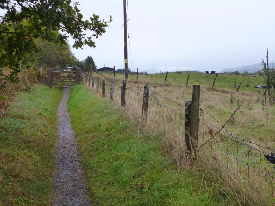
The West Highland and Rob Roy Way Circular is an easy 3½-mile (5½ km) loop from Drymen village square. It follows Stirling Road toward the bypass, picks up West Highland Way markers, climbs through forest to Old Gartmore Road, and returns downhill to the village. You get a short taste of two long-distance walks without taking on either full route. Allow about 1½ hours.
The approach is paved through Drymen; a Spar sits on Stirling Road. After the marker turn, the route climbs on a firm forest track. Near a Forestry Commission car park, turn left onto Old Gartmore Road. The downhill return opens onto rolling Stirlingshire views, then stays on a quiet country road where occasional traffic still passes. It is a good easy walk to fit around a Drymen visit, rather than a hike with a summit or dramatic destination.
Begin at Drymen village square and follow Stirling Road east; the Forestry Commission car park is on the far side of the loop, not the start. The route directions do not identify parking for the square. Drymen's shops, cafés and inns make separate stops before or after the walk. Dogs are allowed under Scotland's outdoor access rules when kept under proper control; livestock and ground-nesting-bird guidance applies.
Wildlife
 14 sightingsGolden EagleMost seen around 6 PMSighting map
 37 sightingsRed DeerMost seen around 7 PMSighting map
 100 sightingsMute SwanMost seen around 11 AMSighting map
 48 sightingsOspreyMost seen around 6 PMSighting map
 24 sightingsEurasian BeaverMost seen around 8 PMSighting map
 37 sightingsEurasian Pine MartenMost seen around 7 PMSighting map
Sighting maps show where each species has been reported across Loch Lomond & The Trossachs. Wildlife moves, so no sighting is guaranteed.
Keep exploring
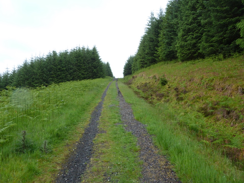 ChallengingRob Roy Way127.1 km · 1.8 days · At the trailheadA week of lochs, forest tracks and Rob Roy country.
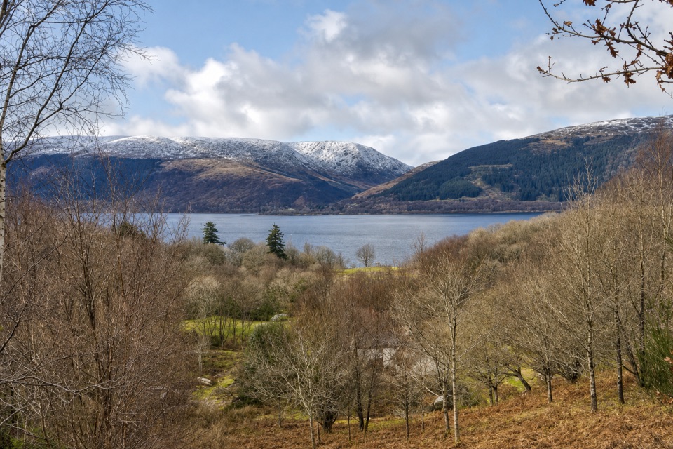 EasyLomond Trail2.6 km · 1.3 hr · 4.2 km awayFollow a long boardwalk across fen to Loch Lomond shore.
 ModerateConic Hill4 km · 2.5 hr · 5.8 km awayA steep climb opens onto Loch Lomond’s long chain of islands.
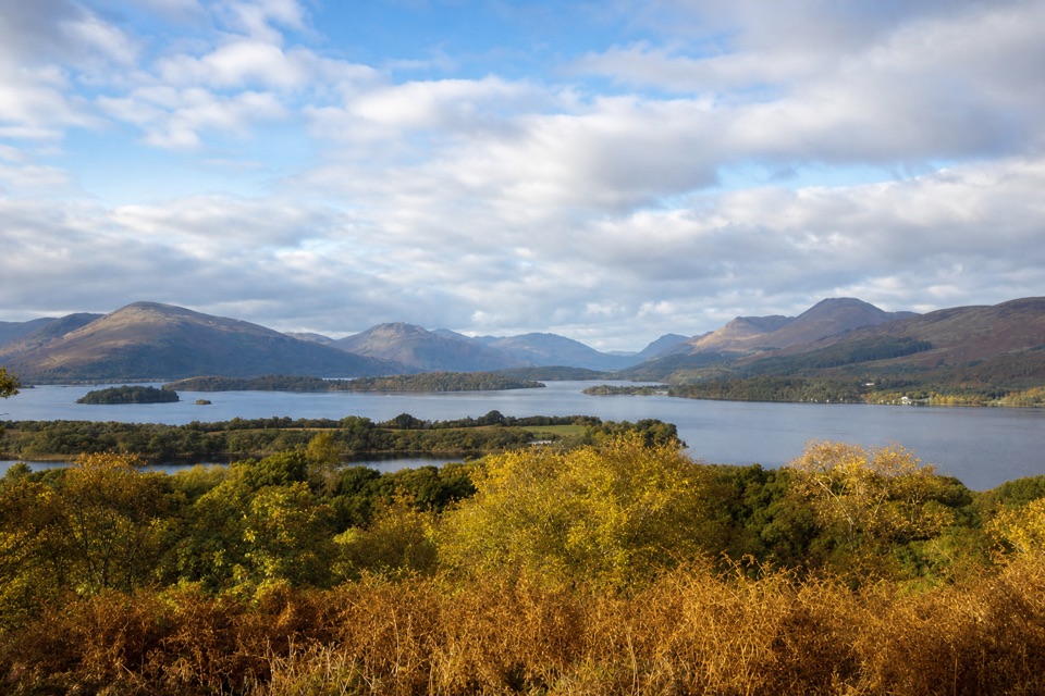 ModerateSummit Path, Inchcailloch1.8 km · 1 hr · 6.5 km awayA short, steep loop to a bench above the loch.
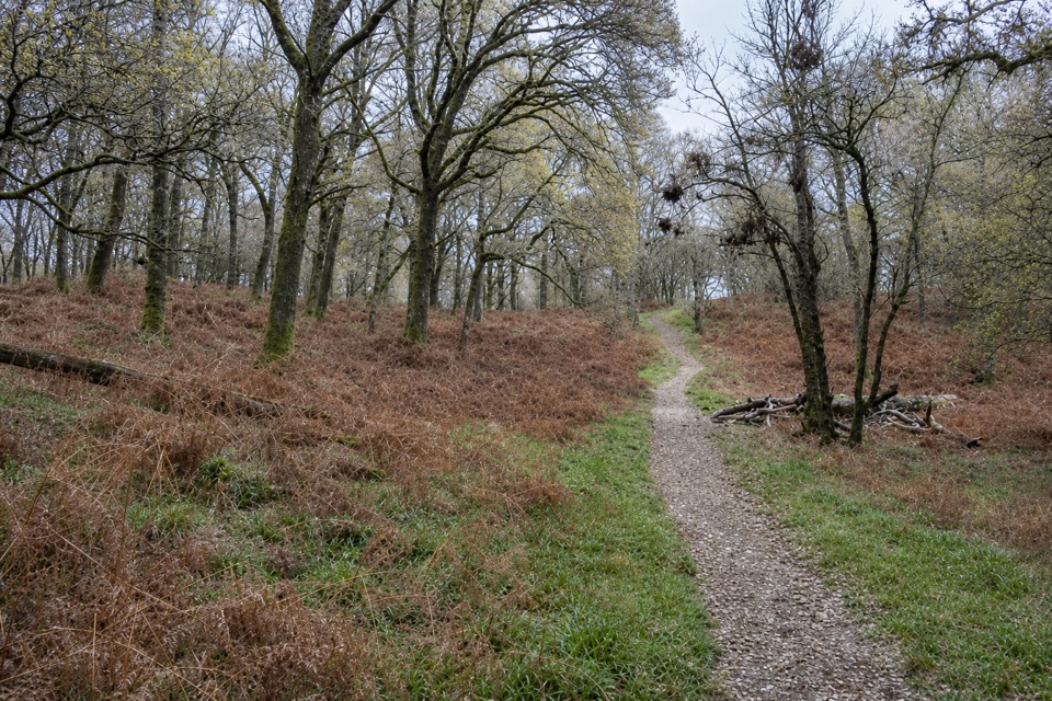 EasyLow Path, Inchcailloch1.5 km · 38 min · 6.9 km awayFollow the gentler oakwood route between Inchcailloch’s two ferry piers.
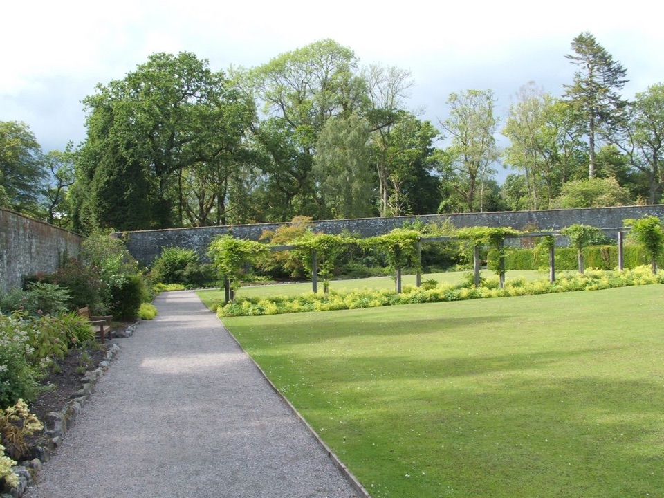 EasyWalled Garden Route, Balloch2.3 km · 30 min · 10.3 km awayA walled garden loop returns beside the River Leven
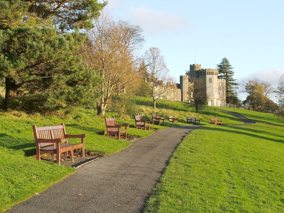 EasyCastle View Route, Balloch Castle Country Park3 km · 1 hr · 10.5 km awayA short loop links the castle view with the Loch Lomond shore.
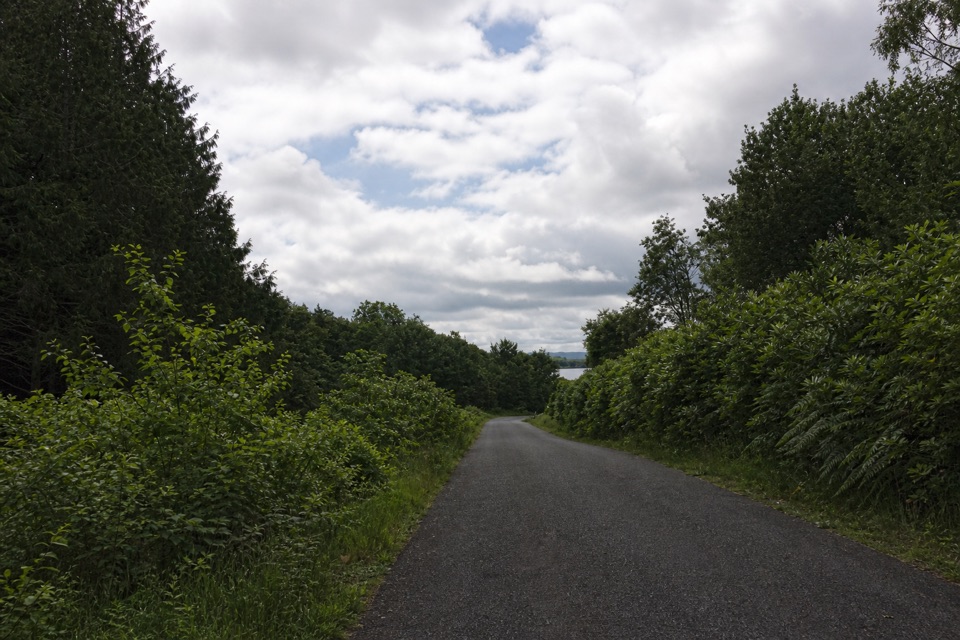 EasyBirch Path: Memorial and Pond1 km · 30 min · 10.6 km awayA pond, old birches and a memorial in one easy kilometre.
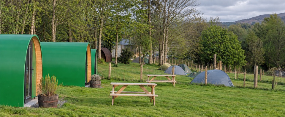 Campground · 1.8 km awayDrymen CampingTent pitches and pods directly on the West Highland Way.
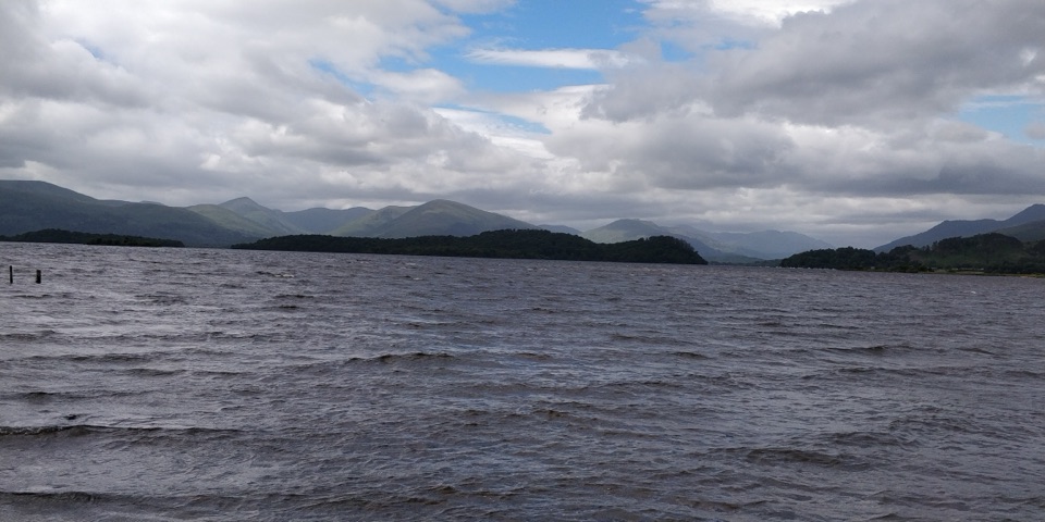 Visitor center · 3.9 km awayRSPB Loch Lomond Nature HubWetlands, oak woods and a proper Loch Lomond shoreline walk.
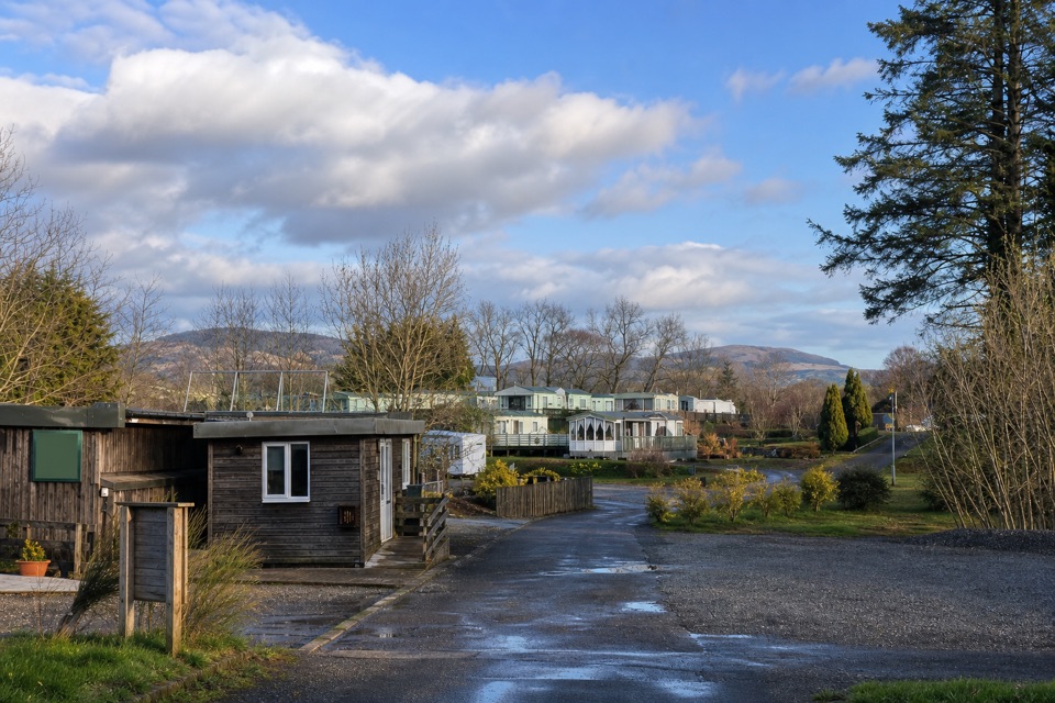 Campground · 4.8 km awayLagganbeg Caravan and Camping ParkA quiet campsite with a loch shore walk and hill views.
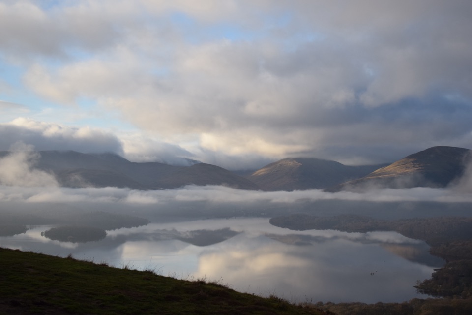 Sight · 5.6 km awayConic HillA short, steep hill with a huge view over Loch Lomond's islands.
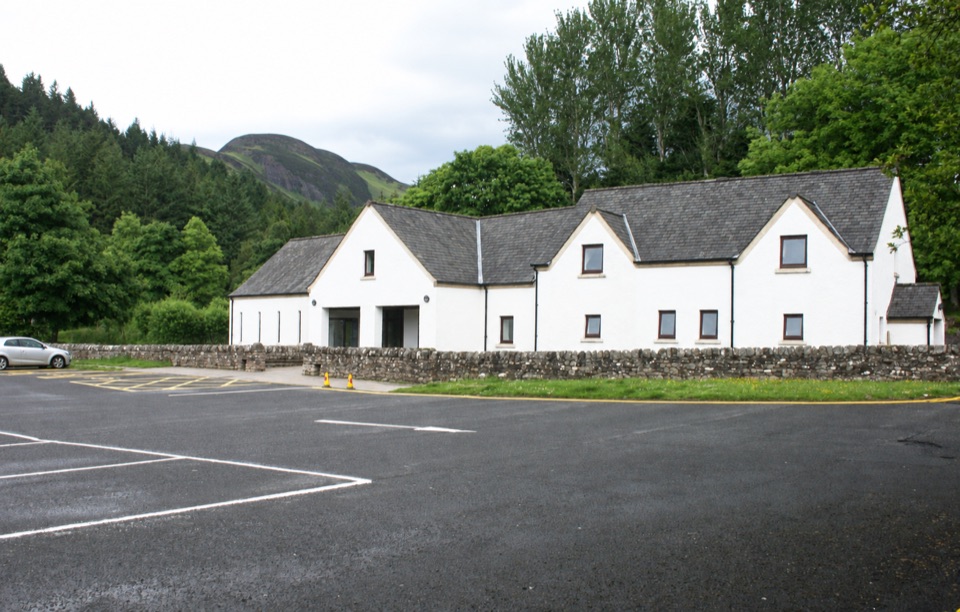 Visitor center · 5.8 km awayBalmaha Visitor CentreA useful base for Conic Hill, lochside walks and local stories.
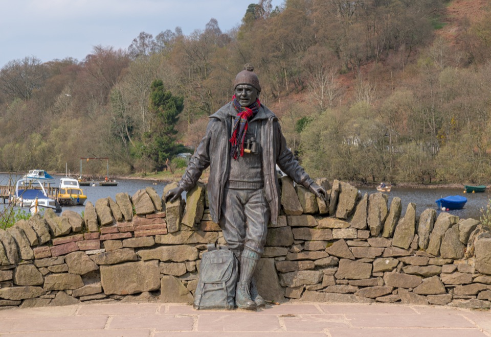 Sight · 5.9 km awayTom Weir StatueA lochside memorial with a real Scottish outdoors story.
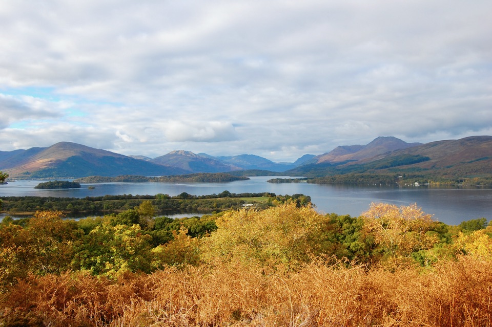 Sight · 6.6 km awayInchcaillochA boat-access island of bluebells, woodland paths, and big loch views.
 Beach · 7.2 km awayMilarrochy BayA lone oak, open water and a classic Loch Lomond shoreline.
Parkwolf’s Loch Lomond & The Trossachs ranking

The audio tour guide for the drive, plus offline maps, trails, and wildlife heatmaps for when the signal drops.




