Lomond Trail in Loch Lomond & The Trossachs National Park

Loch Lomond & The Trossachs National Park, SC

Lomond Trail

Follow a long boardwalk across fen to Loch Lomond shore.

Length
2.6km
Time
1.3hr
Elev. change
20m
Difficulty
Easy
  • Dogs allowed
  • High point 27 m
  • #39 of 93 in Loch Lomond & The Trossachs

Hear the audio tour

RSPB Loch Lomond Nature Hub

Overview

About Lomond Trail

Why go

  • A long boardwalk crosses the undrained fen.
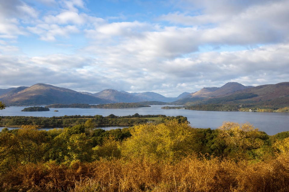
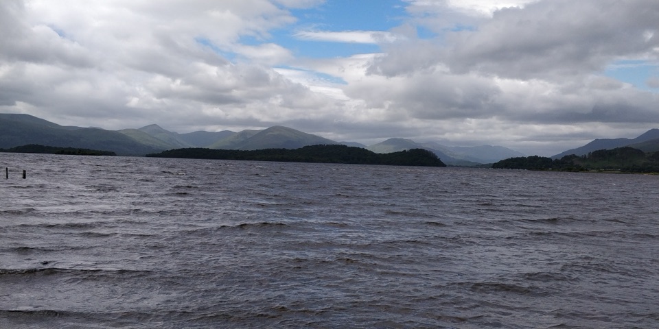
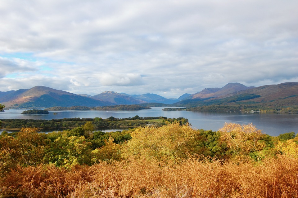
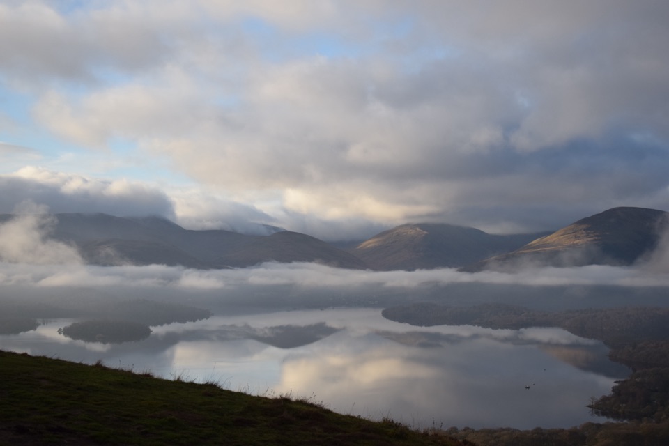
  • Shore benches frame Loch Lomond, Inchcailloch and Conic Hill.

Heads up

  • The car park is on a separate Airey Trail approach to the named route.

Map & elevation

The route

Loading the Loch Lomond & The Trossachs map
Full map
Elevation7–27 m
TrailheadLomond Trail junction on Airey Trail56.05163, -4.51454
Keep this map with you offline in the Parkwolf app

Plan your hike

Before you go

Parking

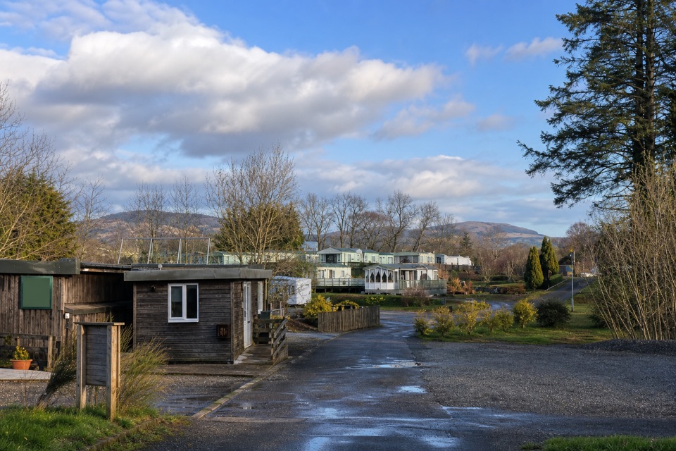
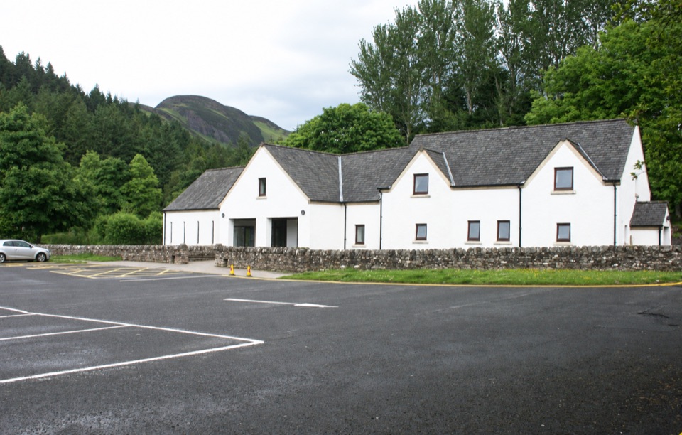
Use the RSPB Loch Lomond Nature Hub car park. Pass the toilet building and picnic table, then follow Airey Trail to the signed Lomond Trail junction; that is the start used for the 1.3 km trail distance. The connector from the car park is additional.


Safety

An unmarked field viewpoint branch near the shore crosses very boggy ground; stay on the signed route.

4 active Loch Lomond & The Trossachs alerts

  • CautionLoch Lomond navigation-aid defectsMentions Loch Lomond, referenced in this guideSeveral navigation aids and hazard marks on Loch Lomond are off station or have lighting discrepancies; boaters should account for them when navigating.Official details
  • CautionA82 restriction near Kings House HotelThe A82 is restricted in both directions near Kings House Hotel, Glencoe, because of planned roadworks. - Temporary traffic lights are in place; follow the traffic management.Official details
See all 4 alerts
A park ranger sits on a dash-mounted phone, talking, as Parkwolf’s Tour Guide plays “Army Cutworm Moths: A Grizzly Bear Buffet” on Grand Loop Road below Dunraven Pass in Yellowstone
Parkwolf Tour GuideThe highest, rockiest slopes around here are a summer buffet for grizzly bears.

Loch Lomond & The Trossachs Tour Guide

Your drive to Lomond Trail, narrated.

Parkwolf is a GPS audio tour guide for Loch Lomond & The Trossachs National Park. As you drive, it chimes in with what’s ahead: hidden gems, upcoming stops, history, geology, and wildlife, right through your car’s speakers.

Recorded for this trailhead

RSPB Loch Lomond Nature Hub
0:00 / 0:29
“You're approaching RSPB Loch Lomond Nature Hub, where a walk can take you from oak woods across fen to the loch shore.”

Plays as you drive up to this trailhead in the Parkwolf Loch Lomond & The Trossachs Tour Guide.

More stories near here in the app

  • The Fen Beneath the Boardwalk
  • The Bluebells' Brief Window
  • Drymen’s Square of Cattle and Bargains
  • The Lamprey That Stays in the Loch
  • 196 audio storiesacross Loch Lomond & The Trossachs’s roads, triggered by GPS as you drive
  • Wildlife heatmapsfor Golden Eagle, Red Deer, Mute Swan, and 13 more
  • Works offlinemaps, 93 trails, 73 places, and audio download before you lose signal
  • CarPlay readysimple controls built for the drive
★★★★★
“Fantastic app with many points of information… It’s great to just turn on while you’re driving and it gives you an audio tour of the national Park. We love it!!!!”
JMJamesApp Store review
Download Parkwolf on the App StoreGet Parkwolf on Google Play

4.7 from 8,600+ ratings

Trail guide

Hiking Lomond Trail

A short path to the shoreThe Lomond Trail is an out-and-back walk from the Airey Trail junction to Loch Lomond, with a…

The Lomond Trail is an out-and-back walk from the Airey Trail junction to Loch Lomond, with a long fen boardwalk and shore benches. Its published distance is 1.3 km one way, so the marked path is 2.6 km (1.6 miles) return. Reaching the junction from the Nature Hub car park on Airey Trail adds an approach. A separate 5.1 km reserve walk covers more tracks.

Through woodland and fenFrom Airey Wood, the path crosses grassland where orchids appear in early summer, then crosses…

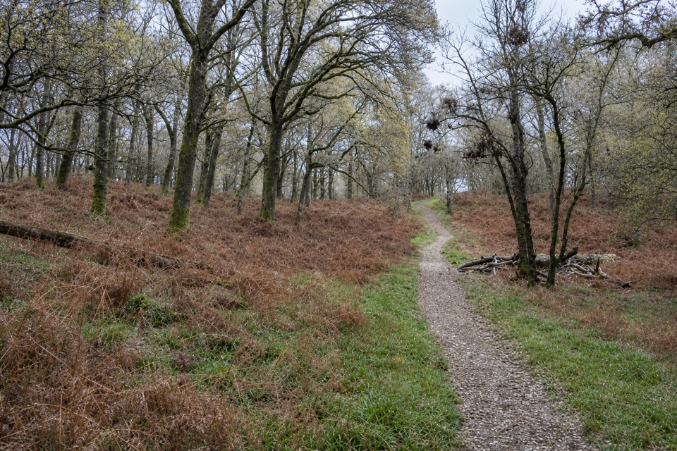
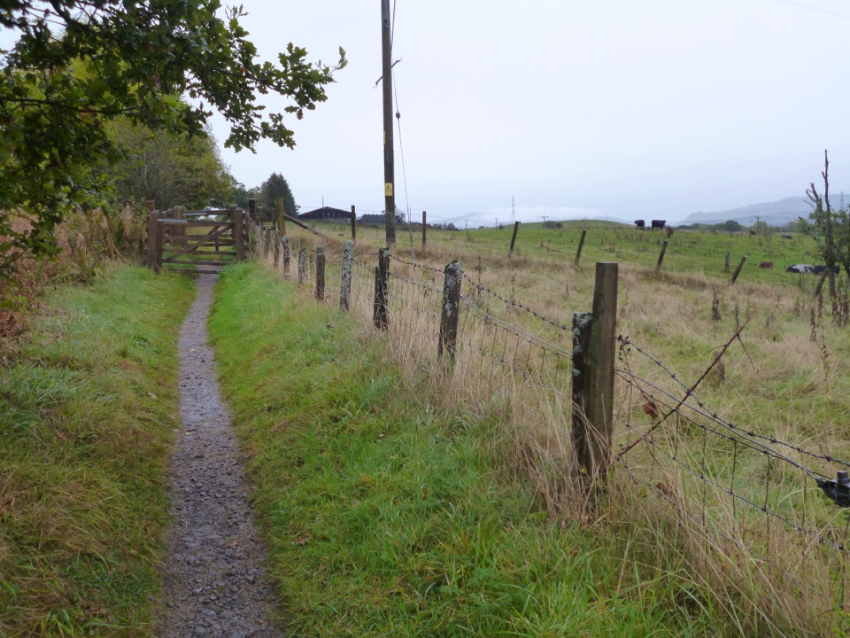
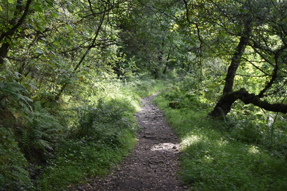
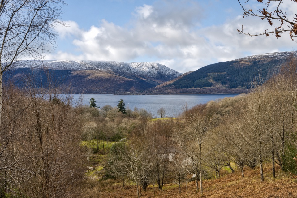
From Airey Wood, the path crosses grassland where orchids appear in early summer, then crosses a burn and a long boardwalk over an undrained fen. The main surface is hardcore with varying gradients; the boardwalk narrows to 1.2 metres at its tightest. After the wetland, shorter boardwalks, trees, a muddy track and gates bring you to Net Bay. Shore benches look over Loch Lomond, with Inchcailloch Island and Conic Hill across the water. The fen is habitat for the Spotted Crake.

Turn around at the shoreFollow the signed Lomond Trail at forks and retrace it from the shore.

Follow the signed Lomond Trail at forks and retrace it from the shore. A tempting unmarked branch crosses boggy ground to a field viewpoint; skip it. Park at the RSPB Loch Lomond Nature Hub and follow Airey Trail to the signed junction. Allow about 1–1.5 hours from the car park, including the approach and a shore stop. Toilets and picnic benches are at the hub; no food outlet or drinking water source was listed. Dogs are allowed on a short lead and must stay on paths.

Wildlife

Wildlife in Loch Lomond & The Trossachs

All Loch Lomond & The Trossachs wildlife maps

Sighting maps show where each species has been reported across Loch Lomond & The Trossachs. Wildlife moves, so no sighting is guaranteed.

Keep exploring

Near Lomond Trail

See it all on the map

Trails that start nearby

Places near the trailhead

Parkwolf’s Loch Lomond & The Trossachs ranking

Top-rated trails in Loch Lomond & The Trossachs

All 93 trails
  1. 1West Highland WayChallenging · 154.5 km
  2. 2Ben Lomond from RowardennanChallenging · 12.9 km
  3. 3Ben A’anModerate · 3.7 km
  4. 4Conic HillModerate · 4 km
  5. 5The CobblerChallenging · 10.5 km
  6. 6The Great Trossachs PathModerate · 48.3 km

Take Parkwolf to Loch Lomond & The Trossachs.

The audio tour guide for the drive, plus offline maps, trails, and wildlife heatmaps for when the signal drops.

4.7 from 8,600+ ratings

Download Parkwolf on the App StoreGet Parkwolf on Google Play