Parking
Start at Drymen Square; the route ends at Pitlochry’s Memorial Garden, so arrange transport between the two ends. Specific long-stay parking locations and fees at Drymen were not verified.
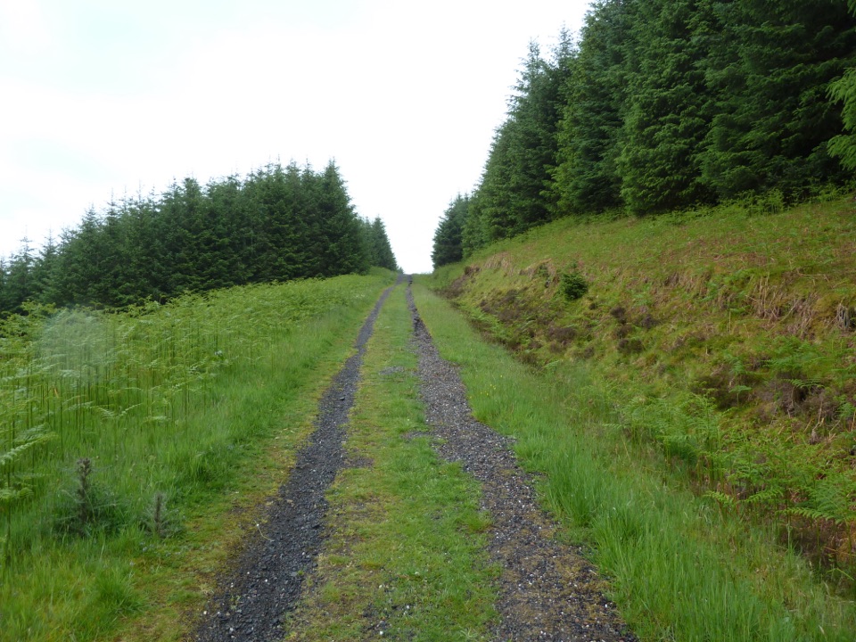
Loch Lomond & The Trossachs National Park, SC
A week of lochs, forest tracks and Rob Roy country.
Overview
Map & elevation
Plan your hike

The highest, rockiest slopes around here are a summer buffet for grizzly bears.
Loch Lomond & The Trossachs Tour Guide
Parkwolf is a GPS audio tour guide for Loch Lomond & The Trossachs National Park. As you drive, it chimes in with what’s ahead: hidden gems, upcoming stops, history, geology, and wildlife, right through your car’s speakers.
Recorded for this trailhead
Drymen Square and the Rob Roy Way“You're approaching Drymen Square, the start of the Rob Roy Way. The full route runs about seventy-nine miles to Pitlochry over six to eight days, crossing lochs, forest and villages linked to Rob Roy MacGregor.”
Plays as you drive up to this trailhead in the Parkwolf Loch Lomond & The Trossachs Tour Guide.
More stories near here in the app
“Fantastic app with many points of information… It’s great to just turn on while you’re driving and it gives you an audio tour of the national Park. We love it!!!!”


Trail guide
Rob Roy Way is an approximately 79-mile, one-way walk from Drymen to Pitlochry, crossing the southern Highlands through lochs, forest, villages and river valleys. Walk it northeast, the direction recommended for the prevailing wind, and allow six to eight days; the route climbs about 2,325 metres in total. It follows places associated with Rob Roy MacGregor (1671–1734), and its days shift between open Highland slopes and easier valley tracks. These figures describe the main line. An optional wilderness extension through Glen Quaich and Glen Almond between Ardtalnaig and Aberfeldy adds about 17 miles and is a different, longer route.
From Drymen Square, the Way heads north on a minor road for nearly four miles, then turns into Loch Ard forest. Tracks pass the Corrie Aqueduct and the domed shafts of the Victorian Loch Katrine water-supply scheme before dropping beside the Bofrishlie Burn. The trees give way near Aberfoyle at the roofless Kirkton Church, whose grounds contain old mort-safes.
North of Aberfoyle, a short stretch on the A821 leads to forest roads and a climb through the Menteith Hills to a small lochan at 220 metres. The descent reaches Loch Venachar and Gartchonzie Bridge; pause for the view across the water toward Ben Ledi. A shortcut at the bridge saves 2.6 miles by bypassing Callander, but that isn’t the full through-town route described here.
From Callander, the Way shares Cycle Route 7 and a sound, often tarmacked surface. A short detour visits the Falls of Leny; farther on, Loch Lubnaig opens beside the path, then the route climbs above Lochan Buidhe, a Site of Special Scientific Interest, and crosses a suspension bridge into Strathyre. It’s easy walking in places, but expect plenty of cycleway and road rather than a continuous footpath.
Leaving Strathyre, forest tracks climb above the valley with views toward Beinn an t-Sidhean, then descend to the cycleway at Kingshouse. The route climbs through Glen Ogle above Lochearnhead and crosses the old Glen Ogle viaduct. After Lochan Lairig Cheile, the main route continues on Cycle Route 7 to Killin and the Falls of Dochart; a forest-road option over a 400-metre mast bypasses the village and is not included in this line.
Beyond Killin, the route leaves the South Loch Tay road and climbs rough tracks to Lochan Breaclaich and Craig Gharbh, the 565-metre high point. The descent across open hillside follows faint paths toward Newton Burn and Brae Farm, then reaches Ardeonaig Hotel and finishes with about three miles on the South Loch Tay road. This is the route’s hardest navigation: the path is not always clear in poor visibility, so bring current mapping and be prepared to follow it carefully.
The Ardtalnaig–Aberfeldy stage begins with 4.7 miles of road to Acharn, then climbs to the falls and Hermit’s Cave. The Queen’s Drive opens views over Loch Tay and Schiehallion; farther east, grassy paths above the River Tay lead to Birks o’ Aberfeldy, the wooded gorge Robert Burns celebrated in his 1787 song. The final stage eases along pavements, riverside paths and a former railway trackbed to Grandtully, crosses the River Tay, then climbs beside the Tullypowrie Burn. Forest road passes a four-poster stone circle before the Clunie Walk and fish ladder bring you into Pitlochry by the Memorial Garden.
Allow six to eight days, or about 42 hours on foot for a seven-day pace. The route’s villages have pubs and bed-and-breakfasts, but there’s no food or drink between Aberfoyle and Callander; confirm what is open for your dates. Dogs are allowed under Scotland’s access code when under proper control. Keep them close at heel or on a short lead near livestock and during the usual April–July ground-nesting season on moorland, in forests and by lochs; never take them into fields with lambs, calves or other young animals. Start in Drymen and arrange transport from Pitlochry at the end. The volunteer-maintained route has changed, so check its current updates and use a current map before setting out.
Wildlife
 14 sightingsGolden EagleMost seen around 6 PMSighting map
 37 sightingsRed DeerMost seen around 7 PMSighting map
 100 sightingsMute SwanMost seen around 11 AMSighting map
 48 sightingsOspreyMost seen around 6 PMSighting map
 24 sightingsEurasian BeaverMost seen around 8 PMSighting map
 37 sightingsEurasian Pine MartenMost seen around 7 PMSighting map
Sighting maps show where each species has been reported across Loch Lomond & The Trossachs. Wildlife moves, so no sighting is guaranteed.
Keep exploring
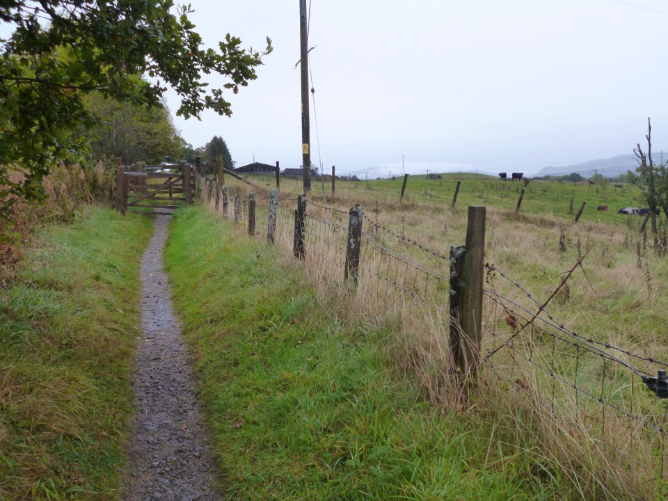 EasyWest Highland and Rob Roy Way Circular5.6 km · 1.5 hr · At the trailheadA gentle loop samples two classic long-distance routes.
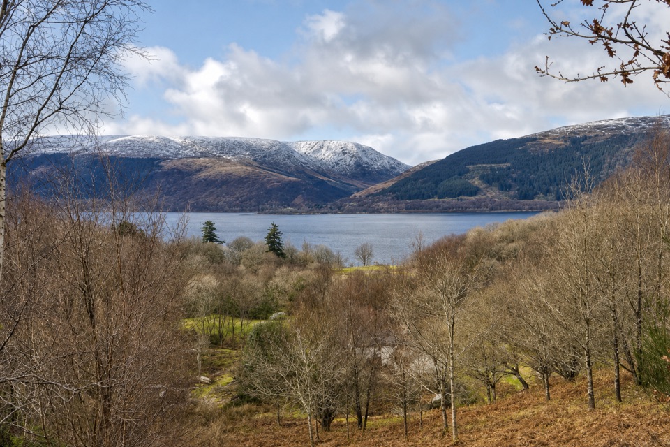 EasyLomond Trail2.6 km · 1.3 hr · 4.2 km awayFollow a long boardwalk across fen to Loch Lomond shore.
 ModerateConic Hill4 km · 2.5 hr · 5.8 km awayA steep climb opens onto Loch Lomond’s long chain of islands.
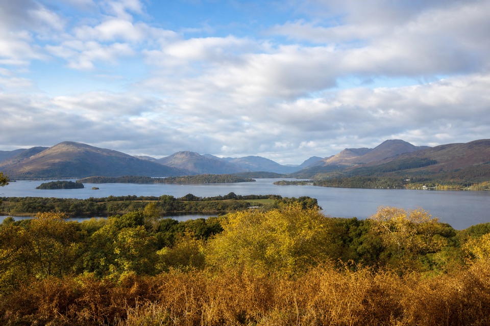 ModerateSummit Path, Inchcailloch1.8 km · 1 hr · 6.5 km awayA short, steep loop to a bench above the loch.
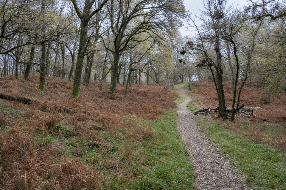 EasyLow Path, Inchcailloch1.5 km · 38 min · 6.9 km awayFollow the gentler oakwood route between Inchcailloch’s two ferry piers.
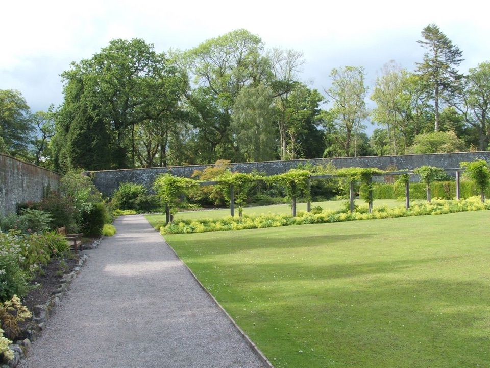 EasyWalled Garden Route, Balloch2.3 km · 30 min · 10.3 km awayA walled garden loop returns beside the River Leven
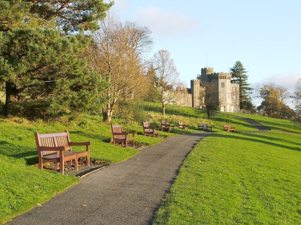 EasyCastle View Route, Balloch Castle Country Park3 km · 1 hr · 10.5 km awayA short loop links the castle view with the Loch Lomond shore.
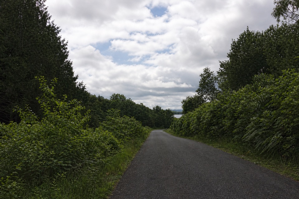 EasyBirch Path: Memorial and Pond1 km · 30 min · 10.6 km awayA pond, old birches and a memorial in one easy kilometre.
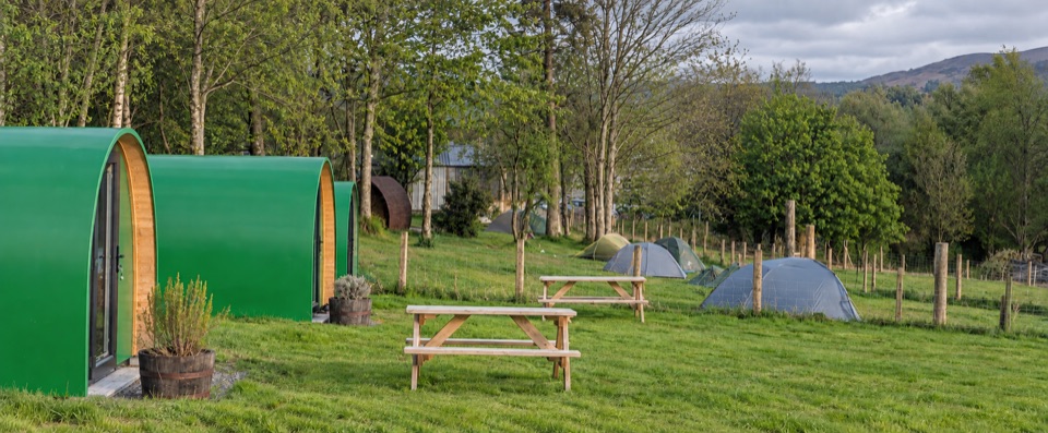 Campground · 1.8 km awayDrymen CampingTent pitches and pods directly on the West Highland Way.
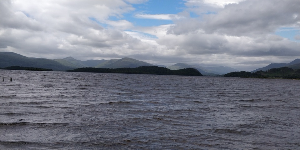 Visitor center · 3.9 km awayRSPB Loch Lomond Nature HubWetlands, oak woods and a proper Loch Lomond shoreline walk.
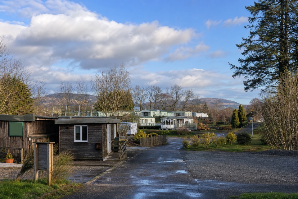 Campground · 4.8 km awayLagganbeg Caravan and Camping ParkA quiet campsite with a loch shore walk and hill views.
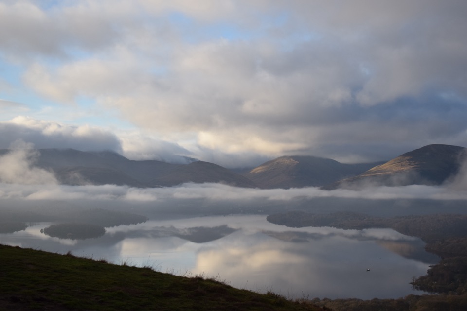 Sight · 5.6 km awayConic HillA short, steep hill with a huge view over Loch Lomond's islands.
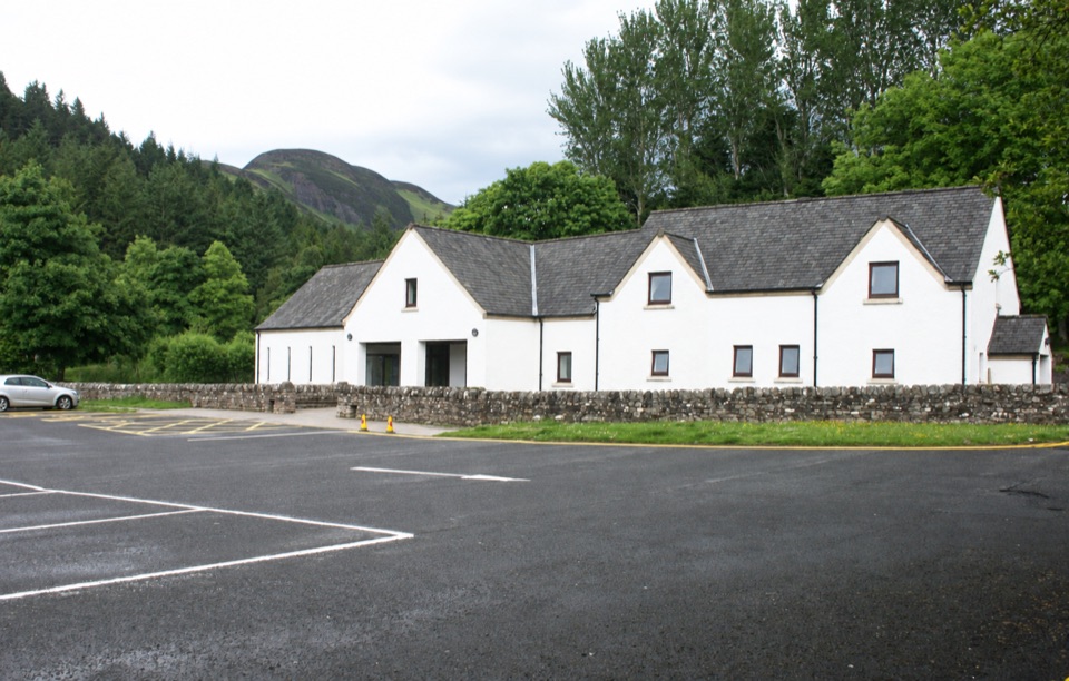 Visitor center · 5.8 km awayBalmaha Visitor CentreA useful base for Conic Hill, lochside walks and local stories.
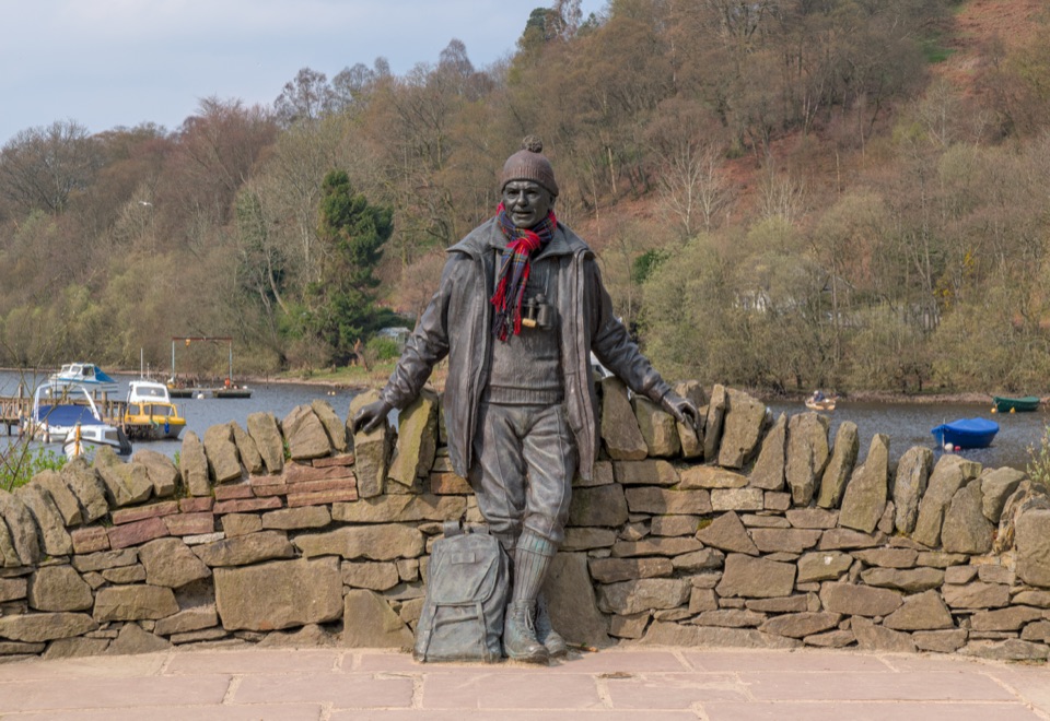 Sight · 5.9 km awayTom Weir StatueA lochside memorial with a real Scottish outdoors story.
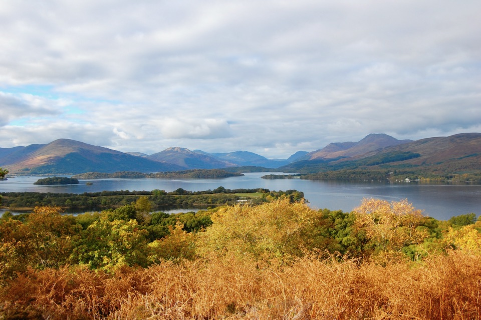 Sight · 6.6 km awayInchcaillochA boat-access island of bluebells, woodland paths, and big loch views.
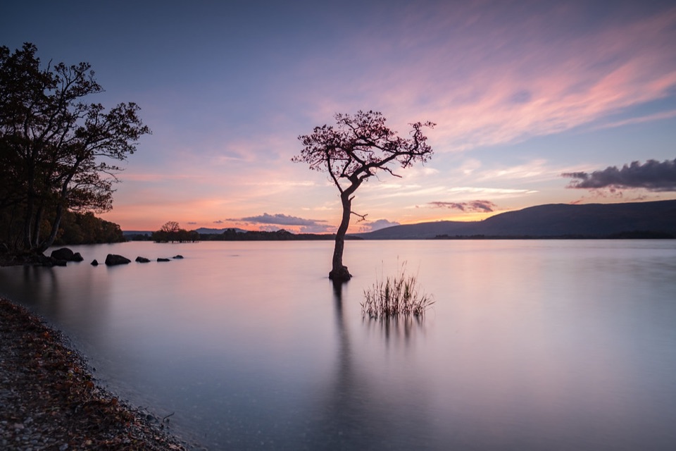 Beach · 7.2 km awayMilarrochy BayA lone oak, open water and a classic Loch Lomond shoreline.
Parkwolf’s Loch Lomond & The Trossachs ranking

The audio tour guide for the drive, plus offline maps, trails, and wildlife heatmaps for when the signal drops.




