Parking
Start at Balloch railway station and follow the waymarkers across the road. The route finishes at Inveruglas; arrange return transport before setting out.
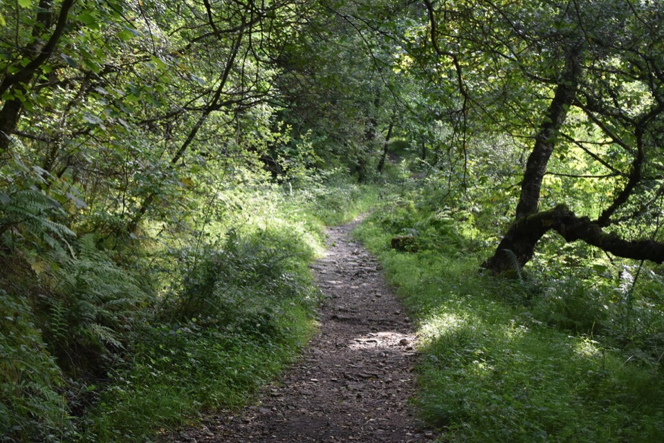
Loch Lomond & The Trossachs National Park, SC
An old coffin road, three lochs, and changing hill views.
Overview
Map & elevation
Plan your hike

The highest, rockiest slopes around here are a summer buffet for grizzly bears.
Loch Lomond & The Trossachs Tour Guide
Parkwolf is a GPS audio tour guide for Loch Lomond & The Trossachs National Park. As you drive, it chimes in with what’s ahead: hidden gems, upcoming stops, history, geology, and wildlife, right through your car’s speakers.
Recorded for this area
Balloch Castle Country Park“You're coming up on Balloch Castle Country Park, a former estate where lawns, garden paths and woodland lead down to Loch Lomond.”
Plays on the road 0.3 km from the trailhead in the Parkwolf Loch Lomond & The Trossachs Tour Guide.
More stories near here in the app
“Fantastic app with many points of information… It’s great to just turn on while you’re driving and it gives you an audio tour of the national Park. We love it!!!!”


Trail guide
The Three Lochs Way is a 34-mile (55 km) point-to-point walk from Balloch north to Inveruglas, linking Loch Lomond, Gare Loch and Loch Long. It is a multi-day lowland route, not a high summit walk: expect roughly 1,500 metres of cumulative climbing over three to four days, with moorland, woods, hard tracks and quiet roads between the lochs. The views shift from Ben Lomond and Loch Lomond to the Clyde, Gare Loch and the Arrochar Alps. The route is waymarked and can be walked in either direction; this description follows the usual Balloch-to-Inveruglas line.
Start at Balloch railway station and pick up the waymarkers across the road. The level opening follows a riverside path past moored boats and Loch Lomond Shores, then Stoneymollan Road brings the first steep climb. This old coffin road rises onto open ground around Gouk Hill. A signed bench viewpoint is a short detour for Loch Lomond and Ben Lomond; Gouk Hill itself reaches 277 metres, but the walk’s payoff is the view from the ridge rather than a summit bag. The descent toward Helensburgh is rough and can be boggy. In town, the route skirts Hill House and follows wooded paths and bridges before crossing rough pasture into Glen Fruin. The valley eases the climb but includes roughly six kilometres on a quiet minor road. A monument and seat mark the 1603 Battle of Glen Fruin.
From Glen Fruin, the way climbs toward Yankee Road and crosses land used for military training. Access can be suspended during firing, so check the current restriction before setting off; a closure can mean a lengthy public-road diversion. North of Garelochhead, tracks and shorter rough paths cross open slopes and woods, with burns, views across Loch Long and the jagged Arrochar Alps ahead. The Glen Douglas-to-Arrochar leg is the roughest-feeling stretch: broad tracks are steep and stony in places and drainage is poor, so expect wet feet and muddy patches. Look back as you descend toward Arrochar; the view across Loch Long makes the climbing feel worthwhile.
From Arrochar/Tarbet railway station, the waymarked path enters beech, birch and oak woodland, then climbs through Glen Loin on a path that is often wet. It descends to the A82 at Inveruglas; a narrow path beside the road leads to the car park and visitor centre, where the route finishes. This is a one-way walk, not a circuit. Rail stations at Balloch, Helensburgh, Garelochhead and Arrochar/Tarbet serve earlier stages; Inveruglas has a bus stop and toilets but no overnight accommodation. Loch Lomond Shores has cafés, shops and toilets near the start, while the villages provide the main food and lodging stops. Allow three to four days; the published stage times add up to about 14–17.5 hours walking before longer breaks. If you want a day out instead, Arrochar to Inveruglas is a supported six-mile one-way stage, but plan its return transport too. Dogs are allowed under Scottish access rights when properly controlled, with extra care around livestock and ground-nesting birds.
Wildlife
 14 sightingsGolden EagleMost seen around 6 PMSighting map
 37 sightingsRed DeerMost seen around 7 PMSighting map
 100 sightingsMute SwanMost seen around 11 AMSighting map
 48 sightingsOspreyMost seen around 6 PMSighting map
 24 sightingsEurasian BeaverMost seen around 8 PMSighting map
 37 sightingsEurasian Pine MartenMost seen around 7 PMSighting map
Sighting maps show where each species has been reported across Loch Lomond & The Trossachs. Wildlife moves, so no sighting is guaranteed.
Keep exploring
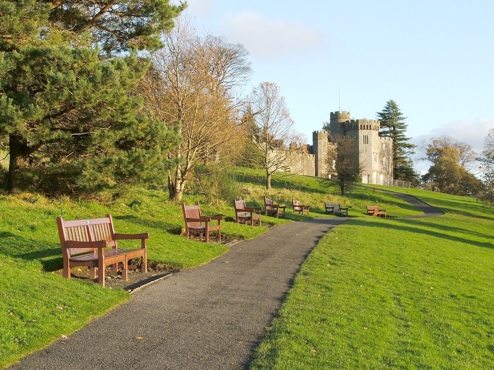 EasyCastle View Route, Balloch Castle Country Park3 km · 1 hr · 0.3 km awayA short loop links the castle view with the Loch Lomond shore.
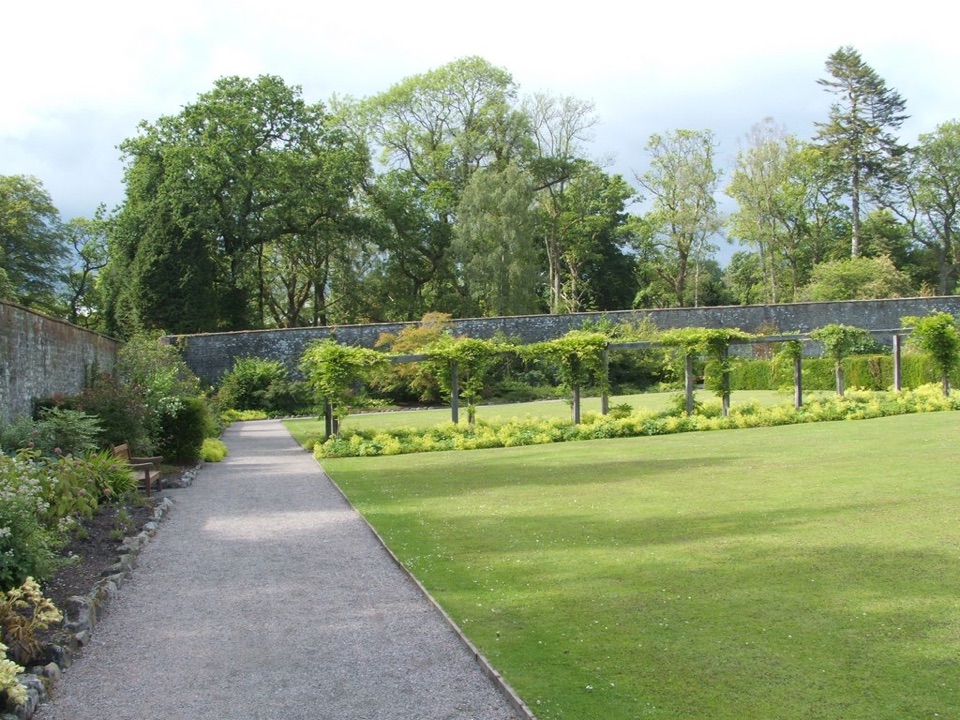 EasyWalled Garden Route, Balloch2.3 km · 30 min · 0.5 km awayA walled garden loop returns beside the River Leven
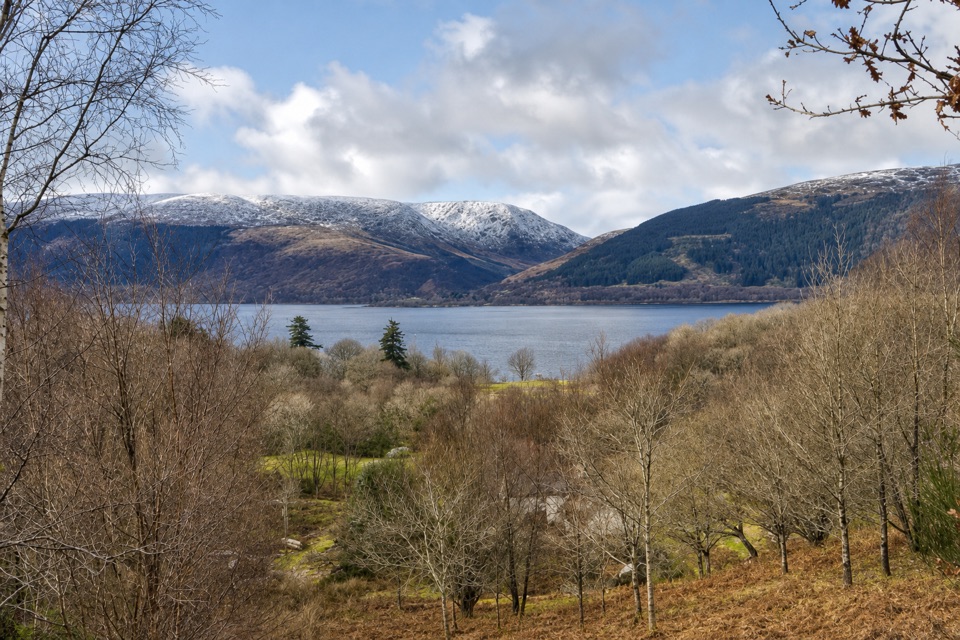 EasyLomond Trail2.6 km · 1.3 hr · 7 km awayFollow a long boardwalk across fen to Loch Lomond shore.
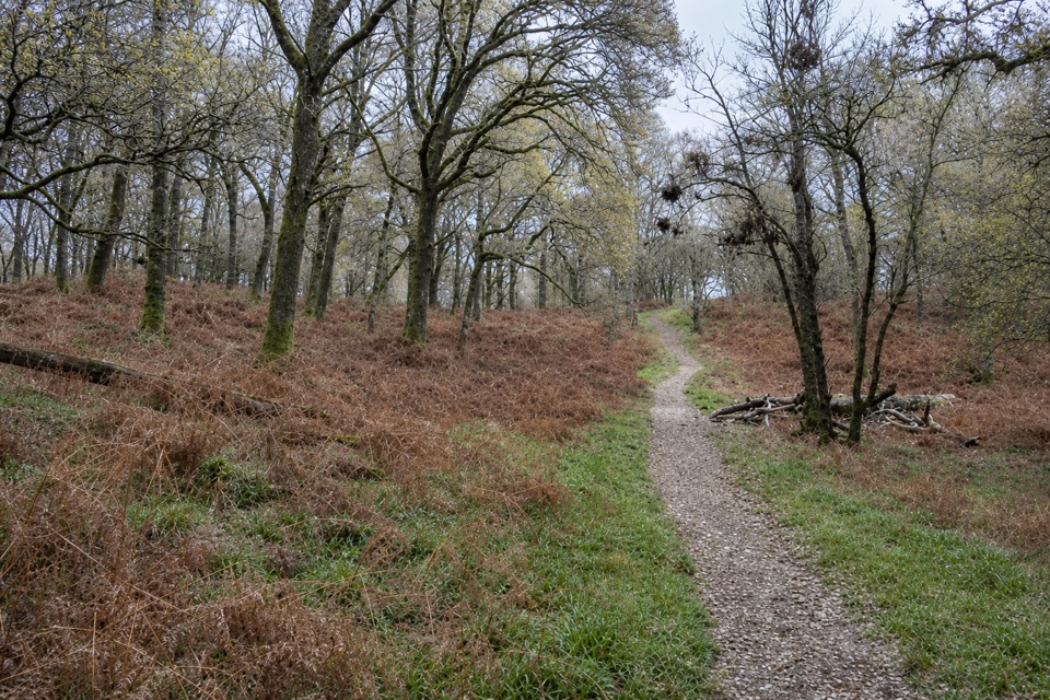 EasyLow Path, Inchcailloch1.5 km · 38 min · 8.3 km awayFollow the gentler oakwood route between Inchcailloch’s two ferry piers.
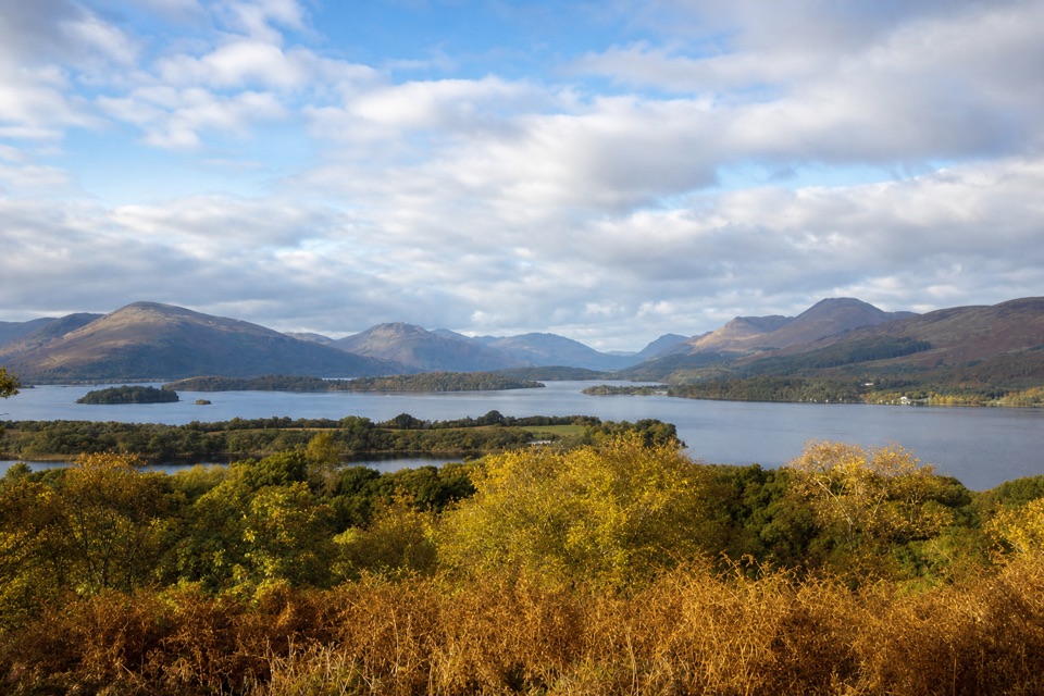 ModerateSummit Path, Inchcailloch1.8 km · 1 hr · 9.1 km awayA short, steep loop to a bench above the loch.
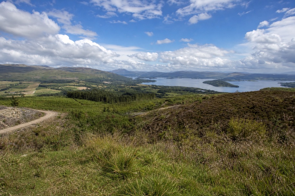 ModerateGouk Hill from Helensburgh16.6 km · 5 hr · 9.5 km awayA long climb to rocky views over Loch Lomond.ChallengingJohn Muir Way215.7 km · 2.5 days · 9.5 km awayA 134-mile crossing from Helensburgh to Muir’s birthplace in Dunbar.
 ModerateConic Hill4 km · 2.5 hr · 9.7 km awayA steep climb opens onto Loch Lomond’s long chain of islands.
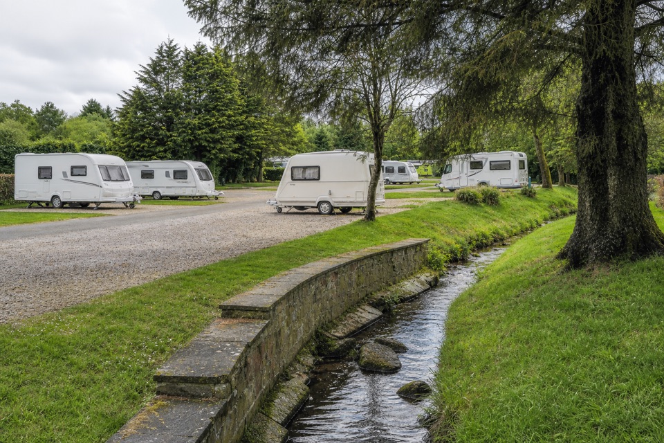 Campground · 0.6 km awayLomond Woods Holiday ParkWoodland pitches and cabins, with Lomond Shores a short walk away
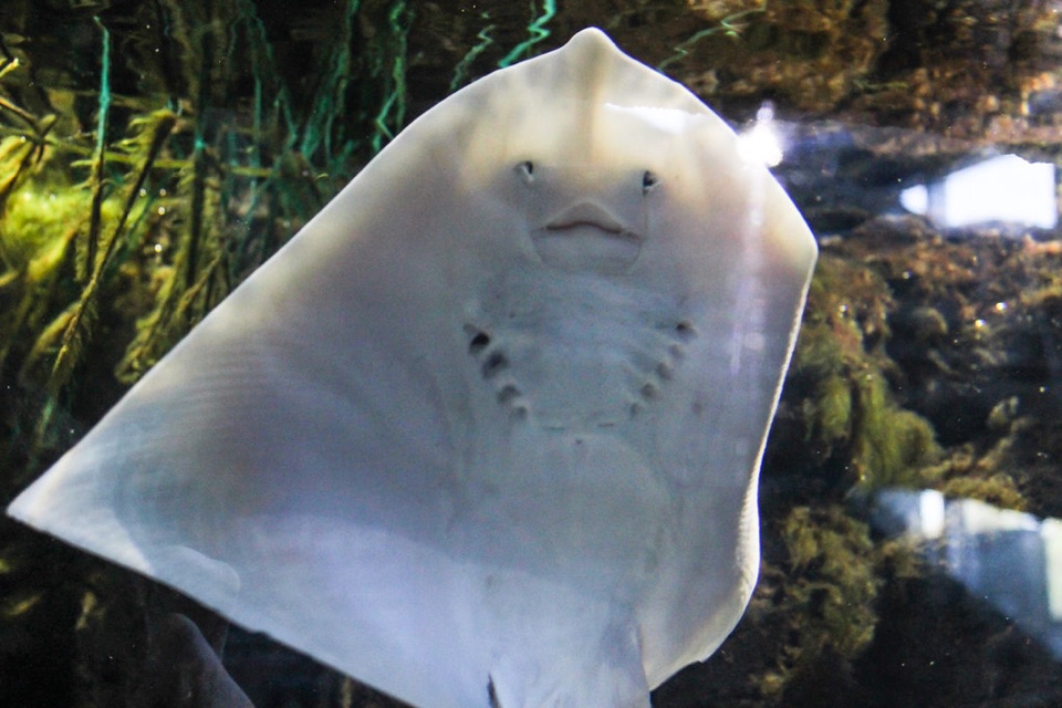 Sight · 0.6 km awaySEA LIFE Loch Lomond AquariumA compact aquarium with a walk-through tunnel, otters and loch views.
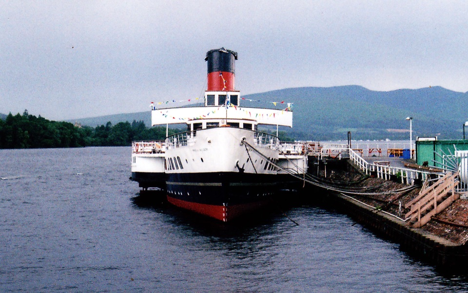 Sight · 0.8 km awayMaid of the Loch and Balloch Steam SlipwayA last-of-its-kind paddle steamer beside a working historic slipway.
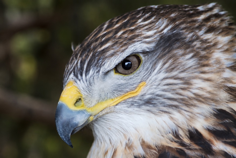 Sight · 0.8 km awayLoch Lomond Bird of Prey CentreWoodland flying displays and all five of Britain's native owls.
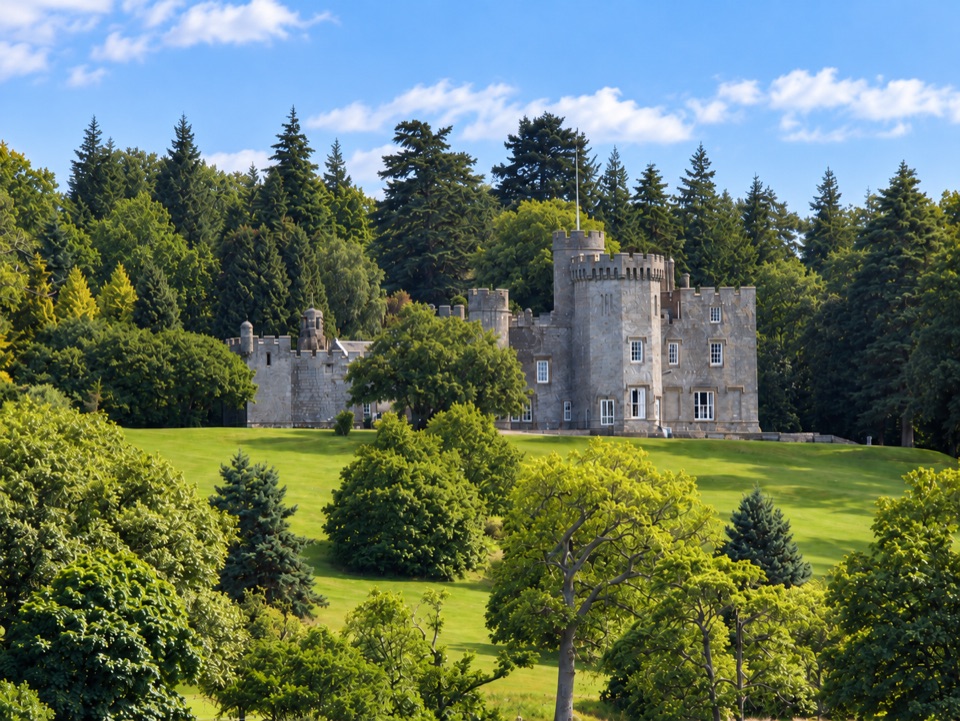 Sight · 1 km awayBalloch Castle Country ParkGardens, woodland and a lochside picnic without a hill climb
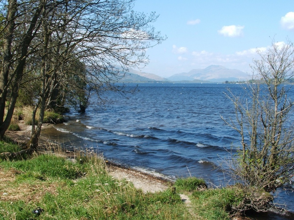 Beach · 2.4 km awayDuck Bay Beach and Picnic AreaSand, pebbles and picnic grass with wide views across the loch
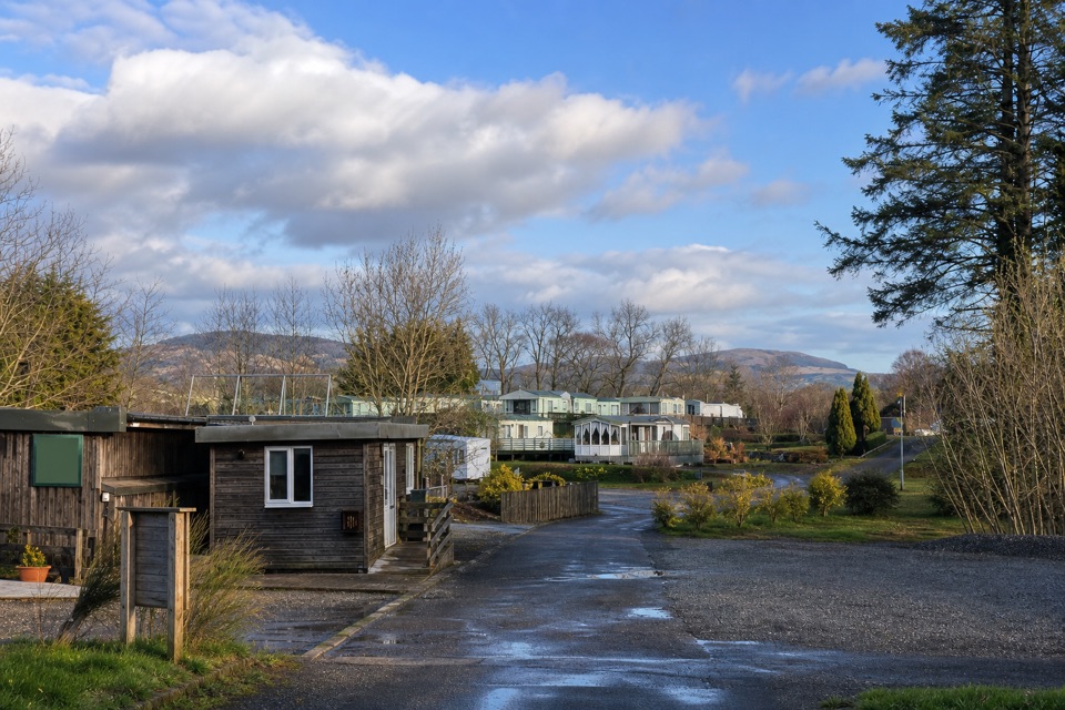 Campground · 6.6 km awayLagganbeg Caravan and Camping ParkA quiet campsite with a loch shore walk and hill views.
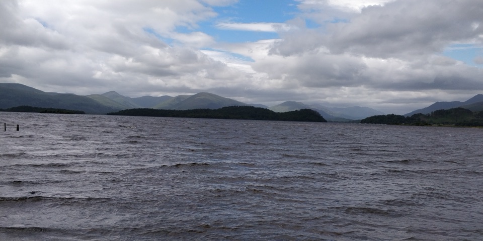 Visitor center · 7.1 km awayRSPB Loch Lomond Nature HubWetlands, oak woods and a proper Loch Lomond shoreline walk.
Parkwolf’s Loch Lomond & The Trossachs ranking

The audio tour guide for the drive, plus offline maps, trails, and wildlife heatmaps for when the signal drops.




