Parking
Reach the island by ferry from Balmaha or Luss. Start at Port Bawn and finish at North Pier; confirm the landing and pickup pier with the operator.
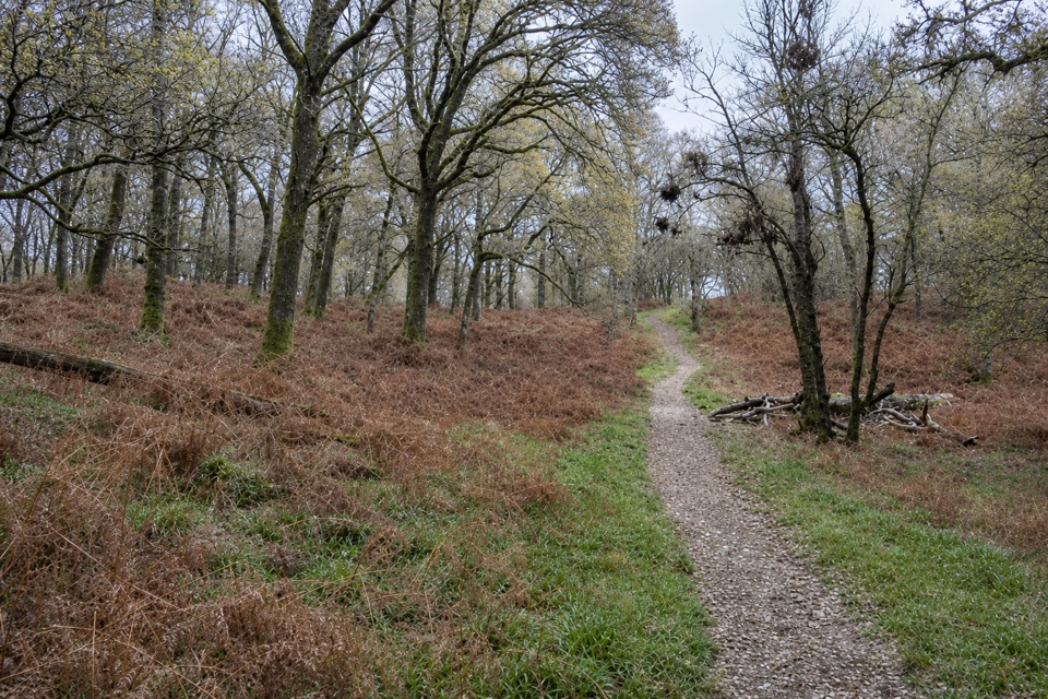
Loch Lomond & The Trossachs National Park, SC
Follow the gentler oakwood route between Inchcailloch’s two ferry piers.
Overview
Map & elevation
Plan your hike

The highest, rockiest slopes around here are a summer buffet for grizzly bears.
Loch Lomond & The Trossachs Tour Guide
Parkwolf is a GPS audio tour guide for Loch Lomond & The Trossachs National Park. As you drive, it chimes in with what’s ahead: hidden gems, upcoming stops, history, geology, and wildlife, right through your car’s speakers.
Recorded for this trailhead
Balmaha and Inchcailloch“You're approaching Balmaha, the village departure point for boats to Inchcailloch across Loch Lomond. I'd choose the island if you want a boat ride, quiet woodland and a hilltop view in one half-day.”
Plays as you drive up to this trailhead in the Parkwolf Loch Lomond & The Trossachs Tour Guide.
More stories near here in the app
“Fantastic app with many points of information… It’s great to just turn on while you’re driving and it gives you an audio tour of the national Park. We love it!!!!”


Trail guide
Low Path is a roughly 0.92-mile, one-way walk from Port Bawn beach to North Pier through Inchcailloch’s western woodland. It is the island’s gentler shore route, with a few slopes and steps, rather than the steep Summit Path. Allow about 30–45 minutes, including stops. This is a crossing between two landings, not a loop; the distance follows the Low Path and its connected northern approach to the pier.
From the beach, the path heads clockwise into oakwood. Most of the way is a narrow earth-and-gravel track; one damp stretch uses wooden duckboards, and there are some steps. The island’s woods were shaped by people: oak bark was harvested for tannin used in leather-making, and the trees were replanted as that trade grew. Today, fallen timber is left where it drops unless it blocks the path or threatens visitors.
A low farm ruin sits beside the route. A short side path leads to the old churchyard, a worthwhile addition if you want the island’s human history; it is not included in the mapped distance. The last burial there was in 1947. The Low Path gives you a slower look at the woodland than the direct central crossing, without the Summit Path’s climb.
Arrange boat access from Balmaha or Luss, and confirm which landing your operator uses: this walk starts at Port Bawn and finishes at North Pier. The Central Path links the two piers directly in about 20 minutes if you need to return to Port Bawn on foot; that extra walk is not in the distance above. Island visits depend on weather and boat service.
There are compost toilets and first-come picnic tables, but no running water. Dogs are allowed under close control or on a short lead; bag and carry out their waste. Wet ground, steps and ticks are the main practical concerns, so stay on the marked path.
Wildlife
 14 sightingsGolden EagleMost seen around 6 PMSighting map
 37 sightingsRed DeerMost seen around 7 PMSighting map
 100 sightingsMute SwanMost seen around 11 AMSighting map
 48 sightingsOspreyMost seen around 6 PMSighting map
 24 sightingsEurasian BeaverMost seen around 8 PMSighting map
 37 sightingsEurasian Pine MartenMost seen around 7 PMSighting map
Sighting maps show where each species has been reported across Loch Lomond & The Trossachs. Wildlife moves, so no sighting is guaranteed.
Keep exploring
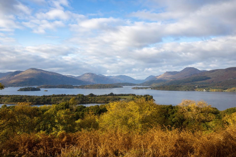 ModerateSummit Path, Inchcailloch1.8 km · 1 hr · 0.9 km awayA short, steep loop to a bench above the loch.
 ModerateConic Hill4 km · 2.5 hr · 1.8 km awayA steep climb opens onto Loch Lomond’s long chain of islands.
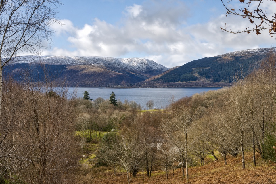 EasyLomond Trail2.6 km · 1.3 hr · 4 km awayFollow a long boardwalk across fen to Loch Lomond shore.
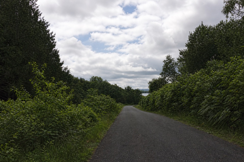 EasyBirch Path: Memorial and Pond1 km · 30 min · 5.3 km awayA pond, old birches and a memorial in one easy kilometre.
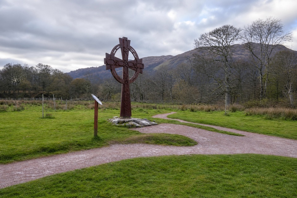 EasyLuss Glebe Loop1.2 km · 24 min · 5.4 km awayAn easy loop among meadow, oakwood and Loch Lomond shore.
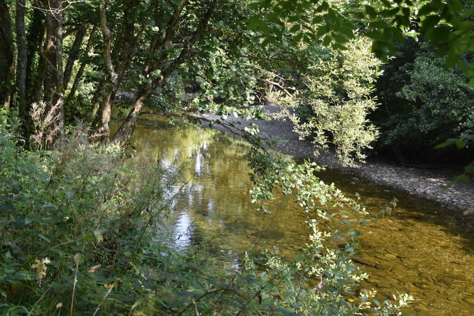 EasyRiver Path, Luss1.3 km · 30 min · 5.6 km awayA level riverside stroll to a footbridge over Luss Water.
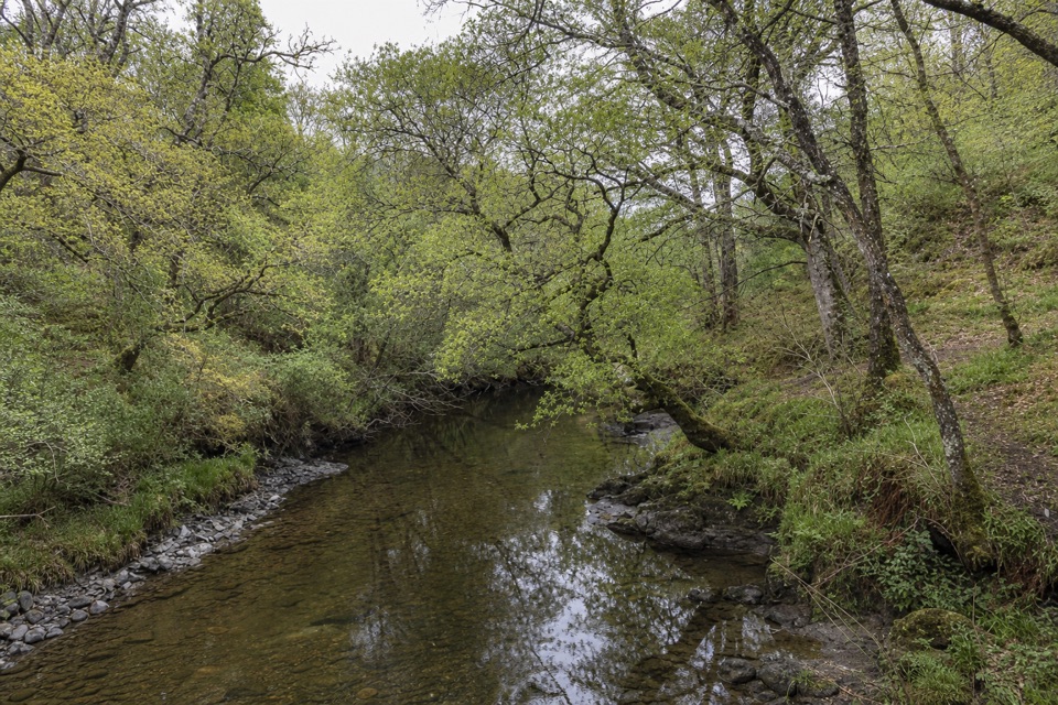 EasySlate Quarry Path, Luss1.8 km · 30 min · 5.6 km awayA compact loop past Luss’s old slate quarry and mill
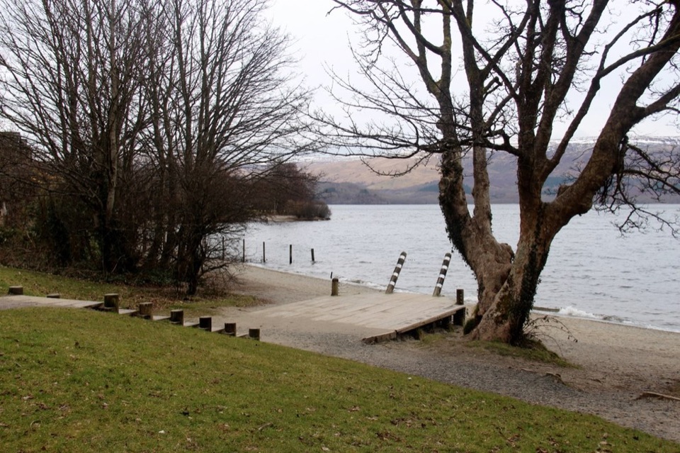 EasyLuss Heritage Path2.8 km · 1 hr · 5.6 km awayQuarry woodland, riverside paths and Luss’s lochside pier
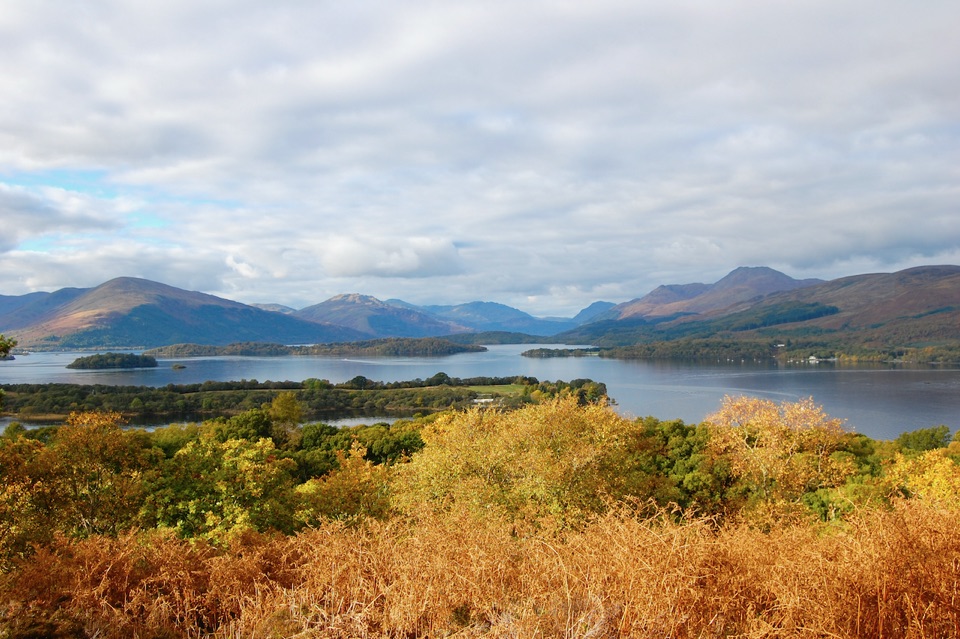 Sight · 0.4 km awayInchcaillochA boat-access island of bluebells, woodland paths, and big loch views.
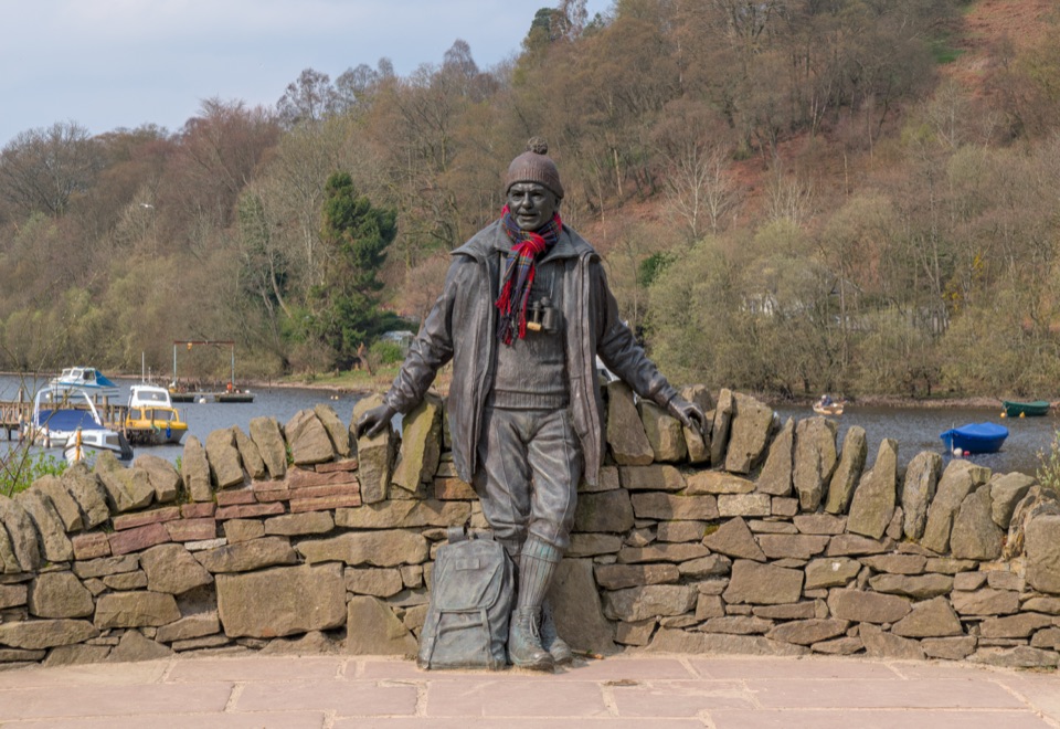 Sight · 1.6 km awayTom Weir StatueA lochside memorial with a real Scottish outdoors story.
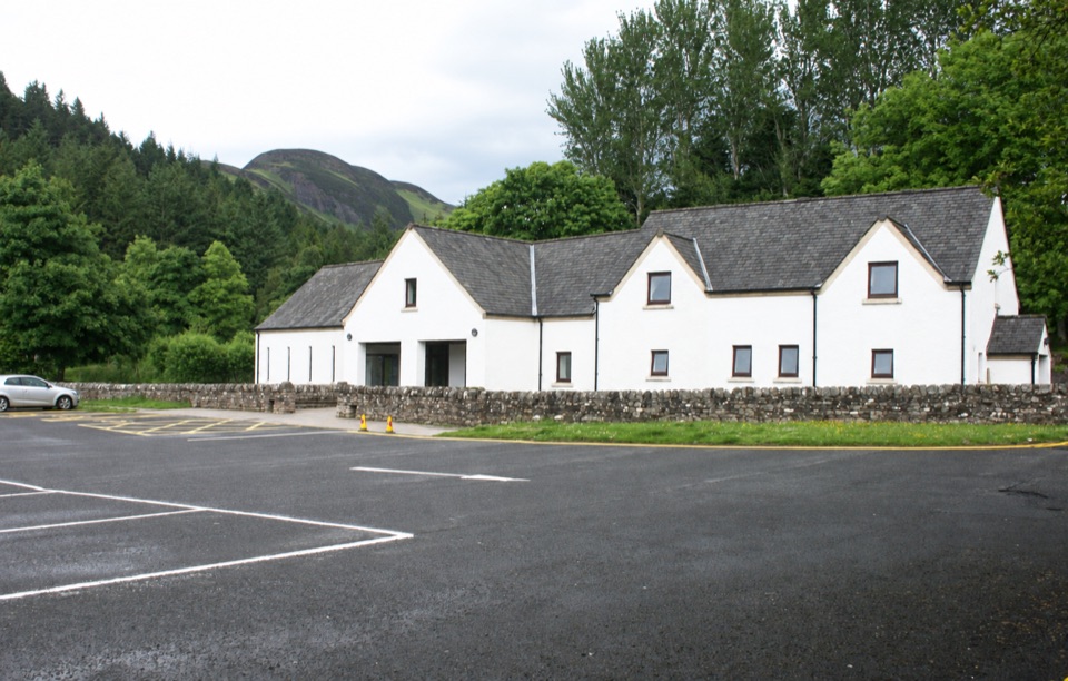 Visitor center · 1.8 km awayBalmaha Visitor CentreA useful base for Conic Hill, lochside walks and local stories.
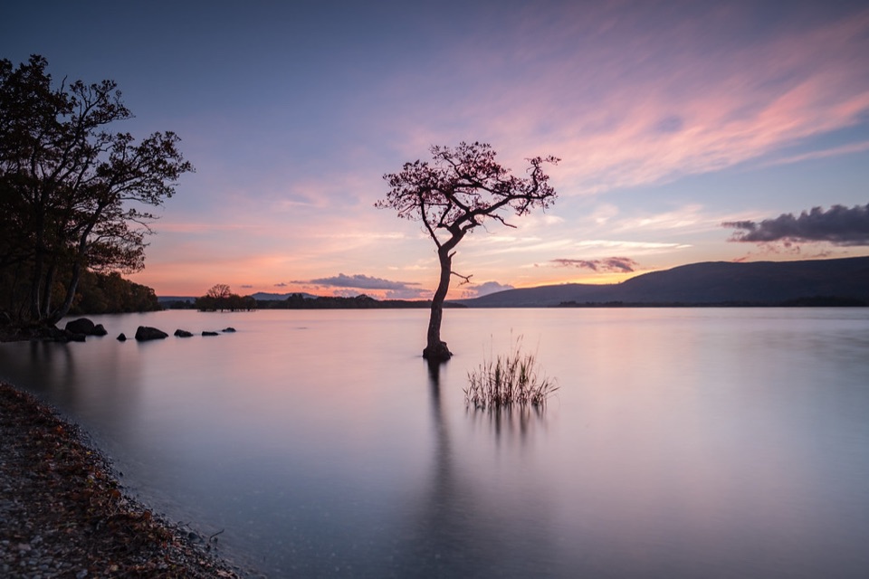 Beach · 2.2 km awayMilarrochy BayA lone oak, open water and a classic Loch Lomond shoreline.
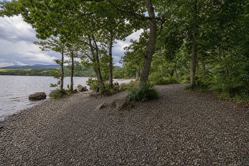 Campground · 2.7 km awayMilarrochy Bay Camping and Caravanning Club SiteA lochside base for paddling, camping, and the West Highland Way.
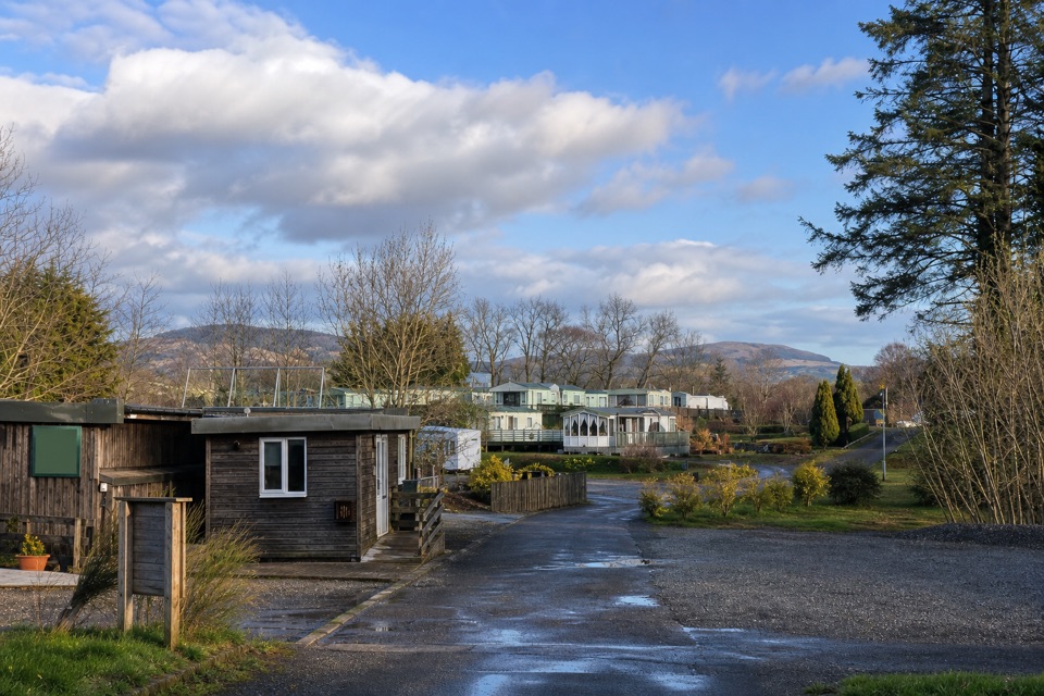 Campground · 3.5 km awayLagganbeg Caravan and Camping ParkA quiet campsite with a loch shore walk and hill views.
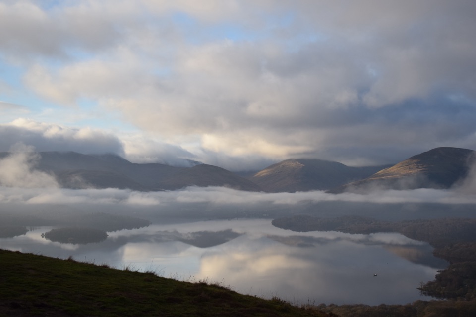 Sight · 3.6 km awayConic HillA short, steep hill with a huge view over Loch Lomond's islands.
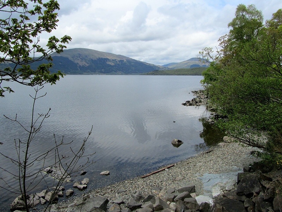 Campground · 4.2 km awayCashel CampsiteA lochside base with water access and the West Highland Way.
Parkwolf’s Loch Lomond & The Trossachs ranking

The audio tour guide for the drive, plus offline maps, trails, and wildlife heatmaps for when the signal drops.




