Dennison Ferry Day Use Area

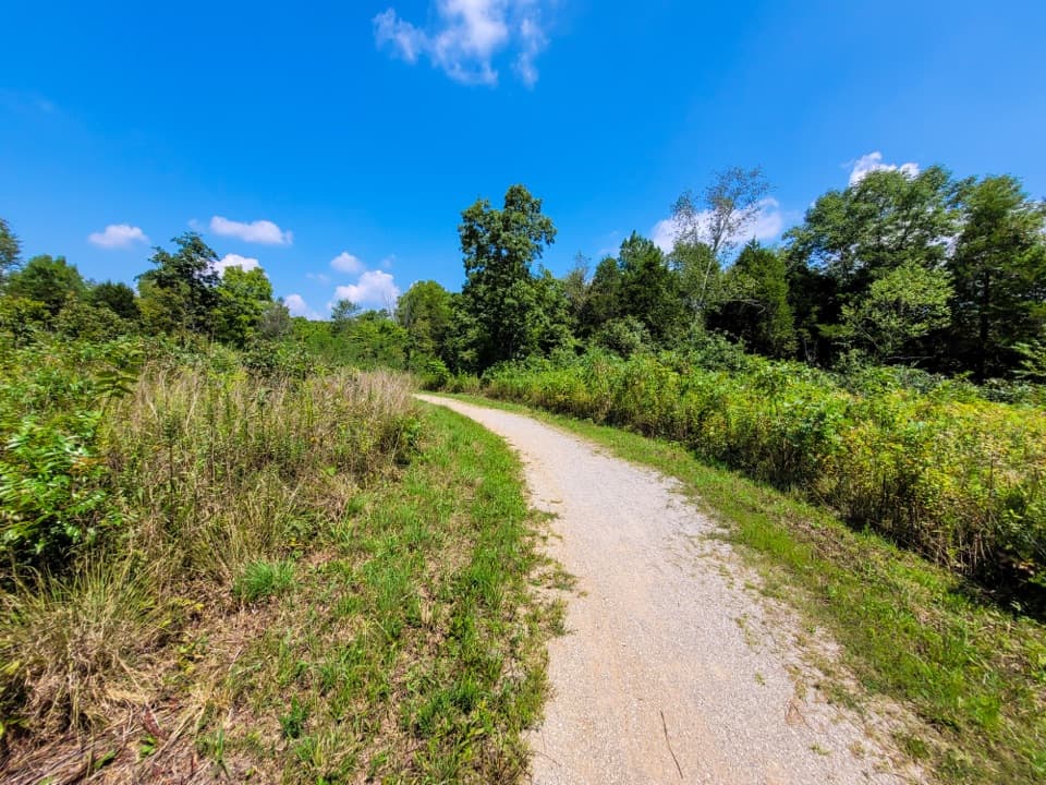
Secluded Green River launch and picnic spot down a gravel road
Dennison Ferry Day Use Area, Mammoth Cave National Park
InsideMammoth Cave National Park

Overview

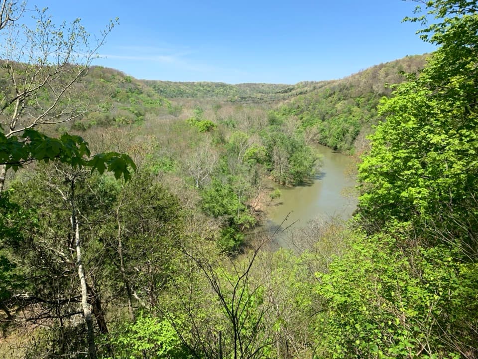
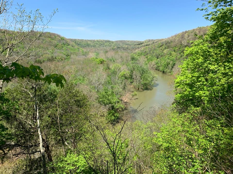
Tucked away down a gravel road, Dennison Ferry Day Use Area is a low‑key river access and picnic spot on the Green River. It’s the classic starting point for the Dennison‑to‑Green River Ferry paddle—an easy, scenic float that shows off the waterway that carved Mammoth Cave.

What You’ll Do

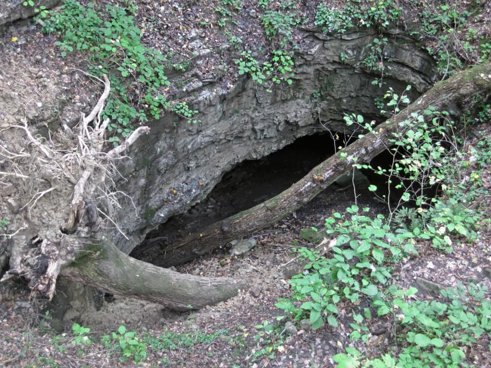
  • Paddling: Most folks launch here and float about 7.7 miles to the take‑out near Green River Ferry. Expect mellow flatwater with riffles, gravel bars, islands, and occasional back channels. In lower water, some riverside caves can be reachable on foot. Features shift year to year, so stay alert for downed trees and submerged obstacles.
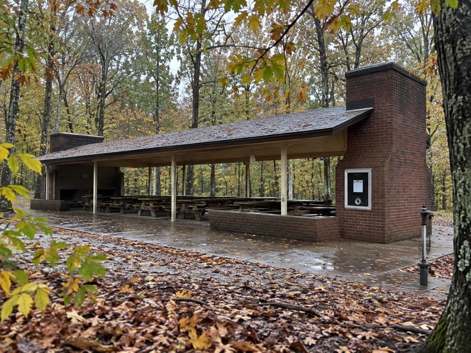
  • Picnicking: A handful of picnic tables and a fire ring make this a peaceful lunch stop far from the visitor center bustle.

Facilities & What to Expect

  • Day-use only (no camping).
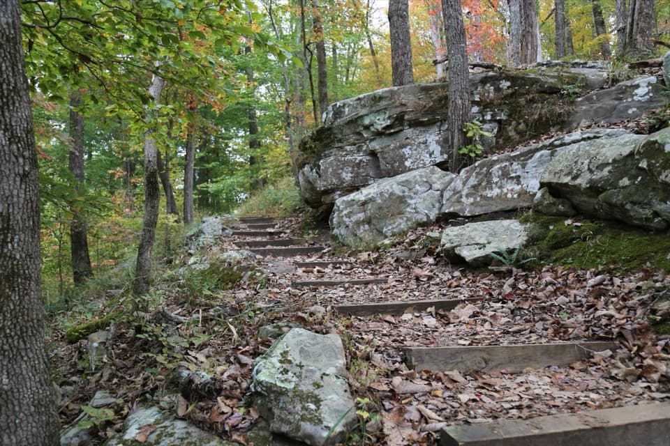
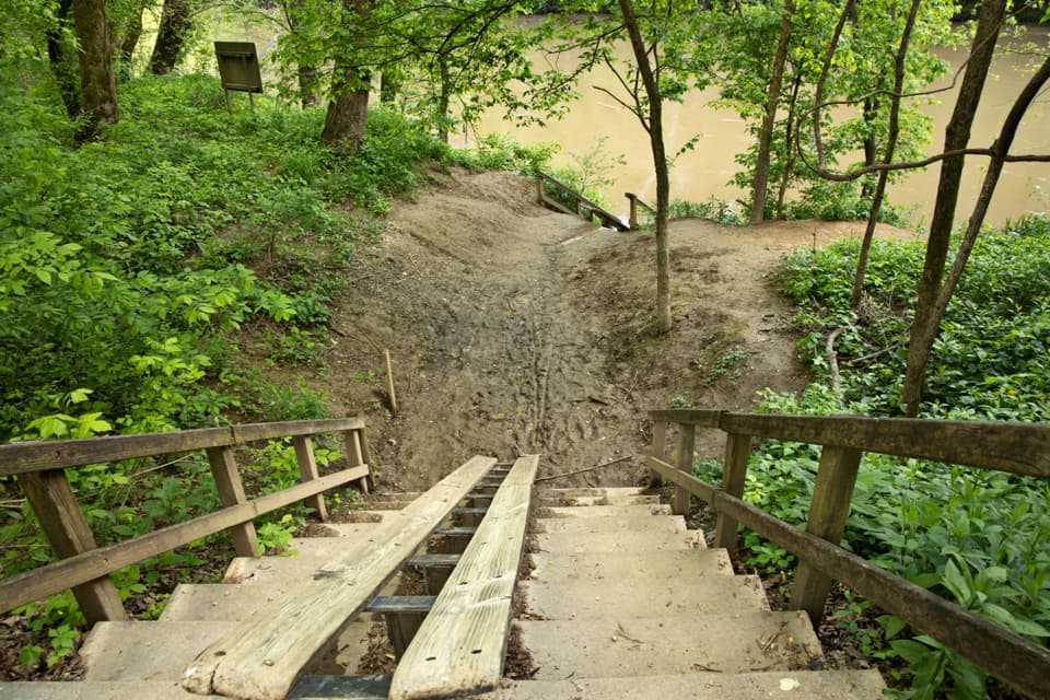
  • Carry‑down canoe/kayak launch via steps and a slide/chute—there’s no trailer ramp.
  • Non‑flush toilets (portable or vault/composting); no running water.
  • No trash cans—plan to pack out everything.
  • Unpaved gravel parking; small area that can fill on peak weekends.
  • Bank fishing is tough here due to high, muddy banks.

Scenery, Geology, and Wildlife

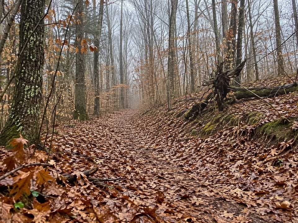
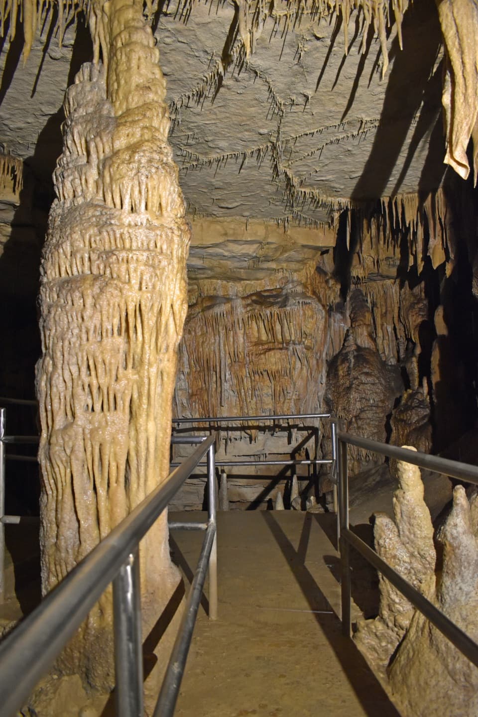
This is Green River country—the same water that helped sculpt Mammoth Cave’s passages. Along the paddle and from nearby bluff trails elsewhere in the park, you’ll see where underground streams meet the surface. Wildlife sightings are common: deer, turkey, turtles, and plenty of birds. Summer can bring aggressive horseflies; bring repellent.

Logistics & Shuttle Notes

At the put‑in, control your boat on the steep steps/slide. At the take‑out near the ferry, land well clear of ferry operations and be ready for a stout carry uphill to staging. Local outfitters operate shuttles and can assist with carries when you book with them.

Safety & Water Levels

Trip time varies with flow: around 3.5–4 hours at moderate levels; much faster when the river runs high (when many outfitters won’t operate). Check the USGS Green River gage the morning of your trip. Many paddlers prefer around 12 feet for a friendly current; above ~20 feet brings swift water and fewer services. Wear a PFD, watch for strainers, and use sturdy footwear for the steep carries.

Best Time to Visit

Start early to snag parking, beat summer heat, and enjoy quieter water. Weekdays and non‑holiday weekends are typically mellow; peak weekends see more shuttle traffic. For photography and bird activity, morning light is best along this wooded bend of the river.

Pros

  • Secluded Green River put-in for an easy 7.7‑mile paddle
  • Picnic tables and fire ring in a quiet riverside setting
  • No fee for day use

Cons

  • Rough 1.6‑mile gravel access road with limited parking
  • Steep, carry‑down launch and no potable water or trash cans

Tips

  • Bring all the water you need and pack out your trash—there are no cans or taps.
  • The access road is narrow gravel; drive slowly and watch for shuttle vans.
  • Check the USGS Green River gage; around 12 ft is a relaxed family float.
  • Use the launch chute to slide boats down and control the stern on the steps.
  • At the take‑out near the ferry, land well clear of ferry traffic and be ready for a steep carry.
The Parkwolf tour guide sitting on a phone mounted in a car

Parkwolf Tour Guide

Like a tour guide in your car.

Save the places you found around Mammoth Cave, then let Parkwolf guide the drive between them.Download Parkwolf on the App Store