Park Point in Mesa Verde National Park

#7 of 35 sights in Mesa Verde

Sight · Mesa Verde National Park

Park Point

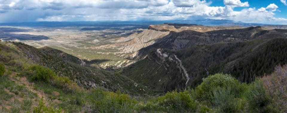
A brief, steep climb opens a Four Corners panorama.

Photo: National Park Service
Type
Sight
Nearest trail
Right here
Audio stories
8 nearby
  • Scenic viewpoint
  • Parking
  • Trailhead
  • Exhibit

Hear the audio tour

Park Point

Overview

About Park Point

Why stop

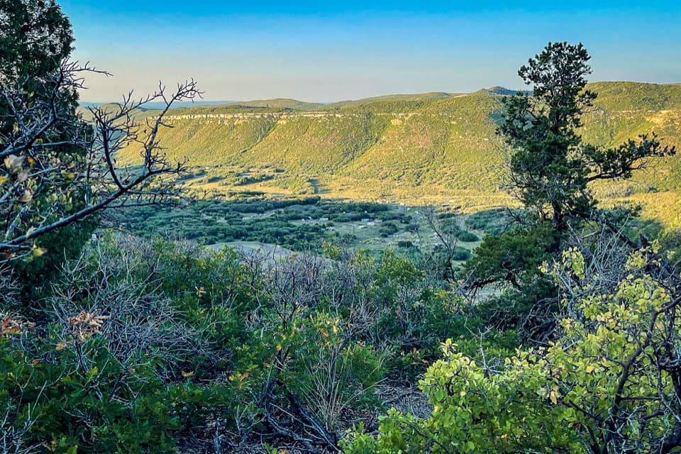
  • Two overlooks open onto different mountain ranges, valleys and canyon country.

Heads up

  • The brief paved climb is steep at 8,572 feet.

Map

Where it is

Loading the Mesa Verde map
Full map
SightPark Point37.27963, -108.46167
Keep this map with you offline in the Parkwolf app

Plan your stop

Before you go

2 active Mesa Verde alerts

  • ClosureRoad improvements close Far View and Cedar Tree Tower access roadsAccess roads to Far View Sites and Cedar Tree Tower are temporarily closed to all traffic for road improvements.Official details
  • CautionKnife Edge Trail rockfall area: do not enterDo not enter the rockfall area along the last quarter of Knife Edge Trail because a serious rockfall occurred there. - The trailhead is at Morefield Campground. - Knife Edge Trail is 2 miles (3.Official details

Mesa Verde alerts
A park ranger sits on a dash-mounted phone, talking, as Parkwolf’s Tour Guide plays “Army Cutworm Moths: A Grizzly Bear Buffet” on Grand Loop Road below Dunraven Pass in Yellowstone
Parkwolf Tour GuideThe highest, rockiest slopes around here are a summer buffet for grizzly bears.

Mesa Verde Tour Guide

Your drive to Park Point, narrated.

Parkwolf is a GPS audio tour guide for Mesa Verde National Park. As you drive, it chimes in with what’s ahead: hidden gems, upcoming stops, history, geology, and wildlife, right through your car’s speakers.

Recorded for this place

Park Point
0:00 / 0:25
“Up ahead is Park Point, the park's highest viewpoint and a good stop for a wide view of the Four Corners country.”

Plays as you drive up to Park Point in the Parkwolf Mesa Verde Tour Guide.

More stories near here in the app

  • The Long Campaign for a Park
  • The Falcon’s Hunting Dive
  • The Jays That Plant Pines
  • Geologic Overlook
  • 43 audio storiesacross Mesa Verde’s roads, triggered by GPS as you drive
  • Wildlife heatmapsfor Black Bear, Mule Deer, Golden Eagle, and 13 more
  • Works offlinemaps, 22 trails, 48 places, and audio download before you lose signal
  • CarPlay readysimple controls built for the drive
★★★★★
“Fantastic app with many points of information… It’s great to just turn on while you’re driving and it gives you an audio tour of the national Park. We love it!!!!”
JMJamesApp Store review
Download Parkwolf on the App StoreGet Parkwolf on Google Play

4.7 from 8,600+ ratings

Guide

More about Park Point

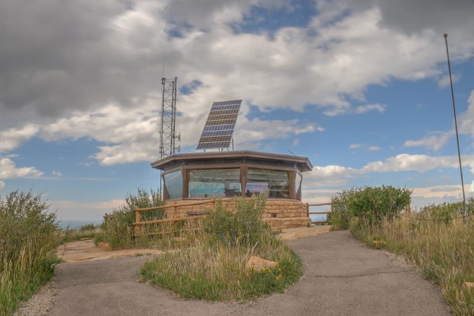
The park’s highest viewpointPark Point is Mesa Verde’s highest point, at 8,572 feet, with a historic fire lookout and a…

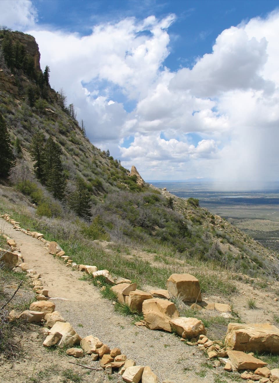
Park Point is Mesa Verde’s highest point, at 8,572 feet, with a historic fire lookout and a short paved path to two overlooks. The Four Corners panorama is the main reason to stop; this is a landscape viewpoint, with no cliff dwelling at the summit. The climb is short but steep, and the high elevation can make it feel harder than its length suggests.

From the road to the overlooksTurn onto Park Point Road near milepost 10 on the main park road.

Turn onto Park Point Road near milepost 10 on the main park road. From the lot, follow the paved path past the lookout to both the north and south viewpoints. Stay on the designated path because slopes off trail are subject to rockfalls. Picnic tables and a seasonal vault toilet are by the parking area. Park Point Road isn’t plowed in winter, so access can be limited.

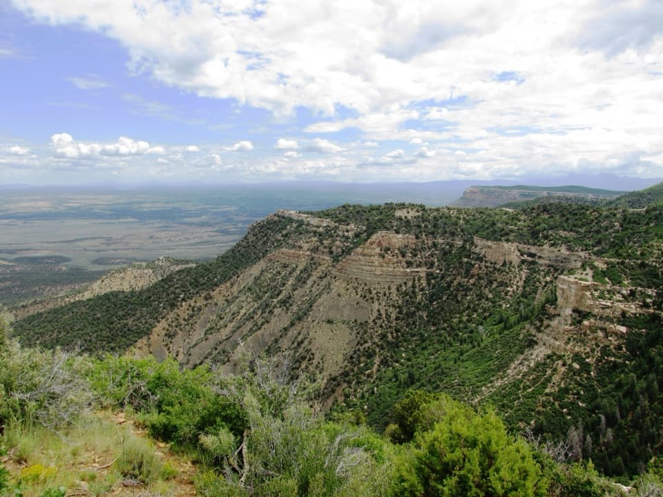
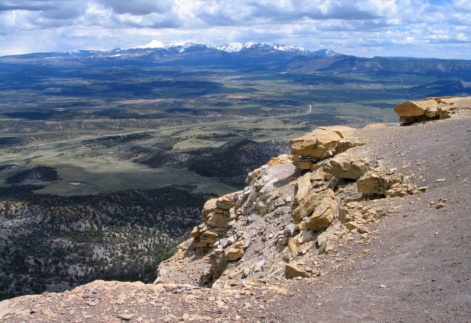
Take in both horizonsNorthward, Montezuma Valley opens toward the San Juan Mountains, whose peaks rise 13,000 to…

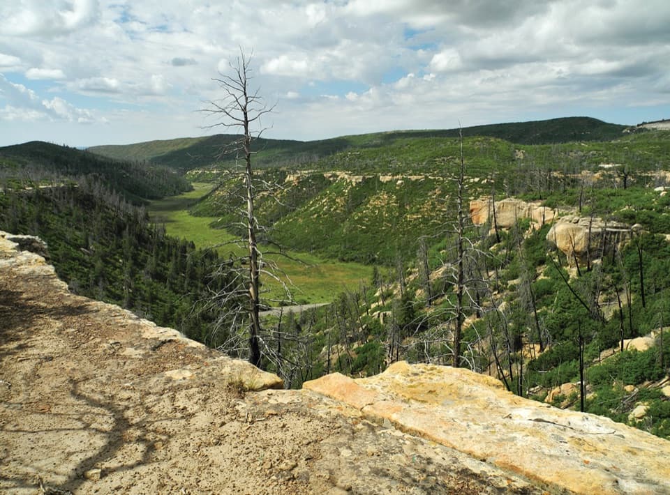
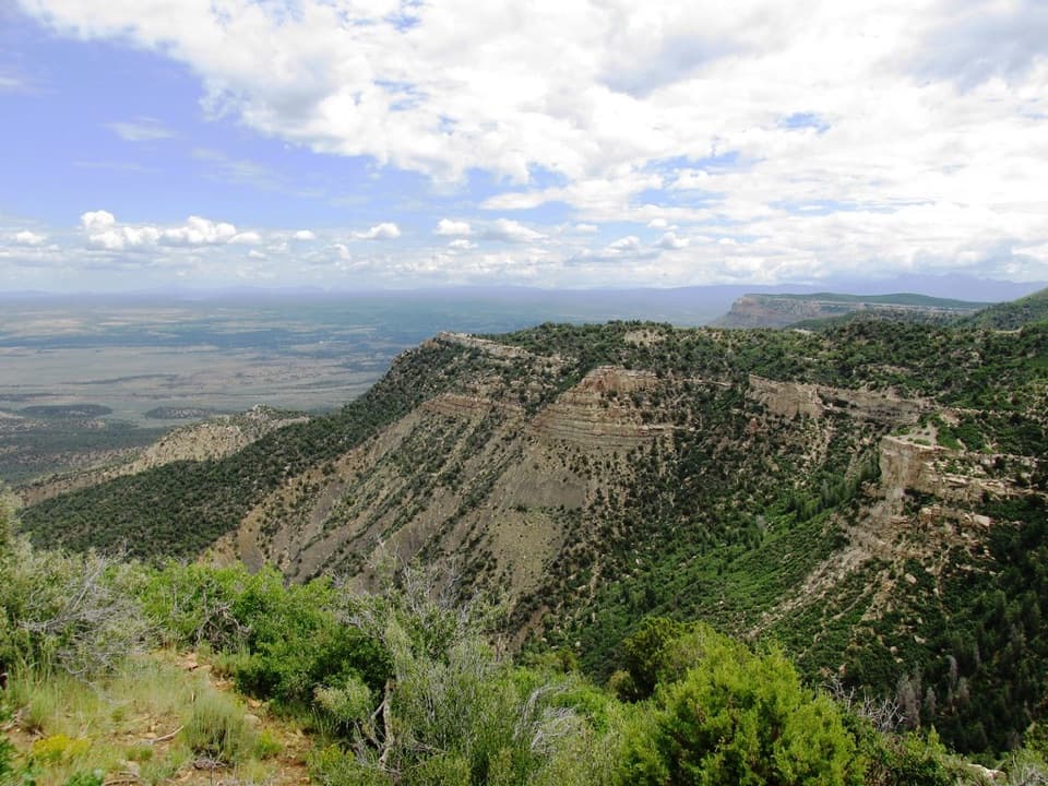
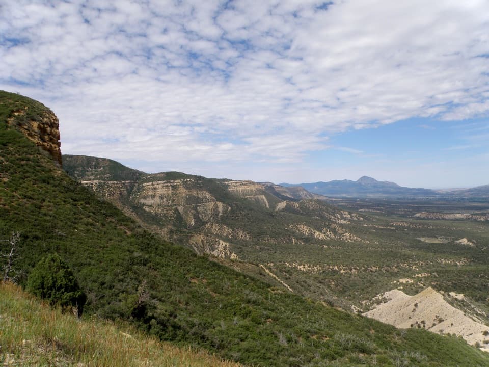
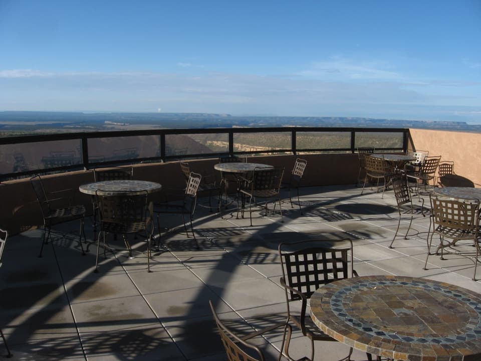
Northward, Montezuma Valley opens toward the San Juan Mountains, whose peaks rise 13,000 to 14,000 feet. Southward, the view reaches across rocky canyons and high-desert country toward New Mexico. Sleeping Ute Mountain sits to the west and the La Plata Mountains to the east. Walk to both overlooks for the full sweep, and try framing the sandstone lookout against the ridgelines to capture what makes this summit distinctive.

A working lookout built in 1939The Civilian Conservation Corps built the fire lookout in 1939 from sandstone quarried on…

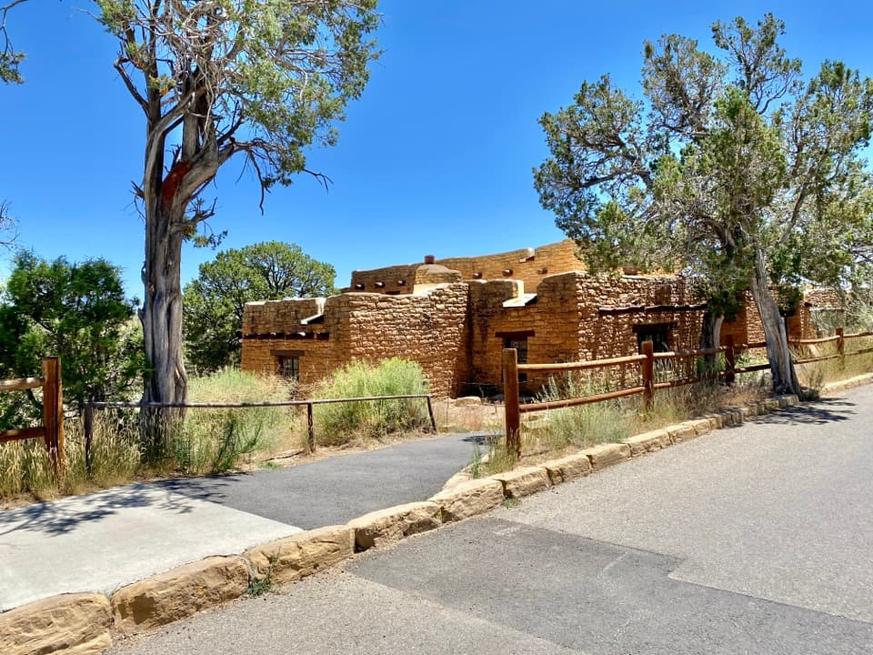
The Civilian Conservation Corps built the fire lookout in 1939 from sandstone quarried on Chapin Mesa. Its octagonal plan and hand-worked stone give it a rugged, fitted-in look among the park’s Pueblo Revival buildings. The tower still helps the park track lightning, weather and fire during fire season, so its job continues beyond the visitor view.

A closer look at the geologyThe Sleeping Ute and La Plata ranges are laccoliths: magma pushed up and domed older rock…

The Sleeping Ute and La Plata ranges are laccoliths: magma pushed up and domed older rock during mountain-building about 65 million years ago. Mesa Verde itself is a cuesta, a tilted upland that dips about seven degrees south. Erosion cut the canyons between smaller highlands, and from Park Point you can read that shape across the landscape.

Wildlife

Wildlife in Mesa Verde

All Mesa Verde wildlife maps

Sighting maps show where each species has been reported across Mesa Verde. Wildlife moves, so no sighting is guaranteed.

Keep exploring

Near Park Point

See it all on the map

Trails nearby

More stops nearby

Parkwolf’s Mesa Verde ranking

Top sights in Mesa Verde

All 48 places
  1. 1Cliff PalaceSight
  2. 2Balcony HouseSight
  3. 3Long HouseSight
  4. 4Spruce Tree House OverlookSight
  5. 5Square Tower House OverlookSight
  6. 6Mesa Verde MuseumSight

Take Parkwolf to Mesa Verde.

The audio tour guide for the drive, plus offline maps, trails, and wildlife heatmaps for when the signal drops.

4.7 from 8,600+ ratings

Download Parkwolf on the App StoreGet Parkwolf on Google Play