Wilkin Valley Track to Kerin Forks Hut in Mount Aspiring National Park

Mount Aspiring National Park, OT · WC

Wilkin Valley Track to Kerin Forks Hut

River flats and a remote hut, with two serious crossings.

Length
15km
Time
4.5hr
Elev. change
62m
Difficulty
Challenging
  • No dogs
  • High point 358 m

Hear the audio tour

A Cicada's Last Moult

Overview

About Wilkin Valley Track to Kerin Forks Hut

Why go

  • Open gravel flats beneath steep mountain walls.
  • Kerin Forks Hut gives the walk a clear overnight destination.

Heads up

  • Two serious, unbridged river crossings can become impassable after rain.
  • The rough lower forest track and one-way logistics make this a demanding outing.

Map & elevation

The route

Loading the Mount Aspiring map
Full map
Elevation297–358 m
TrailheadWilkin Road access (off SH6)-44.26456, 169.20360
Keep this map with you offline in the Parkwolf app

Plan your hike

Before you go

Parking

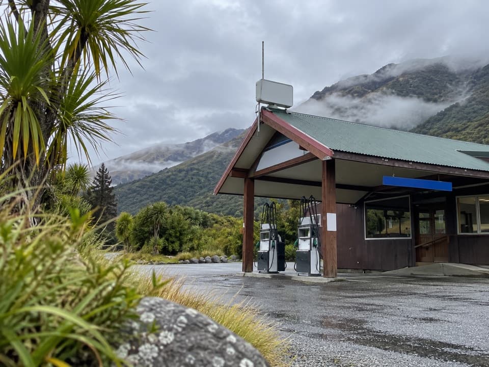
Use Wilkin Road off SH6 beside Makarora Country Café. No dedicated public trailhead lot is identified; confirm where you may leave a vehicle and check walking access arrangements before starting. Arrange return transport from Kerin Forks ahead of time.

Safety

The Makarora and Wilkin crossings are unbridged and require river-crossing experience; both may be impassable after rain, so wait if levels are too high. The road-side approach crosses pastoral lease; stay on the walking route and confirm any access restrictions before leaving it.

1 active Mount Aspiring alert

  • CautionRob Roy Track: stop at lower lookout during avalanche seasonFrom May through November, end your Rob Roy Track hike at the lower lookout; DOC strongly recommends against continuing to the upper lookout because the track crosses active avalanche paths.Official details
Mount Aspiring alerts
A park ranger sits on a dash-mounted phone, talking, as Parkwolf’s Tour Guide plays “Army Cutworm Moths: A Grizzly Bear Buffet” on Grand Loop Road below Dunraven Pass in Yellowstone
Parkwolf Tour GuideThe highest, rockiest slopes around here are a summer buffet for grizzly bears.

Mount Aspiring Tour Guide

Your drive to Wilkin Valley Track to Kerin Forks Hut, narrated.

Parkwolf is a GPS audio tour guide for Mount Aspiring National Park. As you drive, it chimes in with what’s ahead: hidden gems, upcoming stops, history, geology, and wildlife, right through your car’s speakers.

See the Mount Aspiring audio tour

Recorded for this area

A Cicada's Last Moult
0:00 / 0:24
“If you find a hollow insect skin clinging to a tree trunk, you may be looking at a cicada's last moult. Before it could fly, that cicada spent years underground as a nymph, feeding on sap from plant roots.”

Plays on the road 2.7 km from the trailhead in the Parkwolf Mount Aspiring Tour Guide.

More stories near here in the app

  • Makarora: Lunch and a Forest Loop
  • A Road Finished in Stages
  • Young Valley and Gillespie Pass
  • 80 audio storiesacross Mount Aspiring’s roads, triggered by GPS as you drive
  • Wildlife heatmapsfor Kea, Rockwren, Yellowhead, and 8 more
  • Works offlinemaps, 50 trails, 52 places, and audio download before you lose signal
  • CarPlay readysimple controls built for the drive
★★★★★
“Fantastic app with many points of information… It’s great to just turn on while you’re driving and it gives you an audio tour of the national Park. We love it!!!!”
JMJamesApp Store review
Download Parkwolf on the App StoreGet Parkwolf on Google Play

4.7 from 8,600+ ratings

Trail guide

Hiking Wilkin Valley Track to Kerin Forks Hut

The lower Wilkin routeWilkin Valley Track to Kerin Forks Hut is a 15 km, one-way point-to-point walk from Wilkin…

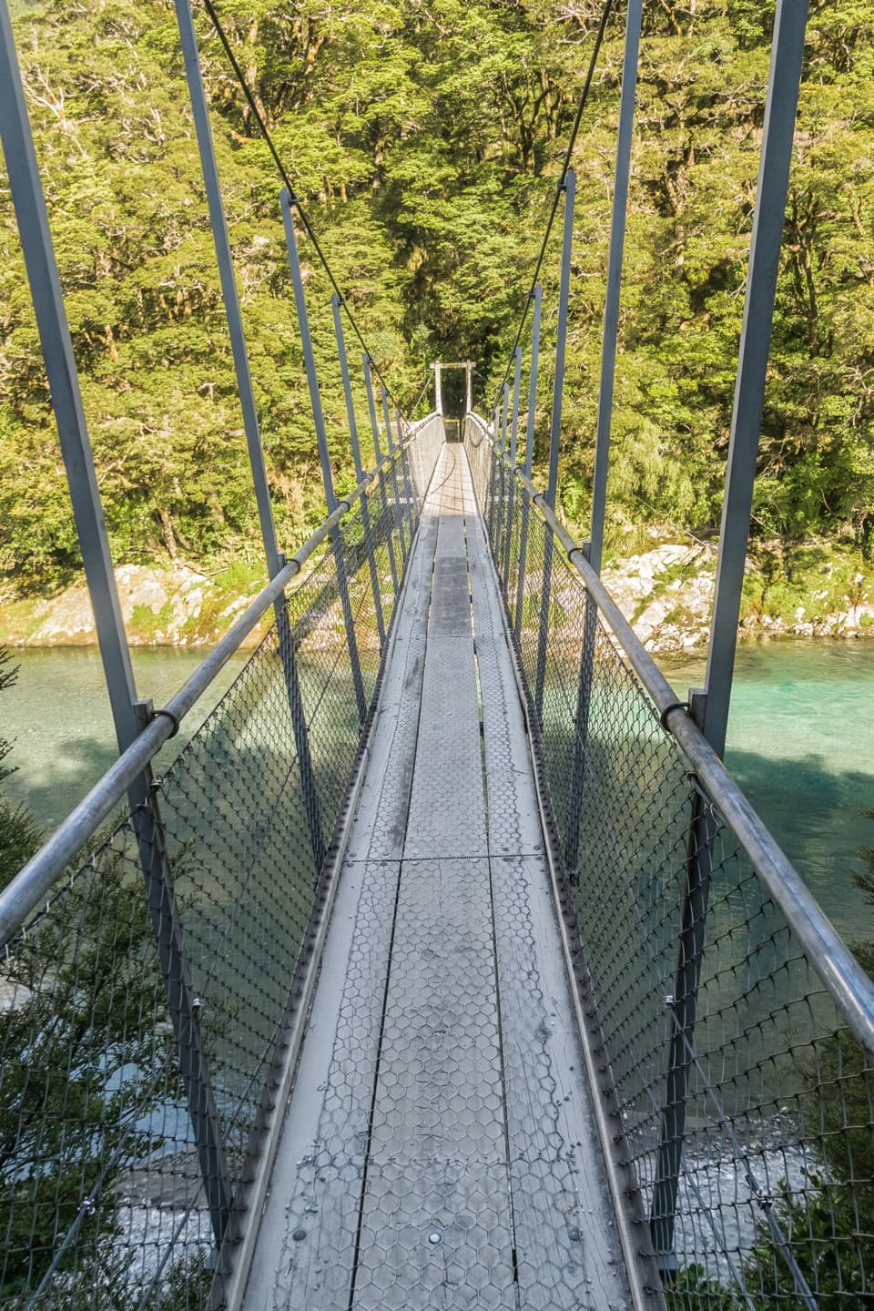
Wilkin Valley Track to Kerin Forks Hut is a 15 km, one-way point-to-point walk from Wilkin Road, with 4–5 hours listed for the journey. It drops to the Makarora River, then follows the true left of the Wilkin through rough, undulating forest before opening at Dans Flat and the broad river flats. Kerin Forks Hut sits across the Wilkin near the Siberia Stream confluence. This entry covers the lower road-to-hut leg; the route onward to Top Forks is a separate section. The track is graded advanced. Distance, rough footing and two serious river crossings make it a full backcountry commitment, so plan your overnight or return transport before leaving the road.

Crossings and accessYou must cross the Makarora near the start, watching for soft sand, then choose a suitable…

You must cross the Makarora near the start, watching for soft sand, then choose a suitable point to cross the Wilkin to reach the hut. Neither crossing is bridged. Both rivers can be too high to cross, especially after rain; only parties experienced in river-crossing should attempt them, and waiting may be necessary. Do not treat the listed walking time as a safe window for pushing through high water. The road-side approach crosses pastoral lease. Keep to the walking route rather than treating the surrounding farm as open access, and confirm any access restrictions and vehicle parking with Mt Albert Station before setting out.

Forest and river flatsThe lower valley track undulates through forest and is rough in places.

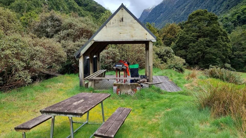
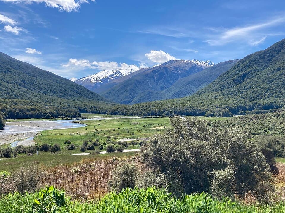
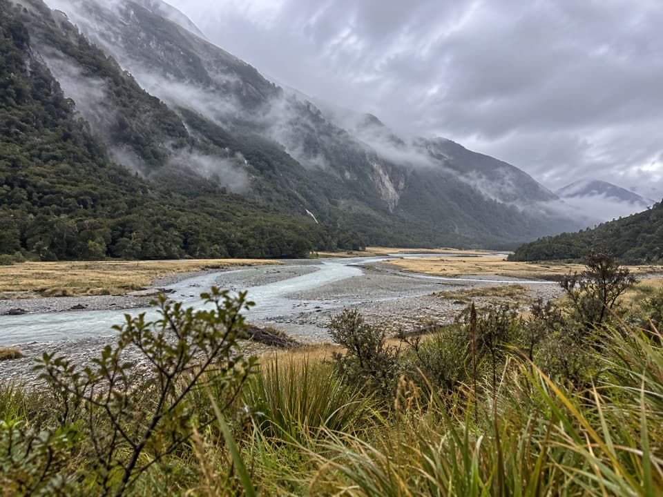
The lower valley track undulates through forest and is rough in places. After Dans Flat, the walk continues across open river flats, with braided gravel channels below steep forested slopes. The changing feel of the valley is the payoff: shaded, uneven footing gives way to a broad open landscape. Keep the planned line on the true left of the Wilkin until the final crossing to the hut.

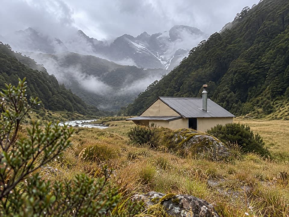
Kerin Forks HutThe serviced hut has 10 bunks, heating, mattresses, toilets and tap water that is not treated.

The serviced hut has 10 bunks, heating, mattresses, toilets and tap water that is not treated. Book a bed ahead and bring your sleeping bag, stove and fuel, cookware, toilet paper and rubbish bag. Jetboat transport operates in the Kerin Forks area, but it must be arranged before the trip. Dogs are not allowed.

The Makarora ValleyMāori from coastal Otago and Southland travelled to inland lakes to hunt moa, kākāpō and weka…

Māori from coastal Otago and Southland travelled to inland lakes to hunt moa, kākāpō and weka and fish, camping in the Makarora Valley. The name Kaika Paekai means “place of abundant food.” Ice-age glaciers shaped the steep valley walls; the rocks of Kā Tiritiri o te Moana began as sand and mud on the seafloor more than 220 million years ago.

Wildlife

Wildlife in Mount Aspiring

All Mount Aspiring wildlife maps

Sighting maps show where each species has been reported across Mount Aspiring. Wildlife moves, so no sighting is guaranteed.

Keep exploring

Near Wilkin Valley Track to Kerin Forks Hut

See it all on the map

Trails that start nearby

Places near the trailhead

Parkwolf’s Mount Aspiring ranking

Top-rated trails in Mount Aspiring

All 50 trails
  1. 1Routeburn TrackChallenging · 33.1 km
  2. 2Rob Roy TrackModerate · 10 km
  3. 3Gillespie Pass CircuitChallenging · 56 km
  4. 4Rees-Dart TrackChallenging · 63 km
  5. 5Brewster TrackChallenging · 5.6 km
  6. 6Blue Pools TrackEasy · 3.2 km

Take Parkwolf to Mount Aspiring.

The audio tour guide for the drive, plus offline maps, trails, and wildlife heatmaps for when the signal drops.

4.7 from 8,600+ ratings

Download Parkwolf on the App StoreGet Parkwolf on Google Play