Parking
Use the Makarora carpark on SH6, just north of Wonderland Lodge. It also serves the Makarora Nature Walk; follow that path to the signed Mount Shrimpton branch.

Mount Aspiring National Park, OT · WC
A steep forest climb to the McKerrow Range bushline.
Overview
Map & elevation
Plan your hike

The highest, rockiest slopes around here are a summer buffet for grizzly bears.
Mount Aspiring Tour Guide
Parkwolf is a GPS audio tour guide for Mount Aspiring National Park. As you drive, it chimes in with what’s ahead: hidden gems, upcoming stops, history, geology, and wildlife, right through your car’s speakers.
See the Mount Aspiring audio tourRecorded for this trailhead
Makarora: Lunch and a Forest Loop“You're nearing Makarora village, a useful place to combine a food stop with a short walk. Wonderland Lodge's café serves pies, sandwiches and salads, so there's an option for lunch beyond eating in the car.”
Plays as you drive up to this trailhead in the Parkwolf Mount Aspiring Tour Guide.
More stories near here in the app
“Fantastic app with many points of information… It’s great to just turn on while you’re driving and it gives you an audio tour of the national Park. We love it!!!!”


Trail guide
Mount Shrimpton Track is a 6 km return, out-and-back from the Makarora carpark, climbing through beech and podocarp forest to the bushline of the McKerrow Range. Allow about five hours. The mapped climb gains roughly 800 m in 3.3 km one way, so the distance undersells the effort. Go for a demanding forest ascent and the change from deep bush to open uplands, not a quick scenic stroll.
Start on the Makarora Nature Walk from the shared carpark. It passes through silver beech and podocarp forest before a sign marks the Mount Shrimpton branch. From there the route climbs steeply to the bush edge. Expect uneven ground, roots and rock; the final forest edge has a large rock step. Keep to the marked route and save energy for the steep return descent.
The 6 km outing ends at the bush edge. Beyond it, an optional ridgeline ramble opens toward the Makarora Valley and the Southern Alps, but that off-track travel is outside the maintained route and its time and distance. Tarns and the 2,002 m Mount Shrimpton summit are separate, more demanding extensions; don't mistake them for the standard track.
The lower climb passes silver beech and podocarps including matai, miro, kahikatea and rimu. Watch for kārearea (New Zealand falcon), kererū and kea, which use the forest and uplands; sightings are never guaranteed. At the upper edge, the forest gives way to the open McKerrow Range.
This is an Advanced tramping track with a sustained, steep climb. Mountain weather can change quickly; hypothermia is a risk even in summer, and snow or low cloud can bring whiteout conditions. Avalanche paths may cross the track, usually from May into November, so check current mountain and avalanche advice before setting out. Dogs are not allowed. Bring food, water and warm waterproof layers; no visitor facilities were identified at the carpark.
Wildlife
 60 sightingsKeaMost seen around 5 PMSighting map
 112 sightingsRockwrenMost seen around 8 AMSighting map
 26 sightingsYellowheadMost seen around 8 AMSighting map
 13 sightingsTūīMost seen around 7 AMSighting map
 27 sightingsBellbirdMost seen around 7 AMSighting map
 35 sightingsRiflemanMost seen around 8 AMSighting map
Sighting maps show where each species has been reported across Mount Aspiring. Wildlife moves, so no sighting is guaranteed.
Keep exploring
 EasyMakarora Bush Walk0.7 km · 15 min · At the trailheadA quick forest loop with a glimpse of old timber milling.
 ChallengingGillespie Pass Circuit56 km · 22 hr · 3.2 km awayA wild alpine pass links the Young, Siberia and Wilkin valleys.
 ChallengingYoung River Track to Young Hut32.5 km · 13 hr · 4.5 km awayA remote hut trek with a dangerous river crossing and unstable slips
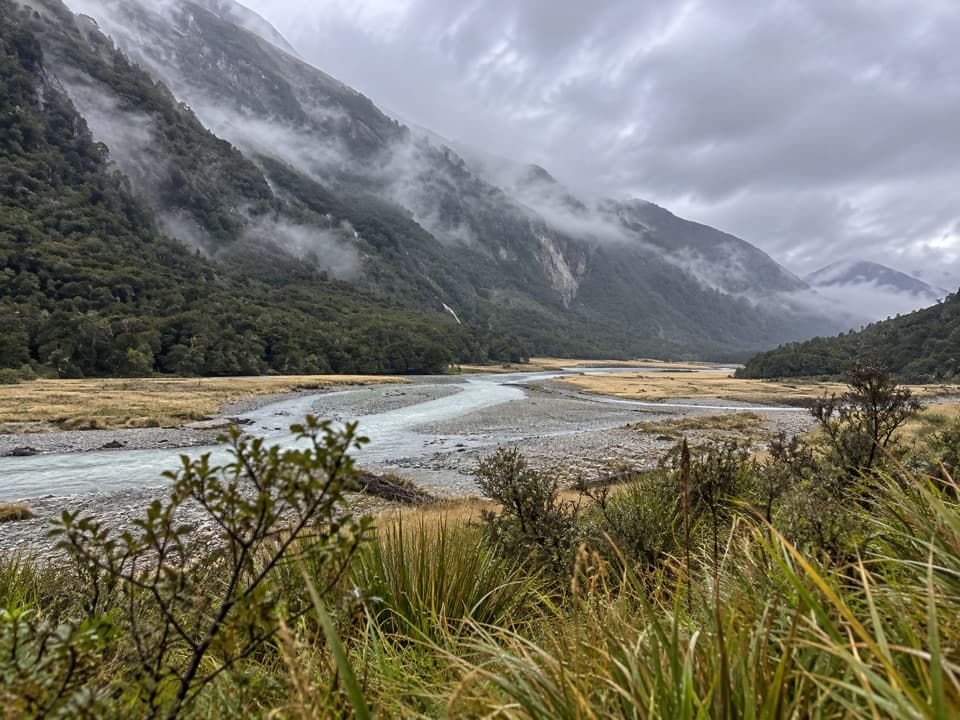 ChallengingWilkin Valley Track to Kerin Forks Hut15 km · 4.5 hr · 4.6 km awayRiver flats and a remote hut, with two serious crossings.
 EasyBlue Pools Track3.2 km · 1.5 hr · 8.7 km awayTwo swingbridges make this easy walk feel like an adventure.
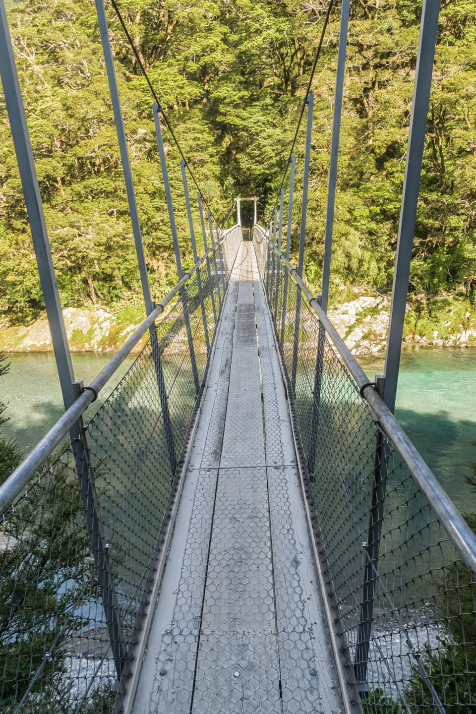 ModerateYoung River Link Track14 km · 3.5 hr · 8.7 km awayA longer Blue Pools walk to the Young River mouth.
 ChallengingBlue Valley Track to Camp Flat5 km · 5 hr · 8.7 km awaySteep beech forest opens at a grassy camp beside the Blue River.
 ChallengingCameron Track to Cameron Hut14 km · 11 hr · 9.8 km awaySteep gorge bluffs lead to a remote four-bunk hut.
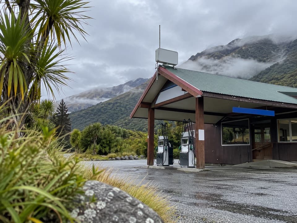 Gas station · 0.4 km awayMakarora Allied Fuel StopA handy top-up, but keep a backup fuel plan.
 Food · 4.7 km awayMakarora Country Cafe and CampA welcome coffee and meal stop on a long, sparsely serviced drive.
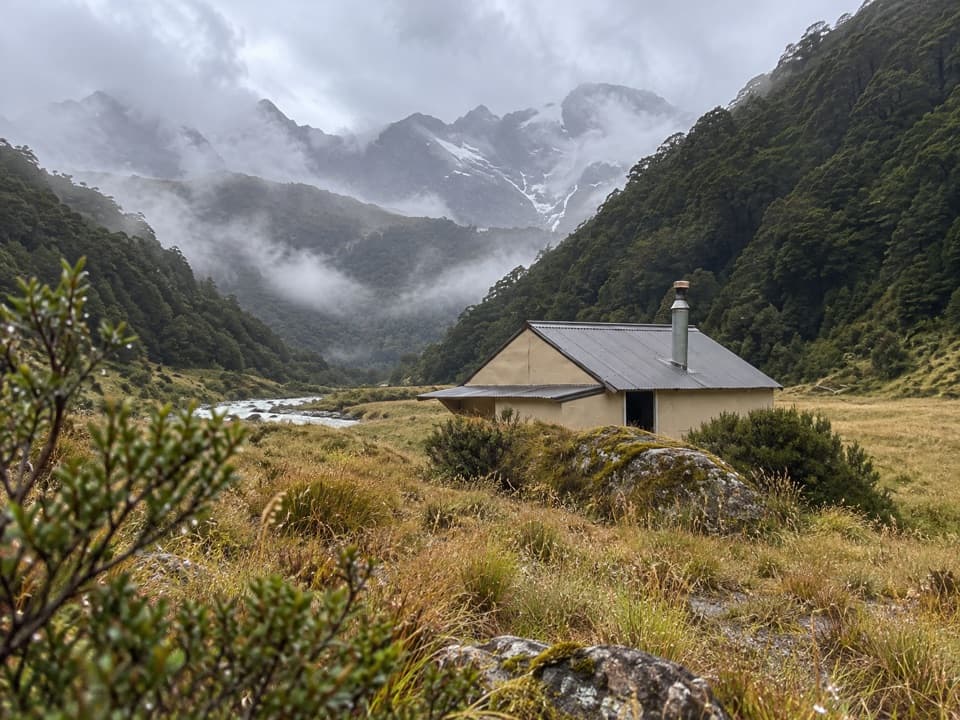 Lodging · 7.4 km awayCameron HutA four-bunk hut beyond a steep gorge and unbridged river.
 Sight · 8 km awayBlue PoolsTwo swing bridges lead to blue water, when the weather cooperates.
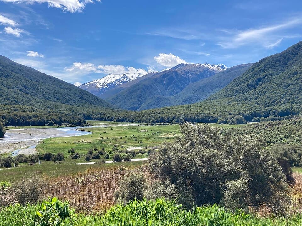 Campground · 8.6 km awayCameron Flat CampsiteA simple campsite opposite the Blue Pools track.
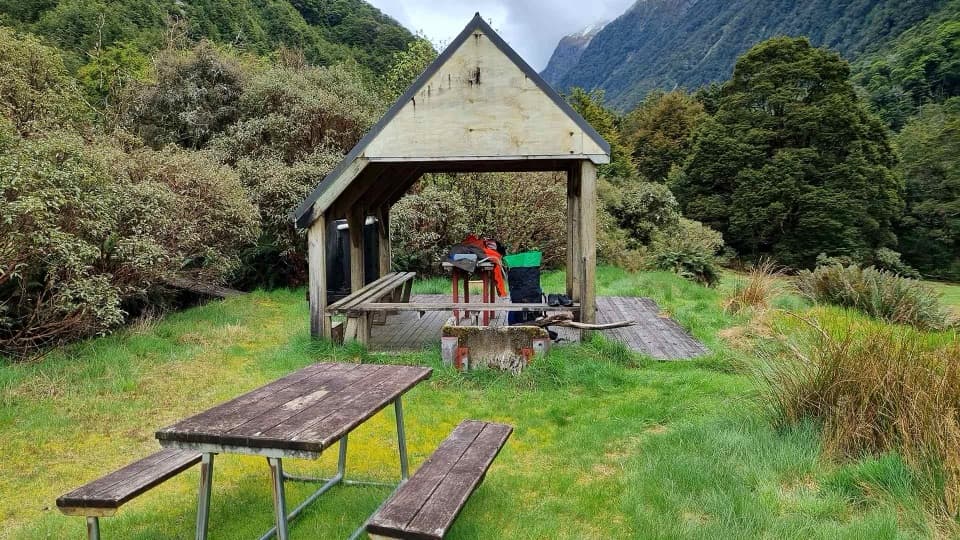 Campground · 9.6 km awayYoung Forks CampsiteA remote overnight stop for the demanding Gillespie Pass Circuit
 Sight · 9.8 km awayCameron LookoutA short beech-forest climb to a platform above Cameron Creek.
 Lodging · 12.9 km awayYoung HutA 20-bunk overnight stop after a long, challenging approach.
Parkwolf’s Mount Aspiring ranking

The audio tour guide for the drive, plus offline maps, trails, and wildlife heatmaps for when the signal drops.



