Parking
Siberia Hut has no road-accessible car park. The park map marks an airstrip; arrange plane or helicopter access in advance, or reach the hut by a longer tramp.

#9 of 50 trails in Mount Aspiring
Mount Aspiring National Park, OT · WC
An alpine lake under Mount Alba, reached after a serious valley climb.
Overview
Map & elevation
Plan your hike

The highest, rockiest slopes around here are a summer buffet for grizzly bears.
Mount Aspiring Tour Guide
Parkwolf is a GPS audio tour guide for Mount Aspiring National Park. As you drive, it chimes in with what’s ahead: hidden gems, upcoming stops, history, geology, and wildlife, right through your car’s speakers.
See the Mount Aspiring audio tour“Fantastic app with many points of information… It’s great to just turn on while you’re driving and it gives you an audio tour of the national Park. We love it!!!!”


Trail guide
Crucible Lake Track is the out-and-back side trip from Siberia Hut to an alpine lake high beneath Mount Alba. The hut-to-lake leg is listed as 7 km and 3–4 hours; allow about 14 km (8.7 miles) and 6–8 hours round trip, before long stops. This is a serious backcountry day, not a quick lakeside walk. It is worth the effort for a route that changes from broad valley flats to forest, a snow-grass basin and, at the end, a rock-framed lake. If you are starting in Makarora, reaching Siberia Hut is a separate, much longer journey; do not count this distance from the road.
From Siberia Hut, follow the open valley for about 2 km and cross Gillespie and Siberia Streams to their true right. The first stretch looks gentler than the climb ahead, but the streams can set the whole day’s plan: after rain, Gillespie, Siberia and Crucible Streams can become impassable. Check water conditions before leaving the hut, carry time for a wait, and turn back if a crossing is not safe. The route enters forest on the true left of Crucible Stream, climbs a narrow spur, then sidles across the slope to the next crossing. This is where the valley floor gives way to a sustained climb.
After crossing Crucible Stream, the track emerges onto a snow-grass flat on the true right. Follow the poles up the upper basin, then climb the rock moraine to the lake. The open ground and the final rocky slope take longer than they look from below. Snow grass is slippery when wet, and the loose stone needs careful footing on both the climb and descent. Keep the markers in sight, stay on the established line through the fragile alpine vegetation, and carry a map or navigation device for this remote route.
The lake sits high above Siberia Valley under Mount Alba. Turquoise water, dark rock walls and snow make the outlet the payoff for the long approach; floating ice may be present, but it is never guaranteed. Look among the large rocks at the outlet for pīwauwau, or rock wren, a small native bird often seen there. Give yourself time to enjoy the basin, then remember that the return retraces every stream crossing and the moraine descent.
Wildlife
 60 sightingsKeaMost seen around 5 PMSighting map
 112 sightingsRockwrenMost seen around 8 AMSighting map
 26 sightingsYellowheadMost seen around 8 AMSighting map
 13 sightingsTūīMost seen around 7 AMSighting map
 27 sightingsBellbirdMost seen around 7 AMSighting map
 35 sightingsRiflemanMost seen around 8 AMSighting map
Sighting maps show where each species has been reported across Mount Aspiring. Wildlife moves, so no sighting is guaranteed.
Keep exploring
 ModerateSiberia Valley Track7 km · 2.5 hr · At the trailheadFollow open valley flats through beech forest to the Wilkin.
 ChallengingWilkin Valley Track: Kerin Forks Hut to Top Forks Hut15 km · 8 hr · 4.4 km awayA 15 km hut tramp ends with a river-level route choice.
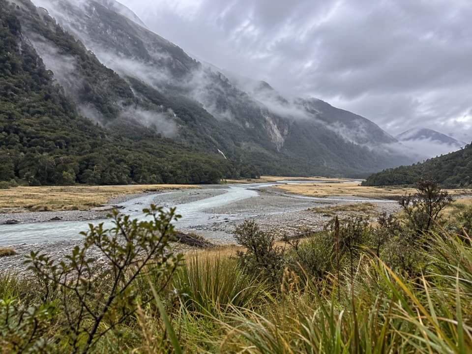 ChallengingWilkin Valley Track to Kerin Forks Hut15 km · 4.5 hr · 13.1 km awayRiver flats and a remote hut, with two serious crossings.
 EasyMakarora Bush Walk0.7 km · 15 min · 13.9 km awayA quick forest loop with a glimpse of old timber milling.
 ChallengingMount Shrimpton Track6 km · 5 hr · 13.9 km awayA steep forest climb to the McKerrow Range bushline.
 ChallengingGillespie Pass Circuit56 km · 22 hr · 13.9 km awayA wild alpine pass links the Young, Siberia and Wilkin valleys.
 ChallengingYoung River Track to Young Hut32.5 km · 13 hr · 15 km awayA remote hut trek with a dangerous river crossing and unstable slips
 ChallengingNorth Branch Wilkin Track to Lakes Diana and Lucidus7 km · 4 hr · 15.7 km awayBoulder hopping leads through alpine grassland to a moraine lake
 Lodging · At the trailheadSiberia HutA heated 20-bunk stop deep in Siberia Valley
 Lodging · 4 km awayYoung HutA 20-bunk overnight stop after a long, challenging approach.
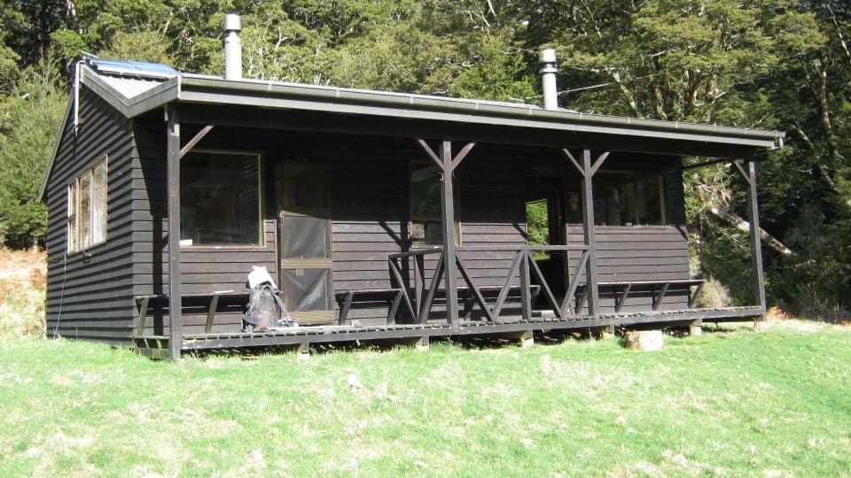 Lodging · 4.3 km awayKerin Forks HutA 10-bunk riverside stop for experienced Wilkin Valley trampers.Sight · 5.7 km awayCrucible LakeA serious climb to a lake that can hold ice into summer.
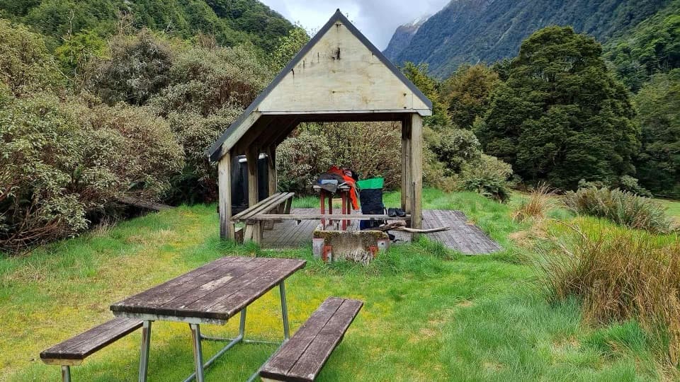 Campground · 7.5 km awayYoung Forks CampsiteA remote overnight stop for the demanding Gillespie Pass Circuit
 Food · 13.1 km awayMakarora Country Cafe and CampA welcome coffee and meal stop on a long, sparsely serviced drive.
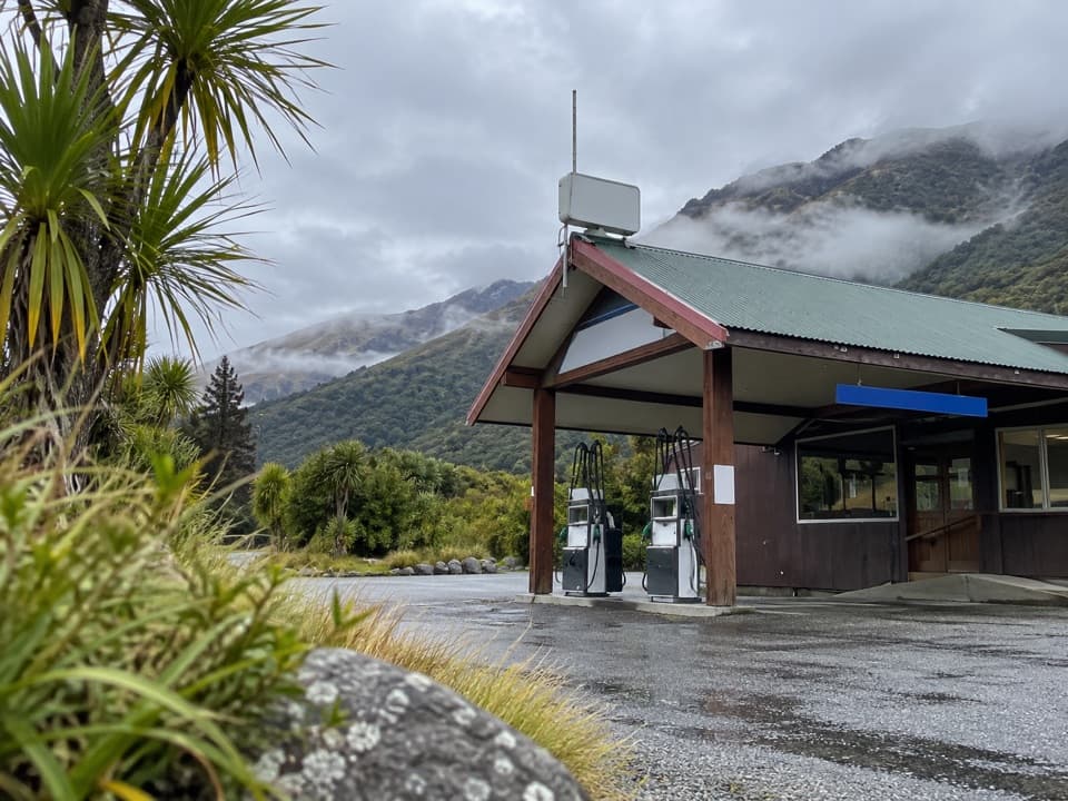 Gas station · 13.9 km awayMakarora Allied Fuel StopA handy top-up, but keep a backup fuel plan.
 Lodging · 15.6 km awayTop Forks HutA remote base for upper Wilkin lakes and alpine routes.
Parkwolf’s Mount Aspiring ranking

The audio tour guide for the drive, plus offline maps, trails, and wildlife heatmaps for when the signal drops.




