Sunrise Point Overlook in Mount Rainier National Park

#6 of 61 sights in Mount Rainier

Sight · Mount Rainier National Park

Sunrise Point Overlook

A broad Cascade panorama from the bend of a lava ridge.

Photo: Wikimedia Commons
Type
Sight
Nearest trail
Right here
Audio stories
10 nearby
  • Pullout
  • Parking
  • Scenic viewpoint
  • Exhibit

Hear the audio tour

Sunrise Point: The Roadside Panorama

Overview

About Sunrise Point Overlook

Why stop

  • Wide mountain views from the road, with two trails starting at the bend.

Heads up

  • Cloud can hide the peaks, and the vehicle season on Sunrise Road is short.

Map

Where it is

Loading the Mount Rainier map
Full map
SightSunrise Point Overlook46.91748, -121.58817
Keep this map with you offline in the Parkwolf app

Plan your stop

Before you go

7 active Mount Rainier alerts

  • ClosureWildfire closures in the northern parkGrand Park 2 and Wonderland Complex fire closures affect trails, backcountry camps, and Sunrise access; stay out of closed areas.Official details
  • ClosureSR 165 bridge closed: no public access to Carbon River or Mowich LakeThe SR 165 Carbon River/Fairfax Bridge is closed to vehicles, bicycles, and pedestrians; there is no public access or alternate route to Carbon River or Mowich Lake.Official details

See all 7 alerts
A park ranger sits on a dash-mounted phone, talking, as Parkwolf’s Tour Guide plays “Army Cutworm Moths: A Grizzly Bear Buffet” on Grand Loop Road below Dunraven Pass in Yellowstone
Parkwolf Tour GuideThe highest, rockiest slopes around here are a summer buffet for grizzly bears.

Mount Rainier Tour Guide

Your drive to Sunrise Point Overlook, narrated.

Parkwolf is a GPS audio tour guide for Mount Rainier National Park. As you drive, it chimes in with what’s ahead: hidden gems, upcoming stops, history, geology, and wildlife, right through your car’s speakers.

See the Mount Rainier audio tour

Recorded for this place

Sunrise Point: The Roadside Panorama
0:00 / 0:29
“You're approaching Sunrise Point, the overlook at a sharp hairpin in the road.”

Plays as you drive up to Sunrise Point Overlook in the Parkwolf Mount Rainier Tour Guide.

More stories near here in the app

  • The Bird That Plants Pines
  • A Mountain Goat's Grip
  • Sunrise Road: Sideways Lava Columns
  • Beargrass Has No Seven-Year Clock
  • 77 audio storiesacross Mount Rainier’s roads, triggered by GPS as you drive
  • Wildlife heatmapsfor Mountain Goat, Black Bear, Wolverine, and 13 more
  • Works offlinemaps, 99 trails, 87 places, and audio download before you lose signal
  • CarPlay readysimple controls built for the drive
★★★★★
“Fantastic app with many points of information… It’s great to just turn on while you’re driving and it gives you an audio tour of the national Park. We love it!!!!”
JMJamesApp Store review
Download Parkwolf on the App StoreGet Parkwolf on Google Play

4.7 from 8,600+ ratings

Guide

More about Sunrise Point Overlook

A roadside panorama on the ridgeSunrise Point Overlook is a pullout on a sharp hairpin of Sunrise Road, 6,120 feet above sea…

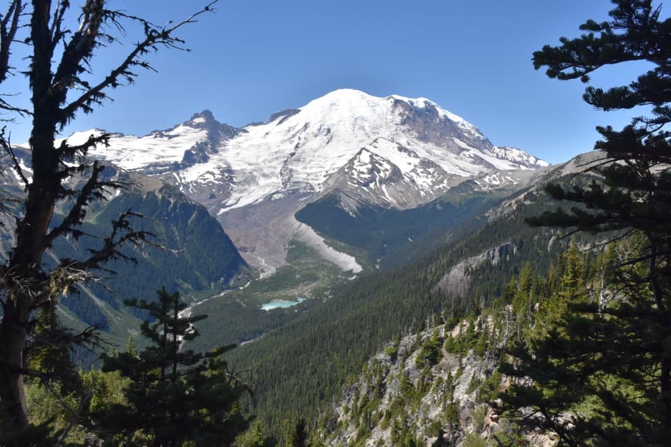
Sunrise Point Overlook is a pullout on a sharp hairpin of Sunrise Road, 6,120 feet above sea level and 7.4 miles up from the White River Campground junction. The road bends around the end of a lava ridge here, opening a nearly 360-degree mountain view. If the peaks are clear, give this stop more than a quick photo; it is one of the easiest places on the Sunrise drive to take in several ranges at once.

Take in the whole bendMount Rainier rises above the surrounding ridges, with Mount Adams to the south and Mount Baker…

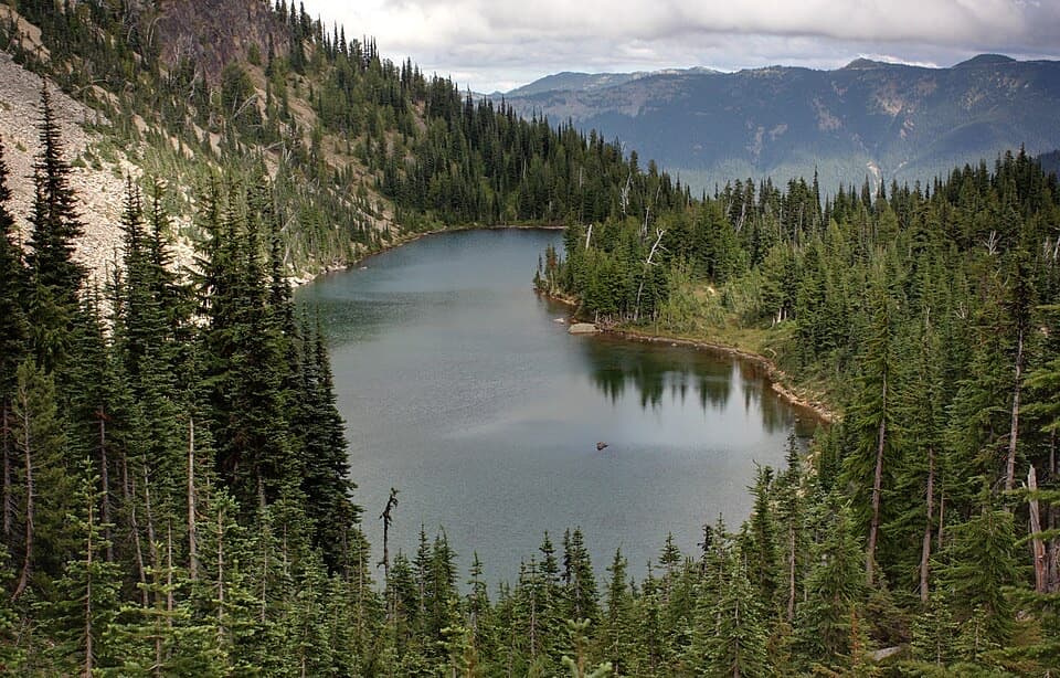
Mount Rainier rises above the surrounding ridges, with Mount Adams to the south and Mount Baker to the north on clear days. Sunrise Lake sits below to the north, and the Cascades spread east. The rock walls around the curve have jagged edges that roughly echo Rainier’s summit. For a photo, include some of that ridge wall with the mountain so the view has a foreground as well as a skyline.

A ridge shaped by fire and iceThe ridge beneath Sunrise is part of a lava flow about 496,000 years old.

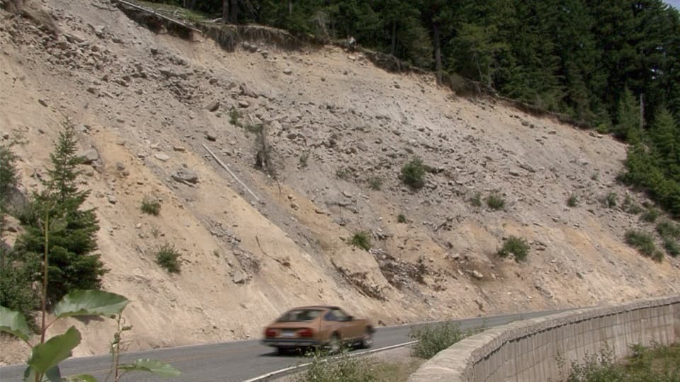
The ridge beneath Sunrise is part of a lava flow about 496,000 years old. The lava cooled against a thick Ice Age glacier; after the ice melted, the rock remained as the ridge the road now skirts. It is a good place to connect the broad mountain view with the volcanic landscape under your feet.

A planned overlookSunrise Road was built to bring visitors into the mountain landscape.

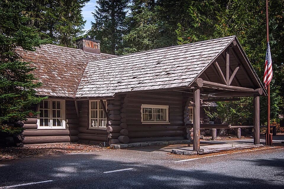
Sunrise Road was built to bring visitors into the mountain landscape. Construction began in 1927, and the road opened in 1931. Landscape architect Ernest A. Davidson helped design Sunrise Point, and the Civilian Conservation Corps later improved sections of the road, including work here in the 1930s. The overlook is part of the Mount Rainier National Historic Landmark District.

Two trails leave from the pulloutPalisades Lakes Trail heads east from the point, while Sourdough Ridge Trail goes west toward…

Palisades Lakes Trail heads east from the point, while Sourdough Ridge Trail goes west toward Sunrise, with a spur toward Dege Peak. You can make Sunrise Point a brief roadside stop or use it to start a longer walk; check the trail route and conditions before setting out.

Part of the wider Sunrise storyThe meadows around Sunrise have long been used by Yakama people for summer hunting and…

The meadows around Sunrise have long been used by Yakama people for summer hunting and gathering. The subalpine plants and animals were part of that seasonal resource base. That history belongs to the broader Sunrise landscape, not just this road bend.

Plan for a summer driveSunrise Road is generally open to vehicles only in summer, usually from around early July…

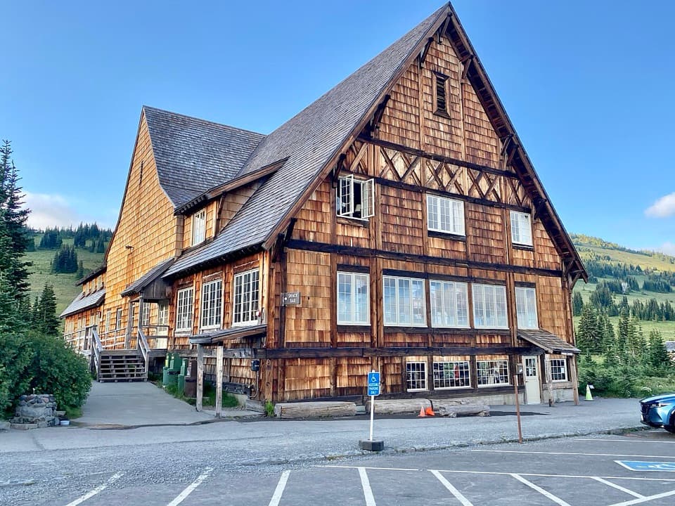
Sunrise Road is generally open to vehicles only in summer, usually from around early July through September; snow can shift the dates. The pullout has parking, interpretive information and trail access. The separate Sunrise Day Lodge farther along the road has food service and a gift shop, so do not count on finding food at the overlook itself. Cloud can hide the peaks, and the view is the main reason to stop. Check the road and trail status before you go.

Wildlife

Wildlife in Mount Rainier

All Mount Rainier wildlife maps

Sighting maps show where each species has been reported across Mount Rainier. Wildlife moves, so no sighting is guaranteed.

Keep exploring

Near Sunrise Point Overlook

See it all on the map

Trails nearby

More stops nearby

Parkwolf’s Mount Rainier ranking

Top sights in Mount Rainier

All 87 places
  1. 1Reflection LakesSight
  2. 2Myrtle FallsSight
  3. 3Panorama PointSight
  4. 4Narada FallsSight
  5. 5Tipsoo LakeSight
  6. 7Silver FallsSight

Take Parkwolf to Mount Rainier.

The audio tour guide for the drive, plus offline maps, trails, and wildlife heatmaps for when the signal drops.

4.7 from 8,600+ ratings

Download Parkwolf on the App StoreGet Parkwolf on Google Play