
Place
Challenging
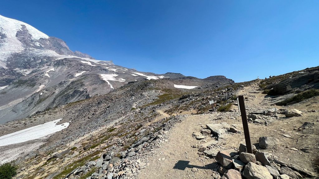
Starting from the Paradise parking area, this hike follows the Skyline Trail before branching to the Pebble Creek spur and climbing into true alpine terrain. Expect about 4.5–5 miles round-trip (roughly 2.2–2.3 miles one way) with a sustained ascent of around 1,500 feet to an endpoint near 7,200 feet. Pebble Creek is the clear edge of the maintained trail; beyond it lies the route to the Muir Snowfield and Camp Muir—terrain for experienced mountaineers, not casual day hikers.
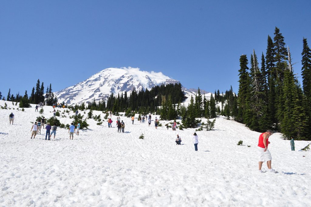
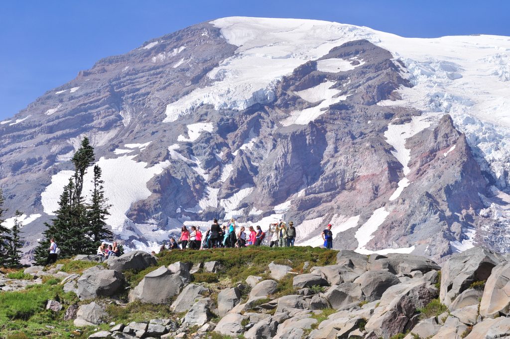
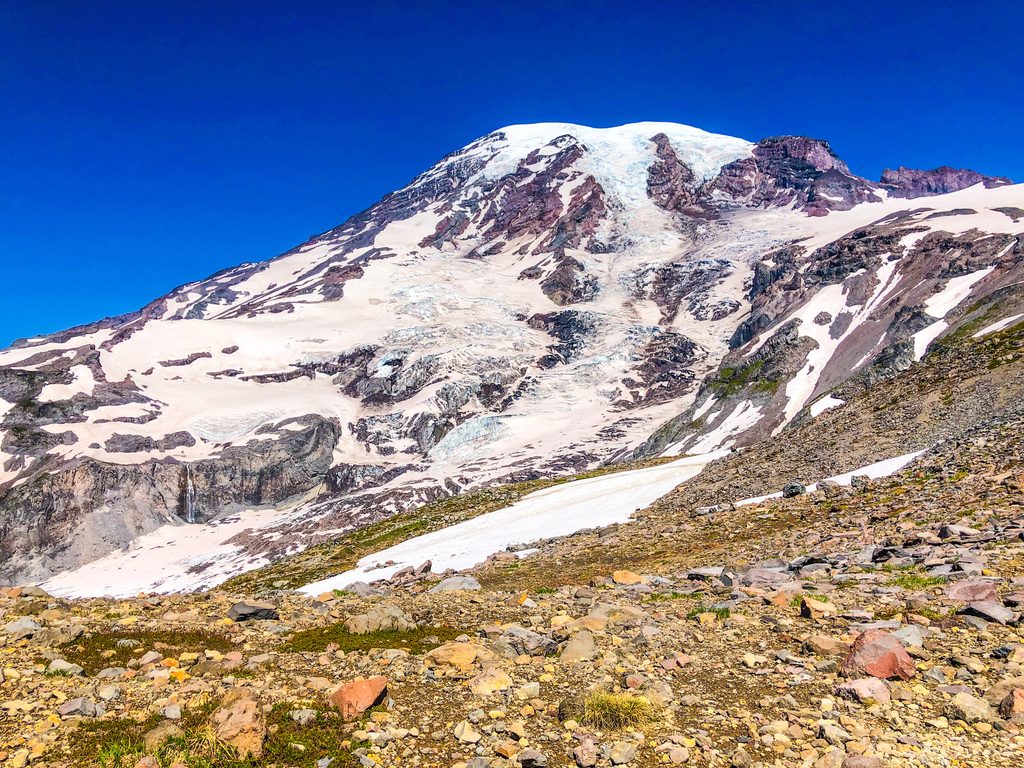
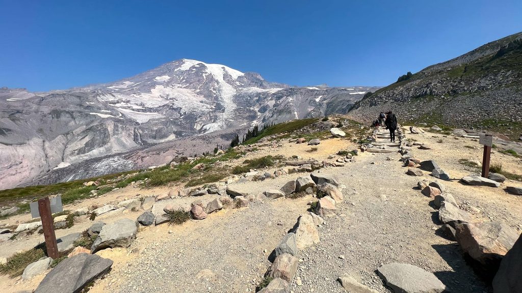
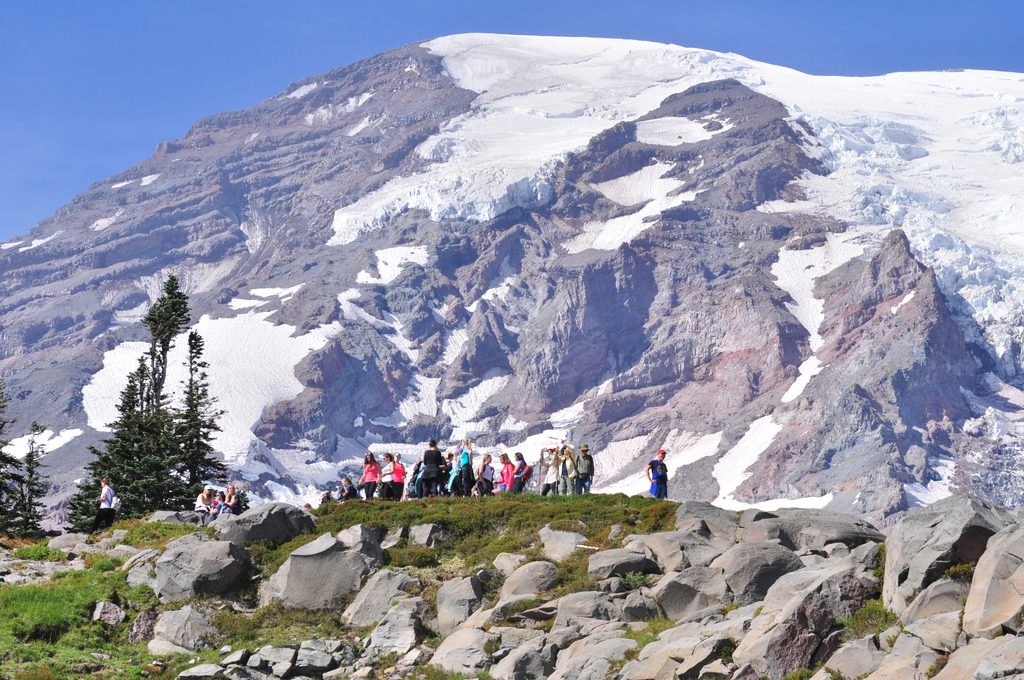
The opening miles roll through well-maintained, popular paths above Paradise’s meadows, with big, ever-improving views of Mount Rainier and the Nisqually Glacier. As you near the creek, the grade steepens and the tread turns rocky and rough; depending on the season, you can hit muddy stretches or lingering snow patches. You’ll likely share the route with climbers headed higher, which adds a bit of mountaineering buzz to the day. On clear days, distant volcanoes can pop on the horizon. Wildlife is a real perk here—marmots, deer, and ptarmigan show up often, and you may notice hummingbirds and busy bees around rocky outcrops when flowers are in.
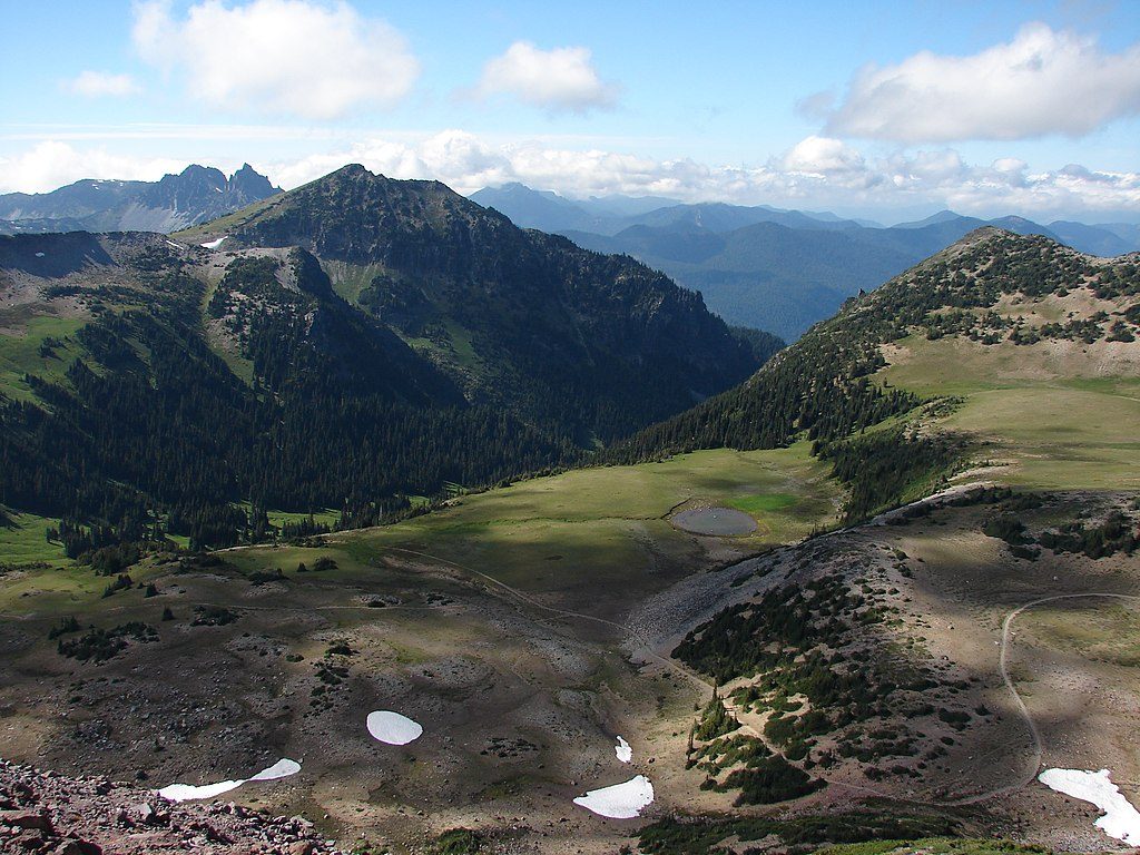
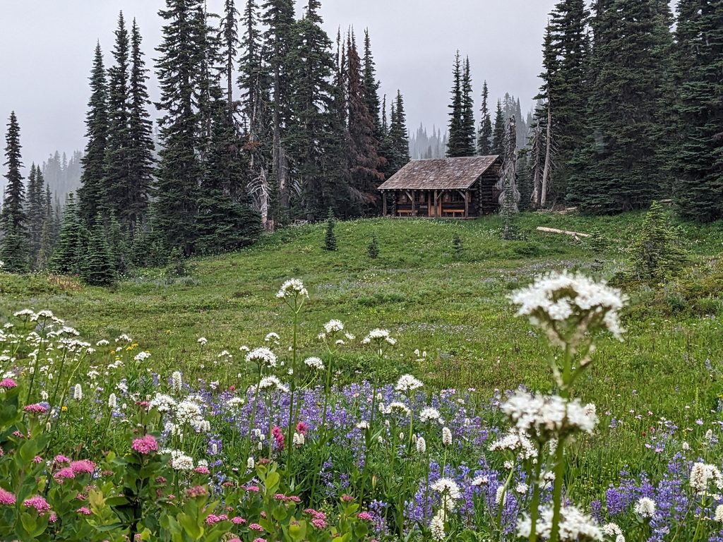
Below Pebble Creek, subalpine meadows light up with wildflowers, especially in early to mid‑August. Views are the calling card: close‑up Rainier, the Nisqually Glacier, and long sightlines to the south on crisp, clear days. As you approach the creek, the landscape shifts from lush meadow to rugged rock and alpine grit—classic high‑elevation Rainier.
Summer (July–September) is the sweet spot for snow‑free trail, flowers, and views. August is prime for wildflower displays and active wildlife. In the shoulder weeks (late June and early October), expect lingering snow and plan accordingly. Weather can flip quickly at these elevations, even in summer.
Wear sturdy boots and consider trekking poles—the upper section is steeper, rockier, and can be slick with mud or snow. Pack layers, plus sunglasses, sunscreen, and a hat; the high‑elevation sun and potential snow glare are no joke. Pace yourself—the steady climb and thinner air can sneak up on you. Turn around at Pebble Creek unless you’re equipped and experienced for unmarked alpine travel. Most hikers return the same way, but you can descend via the Deadhorse Trail for fresh angles over the Nisqually Glacier.
Park at the Paradise lot and start on the Skyline Trail; follow signs for the Pebble Creek spur.
Maintained trail ends at Pebble Creek—beyond is unmarked alpine terrain toward the Muir Snowfield. Expect rapid weather changes, lingering summer snow, rough footing, and strong sun/glare at altitude.
Place
Place
Place
Place
Challenging
Challenging
Challenging
Challenging

Parkwolf Tour Guide
