Parking
Use Paradise’s lower parking lot; the trail begins at its northwest end. The upper lot beside Henry M. Jackson Visitor Center serves a longer approach.
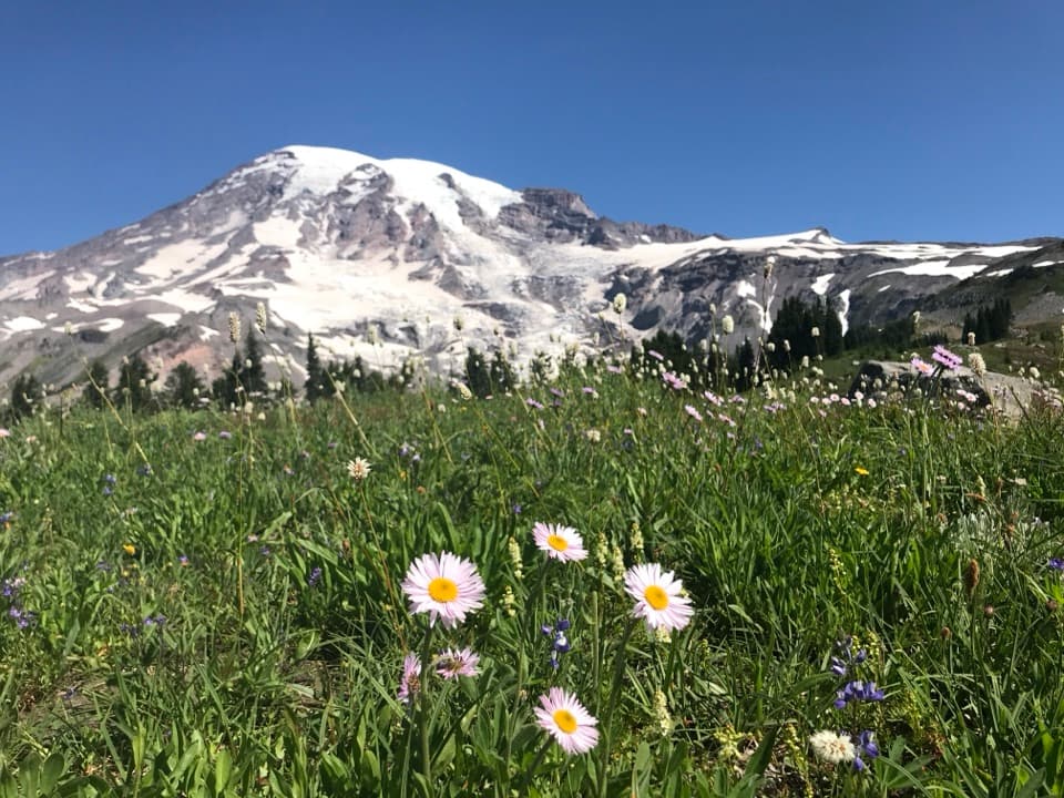
Mount Rainier National Park, WA
Wildflowers frame Rainier above the Nisqually Glacier.
Overview
Map & elevation
Plan your hike

The highest, rockiest slopes around here are a summer buffet for grizzly bears.
Mount Rainier Tour Guide
Parkwolf is a GPS audio tour guide for Mount Rainier National Park. As you drive, it chimes in with what’s ahead: hidden gems, upcoming stops, history, geology, and wildlife, right through your car’s speakers.
See the Mount Rainier audio tourRecorded for this trailhead
Nisqually Vista: A Short Glacier Walk“Up ahead is the lower Paradise parking lot, where the Nisqually Vista walk begins.”
Plays as you drive up to this trailhead in the Parkwolf Mount Rainier Tour Guide.
More stories near here in the app
“Fantastic app with many points of information… It’s great to just turn on while you’re driving and it gives you an audio tour of the national Park. We love it!!!!”


Trail guide
Deadhorse Creek and Moraine Trail is a 2.5-mile out-and-back from Paradise’s lower parking lot, with about 400 feet of climbing. It’s a moderate walk; allow about two hours with a stop. You get a close view of Mount Rainier over the Nisqually Glacier and its rocky moraine, with subalpine meadows along the way. This listing follows the lower-lot route; some longer visitor-center versions add viewpoints and quote 3.25 miles.
Start at the northwest end of the lower lot and climb the paved Deadhorse Creek path. It rises through open meadow, past the Avalanche Lily and Waterfall trail junctions. Stay on Deadhorse Creek until the Moraine junction, about 0.74 mile uphill. There, turn west and then northwest onto Moraine Trail. The dirt tread climbs briefly, then drops through little meadows and subalpine conifers toward the viewpoint.
The viewpoint is about a half-mile beyond the junction. Look across the Nisqually Glacier and the moraine it has pushed into the valley; the Nisqually River’s headwaters are below. The edge is undercut and eroding in places, so keep back. The trail becomes unmaintained and can be hazardous beyond its first half-mile; this walk ends at the viewpoint.
Avalanche lilies appear as snow melts in early summer; asters, gentians and sedges add color later. Mule deer, marmots, golden-mantled ground squirrels and pikas have all been reported in the meadows, though sightings are never promised. For a photo, put meadow flowers low in the frame with the glacier and Rainier above them; there’s no need to approach the moraine edge.
The lower parking lot has no restrooms. Toilets are at Paradise Picnic Area downhill and at Henry M. Jackson Visitor Center in the upper lot; the visitor center also has food service when operating, as a separate stop. Snow patches can cover the trail in spring and fall, so stay on the path to protect fragile meadow plants. Pets aren’t allowed on park trails.
Wildlife
 466 sightingsMountain GoatMost seen around 6 AMSighting map
 383 sightingsBlack BearMost seen around 7 PMSighting map
 10 sightingsWolverineMost seen around 6 AMSighting map
 58 sightingsElkMost seen around 6 AMSighting map
 574 sightingsMule DeerMost seen around 6 AMSighting map
 1,853 sightingsHoary MarmotMost seen around 6 AMSighting map
Sighting maps show where each species has been reported across Mount Rainier. Wildlife moves, so no sighting is guaranteed.
Keep exploring
 ModerateGlacier Vista Trail3.1 mi · 2.8 hr · At the trailheadGet a clear look at the glacier’s icefall, crevasses and headwaters.
 EasyNisqually Vista Trail1.2 mi · 45 min · At the trailheadShort paved loop, big glacier views, and a few rolling climbs.
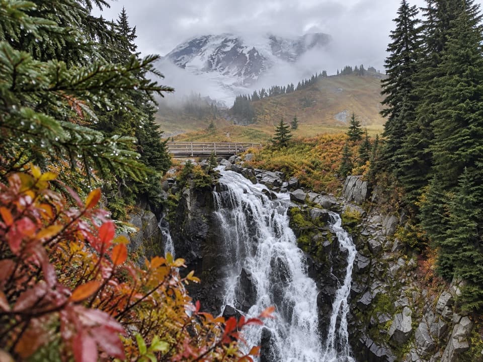 ModerateLakes Trail Loop via Mazama Ridge5.3 mi · 4 hr · 0.2 mi awayLink Reflection Lakes, Faraway Rock, Mazama Ridge, and Myrtle Falls.
 ModerateParadise Glacier Trail5.1 mi · 3.5 hr · 0.2 mi awayFollow Skyline over flower meadows and steps to a glacier basin.
 ModerateNarada Falls Trail from Paradise3.1 mi · 2.5 hr · 0.2 mi awayThe longer Paradise walk drops to the foot of a 168-foot waterfall.
 EasySkyline Trail to Myrtle Falls1 mi · 36 min · 0.3 mi awayA quick paved climb to a braided waterfall with Rainier behind.
 ChallengingPebble Creek Trail4.6 mi · 3.5 hr · 0.3 mi awayClimb through Paradise meadows to the edge of the Muir Snowfield.
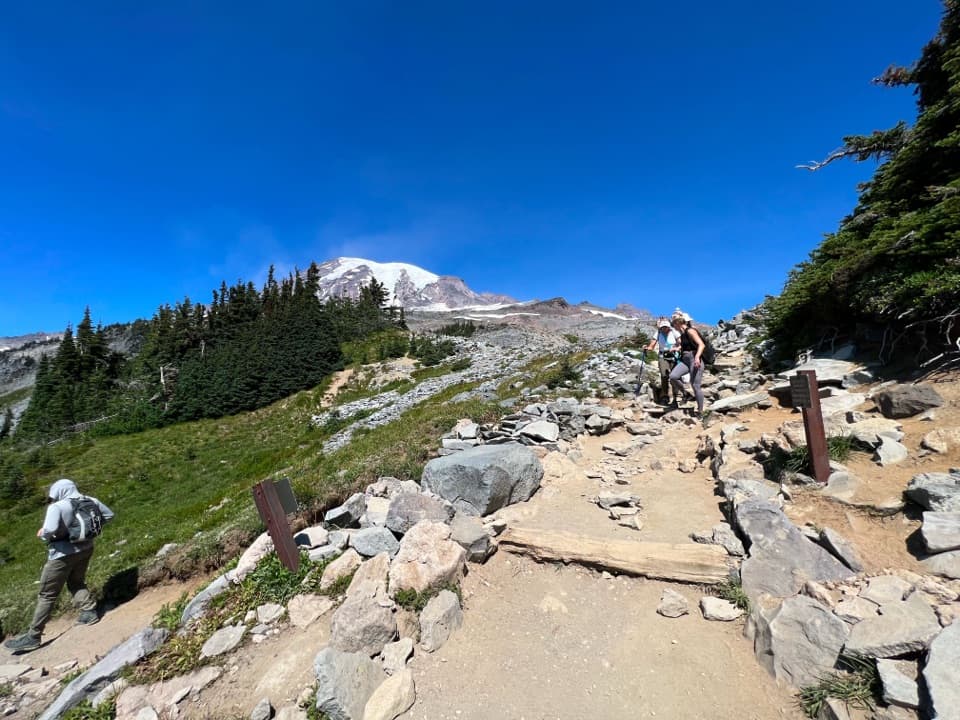 ModerateGolden Gate Loop Trail4 mi · 3 hr · 0.3 mi awayWildflower meadows, Myrtle Falls and a high notch above Paradise.
 Picnic area · 0.2 mi awayParadise Picnic AreaA laid-back lunch among 100-plus tables, with Rainier views on clear days.
 Visitor center · 0.2 mi awayHenry M. Jackson Memorial Visitor CenterStart a Paradise visit with ranger advice and Rainier in view.
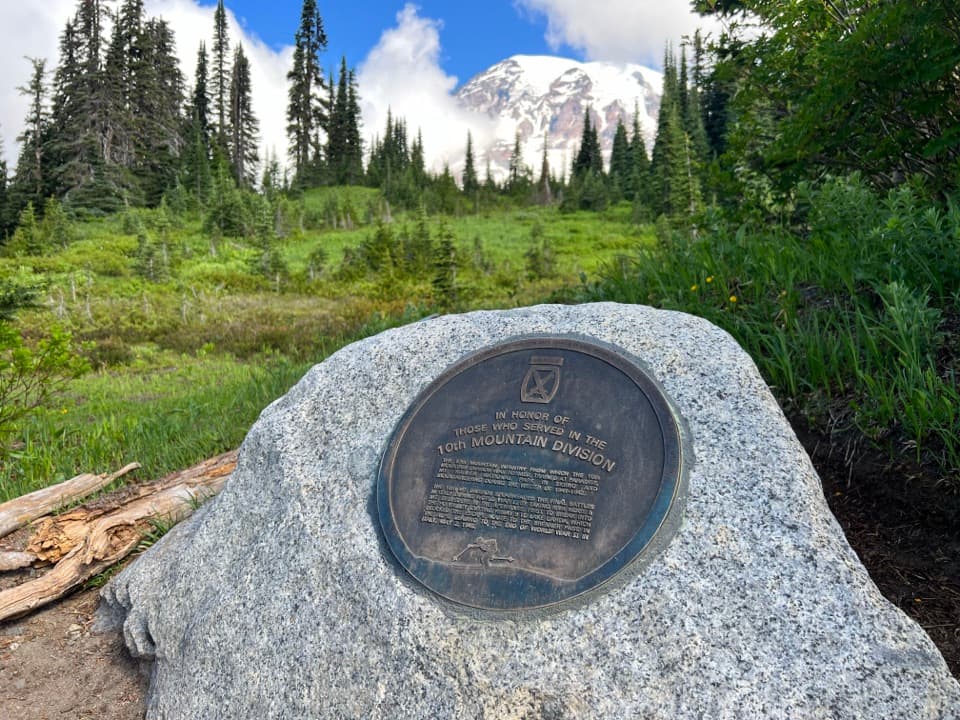 Historic marker · 0.3 mi away10th Mountain Division MemorialA small memorial to the 10th Mountain Division at Paradise.
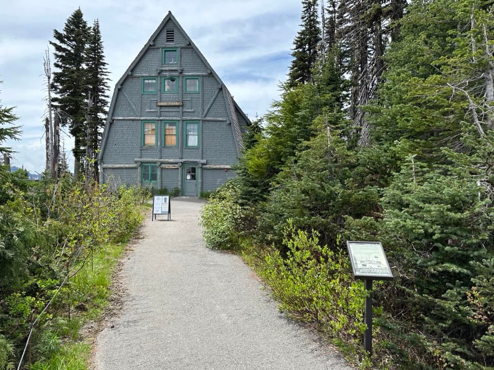 Visitor center · 0.3 mi awayParadise Wilderness Information CenterGet climbing help where summit attempts have begun since 1922.Sight · 0.3 mi awayNisqually VistaA clear day makes the Nisqually Glacier worth the short walk.
 Sight · 0.3 mi awayParadise Ski-Tow PowerhouseA little A-frame recalls Paradise’s lift-served ski years.
 Lodging · 0.4 mi awayParadise InnA grand timber lodge with a 14-foot clock and trail access.
 Sight · 0.5 mi awayRuby FallsA two-tier cascade hides beneath the bridge, just above Narada Falls.
Parkwolf’s Mount Rainier ranking

The audio tour guide for the drive, plus offline maps, trails, and wildlife heatmaps for when the signal drops.




