Narada Falls Trail from Paradise in Mount Rainier National Park

Mount Rainier National Park, WA

Narada Falls Trail from Paradise

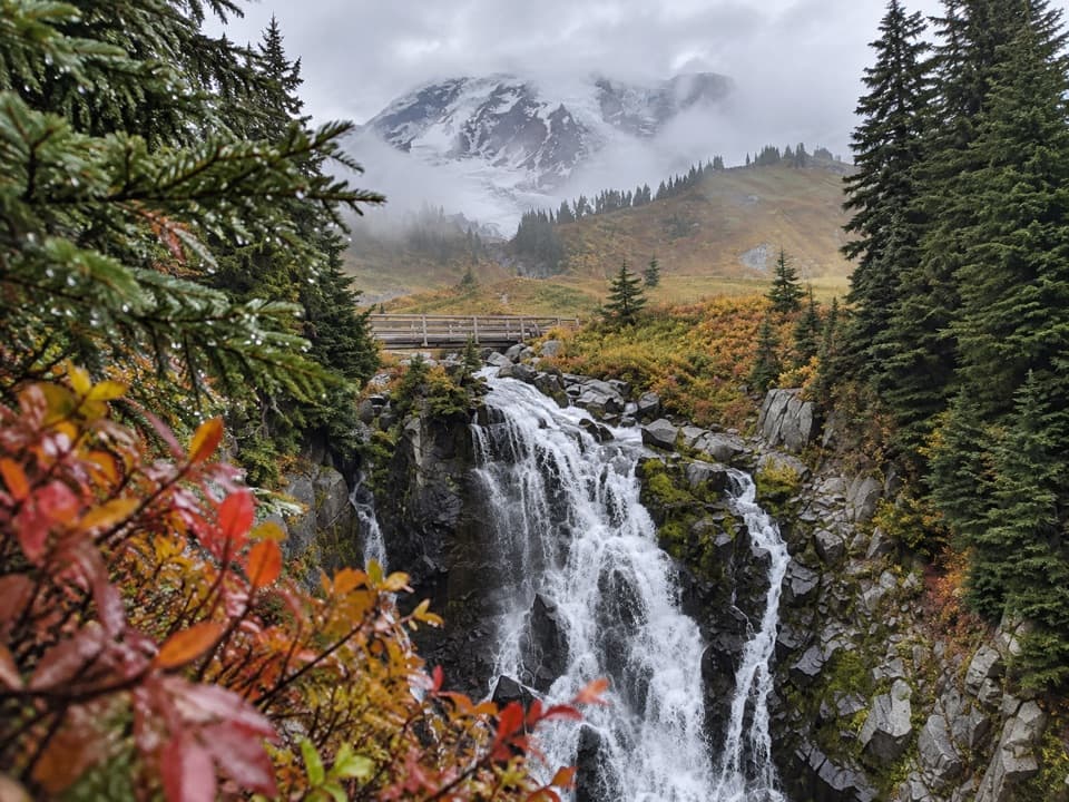
The longer Paradise walk drops to the foot of a 168-foot waterfall.

Photo: National Park Service
Length
3.1mi
Time
2.5hr
Elev. change
1,001ft
Difficulty
Moderate
  • No dogs
  • High point 5,489 ft

Hear the audio tour

Paradise: Meadows, Myrtle Falls and the Inn

Overview

About Narada Falls Trail from Paradise

Why go

  • The longer approach ends at a close view of the full 168-foot waterfall and its rock face.
  • The falls-side rest area has a restroom, picnic tables and water near the bridge.

Heads up

  • The route descends about 1,000 feet, then climbs it all again to Paradise.
  • The final viewpoint path is steep and usually wet from seepage.

Map & elevation

The route

Loading the Mount Rainier map
Full map
Elevation4,488–5,489 ft
TrailheadHenry M. Jackson Memorial Visitor Center (Paradise)46.78588, -121.73679
Keep this map with you offline in the Parkwolf app

Plan your hike

Before you go

Parking

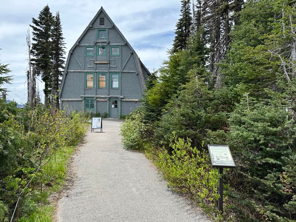
Start at the Henry M. Jackson Memorial Visitor Center in Paradise. A separate roadside parking area at Narada Falls reaches the lower viewpoint by the short 0.4-mile round-trip spur; restrooms, picnic tables, trash and water are at that falls-side area, not at the Paradise trailhead.

Safety

The return to Paradise climbs about 1,000 feet. The lower viewpoint path is steep and stays wet from seepage; snow makes it hazardous in winter. Pets are not allowed on park trails.

7 active Mount Rainier alerts

  • ClosureWildfire closures in the northern parkGrand Park 2 and Wonderland Complex fire closures affect trails, backcountry camps, and Sunrise access; stay out of closed areas.Official details
  • ClosureSR 165 bridge closed: no public access to Carbon River or Mowich LakeThe SR 165 Carbon River/Fairfax Bridge is closed to vehicles, bicycles, and pedestrians; there is no public access or alternate route to Carbon River or Mowich Lake.Official details
See all 7 alerts
A park ranger sits on a dash-mounted phone, talking, as Parkwolf’s Tour Guide plays “Army Cutworm Moths: A Grizzly Bear Buffet” on Grand Loop Road below Dunraven Pass in Yellowstone
Parkwolf Tour GuideThe highest, rockiest slopes around here are a summer buffet for grizzly bears.

Mount Rainier Tour Guide

Your drive to Narada Falls Trail from Paradise, narrated.

Parkwolf is a GPS audio tour guide for Mount Rainier National Park. As you drive, it chimes in with what’s ahead: hidden gems, upcoming stops, history, geology, and wildlife, right through your car’s speakers.

See the Mount Rainier audio tour

Recorded for this trailhead

Paradise: Meadows, Myrtle Falls and the Inn
0:00 / 0:40
“You're coming up on Paradise, where meadow walks start beside the visitor center and historic inn.”

Plays as you drive up to this trailhead in the Parkwolf Mount Rainier Tour Guide.

More stories near here in the app

  • Paradise Picnic Area: A Lunch Stop Among the Trees
  • Nisqually Vista: A Short Glacier Walk
  • Edith Gorge Falls: A Quick Bridge View
  • Ruby Falls: Beneath the Bridge
  • 77 audio storiesacross Mount Rainier’s roads, triggered by GPS as you drive
  • Wildlife heatmapsfor Mountain Goat, Black Bear, Wolverine, and 13 more
  • Works offlinemaps, 99 trails, 87 places, and audio download before you lose signal
  • CarPlay readysimple controls built for the drive
★★★★★
“Fantastic app with many points of information… It’s great to just turn on while you’re driving and it gives you an audio tour of the national Park. We love it!!!!”
JMJamesApp Store review
Download Parkwolf on the App StoreGet Parkwolf on Google Play

4.7 from 8,600+ ratings

Trail guide

Hiking Narada Falls Trail from Paradise

The full Paradise approachNarada Falls Trail from Paradise is an out-and-back walk from the Henry M.

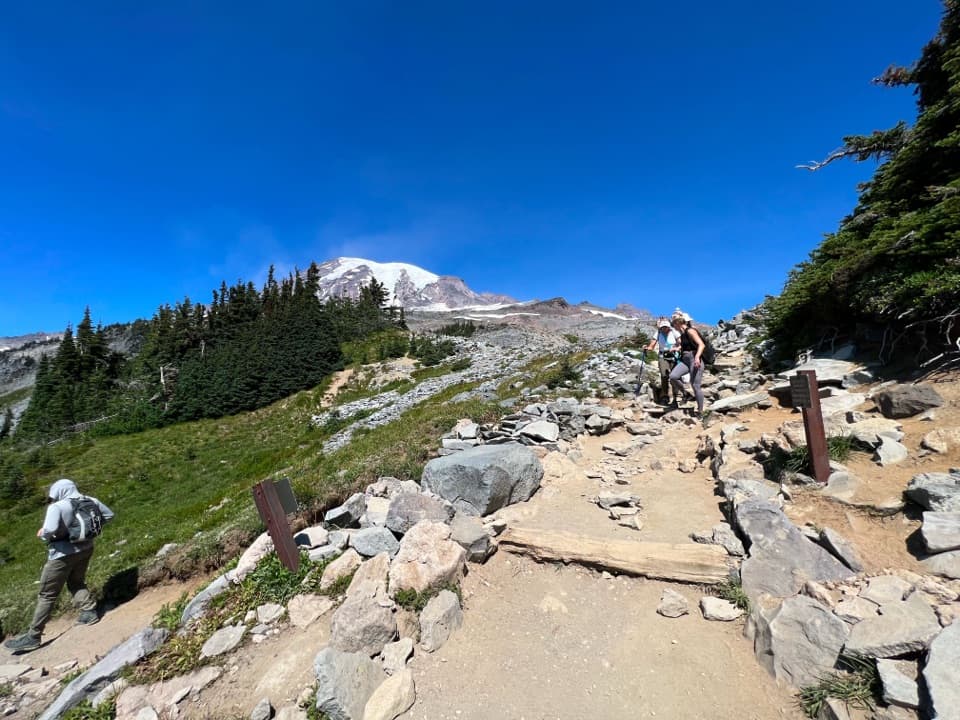
Narada Falls Trail from Paradise is an out-and-back walk from the Henry M. Jackson Memorial Visitor Center to the lower viewpoint beneath Narada Falls. Plan for about 3.1 miles round trip and roughly 2.5 hours, with extra time if you want to stay at the falls. The route drops about 1,000 feet on the way down, so the return is a sustained climb. This is the longer Paradise walk, not the short roadside path: from the Narada Falls rest area, the separate lower-viewpoint spur is about 0.4 miles round trip.

The map labels individual junction distances but does not give this hike a single total; those labels suggest roughly 2.8 miles round trip. Following the connected walking line from the visitor center to the lower viewpoint measures about 1.56 miles one way, including the access connections at either end. The stored distance uses that mapped line, rounded to 3.1 miles round trip, as the more useful planning estimate.

Finding the routeFrom Paradise, the route descends through the connected Paradise Valley and Lakes/Waterfall…

From Paradise, the route descends through the connected Paradise Valley and Lakes/Waterfall trail corridor toward Narada Falls. It uses several connected paths rather than one continuous trail carrying the same name. At the falls, cross the stone-faced bridge by Stevens Canyon Road and continue to the lower viewpoint; retrace the same corridor to return to Paradise. The map is schematic and labels junction-to-junction distances, so keep the Narada Falls destination in view rather than continuing onto the separate five-mile Lakes Trail loop.

The detailed footing and grade are best documented on the lower falls-side section, not the whole Paradise approach. The final descent is steep: the first roughly 200 feet have a railing, followed by a switchback and about 400 feet more to the viewpoint. Seepage keeps this tread wet, and spray can reach the viewing area. The full route is a moderate outing because its climb back to Paradise is substantial; the steep, damp lower section deserves extra care on the return, when it becomes an uphill climb.

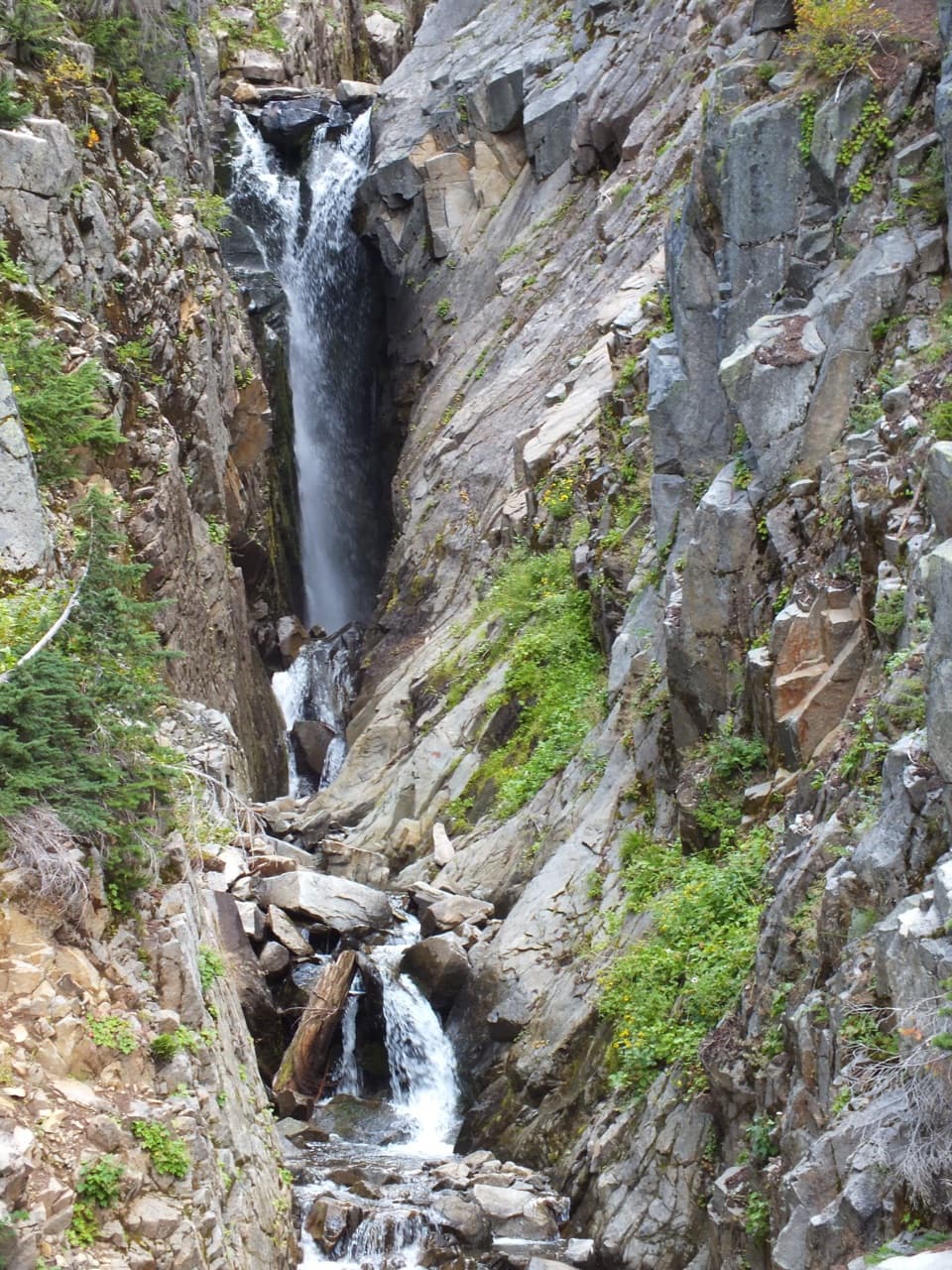
At the viewpointFrom below, the whole 168-foot cascade drops over a dark, fractured rock face.

From below, the whole 168-foot cascade drops over a dark, fractured rock face. This close view is the payoff for taking the longer approach. To show the scale, frame the complete falls with some of the rock wall rather than filling the picture with water alone. The bridge and retaining wall offer a higher view; the lower viewing area sits about 100 feet below. On a sunny day, the falls are better lit after mid-morning.

Water and rockNarada Falls is on the Paradise River, which begins in nearby snowfields rather than glacier…

Narada Falls is on the Paradise River, which begins in nearby snowfields rather than glacier ice. Its water stays relatively clear instead of carrying the heavy silt common in glacier-fed streams. At the brink, the river runs over a hard andesite lava flow that meets much older rock. A glacier once filled this valley; contact with its ice helped cool the lava into the steep face you see today.

The name and bridgeThe name Narada was proposed by Tacoma Theosophists and adopted in 1893; it is associated with…

The name Narada was proposed by Tacoma Theosophists and adopted in 1893; it is associated with the idea of being pure or uncontaminated. After Representative Francis Cushman died in 1909, some maps briefly used “Cushman Falls,” but that renaming was never official. The stone-faced bridge and other structures at the falls were built in the early 1900s with a rustic design meant to sit naturally in the landscape.

Access and restrictionsStart at the Paradise visitor center for this version.

Start at the Paradise visitor center for this version. The separate Narada Falls roadside area is a shorter way to reach the same lower viewpoint; it has parking, an accessible restroom, picnic tables, trash service and a water fountain or spigot near the bridge. These facilities are at the falls-side rest area, not the Paradise trailhead, and no food service on the route was verified. Pets are not allowed on park trails. In winter, snow can cover the lower viewpoint path and make it hazardous; check current park and road conditions before setting out.

Wildlife

Wildlife in Mount Rainier

All Mount Rainier wildlife maps

Sighting maps show where each species has been reported across Mount Rainier. Wildlife moves, so no sighting is guaranteed.

Keep exploring

Near Narada Falls Trail from Paradise

See it all on the map

Trails that start nearby

Places near the trailhead

Parkwolf’s Mount Rainier ranking

Top-rated trails in Mount Rainier

All 99 trails
  1. 1Wonderland TrailChallenging · 93 mi
  2. 2Skyline Trail LoopChallenging · 5.5 mi
  3. 3Mount Fremont Lookout TrailModerate · 5.6 mi
  4. 4Burroughs Mountain TrailModerate · 6.2 mi
  5. 5Summerland TrailModerate · 8.4 mi
  6. 6Naches Peak Loop TrailModerate · 3.5 mi

Take Parkwolf to Mount Rainier.

The audio tour guide for the drive, plus offline maps, trails, and wildlife heatmaps for when the signal drops.

4.7 from 8,600+ ratings

Download Parkwolf on the App StoreGet Parkwolf on Google Play