Parking
Start at the northwest end of Paradise’s lower parking lot at the Deadhorse Creek Trail access. The route returns on Skyline near the visitor center, then follows a marked Paradise connector back to the lower lot.

Mount Rainier National Park, WA
Get a clear look at the glacier’s icefall, crevasses and headwaters.
Overview
Map & elevation
Plan your hike

The highest, rockiest slopes around here are a summer buffet for grizzly bears.
Mount Rainier Tour Guide
Parkwolf is a GPS audio tour guide for Mount Rainier National Park. As you drive, it chimes in with what’s ahead: hidden gems, upcoming stops, history, geology, and wildlife, right through your car’s speakers.
See the Mount Rainier audio tourRecorded for this trailhead
Nisqually Vista: A Short Glacier Walk“Up ahead is the lower Paradise parking lot, where the Nisqually Vista walk begins.”
Plays as you drive up to this trailhead in the Parkwolf Mount Rainier Tour Guide.
More stories near here in the app
“Fantastic app with many points of information… It’s great to just turn on while you’re driving and it gives you an audio tour of the national Park. We love it!!!!”


Trail guide
Glacier Vista is a 3.1-mile loop from Paradise’s lower parking lot to a direct view of Nisqually Glacier. Follow Deadhorse Creek uphill, take the short Glacier Vista spur off Skyline, then descend Skyline and use the marked Paradise connector back to the lower lot. Allow about 2½ to 3 hours and roughly 900 feet of climbing. Choose this route when the glacier is your main goal; Panorama Point is the longer Skyline continuation. The 2.5-mile Deadhorse Creek–Moraine circuit returns by Moraine, while the Vista version climbs to the overlook and comes back along Skyline.
Start at the northwest end of the lower lot. Deadhorse Creek climbs to the upper Skyline; at the Glacier Vista junction, the named spur makes a short loop around the viewpoint and rejoins Skyline. Follow Skyline downhill toward the visitor center, then use the marked Paradise path to close the loop at the lower lot. The 0.2-mile figure at the upper junction covers only the short Vista segment; the complete Paradise outing is about 3.1 miles. The high point is about 6,336 feet, so the climb is noticeable even though the distance is modest.
The viewpoint faces Mount Rainier and the glacier descending from it. An interpretive panel identifies the icefall, crevasses, debris-covered lower glacier, terminus, lateral moraine, and the meltwater that starts the Nisqually River. For a photo, keep the glacier’s curve and the rocky valley in the same frame; the valley gives the ice a sense of scale.
Nisqually Glacier moves about three feet a day through the steep icefall, faster in summer and slower in winter. Crevasses open where the ice crosses irregular bedrock, while rock debris can cover the lower glacier in summer and fresh snow hides it in winter. The view is also a lesson in how a glacier feeds a river: the meltwater below the terminus forms the Nisqually’s headwaters.
Snow can linger on Paradise trails into June or July, so the upper path may still be snow-covered early in the season. Pets are not allowed on park trails. Paradise Inn’s dining room and gift shop are near the visitor center, separate from the route, and the inn generally operates from mid-May into early October. Paradise’s name is credited to Martha Longmire, who called the area a paradise when she first saw it.
Wildlife
 466 sightingsMountain GoatMost seen around 6 AMSighting map
 383 sightingsBlack BearMost seen around 7 PMSighting map
 10 sightingsWolverineMost seen around 6 AMSighting map
 58 sightingsElkMost seen around 6 AMSighting map
 574 sightingsMule DeerMost seen around 6 AMSighting map
 1,853 sightingsHoary MarmotMost seen around 6 AMSighting map
Sighting maps show where each species has been reported across Mount Rainier. Wildlife moves, so no sighting is guaranteed.
Keep exploring
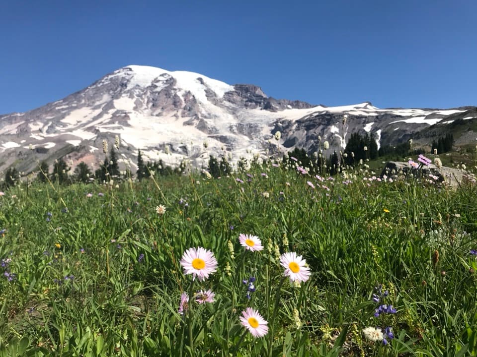 ModerateDeadhorse Creek and Moraine Trail2.5 mi · 2 hr · At the trailheadWildflowers frame Rainier above the Nisqually Glacier.
 EasyNisqually Vista Trail1.2 mi · 45 min · At the trailheadShort paved loop, big glacier views, and a few rolling climbs.
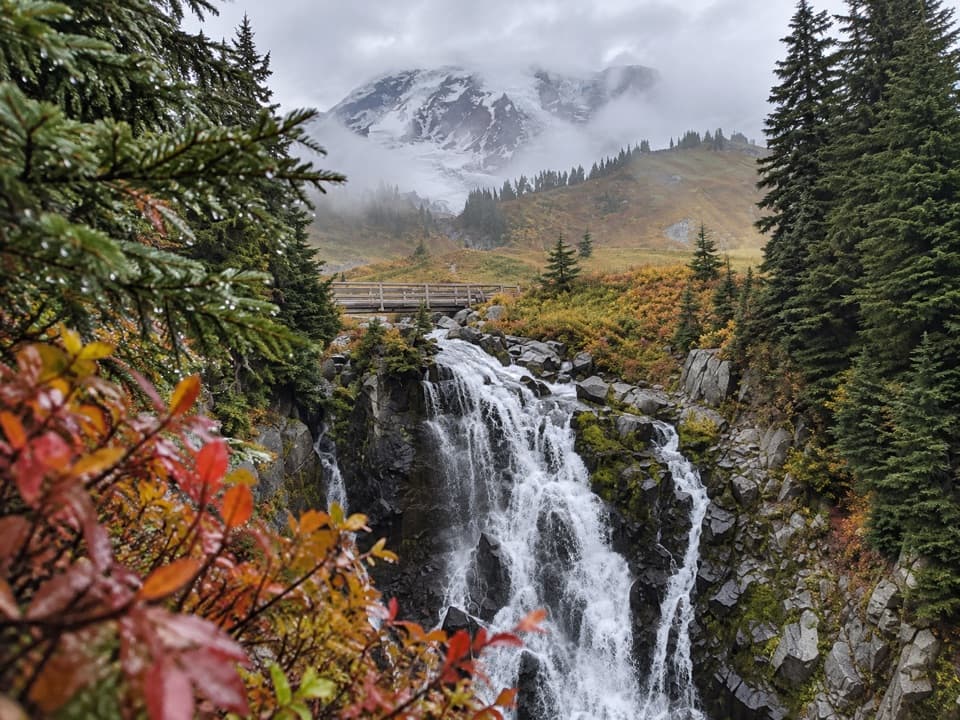 ModerateLakes Trail Loop via Mazama Ridge5.3 mi · 4 hr · 0.2 mi awayLink Reflection Lakes, Faraway Rock, Mazama Ridge, and Myrtle Falls.
 ModerateParadise Glacier Trail5.1 mi · 3.5 hr · 0.2 mi awayFollow Skyline over flower meadows and steps to a glacier basin.
 ModerateNarada Falls Trail from Paradise3.1 mi · 2.5 hr · 0.2 mi awayThe longer Paradise walk drops to the foot of a 168-foot waterfall.
 EasySkyline Trail to Myrtle Falls1 mi · 36 min · 0.3 mi awayA quick paved climb to a braided waterfall with Rainier behind.
 ChallengingPebble Creek Trail4.6 mi · 3.5 hr · 0.3 mi awayClimb through Paradise meadows to the edge of the Muir Snowfield.
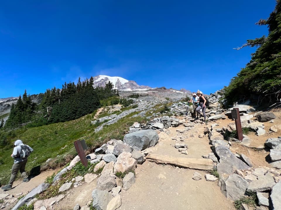 ModerateGolden Gate Loop Trail4 mi · 3 hr · 0.3 mi awayWildflower meadows, Myrtle Falls and a high notch above Paradise.
 Picnic area · 0.2 mi awayParadise Picnic AreaA laid-back lunch among 100-plus tables, with Rainier views on clear days.
 Visitor center · 0.2 mi awayHenry M. Jackson Memorial Visitor CenterStart a Paradise visit with ranger advice and Rainier in view.
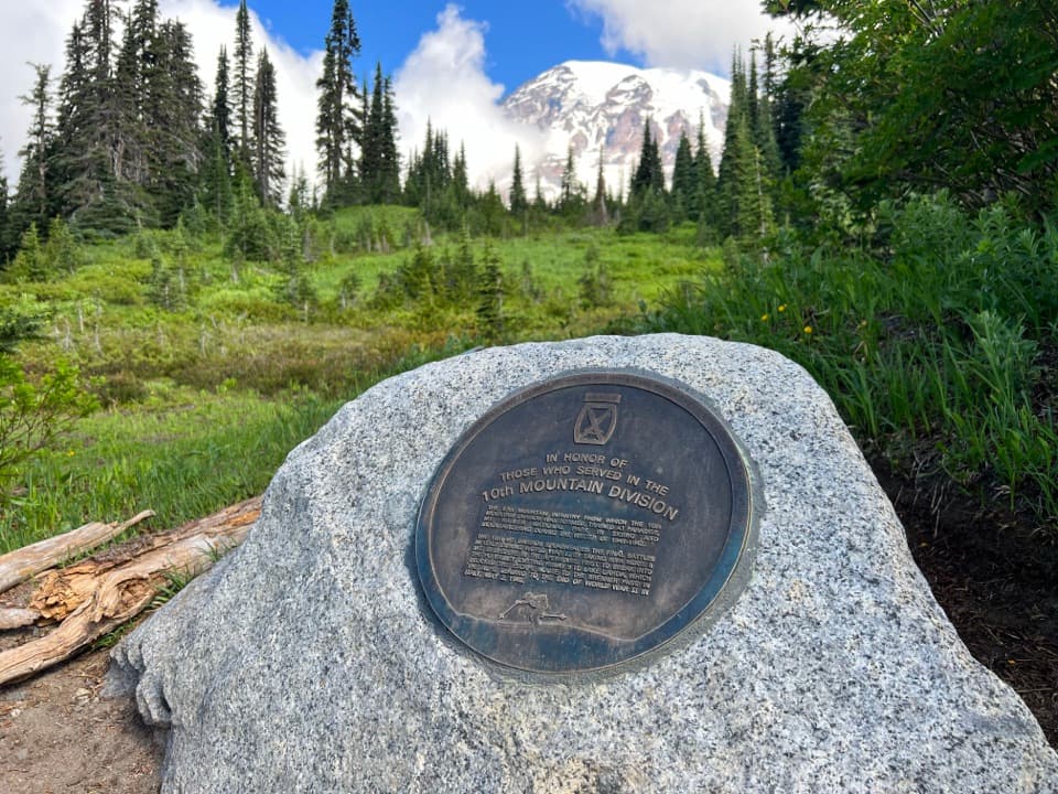 Historic marker · 0.3 mi away10th Mountain Division MemorialA small memorial to the 10th Mountain Division at Paradise.
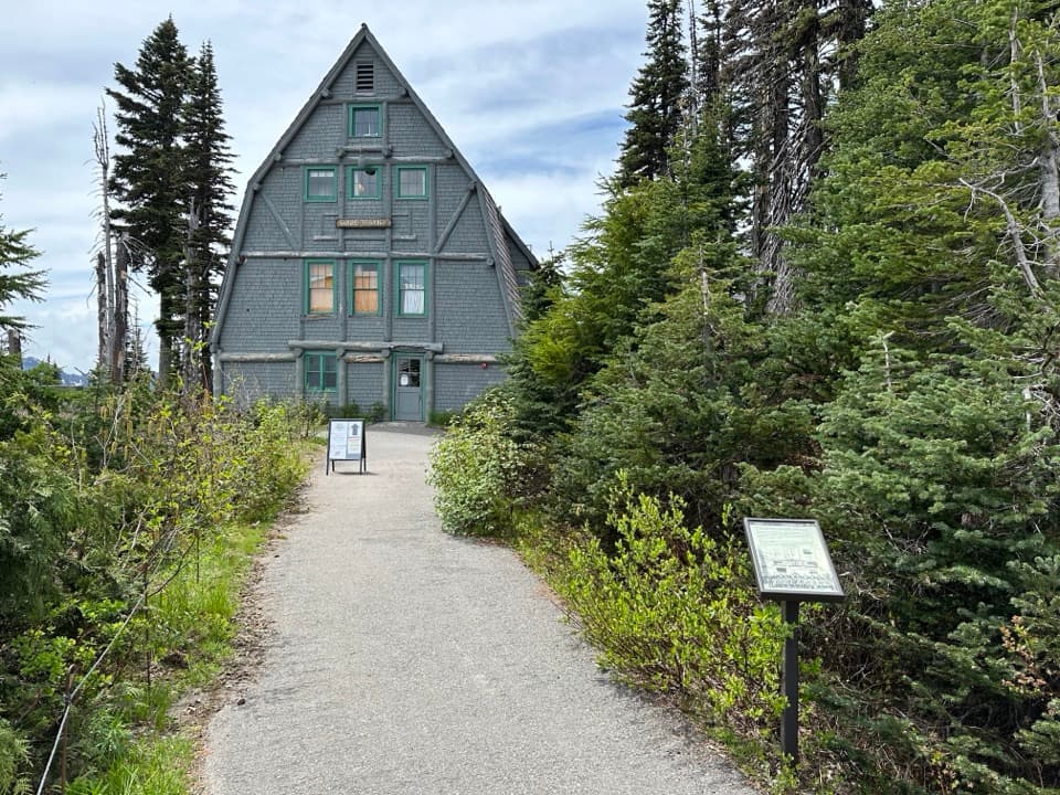 Visitor center · 0.3 mi awayParadise Wilderness Information CenterGet climbing help where summit attempts have begun since 1922.
 Sight · 0.3 mi awayParadise Ski-Tow PowerhouseA little A-frame recalls Paradise’s lift-served ski years.Sight · 0.3 mi awayNisqually VistaA clear day makes the Nisqually Glacier worth the short walk.
 Lodging · 0.4 mi awayParadise InnA grand timber lodge with a 14-foot clock and trail access.
 Sight · 0.5 mi awayRuby FallsA two-tier cascade hides beneath the bridge, just above Narada Falls.
Parkwolf’s Mount Rainier ranking

The audio tour guide for the drive, plus offline maps, trails, and wildlife heatmaps for when the signal drops.




