Parking
Use the small trailhead area on the south side of Stevens Canyon Road, 1.5 miles east of Reflection Lakes parking. Do not use overflow parking that impedes traffic.
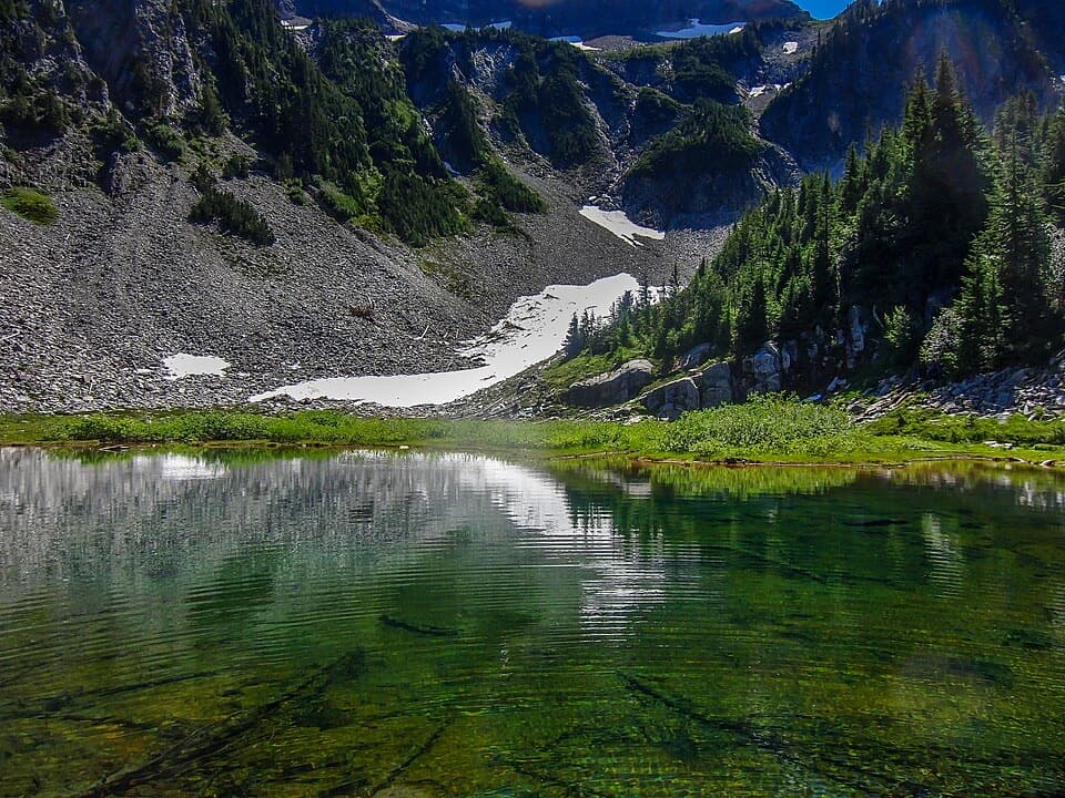
Mount Rainier National Park, WA
Two lakes and Rainier views, reached by a short, rolling trail.
Overview
Map & elevation
Plan your hike

The highest, rockiest slopes around here are a summer buffet for grizzly bears.
Mount Rainier Tour Guide
Parkwolf is a GPS audio tour guide for Mount Rainier National Park. As you drive, it chimes in with what’s ahead: hidden gems, upcoming stops, history, geology, and wildlife, right through your car’s speakers.
See the Mount Rainier audio tourRecorded for this trailhead
Bench and Snow Lakes: Two Hours on Foot“You're approaching the Bench and Snow Lake trailhead, for a two-and-a-half-mile round trip to two small lakes beneath the Tatoosh Range.”
Plays as you drive up to this trailhead in the Parkwolf Mount Rainier Tour Guide.
More stories near here in the app
“Fantastic app with many points of information… It’s great to just turn on while you’re driving and it gives you an audio tour of the national Park. We love it!!!!”


Trail guide
The Bench and Snow Lake Trail is a 2.5-mile out-and-back from Stevens Canyon Road: Bench Lake comes first, then Snow Lake after another half mile, and you return the same way. Allow about two hours; the park lists 700 feet of gain. Instead of one long ascent, the trail repeatedly dips and climbs over low ridges. Two small subalpine lakes and open views toward Rainier and the Tatoosh Range make the effort worthwhile without taking over your day.
The trailhead is 1.5 miles east of Reflection Lakes parking. The path climbs quickly on log steps, then rolls through shrubs and small trees. Expect roots, rocks and sandy sections underfoot. Summer visitors often run into biting insects around Bench Lake, so repellent is useful. Park trails are closed to pets. A wilderness permit is required for overnight camping at Snow Lake.
At about half a mile, a rock outcrop on the left opens a partial view of Rainier and looks toward the northwest end of Bench Lake. The park places Bench Lake about 0.75 mile from the start. A short spur drops steeply to the shore over badly eroded, uneven steps; there is no path around the lake. If that is enough, turn back from Bench for an outing of about 1.5 miles round trip, leaving the steeper continuation to Snow Lake for another day.
Return from Bench to the main path, descend to a small creek and rock-hop across, then climb a ridge, drop again and make the final climb toward Snow Lake. The maintained day-hike path ends at the shallow lake inlet beneath rocky talus. A short side walk toward the Snow Lake campsites and bridge gives a different lakeside view, but it is optional. The lake sits under the Tatoosh Range, with Unicorn Peak visible above the basin.
Most years, snow remains around the lakes until late July and the trail can stay muddy during melt. Mid-summer brings wildflowers and bear grass; mountain ash and huckleberries add color in fall. Silver snags from an older fire still stand along the route. “Snow Lake” may refer to meltwater from the Tatoosh snowfields or to snow that can ring the lake into summer; the name’s origin is uncertain.
Wildlife
 466 sightingsMountain GoatMost seen around 6 AMSighting map
 383 sightingsBlack BearMost seen around 7 PMSighting map
 10 sightingsWolverineMost seen around 6 AMSighting map
 58 sightingsElkMost seen around 6 AMSighting map
 574 sightingsMule DeerMost seen around 6 AMSighting map
 1,853 sightingsHoary MarmotMost seen around 6 AMSighting map
Sighting maps show where each species has been reported across Mount Rainier. Wildlife moves, so no sighting is guaranteed.
Keep exploring
 ModerateHigh Lakes Loop Trail3 mi · 2.5 hr · 1 mi awayA short ridge loop ends at a bluff above the lakes.
 ModeratePinnacle Peak Trail2.5 mi · 2 hr · 1.1 mi awayA short, steep climb to a saddle with Rainier views.
 ChallengingSkyline Trail Loop5.5 mi · 4.5 hr · 1.8 mi awayA strenuous Paradise loop past glaciers, Panorama Point and Myrtle Falls.
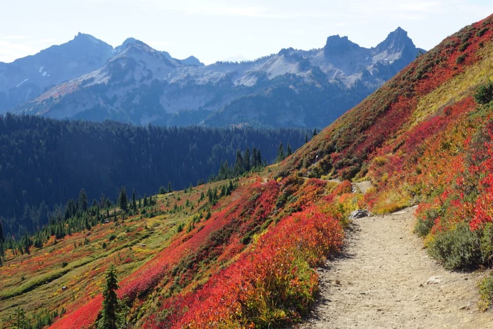 ModerateAlta Vista Trail Loop1.7 mi · 1.5 hr · 1.8 mi awayA short climb opens broad views of Paradise and the Tatoosh.
 ChallengingPebble Creek Trail4.6 mi · 3.5 hr · 1.9 mi awayClimb through Paradise meadows to the edge of the Muir Snowfield.
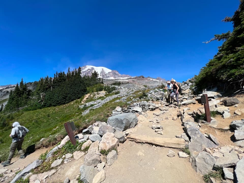 ModerateGolden Gate Loop Trail4 mi · 3 hr · 1.9 mi awayWildflower meadows, Myrtle Falls and a high notch above Paradise.
 ModerateNarada Falls Trail from Paradise3.1 mi · 2.5 hr · 1.9 mi awayThe longer Paradise walk drops to the foot of a 168-foot waterfall.
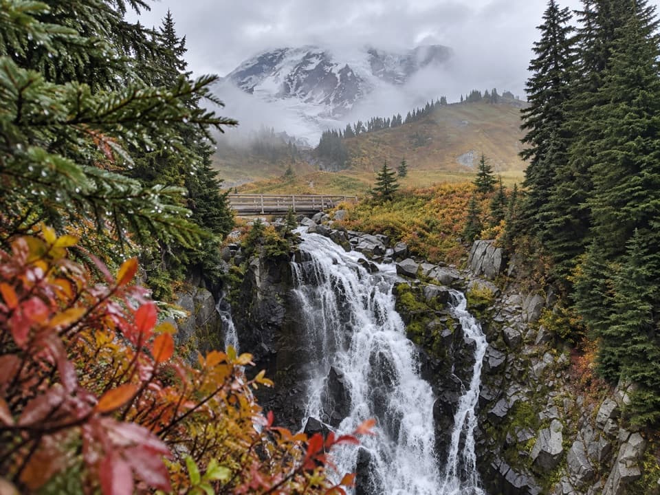 ModerateLakes Trail Loop via Mazama Ridge5.3 mi · 4 hr · 1.9 mi awayLink Reflection Lakes, Faraway Rock, Mazama Ridge, and Myrtle Falls.
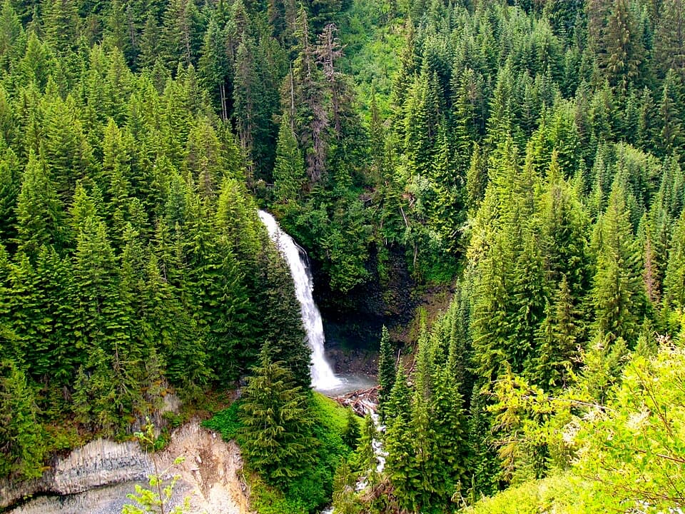 Sight · 0.7 mi awayMartha FallsA quick roadside waterfall view in Stevens Canyon.
 Sight · 1 mi awayReflection LakesA mountain reflection with a rocky loop to Faraway Rock.
 Sight · 1.6 mi awaySylvia FallsA 43-foot fan of water folded into a narrow canyon.
 Sight · 1.7 mi awayRuby FallsA two-tier cascade hides beneath the bridge, just above Narada Falls.
 Sight · 1.8 mi awayInspiration PointA no-hike Rainier view framed by a century of park-road history.
 Lodging · 1.8 mi awayParadise InnA grand timber lodge with a 14-foot clock and trail access.
 Picnic area · 1.8 mi awayParadise Picnic AreaA laid-back lunch among 100-plus tables, with Rainier views on clear days.
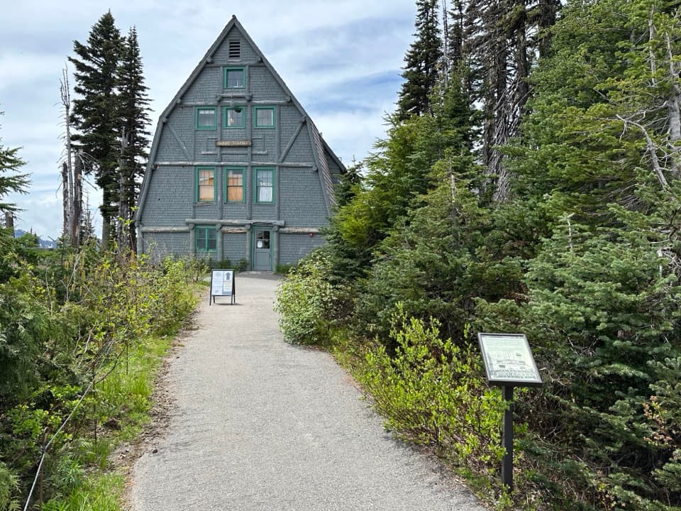 Visitor center · 1.8 mi awayParadise Wilderness Information CenterGet climbing help where summit attempts have begun since 1922.
Parkwolf’s Mount Rainier ranking

The audio tour guide for the drive, plus offline maps, trails, and wildlife heatmaps for when the signal drops.




