Alta Vista Trail Loop in Mount Rainier National Park

Mount Rainier National Park, WA

Alta Vista Trail Loop

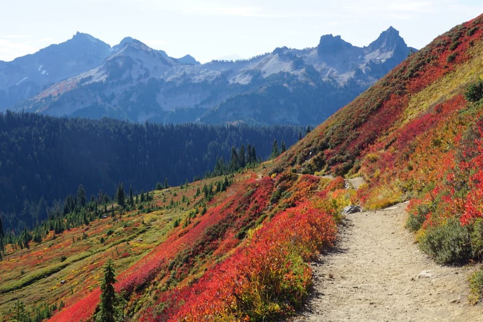
A short climb opens broad views of Paradise and the Tatoosh.

Photo: National Park Service
Length
1.7mi
Time
1.5hr
Elev. change
466ft
Difficulty
Moderate
  • Loop
  • No dogs
  • High point 5,902 ft

Hear the audio tour

Paradise: Meadows, Myrtle Falls and the Inn

Overview

About Alta Vista Trail Loop

Why go

  • Wide mountain views for a short walk
  • The summit spur and bench make a clear payoff

Heads up

  • Steep, rough stretches make the short climb feel harder
  • Lingering snow can cover sections well into early summer

Map & elevation

The route

Loading the Mount Rainier map
Full map
Elevation5,436–5,902 ft
TrailheadParadise Upper Parking Lot / Henry M. Jackson Memorial Visitor Center46.78600, -121.73500
Keep this map with you offline in the Parkwolf app

Plan your hike

Before you go

Parking

Use the upper Paradise parking lot beside the Henry M. Jackson Memorial Visitor Center; the Skyline Trail access is on the north side of the lot. The lower lot is an alternate start for Alta Vista. Both lots can fill during peak season and on weekends.

Best time to go

Snow can linger on Paradise trails into June or July, and spring or fall snow patches may hide sections of path. Check current trail conditions before setting out, and do not mistake a snow-covered meadow for a shortcut. Pets and bicycles are prohibited on park trails. Restrooms, information and seasonal food service are available at the visitor center by the trailhead.

Safety

The route climbs steeply at 5,400 to 5,940 feet and includes narrow, rough and rocky sections near the summit. Snow may remain on the trail into June or July. Pets and bicycles are not allowed on park trails; stay on the path to protect fragile meadow plants.

7 active Mount Rainier alerts

  • ClosureWildfire closures in the northern parkGrand Park 2 and Wonderland Complex fire closures affect trails, backcountry camps, and Sunrise access; stay out of closed areas.Official details
  • ClosureSR 165 bridge closed: no public access to Carbon River or Mowich LakeThe SR 165 Carbon River/Fairfax Bridge is closed to vehicles, bicycles, and pedestrians; there is no public access or alternate route to Carbon River or Mowich Lake.Official details
See all 7 alerts
A park ranger sits on a dash-mounted phone, talking, as Parkwolf’s Tour Guide plays “Army Cutworm Moths: A Grizzly Bear Buffet” on Grand Loop Road below Dunraven Pass in Yellowstone
Parkwolf Tour GuideThe highest, rockiest slopes around here are a summer buffet for grizzly bears.

Mount Rainier Tour Guide

Your drive to Alta Vista Trail Loop, narrated.

Parkwolf is a GPS audio tour guide for Mount Rainier National Park. As you drive, it chimes in with what’s ahead: hidden gems, upcoming stops, history, geology, and wildlife, right through your car’s speakers.

See the Mount Rainier audio tour

Recorded for this trailhead

Paradise: Meadows, Myrtle Falls and the Inn
0:00 / 0:40
“You're coming up on Paradise, where meadow walks start beside the visitor center and historic inn.”

Plays as you drive up to this trailhead in the Parkwolf Mount Rainier Tour Guide.

More stories near here in the app

  • Paradise Picnic Area: A Lunch Stop Among the Trees
  • Nisqually Vista: A Short Glacier Walk
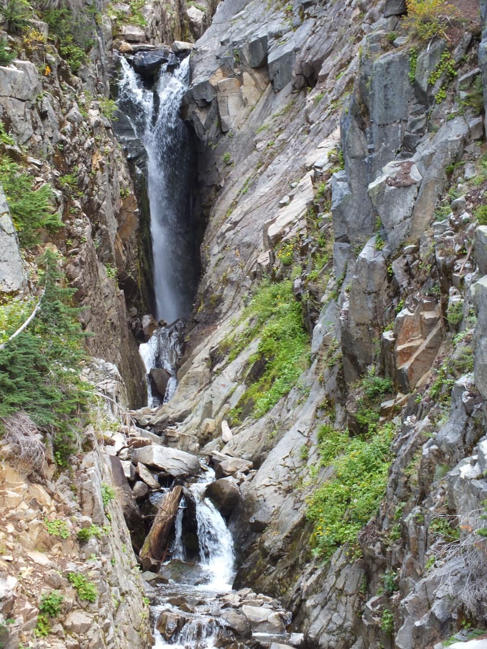
  • Edith Gorge Falls: A Quick Bridge View
  • Ruby Falls: Beneath the Bridge
  • 77 audio storiesacross Mount Rainier’s roads, triggered by GPS as you drive
  • Wildlife heatmapsfor Mountain Goat, Black Bear, Wolverine, and 13 more
  • Works offlinemaps, 99 trails, 87 places, and audio download before you lose signal
  • CarPlay readysimple controls built for the drive
★★★★★
“Fantastic app with many points of information… It’s great to just turn on while you’re driving and it gives you an audio tour of the national Park. We love it!!!!”
JMJamesApp Store review
Download Parkwolf on the App StoreGet Parkwolf on Google Play

4.7 from 8,600+ ratings

Trail guide

Hiking Alta Vista Trail Loop

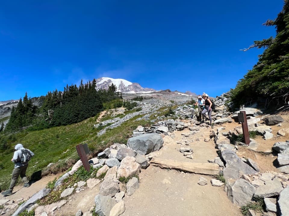
A short Paradise loop with a summit spurAlta Vista Trail Loop is a 1.7-mile loop from Paradise's upper parking lot.

Alta Vista Trail Loop is a 1.7-mile loop from Paradise's upper parking lot. It climbs the Skyline Trail to the Dancefloor junction, adds a short out-and-back spur to Alta Vista's 5,940-foot summit, then returns by the East Alta Vista branch. Published figures range from about 1.5 to 1.75 miles; this route follows the upper-lot loop with the summit spur. Allow about an hour and a half for roughly 600 feet of climbing. It is a compact, worthwhile choice when you want an open mountain view without committing to the much longer Skyline circuit.

What the walk asks of youThe route starts near the Jackson Memorial Visitor Center and gains height quickly.

The route starts near the Jackson Memorial Visitor Center and gains height quickly. Much of the tread is paved, but sections are uneven, narrow or rocky; the short distance can feel steeper than it looks, especially at Paradise's elevation. At the broad, flat Dancefloor junction, follow the Alta Vista spur to the summit and return to the junction before taking the East Alta Vista route downhill. The upper and lower Paradise lots both provide access, but this mapped loop starts and ends at the upper lot.

The summit viewThe viewpoint is a small rocky, partly wooded knob with a bench and nearby ledges.

The viewpoint is a small rocky, partly wooded knob with a bench and nearby ledges. Openings to the south and east look over Paradise Valley toward the Tatoosh Range, Mount Adams and Goat Rocks; other openings take in Mount Rainier and the Edith Creek basin. The views change quickly as you move around the summit, so take a moment to look in more than one direction. Stay on the established path and keep back from the ledges.

Meadow color and wildlifeSummer brings subalpine flowers such as lupine, paintbrush, gentian and aster.

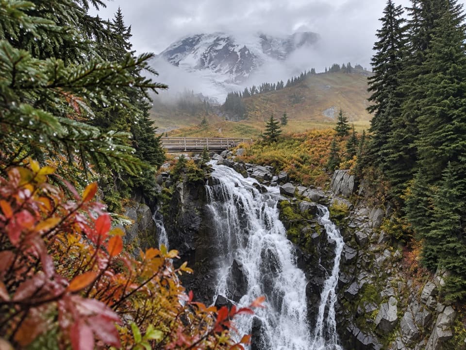
Summer brings subalpine flowers such as lupine, paintbrush, gentian and aster. In fall, low shrubs and vine maples turn red and gold across the open slopes. Hoary marmots are sometimes seen among the meadow rocks; give them room and do not feed them. The meadow is fragile, so keep to the tread even when snow covers a patch of trail.

Wildlife

Wildlife in Mount Rainier

All Mount Rainier wildlife maps

Sighting maps show where each species has been reported across Mount Rainier. Wildlife moves, so no sighting is guaranteed.

Keep exploring

Near Alta Vista Trail Loop

See it all on the map

Trails that start nearby

Places near the trailhead

Parkwolf’s Mount Rainier ranking

Top-rated trails in Mount Rainier

All 99 trails
  1. 1Wonderland TrailChallenging · 93 mi
  2. 2Skyline Trail LoopChallenging · 5.5 mi
  3. 3Mount Fremont Lookout TrailModerate · 5.6 mi
  4. 4Burroughs Mountain TrailModerate · 6.2 mi
  5. 5Summerland TrailModerate · 8.4 mi
  6. 6Naches Peak Loop TrailModerate · 3.5 mi

Take Parkwolf to Mount Rainier.

The audio tour guide for the drive, plus offline maps, trails, and wildlife heatmaps for when the signal drops.

4.7 from 8,600+ ratings

Download Parkwolf on the App StoreGet Parkwolf on Google Play