Parking
Start at the Tipsoo Lake parking area on SR 410, about 0.5 mile west of Chinook Pass. Parking can be limited during busy periods; seasonal vault toilets and picnic tables are near the lot. No food vendor or drinking-water refill was found.

#6 of 99 trails in Mount Rainier
Mount Rainier National Park, WA
Rainier leads the meadow return; Dewey Lake drops away on the PCT.
Overview
Map & elevation
Plan your hike

The highest, rockiest slopes around here are a summer buffet for grizzly bears.
Mount Rainier Tour Guide
Parkwolf is a GPS audio tour guide for Mount Rainier National Park. As you drive, it chimes in with what’s ahead: hidden gems, upcoming stops, history, geology, and wildlife, right through your car’s speakers.
See the Mount Rainier audio tourRecorded for this trailhead
Tipsoo Lake and Chinook's Trail Bridge“Up ahead is the Tipsoo Lake area near Chinook Pass, a good stop for a short lakeshore walk among the meadows.”
Plays as you drive up to this trailhead in the Parkwolf Mount Rainier Tour Guide.
More stories near here in the app
“Fantastic app with many points of information… It’s great to just turn on while you’re driving and it gives you an audio tour of the national Park. We love it!!!!”


Trail guide
Naches Peak Loop is a 3.5-mile circuit from Tipsoo Lake, using the park-side Naches Peak Trail and the Pacific Crest Trail around the east and north sides of Naches Peak. It reaches a high pass, a view down to Dewey Lake, and open alpine meadows with Mount Rainier ahead on the return. Allow 2 to 3 hours for the walk and its viewpoints. The park’s published gain is about 500 feet, though other route measurements come in higher. It feels like a short high-country hike rather than a level stroll: the north and east traverse is steep, and the loop stays above 5,000 feet. Go clockwise for Rainier on the meadow return.
Begin at the Tipsoo Lake parking area, about half a mile west of Chinook Pass on SR 410. From the picnic area, climb to the pass and cross the highway on the Chinook Entrance Arch, a historic wood-and-stone footbridge. The Pacific Crest Trail carries the loop onto adjacent forest land; the route later rejoins the park-side Naches Peak Trail. Parking can be limited at this popular stop, especially at busy times, so an early or late arrival or a weekday helps. Seasonal vault toilets and picnic tables are near the lot. There is no food vendor or drinking-water refill on the route.
After the arch, follow the PCT south along Naches Peak’s northeast side. The tread traverses a steep hillside above a small, lush valley, with high mountain ponds, subalpine forest and peaks to the north. A small lakelet appears along the way. The Dewey Lake viewpoint is the standout pause: the lake lies more than 600 feet below a smooth rock bench. It is a popular place to sit, eat or take in the view. At the junction beyond it, leave the PCT for the loop trail back toward Tipsoo; continuing on the PCT takes you downhill toward Dewey Lake rather than back to the start.
The return follows the drier southern slopes through open meadows. This is where the route’s view turns toward Mount Rainier, which fills the western horizon as you cross the meadowy slopes. The trail descends the western ridge, crosses SR 410 again at grade, then follows the shore of Tipsoo Lake to the parking area. That second crossing has no arch, so pause for traffic. For a photo with a sense of scale, include a piece of trail in the foreground with Rainier beyond; the Dewey overlook gives a different composition looking down to the lake.
Tipsoo Lake sits in a glacier-carved basin ringed by subalpine meadows. Blue lupine, white bistort and magenta paintbrush can peak in mid- to late July, though lingering snow can shift the bloom. Huckleberries ripen in late summer and early fall, and fall color begins in September. Snow can remain into June or July; SR 410 closes for winter, and vehicle access to Tipsoo is usually seasonal from June through October. Check road and trail conditions before driving up.
The last lakeside stretch has its own small-scale wildlife: look for tadpoles and frogs in the water and birds around the shore. Stay on the path to protect the fragile meadow plants; swimming and wading in Tipsoo Lake are not allowed. If you want a shorter outing, the easy paths around Tipsoo Lake give you a lakeshore and meadow walk without committing to the full loop.
Pets are not allowed on the park sections of the loop or around Tipsoo Lake. Leashed dogs are permitted only on the off-park PCT segment, so the complete circuit is not a dog-friendly route.
Wildlife
 466 sightingsMountain GoatMost seen around 6 AMSighting map
 383 sightingsBlack BearMost seen around 7 PMSighting map
 10 sightingsWolverineMost seen around 6 AMSighting map
 58 sightingsElkMost seen around 6 AMSighting map
 574 sightingsMule DeerMost seen around 6 AMSighting map
 1,853 sightingsHoary MarmotMost seen around 6 AMSighting map
Sighting maps show where each species has been reported across Mount Rainier. Wildlife moves, so no sighting is guaranteed.
Keep exploring
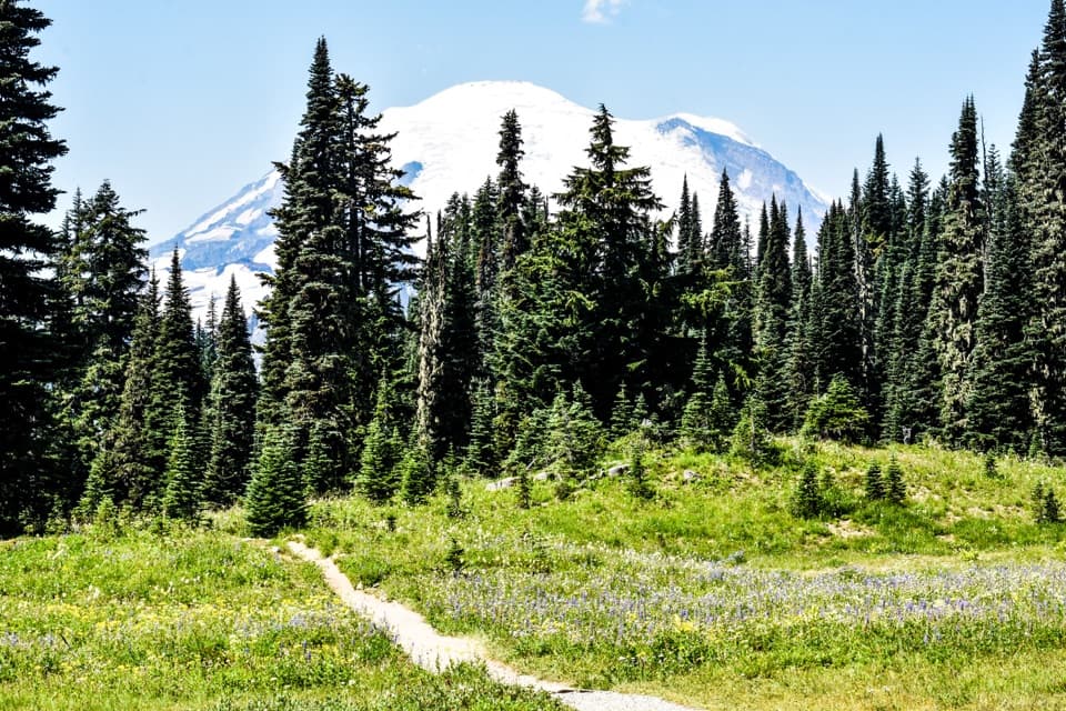 EasyTipsoo Lake Loop Trail0.7 mi · 30 min · At the trailheadAn easy alpine lap with wildflowers, lake views and Rainier.
 ModerateEastside Trail11.2 mi · 6.5 hr · At the trailheadMeadows, waterfalls, and old growth on a long mountain traverse.
 ModerateSheep Lake to Sourdough Gap Trail6.6 mi · 4 hr · 0.5 mi awayA lakeside pause before a steeper climb to a high saddle.
 ModerateDewey Lake via Chinook Pass6 mi · 4 hr · 0.5 mi awaySix miles on the PCT to Dewey Lake beneath Naches Peak.
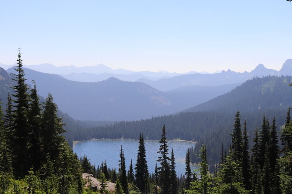 ModeratePacific Crest Trail: Chinook Pass to Laughingwater Creek Junction8.9 mi · 6 hr · 0.5 mi awayLakes, meadows and Rainier views reward this long PCT traverse.
 ModerateStafford Falls via Deer Creek3.6 mi · 2.5 hr · 2.5 mi awayBlue-green pools and a punch bowl after a steep forest drop.
 EasyDeer Creek Falls Trail0.8 mi · 45 min · 2.5 mi awayA short, steep forest walk to Deer Creek’s tiered falls.
 ChallengingCrystal Peak Trail8 mi · 6 hr · 3.9 mi awayHard climb, broad views, and a former lookout site above Crystal Lakes.
 Sight · 0.1 mi awayTipsoo LakeA short loop, wildflowers, and a chance at Rainier's reflection.
 Sight · 0.3 mi awayChinook Entrance ArchA 90-foot CCC gateway doubles as a Pacific Crest Trail crossing.Sight · 2.5 mi awayDeer Creek FallsA short downhill walk to a 60-foot gorge waterfall.
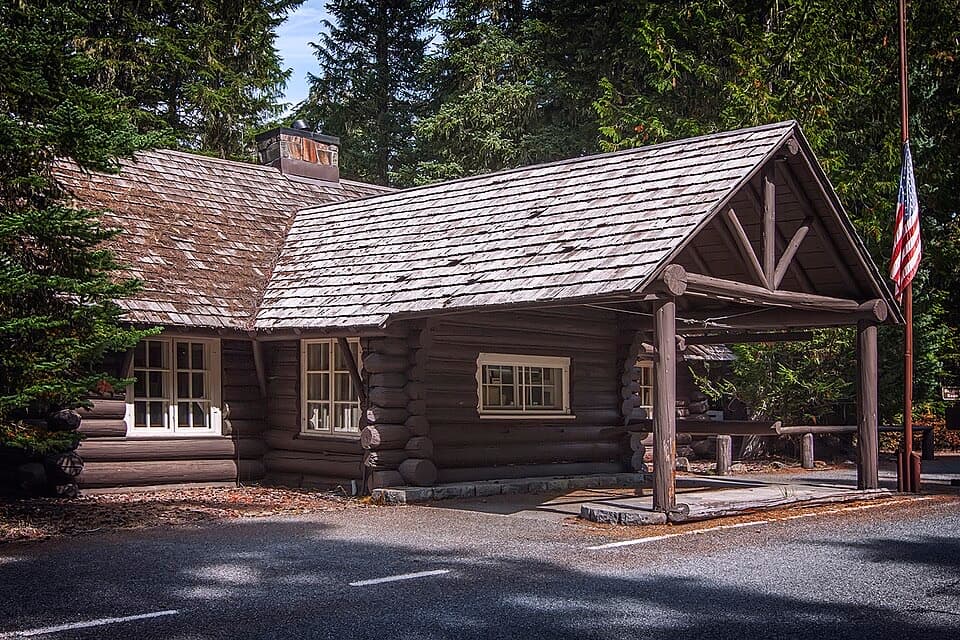 Visitor center · 3 mi awayWhite River Wilderness Information CenterGet permits, maps, and trail advice before heading toward Sunrise.
 Sight · 3.6 mi awayStafford FallsA blue-green waterfall hike with a steep climb back to the road.
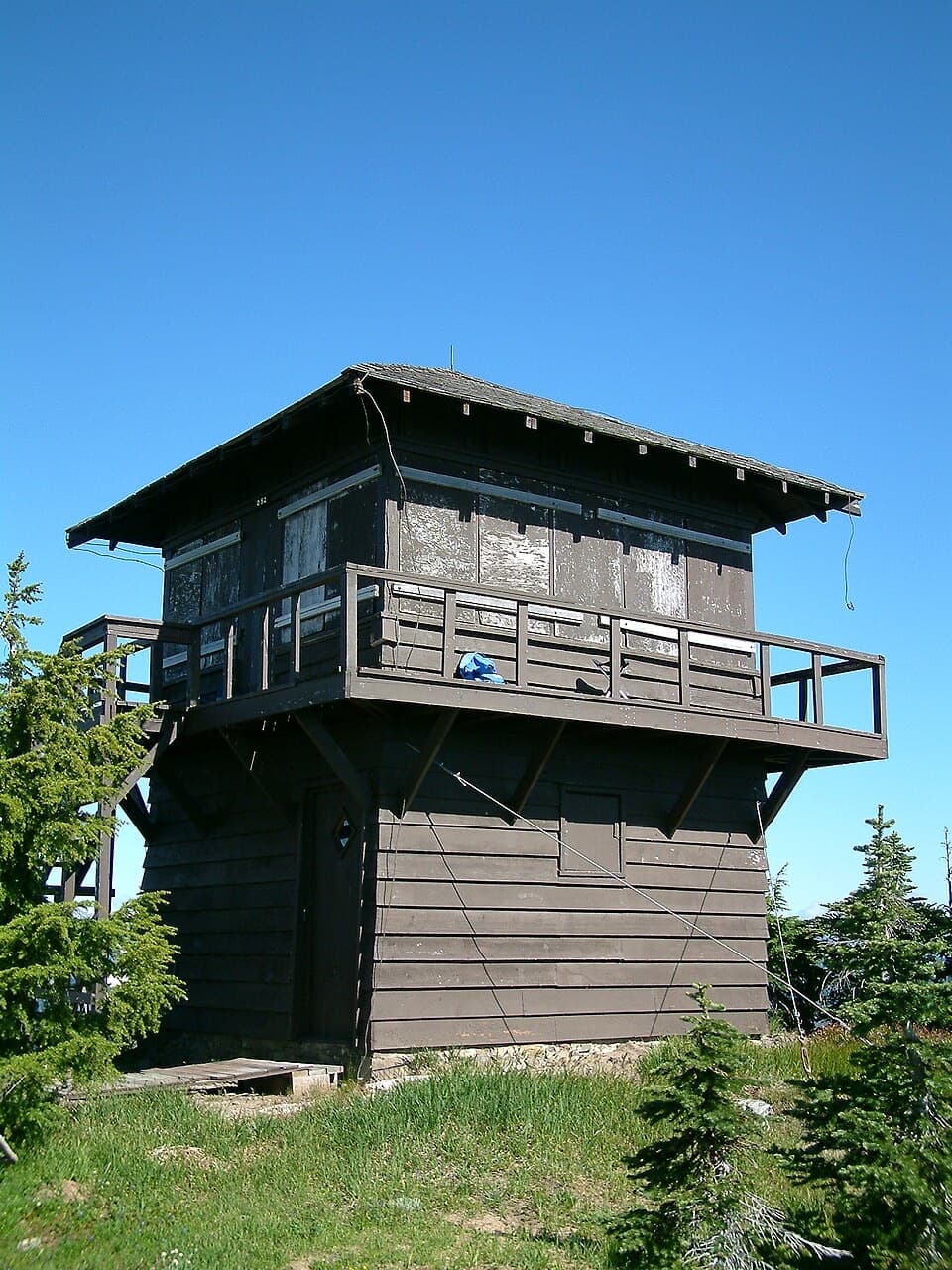 Sight · 3.8 mi awayShriner Peak Fire LookoutA 1932 lookout caps a steep hike to Rainier’s southeast panorama.
 Sight · 4 mi awaySunrise Road Columnar Rock FormationA roadside close-up of ancient lava columns and a glacier-built ridge.
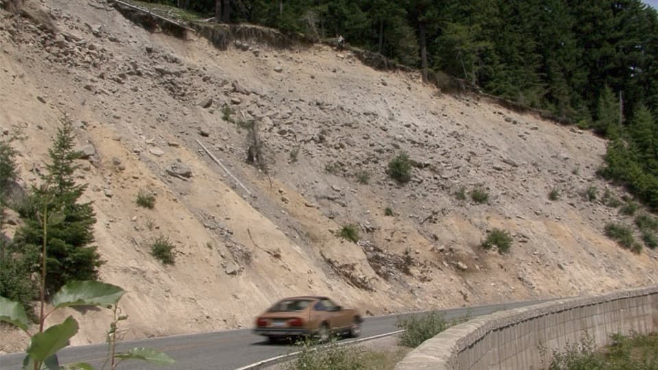 Scenic pullout · 4.1 mi awaySunrise Road PulloutA roadside geology stop for Rainier's volcanic layers and mudflow deposits.
Parkwolf’s Mount Rainier ranking

The audio tour guide for the drive, plus offline maps, trails, and wildlife heatmaps for when the signal drops.




