Parking
Start at the upper Sunrise parking lot and walk north to the Sourdough Ridge Trailhead. The upper lot holds about 350 vehicles; the approach is seasonal.
Mount Rainier National Park, WA
A rugged circuit through glacier valleys, high meadows, and deep forest.
Overview
Map & elevation
Plan your hike

The highest, rockiest slopes around here are a summer buffet for grizzly bears.
Mount Rainier Tour Guide
Parkwolf is a GPS audio tour guide for Mount Rainier National Park. As you drive, it chimes in with what’s ahead: hidden gems, upcoming stops, history, geology, and wildlife, right through your car’s speakers.
See the Mount Rainier audio tourRecorded for this trailhead
Sunrise: Walk to Emmons Vista“Sunrise is ahead, with the visitor center and day lodge at sixty-four hundred feet. For a short visit, I'd take the half-mile round trip to Emmons Vista and continue past the first overlook to the second.”
Plays as you drive up to this trailhead in the Parkwolf Mount Rainier Tour Guide.
More stories near here in the app
“Fantastic app with many points of information… It’s great to just turn on while you’re driving and it gives you an audio tour of the national Park. We love it!!!!”


Trail guide
From Sourdough Ridge Trailhead at Sunrise, the Northern Loop is a strenuous, 36.5-mile backpacking circuit across Mount Rainier’s north side. It joins the Wonderland Trail for the high western leg, then returns by the Northern Loop through Windy Gap, Lake James, Grand Park and Berkeley Park. Plan four to five days. A Carbon River start is listed at 45 miles because it adds the former roadbed to Ipsut Creek and a Wonderland Trail approach; use the distance for your chosen start, not a blend of the two.
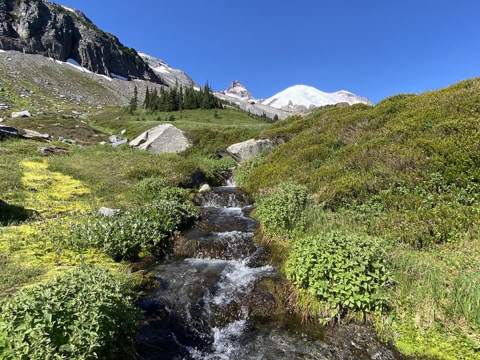
Begin north of the upper parking lot and follow Sourdough Ridge west past Frozen Lake, then stay on the Wonderland Trail toward Skyscraper Pass. The early miles are open and high, and the scenery changes noticeably at the pass: the rocky, sparsely vegetated Sunrise side gives way to greener slopes on the west. The pass is about four miles from the Sunrise access. Around Sunrise, wildflowers are usually strongest in mid-to-late July, with fall color beginning in September.
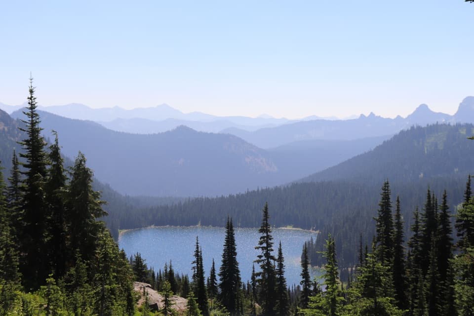
From Skyscraper Pass, the trail drops past Granite Creek Camp, crosses Winthrop Creek, then climbs across the north side of the mountain to Mystic Lake. The lake sits in a high basin below the surrounding ridges. On the descent toward the West Fork White River, the route passes close to Winthrop Glacier and follows its moraine, where the ice feels much larger than it does from a distant overlook. The trail bends around the south side of Mystic Lake, then drops through Moraine Park. That forested stretch is mostly gentle until the steeper section near Dick Creek Camp, before the Carbon River bridge.
After the bridge, switchbacks gain about 3,000 feet over roughly three and a half miles. The climb starts in cool forest and rises beneath Yellowstone Cliffs, with views opening toward Tyee Peak and the cliffs as you reach higher ground. This is a sustained effort with a full pack; the river valley is low, and the route climbs back into open country before it is done.
Windy Gap is the next high point, followed by a steep descent of about 1,400 feet in two miles to Lake James. A separate, unmaintained side path toward Natural Bridge adds 1.75 miles round trip; it is not part of the loop. From Lake James the route drops to the West Fork of the White River, then climbs again toward Fire Creek and Grand Park. The second major river crossing and the climb that follows make this section a real backcountry commitment.
The trail reaches the Grand Park junction before continuing through Berkeley Park, where subalpine meadow and streams replace the forest. After about a mile through the meadows, rejoin the Wonderland Trail and head east past Frozen Lake to close the loop at Sunrise. Take time in the open sections to look back across the route: Windy Gap gives views toward Tyee Peak and Yellowstone Cliffs, while the high meadows open toward the ridges around Old Desolate.
This is a wilderness backpacking trip. Overnight camps require a backcountry permit, including the camps at Ipsut Creek, Carbon River, Dick Creek, Mystic Lake, Granite Creek, Berkeley Park, Fire Creek, Lake James and Yellowstone Cliffs. There is no confirmed potable-water service along the route; treat natural water. Fires are prohibited in the wilderness, and pets are not allowed on trails. The Sunrise trailhead has restrooms, a day lodge and a visitor center, but food service is not a dependable trail supply.
Wildlife
 466 sightingsMountain GoatMost seen around 6 AMSighting map
 383 sightingsBlack BearMost seen around 7 PMSighting map
 10 sightingsWolverineMost seen around 6 AMSighting map
 58 sightingsElkMost seen around 6 AMSighting map
 574 sightingsMule DeerMost seen around 6 AMSighting map
 1,853 sightingsHoary MarmotMost seen around 6 AMSighting map
Sighting maps show where each species has been reported across Mount Rainier. Wildlife moves, so no sighting is guaranteed.
Keep exploring
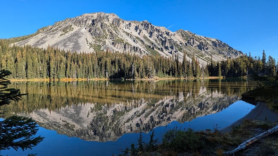 ChallengingMystic Lake Trail via Sunrise17.7 mi · 11 hr · 0.1 mi awayA long Wonderland walk to a lake between two glaciers.
 EasySunrise Nature Trail1.5 mi · 45 min · 0.2 mi awayA short climb buys Rainier and Cascade views in under an hour.
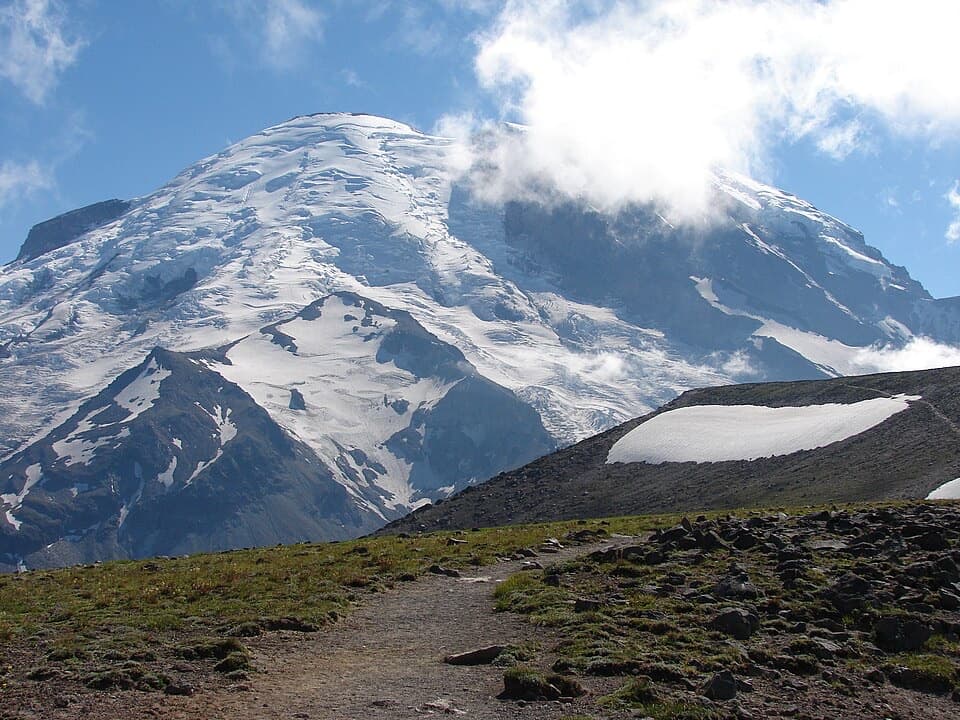 ModerateBurroughs Mountain Trail6.2 mi · 4.5 hr · 0.2 mi awayA high ridge walk puts Rainier and its glaciers front and center.
 ModerateSunrise Rim Trail Loop to First Burroughs4.7 mi · 3 hr · 0.2 mi awayHigh loop to First Burroughs, with Shadow Lake and Emmons Glacier.
 ModerateSourdough Ridge Trail West to Frozen Lake3 mi · 2 hr · 0.2 mi awayA short ridge walk with big Rainier views and a lake turnaround.
 ModerateMount Fremont Lookout Trail5.6 mi · 3.5 hr · 0.2 mi awayA rocky ridge climb to Rainier’s 1934 fire lookout.
 ModerateDege Peak via Sourdough Ridge Trail4.2 mi · 2.5 hr · 0.2 mi awayA short, open ridge walk to Dege Peak’s sweeping view.
 ModerateSkyscraper Pass Trail7.4 mi · 4.5 hr · 0.2 mi awayA rolling ridge walk to a sandy pass above alpine meadows.
 Picnic area · 0.1 mi awaySunrise Picnic AreaPack a lunch for a tree-lined picnic with clear-day Rainier views.
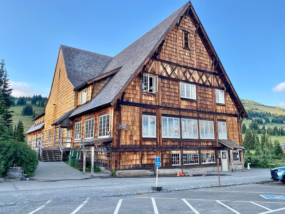 Food · 0.2 mi awaySunrise Day LodgeA 1931 timber lodge for coffee or ice cream after a hike.
 Visitor center · 0.2 mi awaySunrise Visitor CenterA historic alpine trail hub with glacier exhibits and Rainier views.
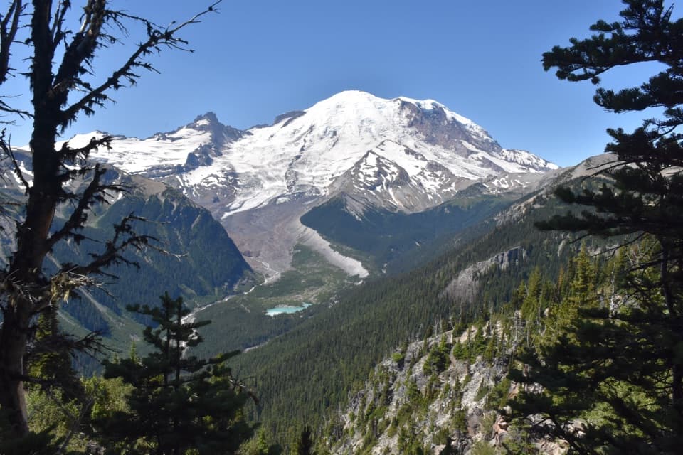 Sight · 0.3 mi awayEmmons Vista OverlooksA short meadow walk to Rainier’s biggest glacier.
 Scenic pullout · 0.9 mi awaySunrise Road White River ViewRainier and Adams rise above the White River Valley on Sunrise Road.
 Sight · 1 mi awayWhite River Patrol CabinA 500-foot walk to the White River area's oldest cabin.
 Campground · 1 mi awayWhite River CampgroundSunrise-area hikes start right from this wooded riverside camp.
 Picnic area · 1 mi awayWhite River Picnic AreaA wooded meal stop with eight grills and nearby trail access.
Parkwolf’s Mount Rainier ranking

The audio tour guide for the drive, plus offline maps, trails, and wildlife heatmaps for when the signal drops.