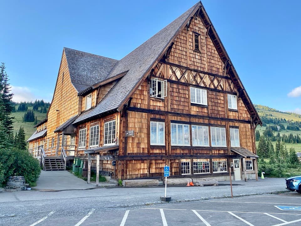
White River Picnic Area in Mount Rainier National Park

Picnic area · Mount Rainier National Park

White River Picnic Area

A wooded meal stop with eight grills and nearby trail access.

Photo: National Park Service
Type
Picnic area
Nearest trail
0.1 mi
Audio stories
6 nearby
  • Parking
  • Picnic tables
  • Restrooms
  • Trailhead

Hear the audio tour

White River: The Campground and Patrol Cabin

Overview

About White River Picnic Area

Why stop

  • Eight grills and tables make lunch easy on the Sunrise drive.

Heads up

  • Seasonal operation and no food service mean you need to plan ahead.

Map

Where it is

Loading the Mount Rainier map
Full map
Picnic areaWhite River Picnic Area46.90221, -121.64254
Keep this map with you offline in the Parkwolf app

Plan your stop

Before you go

7 active Mount Rainier alerts

  • ClosureWildfire closures in the northern parkGrand Park 2 and Wonderland Complex fire closures affect trails, backcountry camps, and Sunrise access; stay out of closed areas.Official details
  • ClosureSR 165 bridge closed: no public access to Carbon River or Mowich LakeThe SR 165 Carbon River/Fairfax Bridge is closed to vehicles, bicycles, and pedestrians; there is no public access or alternate route to Carbon River or Mowich Lake.Official details
See all 7 alerts
A park ranger sits on a dash-mounted phone, talking, as Parkwolf’s Tour Guide plays “Army Cutworm Moths: A Grizzly Bear Buffet” on Grand Loop Road below Dunraven Pass in Yellowstone
Parkwolf Tour GuideThe highest, rockiest slopes around here are a summer buffet for grizzly bears.

Mount Rainier Tour Guide

Your drive to White River Picnic Area, narrated.

Parkwolf is a GPS audio tour guide for Mount Rainier National Park. As you drive, it chimes in with what’s ahead: hidden gems, upcoming stops, history, geology, and wildlife, right through your car’s speakers.

See the Mount Rainier audio tour

Recorded for this place

White River: The Campground and Patrol Cabin
0:00 / 0:32
“White River Campground is ahead, a forested base beside the river below Sunrise. For a day visit, there's a separate picnic area, and the historic patrol cabin in Loop D is worth a short look.”

Plays as you drive up to White River Picnic Area in the Parkwolf Mount Rainier Tour Guide.

More stories near here in the app

  • Sunrise: Walk to Emmons Vista
  • Sunrise Road White River View: Rainier's Crater Rim
  • Beargrass Has No Seven-Year Clock
  • A Pika's Winter Haypile
  • 77 audio storiesacross Mount Rainier’s roads, triggered by GPS as you drive
  • Wildlife heatmapsfor Mountain Goat, Black Bear, Wolverine, and 13 more
  • Works offlinemaps, 99 trails, 87 places, and audio download before you lose signal
  • CarPlay readysimple controls built for the drive
★★★★★
“Fantastic app with many points of information… It’s great to just turn on while you’re driving and it gives you an audio tour of the national Park. We love it!!!!”
JMJamesApp Store review
Download Parkwolf on the App StoreGet Parkwolf on Google Play

4.7 from 8,600+ ratings

Guide

More about White River Picnic Area

A practical stop on the Sunrise roadWhite River Picnic Area is a wooded day-use picnic spot on Mount Rainier's northeast side,…

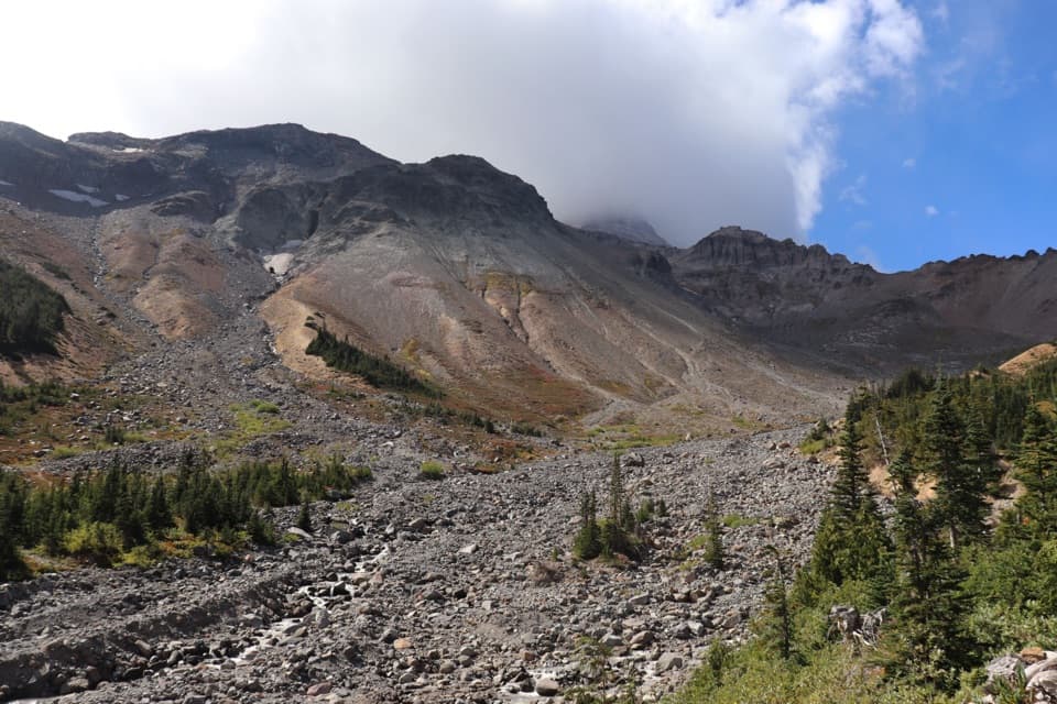
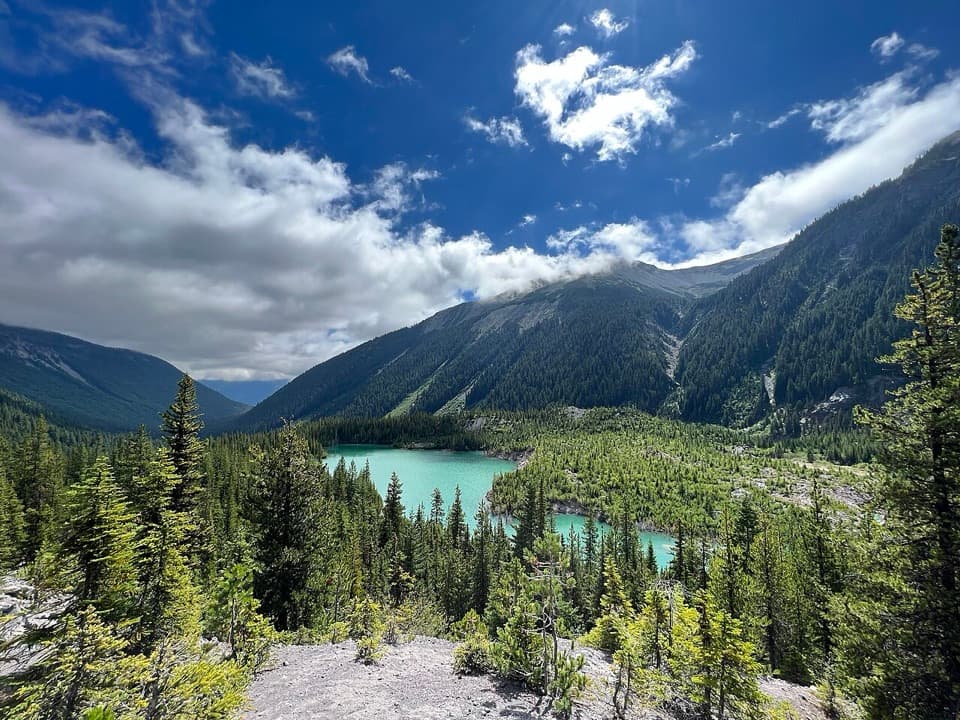
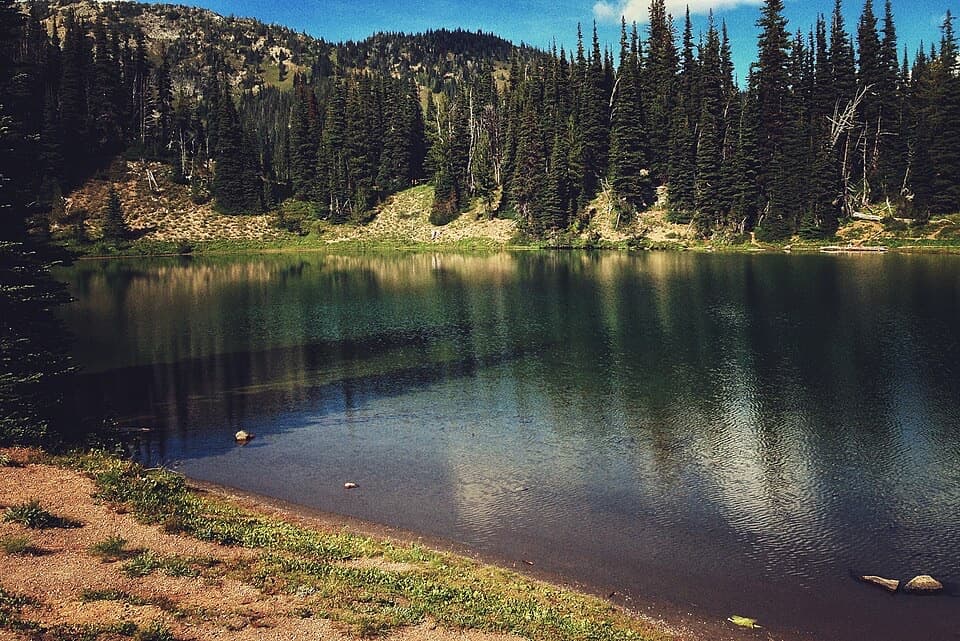
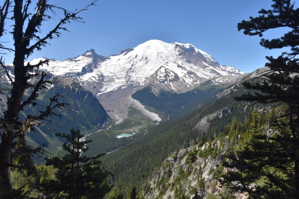
White River Picnic Area is a wooded day-use picnic spot on Mount Rainier's northeast side, along the road toward Sunrise. Keep it in mind for a meal break or a pause before a nearby hike, rather than as a major attraction on its own. Eight picnic tables and eight grills are spread through the trees; most tables are set apart and fit groups of about six. The parking lot holds roughly 50 vehicles. This is separate from the adjacent White River Campground, which is for overnight stays.

Make the stop workBring your own food; the site is set up for picnics, not food service.

Bring your own food; the site is set up for picnics, not food service. Potable water and a bottle-filling station are near the restrooms. Some tables closest to the lot are wheelchair accessible, and a paved path reaches the restrooms and water faucets, though the site has no designated accessible parking spaces. Farther tables sit along a dirt path toward the Wonderland Trail trailhead. Fires are allowed only in the installed grills, subject to any park fire restrictions.

The picnic area typically operates from late June to late September, depending on weather and road conditions. From White River Entrance, follow White River Road about 5.3 miles west. At the Sunrise junction, take the road beside the river toward the campground, then continue past its loops to the picnic lot on the left.

A long history of gathering hereThe wider White River area has a much longer human history: evidence points to Indigenous use…

The wider White River area has a much longer human history: evidence points to Indigenous use for at least 7,000 years. European American miners came about 200 years ago looking for copper, gold, and silver, but mining prospects failed and recreation took hold instead. A concessionaire developed a campground here in 1921; the park took over its camping operations by 1925. In the 1930s, the Civilian Conservation Corps redeveloped the public campground and picnic area.

Wildlife

Wildlife in Mount Rainier

All Mount Rainier wildlife maps

Sighting maps show where each species has been reported across Mount Rainier. Wildlife moves, so no sighting is guaranteed.

Keep exploring

Near White River Picnic Area

See it all on the map

Trails nearby

More stops nearby

Parkwolf’s Mount Rainier ranking

Top sights in Mount Rainier

All 87 places
  1. 1Reflection LakesSight
  2. 2Myrtle FallsSight
  3. 3Panorama PointSight
  4. 4Narada FallsSight
  5. 5Tipsoo LakeSight
  6. 6Sunrise Point OverlookSight

Take Parkwolf to Mount Rainier.

The audio tour guide for the drive, plus offline maps, trails, and wildlife heatmaps for when the signal drops.

4.7 from 8,600+ ratings

Download Parkwolf on the App StoreGet Parkwolf on Google Play