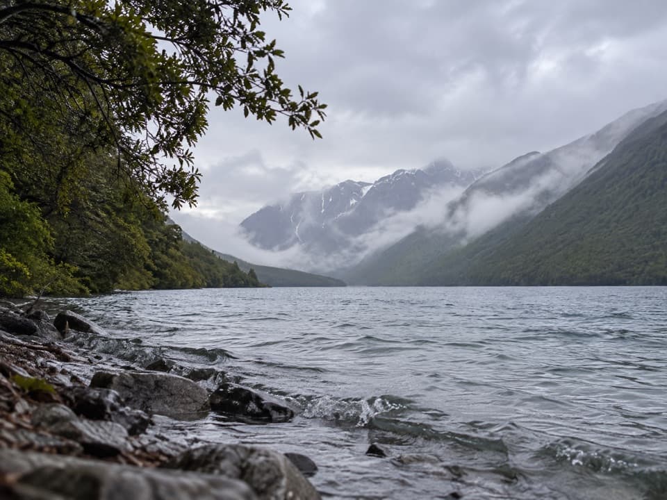
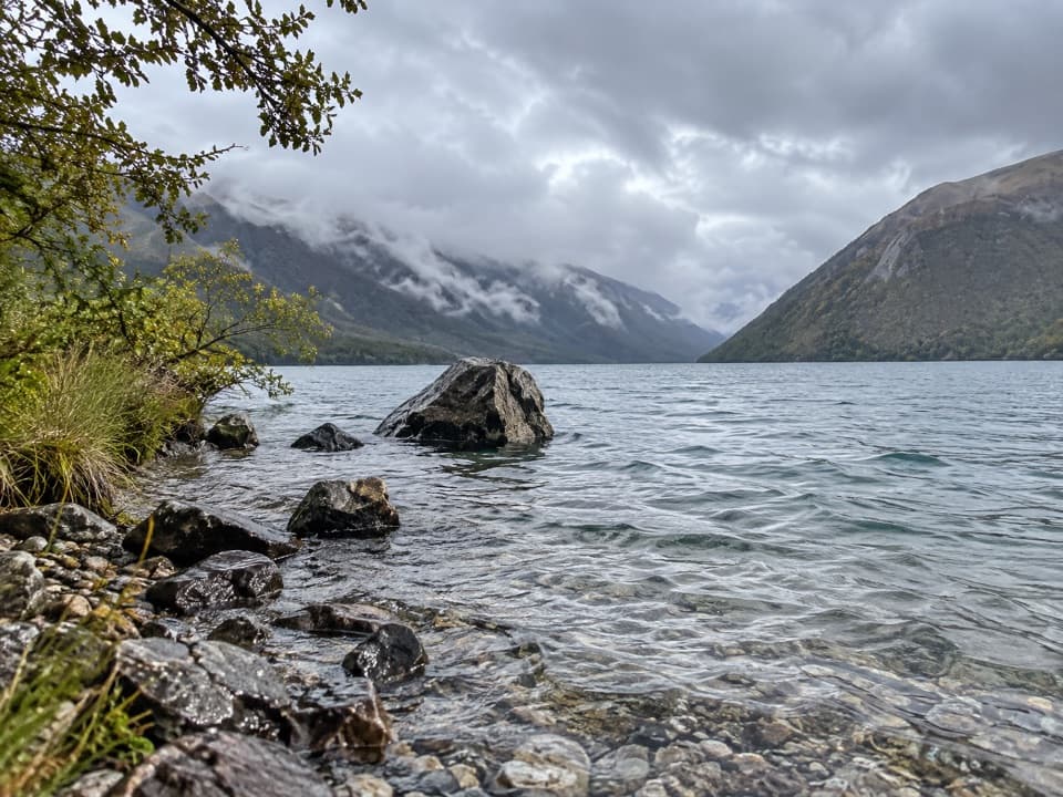
Black Valley Walk in Nelson Lakes National Park

Nelson Lakes National Park, TM

Black Valley Walk

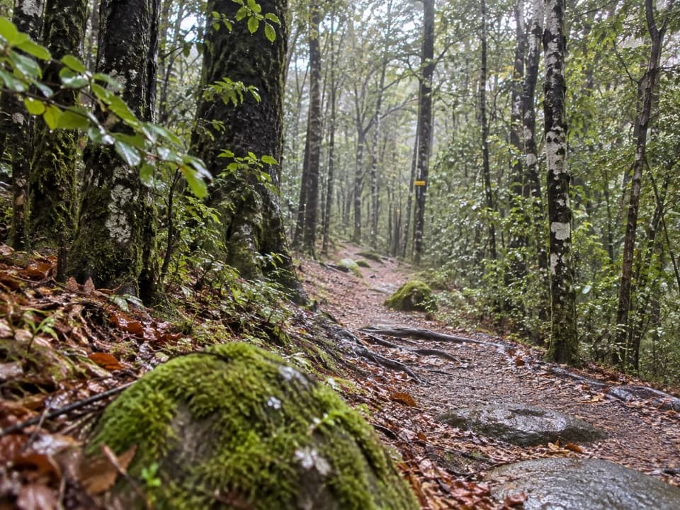
Follow a beech-forest stream between the lake and St Arnaud.

Length
0.8km
Time
30min
Elev. change
17m
Difficulty
Easy
  • No dogs
  • High point 643 m

Hear the audio tour

Kerr Bay and Lake Rotoiti

Overview

About Black Valley Walk

Why go

  • A quick streamside beech-forest connection between Kerr Bay and St Arnaud.
  • Glacial rubble banks and possum guards give the short walk specific things to notice.

Heads up

  • It is one way unless you retrace the path or continue into the village.

Map & elevation

The route

Loading the Nelson Lakes map
Full map
Elevation626–643 m
TrailheadBlack Valley Walk access, Kerr Bay Campsite-41.80616, 172.84604
Keep this map with you offline in the Parkwolf app

Plan your hike

Before you go

Parking

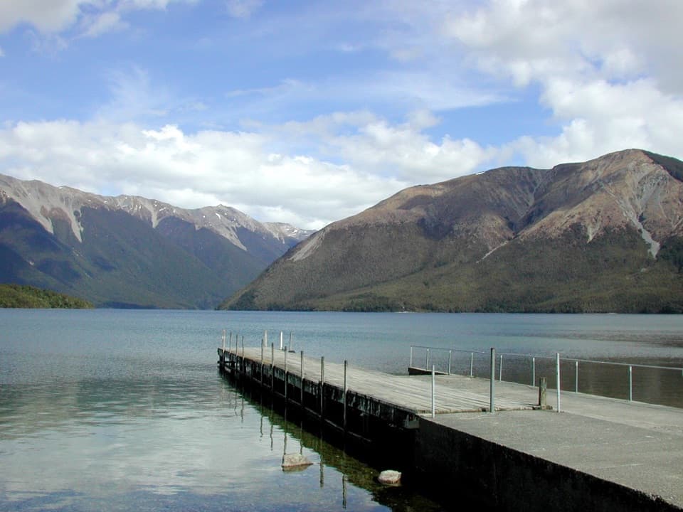
From SH63 in St Arnaud, turn onto Kerr Bay Road and follow it to the lake. Use the lakeside parking beside the jetties; the eastern end is beside Kerr Bay Campsite and the information board. The walk continues toward the village, so plan how you will return.

Safety

Not wheelchair-friendly. Steep stream banks lie beside the route; stay on the established path.

3 active Nelson Lakes alerts

  • ClosureRotoroa Route permanently closedThe Rotoroa Route is permanently closed along the eastern side of Lake Rotoroa between Rotoroa village and Sabine Hut.Official details
  • CautionUnbridged stream between Sabine and D’Urville hutsThe bridge on the track between Sabine Hut and D’Urville Hut has been removed; trampers must cross an unbridged stream at GR E1571366 N5359831.Official details
See all 3 alerts
A park ranger sits on a dash-mounted phone, talking, as Parkwolf’s Tour Guide plays “Army Cutworm Moths: A Grizzly Bear Buffet” on Grand Loop Road below Dunraven Pass in Yellowstone
Parkwolf Tour GuideThe highest, rockiest slopes around here are a summer buffet for grizzly bears.

Nelson Lakes Tour Guide

Your drive to Black Valley Walk, narrated.

Parkwolf is a GPS audio tour guide for Nelson Lakes National Park. As you drive, it chimes in with what’s ahead: hidden gems, upcoming stops, history, geology, and wildlife, right through your car’s speakers.

Recorded for this trailhead

Kerr Bay and Lake Rotoiti
0:00 / 0:27
“You're approaching Kerr Bay, an easy place to get down to Lake Rotoiti without taking on a hike.”

Plays as you drive up to this trailhead in the Parkwolf Nelson Lakes Tour Guide.

More stories near here in the app

  • Nelson Lakes Visitor Centre
  • St Arnaud: Food and Village Stops
  • Lodge Road and Black Hill Walk
  • Teetotal Campsite and Duck Pond
  • 26 audio storiesacross Nelson Lakes’s roads, triggered by GPS as you drive
  • Wildlife heatmapsfor New Zealand Falcon, Weka, Kererū, and 13 more
  • Works offlinemaps, 57 trails, 47 places, and audio download before you lose signal
  • CarPlay readysimple controls built for the drive
★★★★★
“Fantastic app with many points of information… It’s great to just turn on while you’re driving and it gives you an audio tour of the national Park. We love it!!!!”
JMJamesApp Store review
Download Parkwolf on the App StoreGet Parkwolf on Google Play

4.7 from 8,600+ ratings

Trail guide

Hiking Black Valley Walk

A short link between lake and villageBlack Valley Walk is an 800 m one-way path (about 0.

Black Valley Walk is an 800 m one-way path (about 0.5 mi) from Kerr Bay Campsite toward St Arnaud, taking around 30 minutes. It follows Black Valley Stream through beech forest beside SH63. This is a short connector rather than a loop; walk back the same way if you need to return to the campsite. Several village-side access points connect with town, so follow local signs if you need a particular exit.

Follow the streamThe path stays close to Black Valley Stream.

The path stays close to Black Valley Stream. In places, the stream has cut steep banks through a jumble of rocks and sand left by past glaciers. The route is described as easy, but it is not wheelchair-friendly; detailed surface and grade information is limited.

Look up into the beech canopySome beech trunks have metal bands around them.

Some beech trunks have metal bands around them. They stop possums climbing up to the canopy, where they would eat the beech mistletoe. The bands are a visible reminder that this short village walk passes through an actively protected forest.

Access and limitsStart from Kerr Bay Campsite on Kerr Bay Road, then continue toward the village or retrace the…

Start from Kerr Bay Campsite on Kerr Bay Road, then continue toward the village or retrace the walk to the lake. The village exits are described in several ways, so check the signs if you are aiming for a particular street. Dogs are not allowed on the track.

Wildlife

Wildlife in Nelson Lakes

All Nelson Lakes wildlife maps

Sighting maps show where each species has been reported across Nelson Lakes. Wildlife moves, so no sighting is guaranteed.

Keep exploring

Near Black Valley Walk

See it all on the map

Trails that start nearby

Places near the trailhead

Parkwolf’s Nelson Lakes ranking

Top-rated trails in Nelson Lakes

All 57 trails
  1. 1Mount Robert CircuitChallenging · 9 km
  2. 2Angelus Hut via Pinchgut Track and Robert Ridge RouteChallenging · 12.2 km
  3. 3St Arnaud Range TrackChallenging · 10 km
  4. 4Rotomairewhenua/Blue Lake TrackChallenging · 15.4 km
  5. 5Travers-Sabine CircuitChallenging · 80 km
  6. 6Lake Rotoiti CircuitChallenging · 23.4 km

Take Parkwolf to Nelson Lakes.

The audio tour guide for the drive, plus offline maps, trails, and wildlife heatmaps for when the signal drops.

4.7 from 8,600+ ratings

Download Parkwolf on the App StoreGet Parkwolf on Google Play