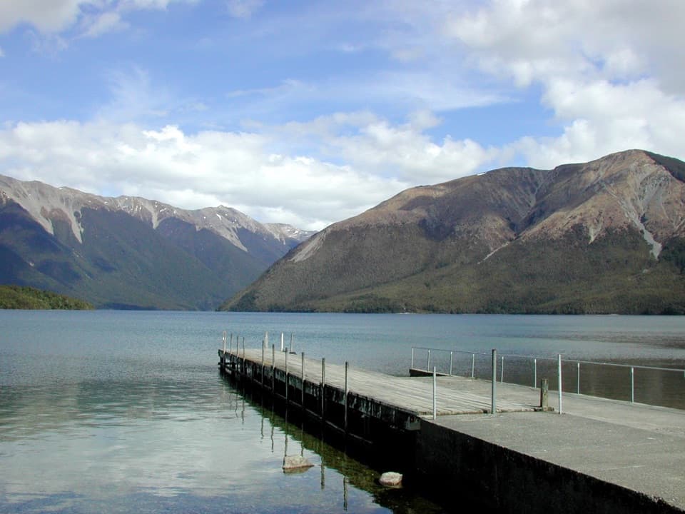
West Bay, Lake Rotoiti in Nelson Lakes National Park

#8 of 15 sights in Nelson Lakes

Sight · Nelson Lakes National Park

West Bay, Lake Rotoiti

Short walks lead from lake views to glacier-shaped ponds.

Photo: Public Domain
Type
Sight
Nearest trail
0.6 km
Audio stories
10 nearby
  • Trailhead
  • Scenic viewpoint

Hear the audio tour

West Bay, Lake Rotoiti

Overview

About West Bay, Lake Rotoiti

Why stop

  • Moraine and kettle ponds add a geological payoff beyond the lake edge.

Heads up

  • Public day-use parking and shore facilities are not clearly documented.

Map

Where it is

Loading the Nelson Lakes map
Full map
SightWest Bay, Lake Rotoiti-41.80154, 172.82878
Keep this map with you offline in the Parkwolf app

Plan your stop

Before you go

3 active Nelson Lakes alerts

  • ClosureRotoroa Route permanently closedThe Rotoroa Route is permanently closed along the eastern side of Lake Rotoroa between Rotoroa village and Sabine Hut.Official details
  • CautionUnbridged stream between Sabine and D’Urville hutsThe bridge on the track between Sabine Hut and D’Urville Hut has been removed; trampers must cross an unbridged stream at GR E1571366 N5359831.Official details

See all 3 alerts
A park ranger sits on a dash-mounted phone, talking, as Parkwolf’s Tour Guide plays “Army Cutworm Moths: A Grizzly Bear Buffet” on Grand Loop Road below Dunraven Pass in Yellowstone
Parkwolf Tour GuideThe highest, rockiest slopes around here are a summer buffet for grizzly bears.

Nelson Lakes Tour Guide

Your drive to West Bay, Lake Rotoiti, narrated.

Parkwolf is a GPS audio tour guide for Nelson Lakes National Park. As you drive, it chimes in with what’s ahead: hidden gems, upcoming stops, history, geology, and wildlife, right through your car’s speakers.

Recorded for this place

West Bay, Lake Rotoiti
0:00 / 0:29
“West Bay is coming up, a place to enjoy Lake Rotoiti's mountain-backed shore without committing to a long hike.”

Plays as you drive up to West Bay, Lake Rotoiti in the Parkwolf Nelson Lakes Tour Guide.

More stories near here in the app

  • Buller Bridge and Anglers Walk
  • Lodge Road and Black Hill Walk
  • Teetotal Campsite and Duck Pond
  • Nelson Lakes Visitor Centre
  • 26 audio storiesacross Nelson Lakes’s roads, triggered by GPS as you drive
  • Wildlife heatmapsfor New Zealand Falcon, Weka, Kererū, and 13 more
  • Works offlinemaps, 57 trails, 47 places, and audio download before you lose signal
  • CarPlay readysimple controls built for the drive
★★★★★
“Fantastic app with many points of information… It’s great to just turn on while you’re driving and it gives you an audio tour of the national Park. We love it!!!!”
JMJamesApp Store review
Download Parkwolf on the App StoreGet Parkwolf on Google Play

4.7 from 8,600+ ratings

Guide

More about West Bay, Lake Rotoiti

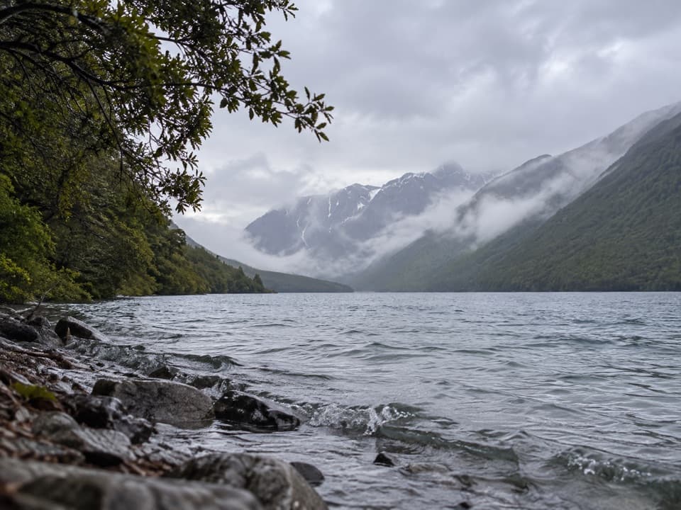
A lakeside stop with room to exploreWest Bay is a named bay on Lake Rotoiti’s western shore, about 3 km from St Arnaud by road.

West Bay is a named bay on Lake Rotoiti’s western shore, about 3 km from St Arnaud by road. Come for the mountain-backed lake edge, or give it longer for the short walks through the surrounding glacial landscape. A boat ramp sits nearby, but the natural bay and the campground are different parts of the West Bay area.

Getting to the waterFrom SH 63, take Mount Robert Road west of St Arnaud.

From SH 63, take Mount Robert Road west of St Arnaud. The West Bay area is roughly 3 km from the village by road, and there is a nearby boat-launch ramp. No food service is identified here. Public day-use parking and access to the campground’s toilets or water are not clearly documented, so bring food and drinking water and do not count on campground facilities being open to shore visitors.

Walk beyond the shorelineThe West Bay walks range from easy to intermediate and take about an hour to 90 minutes.

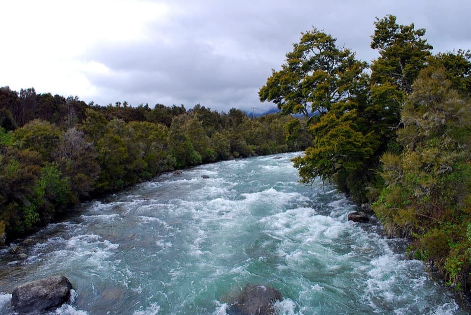
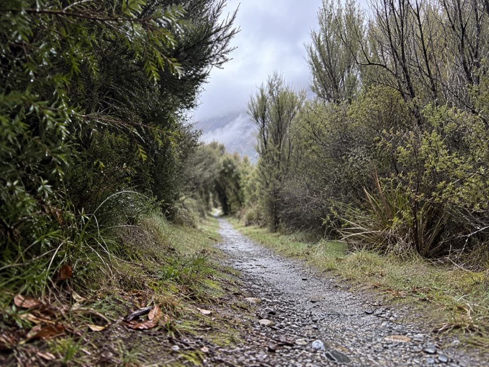
The West Bay walks range from easy to intermediate and take about an hour to 90 minutes. Moraine Walk passes behind the campground toward the Buller River; Anglers Walk follows the river’s north bank, where there are trout fishing spots. Dogs are not allowed on these walks. Sandflies can be troublesome in summer, and wasps are more common from December through April; carry repellent and keep food covered.

The glacier’s leftoversThe Travers Glacier shaped the Lake Rotoiti valley roughly 20,000 to 12,000 years ago.

The Travers Glacier shaped the Lake Rotoiti valley roughly 20,000 to 12,000 years ago. On Moraine Walk, gravel piles left by the glacier and kettle ponds formed as buried ice blocks melted make that history visible underfoot. The small ponds are easy to miss if you stay only at the water’s edge, so allow time to follow the walk.

A Māori story of the lakesNgāti Rārua and Ngāti Tama traditions connect Rotoiti and Rotoroa with Rākaihautū of the Uruao…

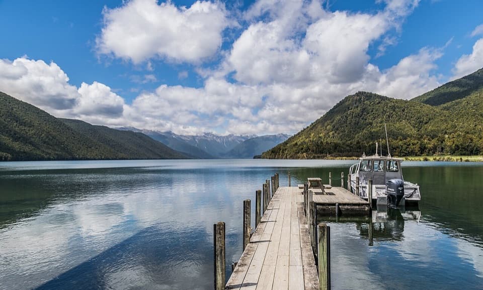
Ngāti Rārua and Ngāti Tama traditions connect Rotoiti and Rotoroa with Rākaihautū of the Uruao waka. In the story, he dug three great trenches near the Buller with his kō; the hollows filled to become Rotoiti, Rotoroa and Rangatahi, now Lake Tennyson. The lakes were also waterways, food sources and routes linking iwi communities. At the jetty, use its line as a foreground leading into the mountain-backed lake.

Wildlife

Wildlife in Nelson Lakes

All Nelson Lakes wildlife maps

Sighting maps show where each species has been reported across Nelson Lakes. Wildlife moves, so no sighting is guaranteed.

Keep exploring

Near West Bay, Lake Rotoiti

See it all on the map

Trails nearby

More stops nearby

Parkwolf’s Nelson Lakes ranking

Top sights in Nelson Lakes

All 47 places
  1. 1Lake Rotoiti – Kerr Bay and JettySight
  2. 2Rotomairewhenua / Blue LakeSight
  3. 3Lake Rotoroa – Foreshore and JettySight
  4. 4Rotomaninitua / Lake AngelusSight
  5. 5Rotopōhueroa / Lake ConstanceSight
  6. 6Whisky FallsSight

Take Parkwolf to Nelson Lakes.

The audio tour guide for the drive, plus offline maps, trails, and wildlife heatmaps for when the signal drops.

4.7 from 8,600+ ratings

Download Parkwolf on the App StoreGet Parkwolf on Google Play