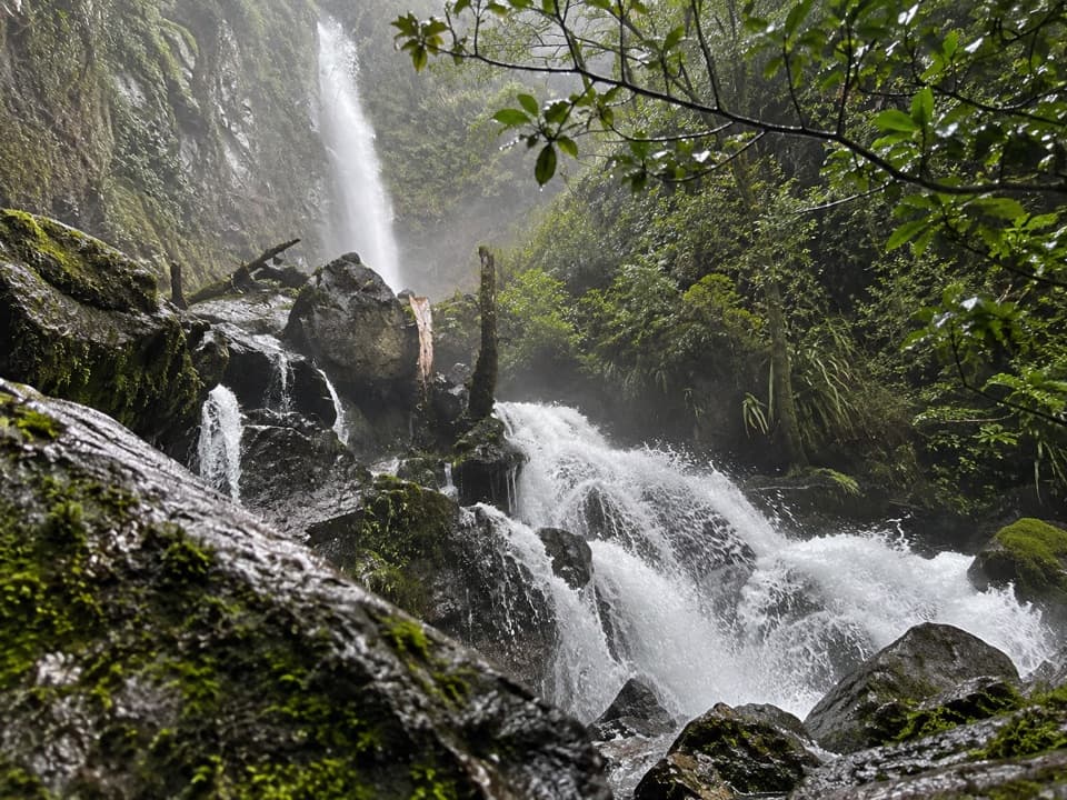
Parking
No road or parking access at the West Branch Sabine swing bridge. The shortest approach is a water taxi from Lake Rotoroa Jetty to Sabine Hut, then about five hours on foot to West Sabine Hut. From St Arnaud, plan at least four days return.

#4 of 57 trails in Nelson Lakes
Nelson Lakes National Park, TM
The clearest water comes after a long, serious alpine climb.
Overview
Map & elevation
Plan your hike

The highest, rockiest slopes around here are a summer buffet for grizzly bears.
Nelson Lakes Tour Guide
Parkwolf is a GPS audio tour guide for Nelson Lakes National Park. As you drive, it chimes in with what’s ahead: hidden gems, upcoming stops, history, geology, and wildlife, right through your car’s speakers.
“Fantastic app with many points of information… It’s great to just turn on while you’re driving and it gives you an audio tour of the national Park. We love it!!!!”


Trail guide
Rotomairewhenua/Blue Lake Track is a remote out-and-back from the West Branch Sabine swing bridge to Blue Lake Hut; the lake shore is a short walk beyond the hut. The official route figure is 7.7 km (4.8 mi) each way, about 15.4 km (9.6 mi) return, and the side trip takes about seven hours of walking. A mapped line measures roughly 7 km each way, so published distances vary; the total here follows the official figure. This is not a day walk from St Arnaud: plan at least four days return from there. The shorter approach is a water taxi from Lake Rotoroa Jetty to Sabine Hut, then about five hours on foot to West Sabine Hut before this trip starts. Plan it as part of a multiday tramp and book Blue Lake Hut if you intend to stay; it has 16 bunks and requires reservations.
From the swing bridge, head upstream. For about the first 90 minutes, the track follows the Sabine valley. The valley opens out and the route passes through forest destroyed by an avalanche in 1980, a stark reminder of the terrain. Then it climbs steeply in two stages into a high basin. Expect a backcountry mix of bush, tussock, rock, scree and stream crossings, with a sustained climb rather than a smooth, groomed path. Follow the Blue Lake direction at the bridge junction instead of drifting onto the route toward Travers Saddle. DOC classifies the surrounding tramping circuit as advanced.
Blue Lake Hut sits at 1,190 m, close to the shore. Rotomairewhenua means “land of peaceful waters”; the lake is sacred to Ngāti Apa ki te Rā Tō and was traditionally used in cleansing ceremonies. Its famous clarity comes from water filtered through landslide debris on its way from Lake Constance. Take time to look from the shore: the clear blue-green water, beech forest and steep peaks make the high basin feel very different from the river valley below. Keep the lake pristine: do not touch, swim, wash, take water from it or put equipment in the water. DOC permits swimming and filling bottles in the Sabine River below the outlet instead. For a photo, frame the transparent shallows with forest and the mountain slopes behind them, from dry ground.
This is a remote alpine tramp with marked avalanche paths. Do not stop between avalanche signs, and check DOC’s current avalanche and track advice before setting out. Freezing conditions can occur year round, and heavy rain can make stream crossings unsafe. There is no road access to the swing bridge and no parking there; the route starts on foot from West Sabine Hut. The Blue Lake Hut stay requires a booking and seasonal fees apply. No food service was found along this route, so carry what you need for the approach and overnight stay. Dogs are not allowed.
Wildlife
 20 sightingsNew Zealand FalconMost seen around 9 AMSighting map
 39 sightingsWekaMost seen around 7 AMSighting map
 11 sightingsKererūMost seen around 9 AMSighting map
 55 sightingsBlack SwanMost seen around 8 AMSighting map
 23 sightingsParadise ShelduckMost seen around 6 AMSighting map
 17 sightingsTūīMost seen around 7 AMSighting map
Sighting maps show where each species has been reported across Nelson Lakes. Wildlife moves, so no sighting is guaranteed.
Keep exploring
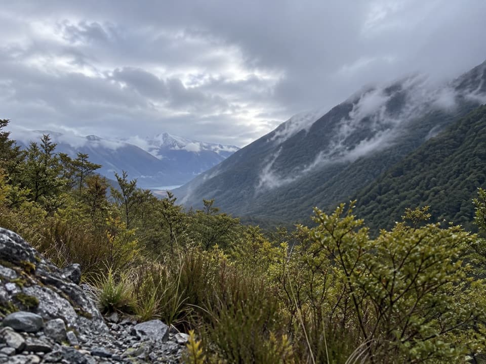 ModerateSabine Track15 km · 6 hr · 0.1 km awayOpen flats, a river gorge and a hut above Lake Rotoroa.
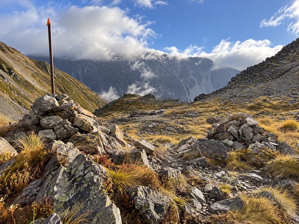 ChallengingPoukirikiri/Travers Saddle Route8.4 km · 7.5 hr · 5.7 km awayAn alpine pass links two remote valleys in one demanding day.
 ChallengingRainbow Pass from Upper Travers Hut6.1 km · 5.5 hr · 5.7 km awayA steep hut-to-pass return with tarn reflections and a high alpine finish.
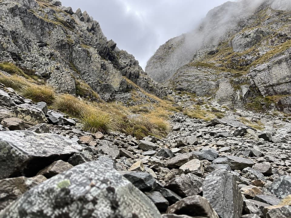 ChallengingMoss Pass Route6.6 km · 6 hr · 6.1 km awayA steep rocky pass opens views into two remote valleys.
 ChallengingWaiau Pass Route16.7 km · 11.5 hr · 6.1 km awayA remote, expert alpine crossing over Waiau Pass.
 ChallengingRotopōhueroa/Lake Constance Track5.6 km · 5 hr · 6.1 km awayA steep moraine climb to a sacred alpine lake.
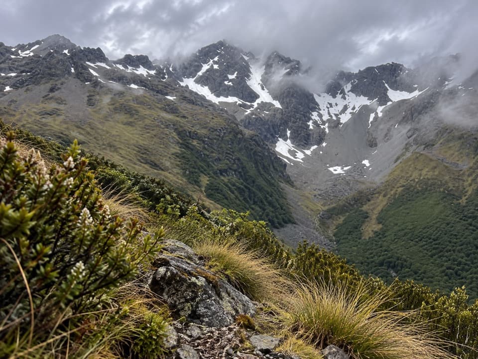 ChallengingCupola Track8.4 km · 5 hr · 8 km awayA steep backcountry climb to a high hut and Mount Hopeless views.
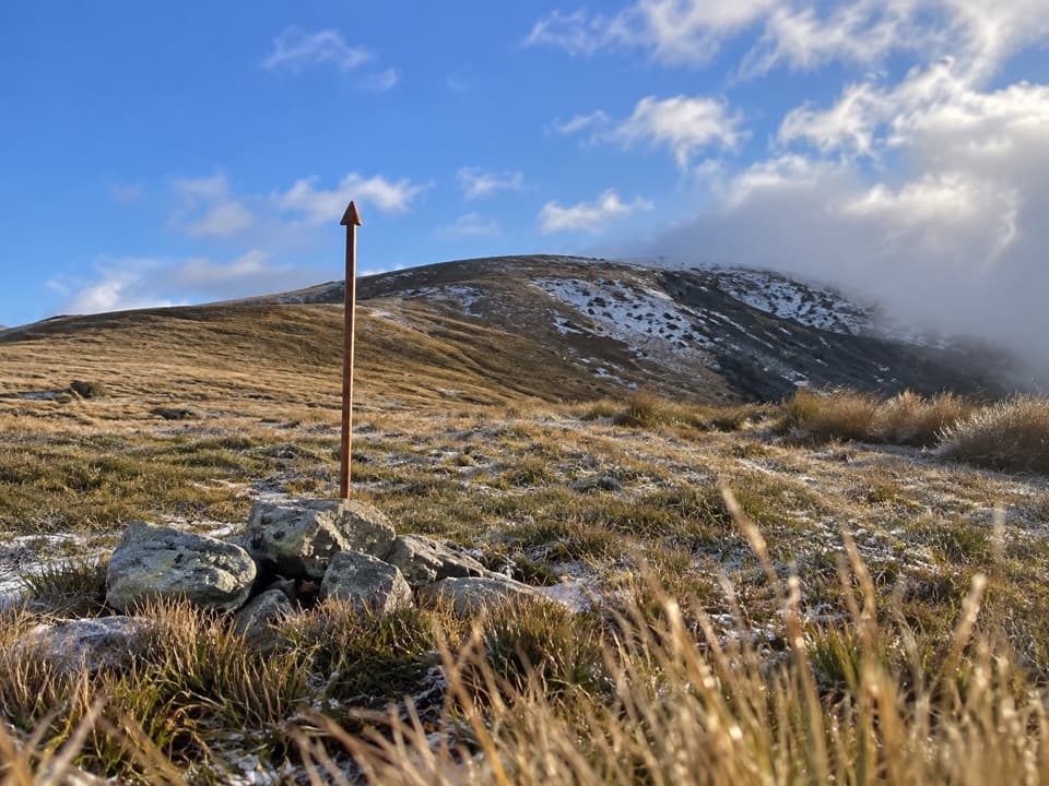 ChallengingMole Saddle–Tiraumea Track5.8 km · 4 hr · 10.3 km awayAn undulating ridge walk down to a backcountry hut.
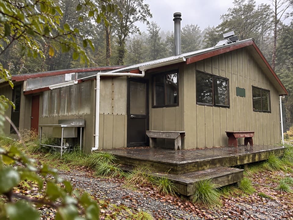 Lodging · 0.1 km awayWest Sabine HutA warm, 30-bunk stop on the high Travers–Sabine Circuit
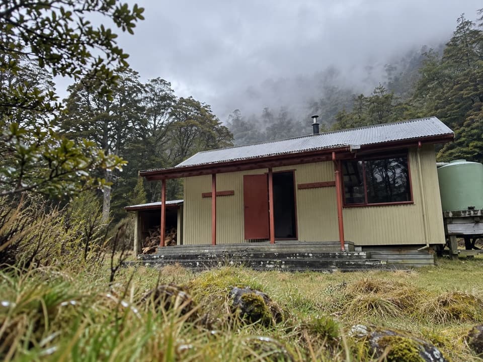 Lodging · 5.1 km awayMorgan HutAn overnight stop between two four-hour legs in the D’Urville Valley.
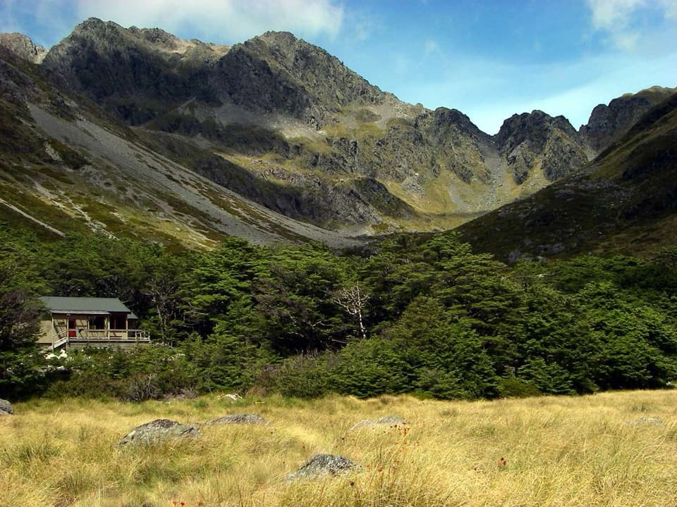 Lodging · 5.7 km awayUpper Travers HutSleep below Mount Travers on this demanding multi-day circuit.
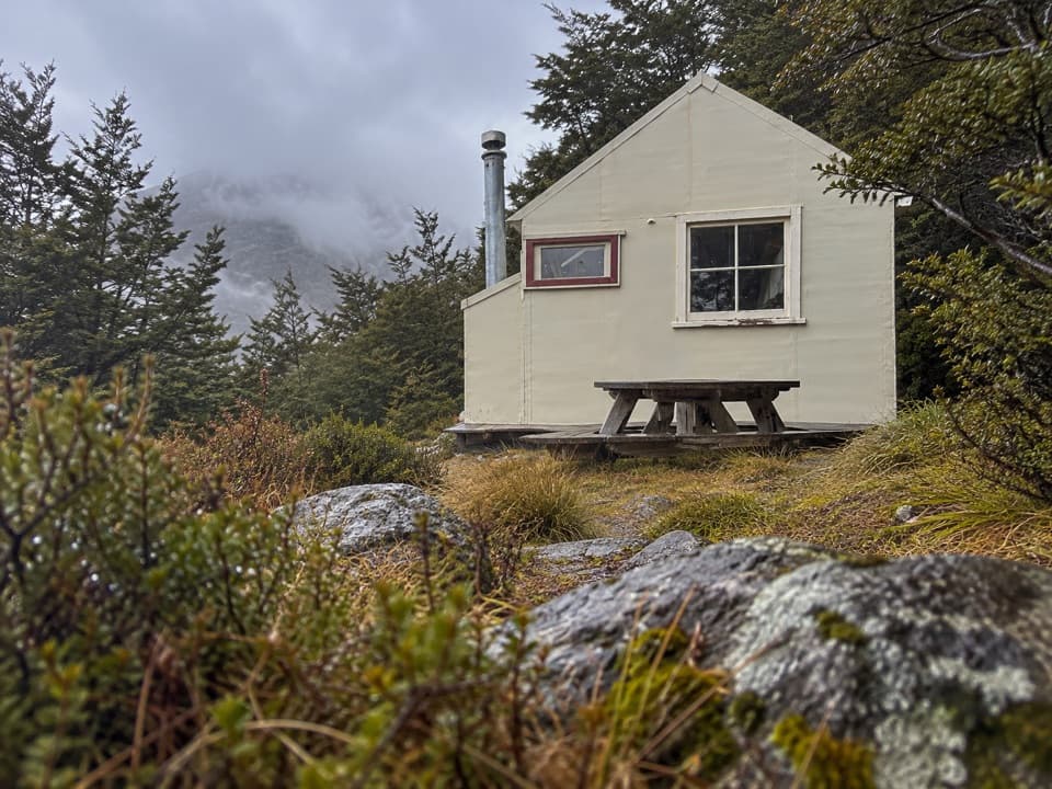 Lodging · 5.7 km awayCupola HutA remote alpine hut above the Travers Valley after a steep climb.Sight · 6 km awayRotomairewhenua / Blue LakeAn exceptionally clear alpine lake reached on a multi-day tramp.
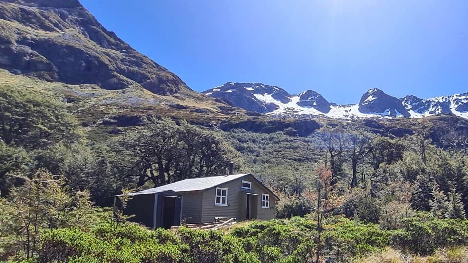 Lodging · 6.1 km awayBlue Lake HutA booked hut gives you time near the famously clear lake.
 Sight · 6.5 km awayTravers FallsA 20-metre cascade on a demanding multi-day route.
 Lodging · 7.8 km awayGeorge Lyon HutA 16-bunk backcountry refuge deep in the D’Urville Valley.
Parkwolf’s Nelson Lakes ranking

The audio tour guide for the drive, plus offline maps, trails, and wildlife heatmaps for when the signal drops.