Parking
Use the Kerr Bay Road access in St Arnaud and start at the northern edge of Kerr Bay Campsite; no dedicated Gibbs Walk parking was found.
Nelson Lakes National Park, TM
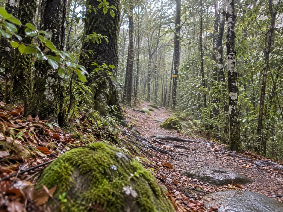
A brief beech climb over old glacial moraine.
Overview
Map & elevation
Plan your hike

The highest, rockiest slopes around here are a summer buffet for grizzly bears.
Nelson Lakes Tour Guide
Parkwolf is a GPS audio tour guide for Nelson Lakes National Park. As you drive, it chimes in with what’s ahead: hidden gems, upcoming stops, history, geology, and wildlife, right through your car’s speakers.
Recorded for this trailhead
Kerr Bay and Lake Rotoiti“You're approaching Kerr Bay, an easy place to get down to Lake Rotoiti without taking on a hike.”
Plays as you drive up to this trailhead in the Parkwolf Nelson Lakes Tour Guide.
More stories near here in the app
“Fantastic app with many points of information… It’s great to just turn on while you’re driving and it gives you an audio tour of the national Park. We love it!!!!”


Trail guide
Gibbs Walk is a 275 m (0.17-mile) one-way footpath from the northern edge of Kerr Bay Campsite to Lake Road, about 200 m short of Bridge Street. Allow roughly 10–15 minutes for the short climb. It is a worthwhile little link if you are already at Kerr Bay; retrace it to return, or continue on to the separate Black Valley Walk. Dogs are not allowed on DOC conservation land here.
The path starts level, then climbs sharply over an old moraine ridge through pole beech and black beech. Its short distance makes the steep section brief, but it is more of a climb than a flat stroll. At the upper end, the path meets Lake Road; reaching Bridge Street means continuing along the road beyond the mapped trail.
The moraine was left by retreating ice in the Lake Rotoiti basin. One erratic rock along the track supports beech trees rooted in very little soil, with roots winding down toward the ground below. It is an easy detail to miss if you hurry through the climb.
Wildlife
 20 sightingsNew Zealand FalconMost seen around 9 AMSighting map
 39 sightingsWekaMost seen around 7 AMSighting map
 11 sightingsKererūMost seen around 9 AMSighting map
 55 sightingsBlack SwanMost seen around 8 AMSighting map
 23 sightingsParadise ShelduckMost seen around 6 AMSighting map
 17 sightingsTūīMost seen around 7 AMSighting map
Sighting maps show where each species has been reported across Nelson Lakes. Wildlife moves, so no sighting is guaranteed.
Keep exploring
 ChallengingTravers-Sabine Circuit80 km · 1.3 days · 0.1 km awayAn 80 km alpine loop through remote valleys and a high pass.
 ChallengingLake Rotoiti Circuit23.4 km · 8.5 hr · 0.1 km awayTwo huts, one lake, and a ford that sets the route.
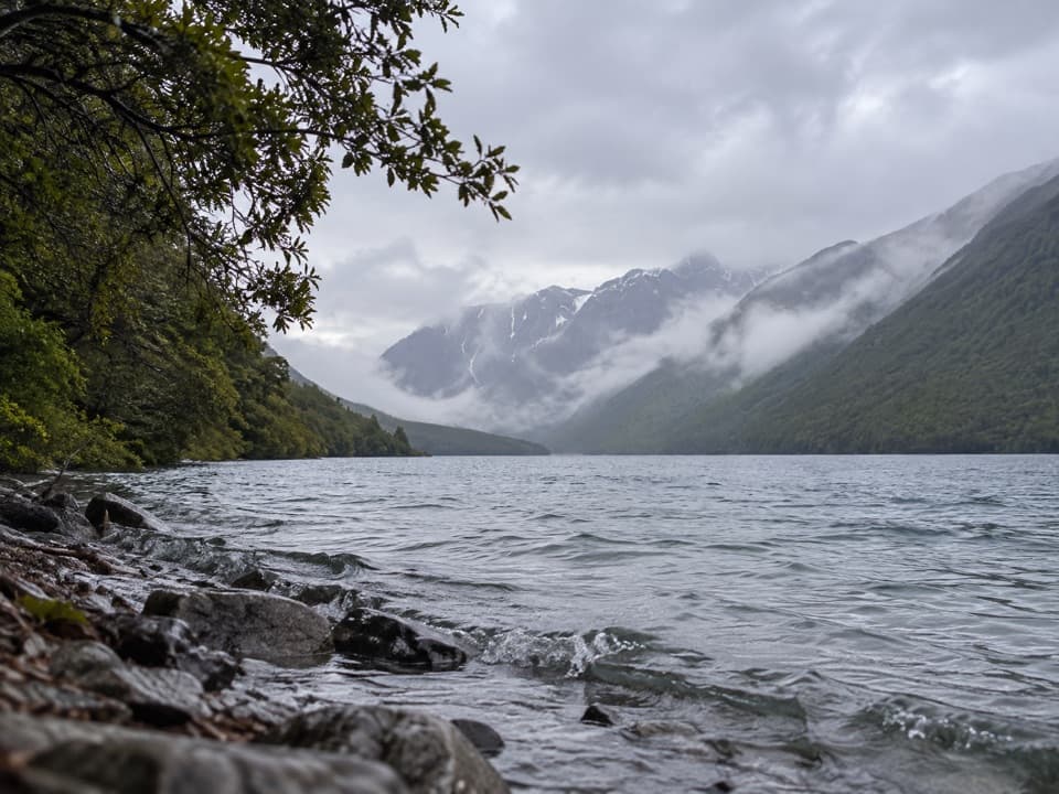 ModerateLakehead Track10.4 km · 3 hr · 0.1 km awayA beech forest walk to a hut at Lake Rotoiti’s head.
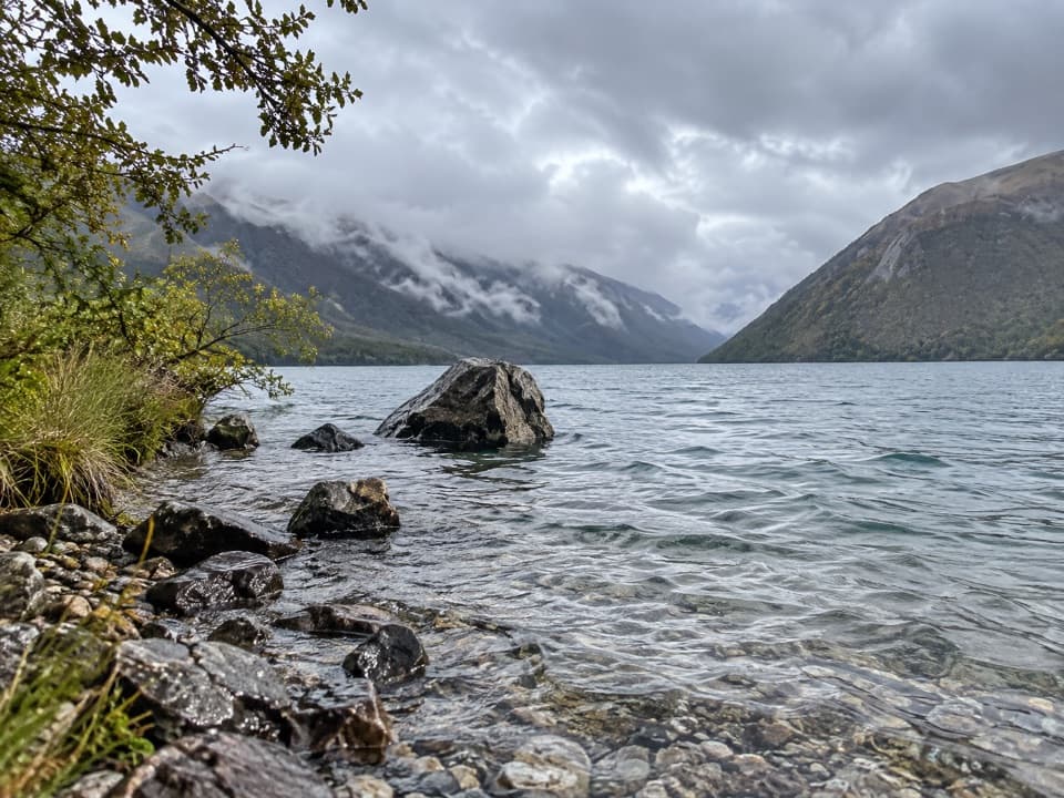 ModerateLoop Track4.5 km · 1.5 hr · 0.1 km awayA 4.5 km beech forest loop climbs terraces above Lake Rotoiti.
 EasyBlack Valley Walk0.8 km · 30 min · 0.1 km awayFollow a beech-forest stream between the lake and St Arnaud.
 ChallengingSt Arnaud Range Track10 km · 5 hr · 0.3 km awayA long beech climb opens onto an exposed ridge above Lake Rotoiti.
 EasyHoneydew Walk1.7 km · 45 min · 0.3 km awayA short beech-forest loop with honeydew-fed birds and glacial boulders.
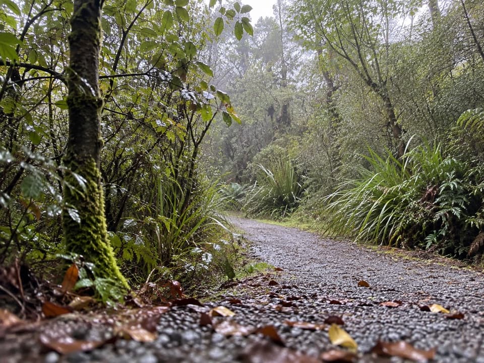 EasyBellbird Walk0.4 km · 15 min · 0.3 km awayA brief accessible loop for red beech, birds and a small wetland.
 Campground · At the trailheadKerr Bay CampsitePowered, tent and campervan sites beside Lake Rotoiti.
 Visitor center · 0.3 km awayNelson Lakes National Park Visitor CentreA good first stop for track advice, maps, and backcountry supplies.
 Sight · 0.3 km awayLake Rotoiti – Kerr Bay and JettyA mountain-framed jetty with eels beneath the water.
 Lodging · 0.4 km awayAlpine LodgeLodging, dinner and fast charging share this alpine village stop.
 Store · 0.4 km awaySt Arnaud General StoreA handy fuel, grocery and café stop before the lakes.
 Sight · 0.5 km awayClassic Boat MuseumClassic boats and engines, packed into a small St Arnaud museum.
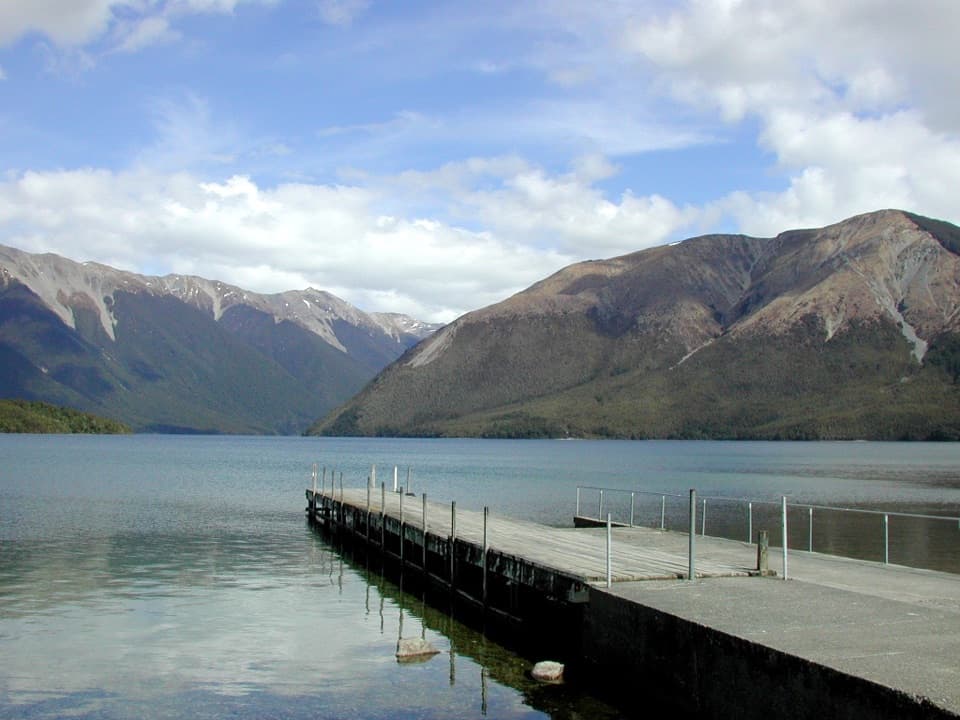 Sight · 1.6 km awayWest Bay, Lake RotoitiShort walks lead from lake views to glacier-shaped ponds.
 Campground · 1.8 km awayTeetotal CampsiteA quiet tent base beside Teetotal’s trails and winter skating pond.
Parkwolf’s Nelson Lakes ranking

The audio tour guide for the drive, plus offline maps, trails, and wildlife heatmaps for when the signal drops.


