Parking
Start at Mount Robert car park at the end of Mount Robert Road. The car park has a shelter, toilets and an information panel, and can fill on busy weekends. The road gate may be locked when icy, so check access before setting out.

#2 of 57 trails in Nelson Lakes
Nelson Lakes National Park, TM
A long, exposed ridge walk to an alpine lakeside hut.
Overview
Map & elevation
Plan your hike

The highest, rockiest slopes around here are a summer buffet for grizzly bears.
Nelson Lakes Tour Guide
Parkwolf is a GPS audio tour guide for Nelson Lakes National Park. As you drive, it chimes in with what’s ahead: hidden gems, upcoming stops, history, geology, and wildlife, right through your car’s speakers.
Recorded for this trailhead
Mount Robert: Views on Foot“The Mount Robert trailheads are coming up, where the lake lookout takes an uphill walk from the car park.”
Plays as you drive up to this trailhead in the Parkwolf Nelson Lakes Tour Guide.
More stories near here in the app
“Fantastic app with many points of information… It’s great to just turn on while you’re driving and it gives you an audio tour of the national Park. We love it!!!!”


Trail guide
Angelus Hut via Pinchgut Track and Robert Ridge Route is a 12.2 km, one-way point-to-point tramping route from Mount Robert car park to the hut on Rotomaninitua / Lake Angelus. DOC allows six hours in ordinary conditions. It is the most popular of four approaches in fine weather, but this is an alpine route with a long exposed ridge, not a casual walk. Plan your return or onward route before leaving: this entry describes the approach to the hut only.
From the car park at about 880 m, Pinchgut Track climbs steeply in zigzags up Mount Robert's north side. Beech forest grows shorter near the tree line, around 1,360 m, then gives way to open tussock. The gradient eases onto a broad ridge. Poles lead past Relax Shelter and the junction with Paddy's Track. There is no shade up here and no water along the route, so carry enough from the start.
The route follows the upper edge of 2nd Basin, where the old Mount Robert ski field buildings are visible, then crosses Flagtop at about 1,690 m and skirts 3rd Basin. The smooth-looking ridge does not stay smooth underfoot: larger boulders mark the southern end of the basin, followed by a rough sidle below Julius Summit. After that, the ridge narrows above tarn-dotted 4th Basin. Loose rock and short, careful steps slow this section. The high point is close to 1,800 m.
From the Speargrass Valley saddle, a short climb brings the first full view into the glacial basin. Rotomaninitua / Lake Angelus, smaller Hinapouri Tarn and the hut sit below the surrounding peaks. Follow the poles down the rocky slope to the lakeshore. The basin view is the route's signature scene; from the overlook, include the hut and both tarns to show how the buildings sit in the wide bowl.
Robert Ridge is exposed for nearly 10 km, with little shelter from wind or poor visibility, and sharp rocky sections that need steady footing. Those hazards can occur in any season. From May to October, DOC warns of snow, ice, avalanche risk and below-zero temperatures; heavy snow can stretch the journey to nine hours. Check the alpine forecast and current road access before setting out. The road gate may be locked when icy.
Carry all drinking water for the walk. Water from the hut's tap is untreated and may be unavailable in winter. Angelus Hut has 28 bunks and requires a booking year-round; dogs are not allowed on this route. Ice shaped the steep walls, sharp ridges and lake-filled basins here, with the last major glacial advances ending about 10,000 years ago. Julius von Haast made the first recorded scramble along Robert Ridge in 1860, though he may not have been the first.
Wildlife
 20 sightingsNew Zealand FalconMost seen around 9 AMSighting map
 39 sightingsWekaMost seen around 7 AMSighting map
 11 sightingsKererūMost seen around 9 AMSighting map
 55 sightingsBlack SwanMost seen around 8 AMSighting map
 23 sightingsParadise ShelduckMost seen around 6 AMSighting map
 17 sightingsTūīMost seen around 7 AMSighting map
Sighting maps show where each species has been reported across Nelson Lakes. Wildlife moves, so no sighting is guaranteed.
Keep exploring
 ChallengingMount Robert Circuit9 km · 5 hr · At the trailheadA 9 km alpine loop with Lake Rotoiti views and steep climbing.
 ChallengingAngelus Hut Circuit via Robert Ridge and Speargrass Track23.4 km · 12 hr · At the trailheadAn exposed ridge to a glacial lake, then back by Speargrass Creek.
 ModerateSpeargrass Track to Speargrass Hut14.6 km · 6 hr · At the trailheadBeech forest gives way to a hut in a tussock clearing.
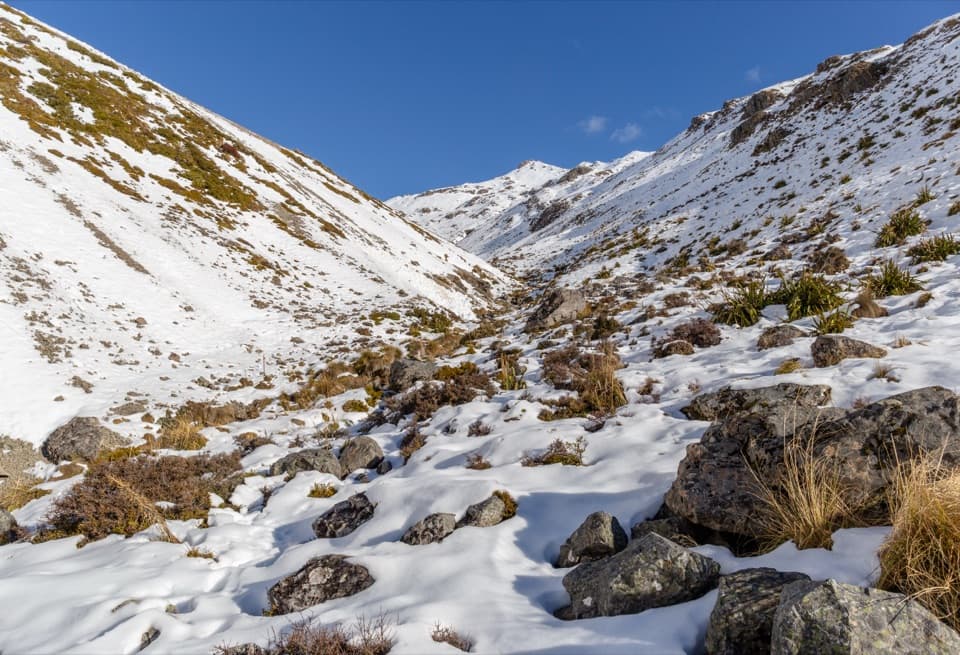 ChallengingAngelus Hut via Speargrass Track and Speargrass Creek Route11.2 km · 6 hr · At the trailheadA demanding creek route to a high alpine lake hut.
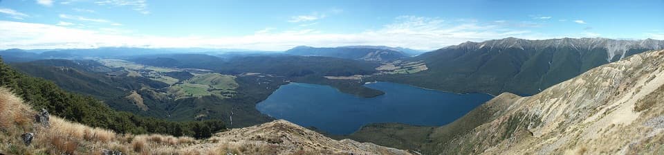 ChallengingMount Robert–Julius Summit15.6 km · 7.5 hr · At the trailheadA big climb for Lake Rotoiti views and a high, exposed ridge.
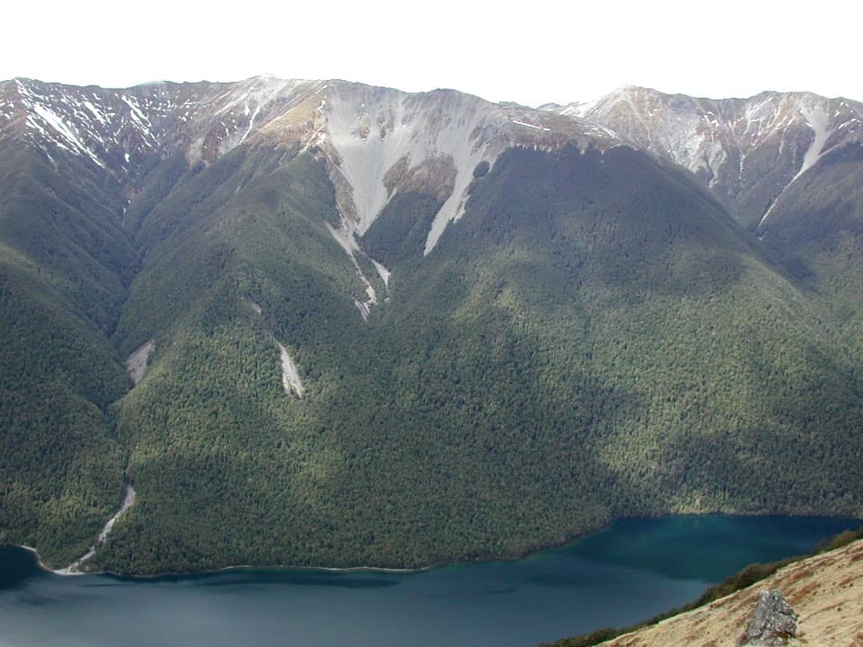 ChallengingBushline Hut via Paddy’s Track8.1 km · 4.5 hr · 0.2 km awayA steep climb to a high hut above Lake Rotoiti.
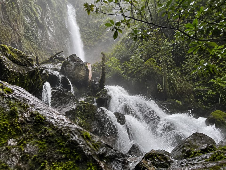 ModerateWhisky Falls via Lakeside Track10.8 km · 3.5 hr · 1.1 km awayA nearly 40 m waterfall wrapped in moss and ferns.
 EasyLakeside Track to Coldwater Hut8.2 km · 2.5 hr · 1.1 km awayA forested lakeshore walk to Coldwater Hut and its jetty.
 Sight · 0.4 km awayLake Rotoiti ViewPinchgut climbs to a wide view of Lake Rotoiti’s two bays.
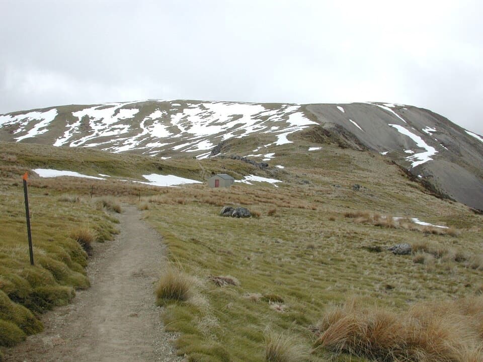 Sight · 1.5 km awayRelax ShelterA small ridge shelter reached above the bushline on Mount Robert.
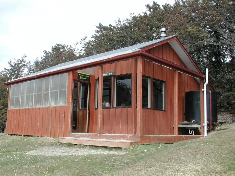 Lodging · 2.1 km awayBushline HutA steady climb earns a hut night above Lake Rotoiti.
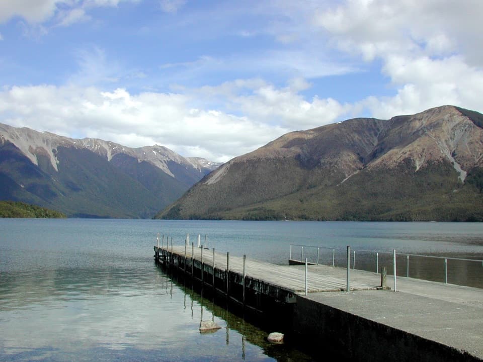 Sight · 2.8 km awayWest Bay, Lake RotoitiShort walks lead from lake views to glacier-shaped ponds.Campground · 3.1 km awayWest Bay CampsiteA quiet, tree-screened base beside Lake Rotoiti.
 Sight · 3.3 km awayWhisky FallsA nearly 40 m waterfall tucked into a glacial hanging valley.
 Sight · 3.4 km awayLake Rotoiti – Kerr Bay and JettyA mountain-framed jetty with eels beneath the water.
 Visitor center · 3.5 km awayNelson Lakes National Park Visitor CentreA good first stop for track advice, maps, and backcountry supplies.
Parkwolf’s Nelson Lakes ranking

The audio tour guide for the drive, plus offline maps, trails, and wildlife heatmaps for when the signal drops.



