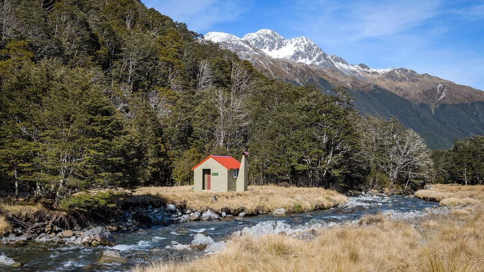
Parking
There is no road access at either hut. Reach Ada Pass Hut on foot from the Lewis Pass picnic area via 10 km of the St James Walkway (about five hours); the hut requires a booking. Plan your onward exit from Bobs Hut before starting.
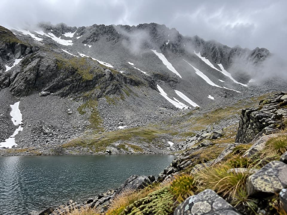
Nelson Lakes National Park, TM
A remote alpine crossing past three tarns into steep river country.
Overview
Map & elevation
Plan your hike

The highest, rockiest slopes around here are a summer buffet for grizzly bears.
Nelson Lakes Tour Guide
Parkwolf is a GPS audio tour guide for Nelson Lakes National Park. As you drive, it chimes in with what’s ahead: hidden gems, upcoming stops, history, geology, and wildlife, right through your car’s speakers.
“Fantastic app with many points of information… It’s great to just turn on while you’re driving and it gives you an audio tour of the national Park. We love it!!!!”


Trail guide
The Three Tarn Pass Route is a 14.4 km (8.95 mi) one-way crossing from Ada Pass Hut to Bobs Hut, over the lower true-right branch of the Maruia and down the West Matakitaki valley. Allow 10–14 hours for the crossing; many parties camp and split it over two days. That distance starts at Ada Pass Hut and excludes the 10 km, roughly five-hour walk in from Lewis Pass on the St James Walkway. This is remote, mostly unmarked backcountry travel for experienced trampers with strong navigation and river-crossing judgment.
From Ada Pass Hut, retrace about five minutes to the Maruia footbridge, then climb the true-right branch. Tape markers through the trees can be difficult to follow; the route rises steeply through a dry creek bed, scrub and tussock before reaching open alpine ground, an unnamed tarn and the narrow pass. Some maps show a different, higher pass on the true-left branch. This route uses the lower true-right crossing.
A steep chute and loose scree descend from the pass to three small tarns beneath a jagged ridge. The basin sits in a glacially carved valley. From there, expect rough tussock, boulders, boggy ground and repeated stream crossings. At the moraine wall, the route leaves the river and climbs above a small gorge on the true-left side before returning to easier river flats. The last five kilometres follow an unmaintained river-valley route to Bobs Hut; a crossing near the hut can become difficult after heavy rain.
Ada Pass Hut is a serviced 14-bunk hut and must be booked; the St James Walkway approach from Lewis Pass is an extra half-day. Bobs Hut has eight bunks and is first come, first served. The pass can retain snow and ice into summer, so late summer is usually the more practical season, after most snow has melted. Dogs are not allowed on the St James Walkway or in the national park. Check current snow, river and access conditions before setting out.
Wildlife
 20 sightingsNew Zealand FalconMost seen around 9 AMSighting map
 39 sightingsWekaMost seen around 7 AMSighting map
 11 sightingsKererūMost seen around 9 AMSighting map
 55 sightingsBlack SwanMost seen around 8 AMSighting map
 23 sightingsParadise ShelduckMost seen around 6 AMSighting map
 17 sightingsTūīMost seen around 7 AMSighting map
Sighting maps show where each species has been reported across Nelson Lakes. Wildlife moves, so no sighting is guaranteed.
Keep exploring
 ModerateWest Matakitaki Track to Bobs Hut6.6 km · 4 hr · 11.6 km awayA remote hut beneath the Spenser peaks, beyond a final river crossing.
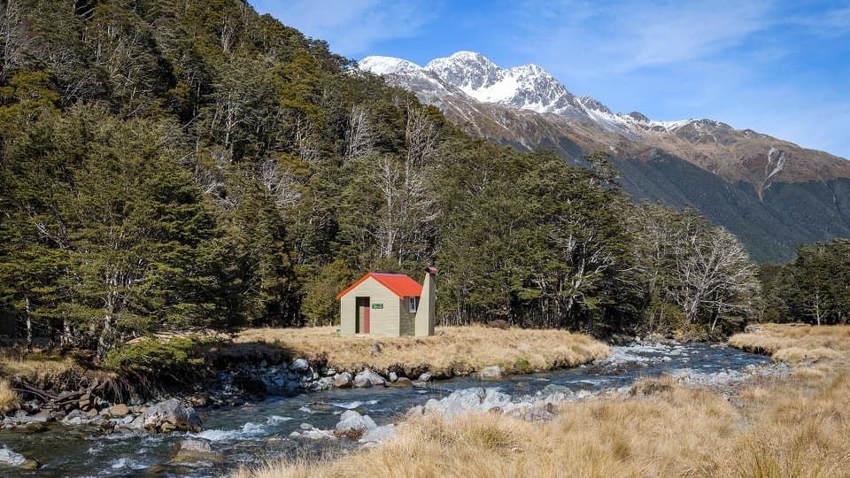 ModerateEast Matakitaki Track4.3 km · 3 hr · 11.7 km awayA beech-forest tramp to a six-bunk hut beside the river.
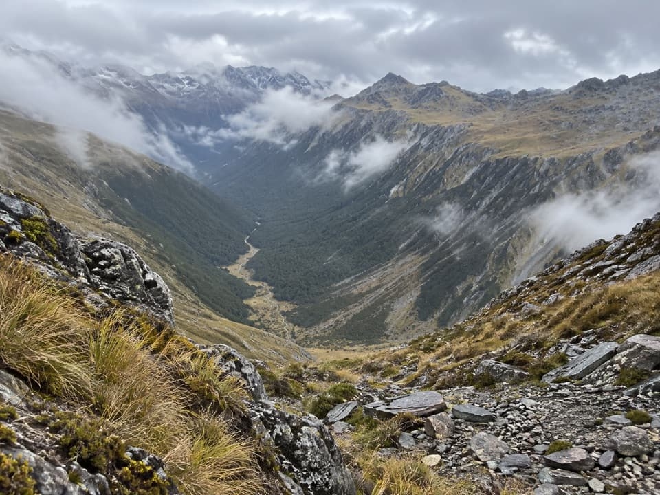 ChallengingDavid Saddle Route12 km · 12 hr · 14.9 km awayA remote hut crossing over a steep, sparsely marked alpine saddle.
 ModerateMatakitaki Forks Route11.9 km · 5 hr · 19.7 km awayA mossy beech track to a remote Matakitaki river crossing.
Parkwolf’s Nelson Lakes ranking

The audio tour guide for the drive, plus offline maps, trails, and wildlife heatmaps for when the signal drops.