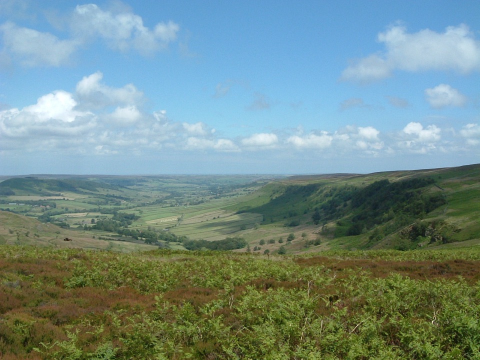
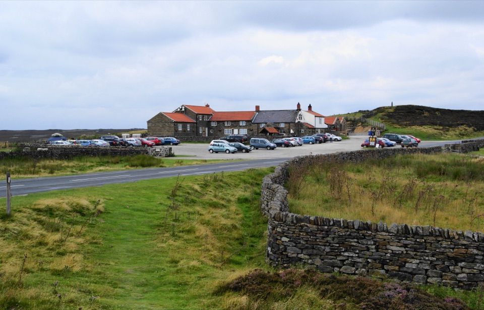
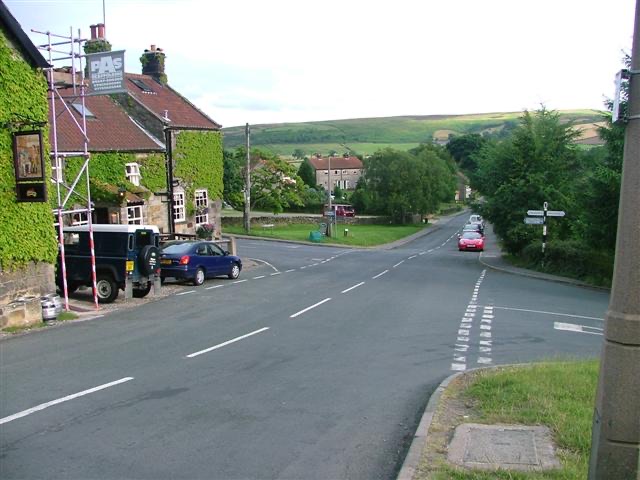
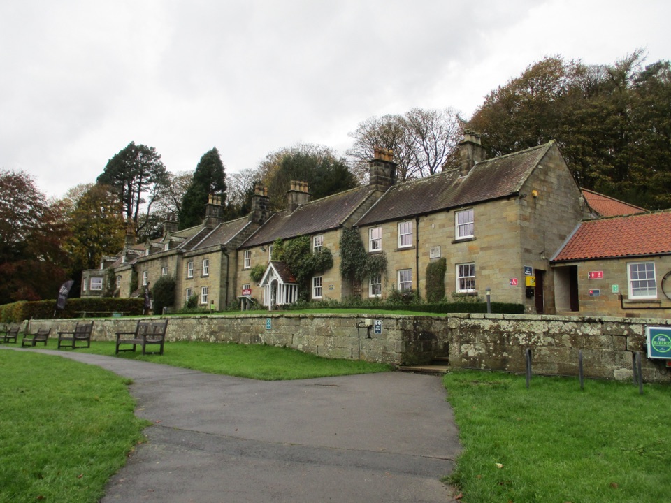
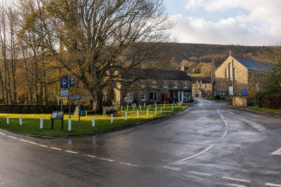
The park emblem stands against broad, open moorland views
Heads up
An exposed roadside junction makes lingering uncomfortable
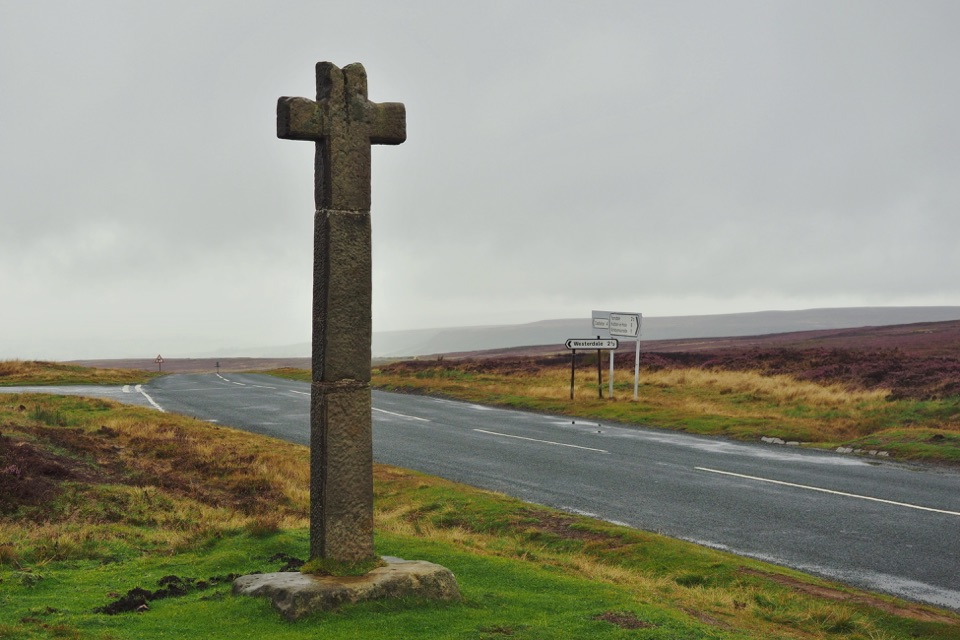
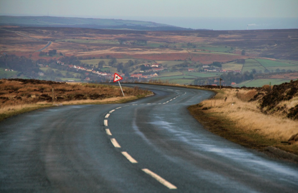
This is the stone cross adopted as the National Park's distinctive logo, and it stands right beside the road on Blakey Ridge with nothing around it but heather, sky and a long moorland horizon. It is probably the most famous of roughly 1,500 ancient boundary stones and crosses scattered across these moors. A short roadside stop is all it takes, since the cross sits close to the nearby layby.
The cross photographs year-round, and the site has unobstructed views to the north.
That northward outlook makes it a spot for occasional Northern Lights behind the cross when conditions cooperate, and for noctilucent clouds on summer nights.
For the Milky Way, the galactic core sits best from March into late April and again from August through the end of October. Dark, moonless nights are the ones worth the drive.
Visit in daylight if you want to study the carving, and to make the roadside setting easier to manage safely.
8 active North York Moors alerts
ClosureHawnby Bridleway 110 closurePublic Bridleway 25.122/110/1 in Hawnby is closed to pedestrians, cyclists and equestrians because its bridge is unsafe. - The closure is between grid references SE 5309 9073 and SE 5335 9097.Official details
ClosureWest Ayton Footpath 1 closurePublic Footpath 1 in West Ayton (Forge Valley) is temporarily closed because its boardwalk is unsafe. - The closure is between SE 9860 8494 and SE 9839 8712.Official details
Parkwolf Tour GuideThe highest, rockiest slopes around here are a summer buffet for grizzly bears.
North York Moors Tour Guide
Your drive to Young Ralph Cross, narrated.
Parkwolf is a GPS audio tour guide for North York Moors National Park. As you drive, it chimes in with what’s ahead: hidden gems, upcoming stops, history, geology, and wildlife, right through your car’s speakers.
Recorded for this place
Young Ralph Cross, Blakey Ridge
0:00 / 0:17
“You're approaching Young Ralph Cross on Blakey Ridge, the stone emblem of the national park. It may date to the eleventh century, with faint interlace carving low on the shaft and a later replacement head.”
Plays as you drive up to Young Ralph Cross in the Parkwolf North York Moors Tour Guide.
More stories near here in the app
Danby Head and Great Fryup Dale
The Lion Inn, Blakey Ridge
The Foxglove's Landing Pad
Blakey Junction and the Rosedale Railway
298 audio storiesacross North York Moors’s roads, triggered by GPS as you drive
Wildlife heatmapsfor Eurasian Otter, Red Deer, Grey Seal, and 13 more
Works offlinemaps, 126 trails, 65 places, and audio download before you lose signal
CarPlay readysimple controls built for the drive
★★★★★
“Fantastic app with many points of information… It’s great to just turn on while you’re driving and it gives you an audio tour of the national Park. We love it!!!!”
JMJamesApp Store review
★★★★★4.7 from 8,600+ ratings
Guide
More about Young Ralph Cross
What you're looking atA Grade II\ listed wayside cross of hard gritstone, standing around 10 feet tall on a large,…
A **Grade II\* listed wayside cross of hard gritstone, standing around 10 feet tall** on a large, roughly shaped base.
Its origins are genuinely old and possibly 11th century, though the exact date is uncertain.
The lower shaft carries heavily weathered interlace carving and a cable-moulded border. Get close and study the stone surface to pick it out.
The head is a later restoration, cemented into its socket, so the cross you see is part ancient monument and part repair.
Practical arrival and safetyThere is a small roadside layby just south of the cross, plus other roadside parking nearby,…
There is a small roadside layby just south of the cross, plus other roadside parking nearby, and space is genuinely tight. If it is taken, keep going rather than improvising a spot on the verge.
This is an active road at an open, exposed junction. Cross carefully, keep children close, and stand well off the carriageway when you frame a shot.
Sheep may wander onto the road, so drive slowly through the junction.
No visitor facilities are verified at the stop, so plan food, water and toilets around the visit.
Bring a windproof layer even in summer. The ridge is high and open, and there is nothing to shelter behind.
Honest drawbacksThe cross and the broad moor views are the main experience, and it works best as a short…
The cross and the broad moor views are the main experience, and it works best as a short roadside stop rather than a place to linger.
The exposed roadside setting cuts short how long most people want to stay, especially in wind or rain.
The junction here is a bus drop-off point for a long open-moor walk of about 7.5 miles, but you do not need to walk anywhere to see the cross. If you do head out onto the open moor, treat it as serious navigation: the route can be tricky, so take waterproof boots and clothing, water, and a map with compass or GPS.