Parking
Castleton Moor station is on Station Lane off Langburn's Bank. National Rail lists no station parking spaces, so arrive by train or plan legal parking elsewhere in Castleton.
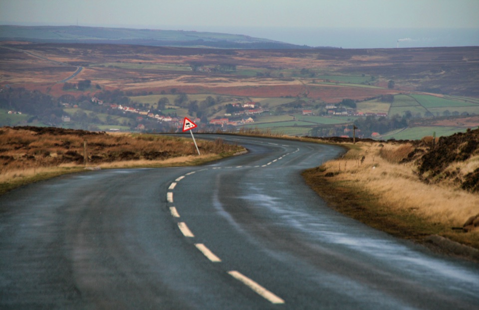
North York Moors National Park, EN
Big moorland loop from Castleton over Blakey Ridge past Fat Betty
Overview
This is a circular loop of 15.2 miles (24.5 km), starting and finishing at Castleton Moor station in Castleton. The distance is the official promoted figure for the whole circuit, not a one-way measurement, so no return leg needs adding. Route mapping of the stored line, including a short verified public-road link on New Road and Station Road that closes the track back at the station, measures 15.50 miles. Allow about 6 hours 30 minutes and treat it as a long clear day out. It is the first, circular section of the Esk Valley Walk rather than the whole 37-mile route.
Map & elevation
Plan your hike

The highest, rockiest slopes around here are a summer buffet for grizzly bears.
North York Moors Tour Guide
Parkwolf is a GPS audio tour guide for North York Moors National Park. As you drive, it chimes in with what’s ahead: hidden gems, upcoming stops, history, geology, and wildlife, right through your car’s speakers.
Recorded for this area
Walk One Way, Ride Back“The Esk Valley Railway gives you a way to walk through the moors without retracing your steps. Its trains link Castleton Moor, Danby, Lealholm, Grosmont and Whitby.”
Plays on the road 0.8 km from the trailhead in the Parkwolf North York Moors Tour Guide.
More stories near here in the app
“Fantastic app with many points of information… It’s great to just turn on while you’re driving and it gives you an audio tour of the national Park. We love it!!!!”


Trail guide
From Castleton the walk heads into Danby Dale and the western dales, climbs to Blakey Ridge and stays high across open moorland, then swings around Westerdale and the upper River Esk and its source becks. The return passes Rosedale Head and the Fat Betty white cross before dropping back to Castleton. The payoff is the sustained high ground: sweeping dale views on the way up, wide moorland horizons along the ridge, and the sight of the Esk shrinking to peaty becks near its head.
Officially graded difficult, with 1,430 ft of ascent and 1,480 ft of descent, a high point of 1,362 ft and a low point of 427 ft. Surfaces vary between asphalt, dirt road, moorland trail and narrower path, with rough and possibly boggy stretches and several road crossings. Shelter is limited once you are on the tops, so the day is exposed for long periods and navigation matters in poor visibility. Carry what you need for the full distance.
Heather moorland dominates the high sections and is at its most photogenic when flowering in late summer. Fat Betty, the squat white cross at Rosedale Head, is the standout landmark, with an optional short diversion to Young Ralph nearby. Look for the medieval monastic grange remains at Esklets and the waste tips left by historic jet mining. Moorland birds include merlin and golden plover, and the ground is managed red grouse habitat.
This is a public promoted route managed by the North York Moors National Park Authority, and no special permit requirement was found in the authoritative route material. Dogs are allowed under strict control: keep to public rights of way on the moor, use a short lead or keep to heel near livestock, and use a short lead from 1 March to 31 July to protect ground-nesting birds.
The start is Castleton Moor station on Station Lane, off Langburn's Bank. National Rail lists no parking spaces at the station, so arriving by train or planning your parking elsewhere in advance is sensible.
If 15.2 miles is too much commitment, the next Esk Valley stage runs from Castleton to Lealholm and is about 7.3 miles and linear, with the wider multi-stage route continuing on to Whitby.
Wildlife
 15 sightingsEurasian OtterMost seen around 7 PMSighting map
 10 sightingsRed DeerMost seen around 7 AMSighting map
 79 sightingsGrey SealMost seen around noonSighting map
 26 sightingsWestern Barn OwlMost seen around 7 PMSighting map
 33 sightingsEuropean BadgerMost seen around 7 PMSighting map
 10 sightingsMute SwanMost seen around noonSighting map
Sighting maps show where each species has been reported across North York Moors. Wildlife moves, so no sighting is guaranteed.
Keep exploring
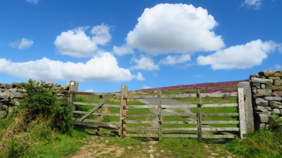 ModerateCastleton to Lealholm (Esk Valley Walk 2)12.1 km · 4 hr · At the trailheadWooded valley paths climb to Danby Beacon, then moor down to Lealholm
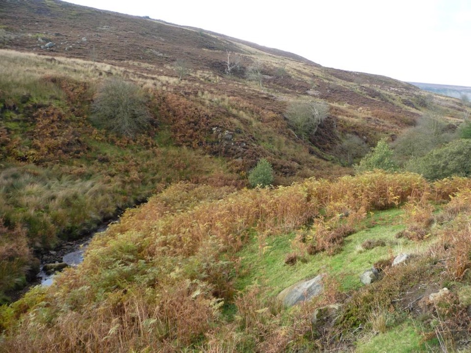 ChallengingEsk Valley Walk59.5 km · 18 hr · 0.1 km awayFollow the Esk from high heather moors down to Whitby harbour
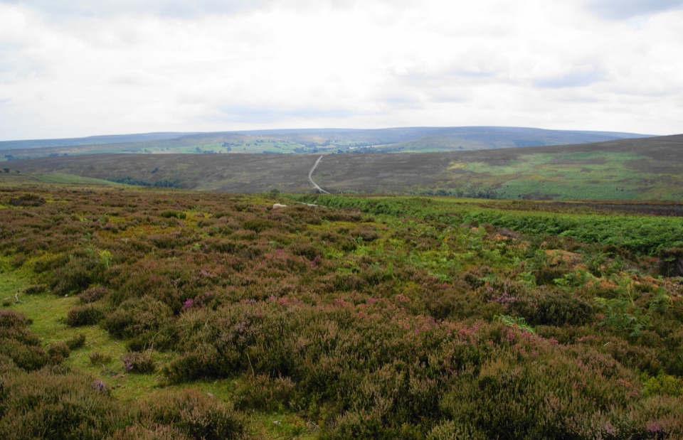 ModerateKildale Moor Walk14 km · 4.3 hr · 3.2 km awayRough, boggy moorland loop with big views and almost no waymarkers
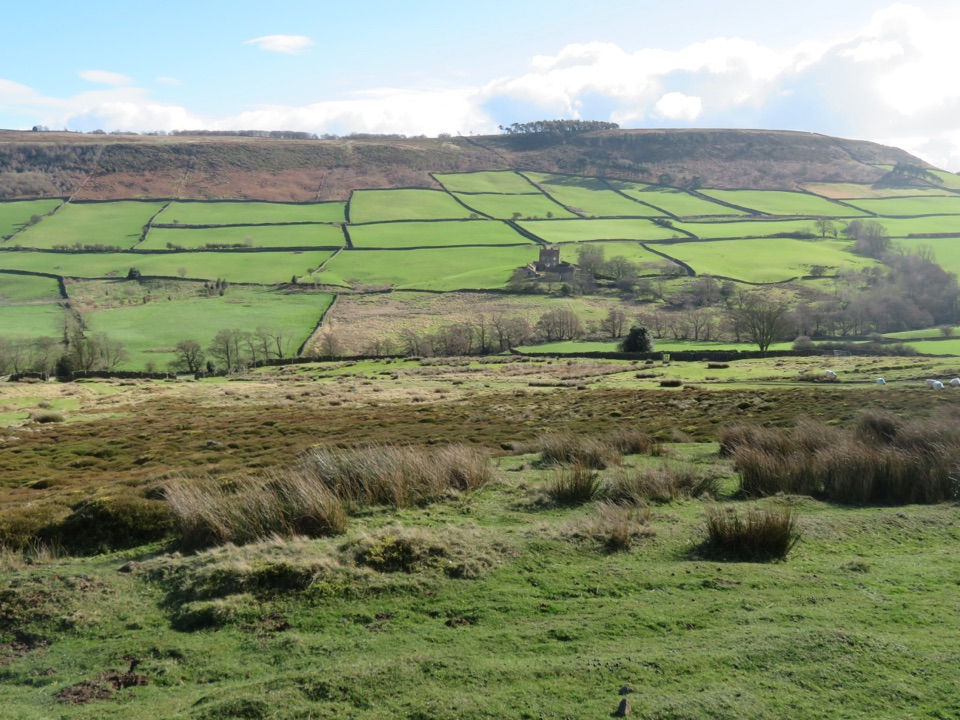 ModerateDanby, Ainthorpe and Little Fryup Dale Walk9 km · 3.3 hr · 3.2 km awayRidge views, a standing stone and a castle above Little Fryup Dale
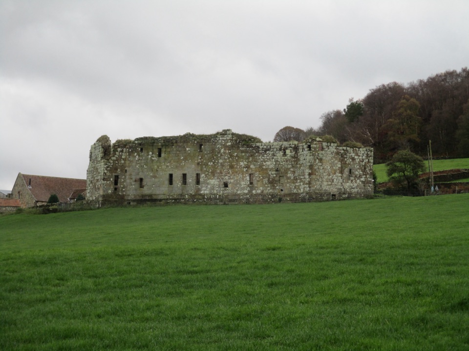 EasyDanby Castle Walk3.7 km · 1 hr · 3.3 km awayA short loop to a castle spur, returning over humpbacked Duck Bridge
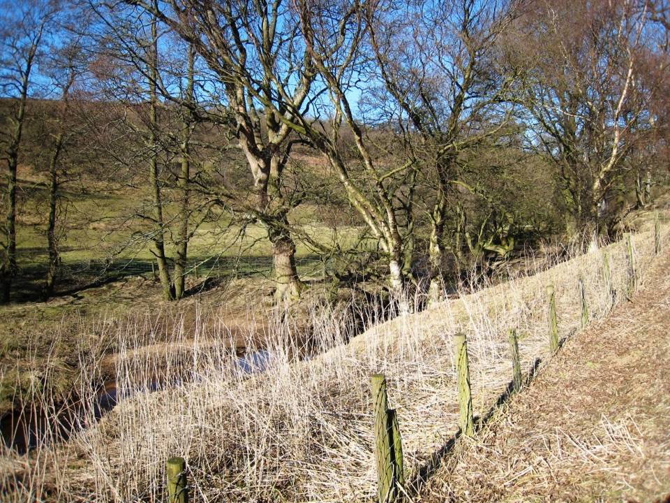 ModerateBaysdale Circular15.3 km · 5.5 hr · 3.4 km awayRemote moorland circuit above Baysdale Beck, past a private abbey site
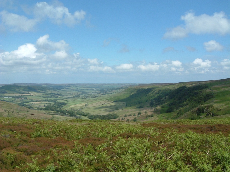 ModerateGreat Fryup Dale and Glaisdale Moor9.3 km · 4 hr · 7.3 km awaySteep bracken descent into a quiet dale, then flagged open moorland
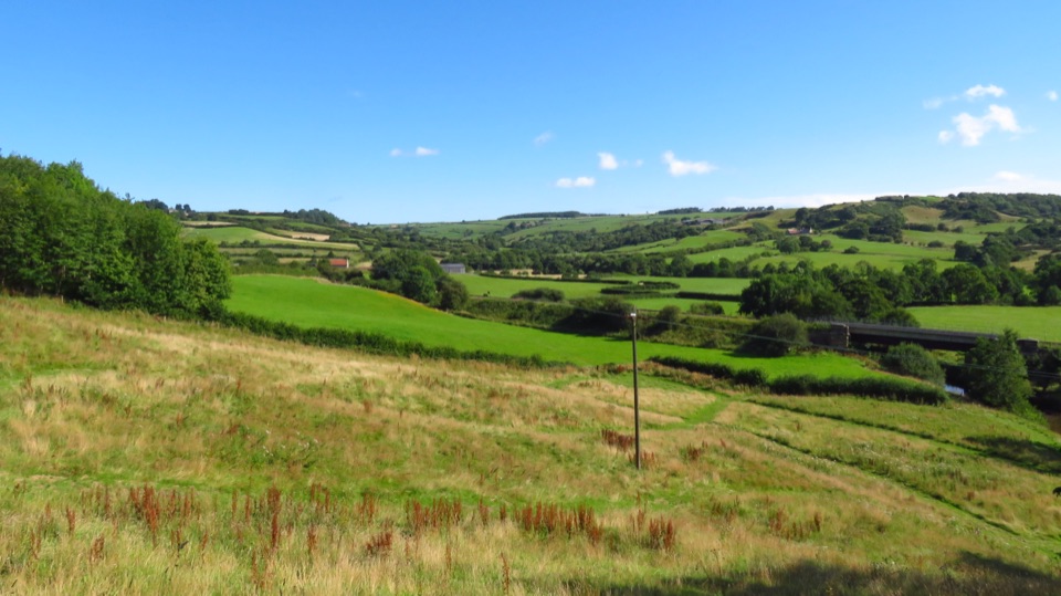 ModerateLealholm to Grosmont (Esk Valley Walk 3)9.3 km · 3 hr · 7.9 km awayRiverside miles between four Esk Valley villages, station to station
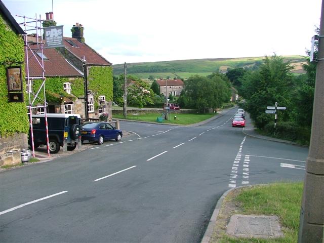 Sight · 2.3 km awayDanbyStone estate cottages where the Esk Valley meets open moorland
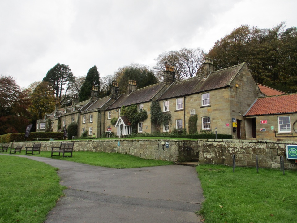 Visitor center · 3.2 km awayDanby Lodge National Park CentreDanby Lodge: riverside grounds, adventure play and ironstone heritage
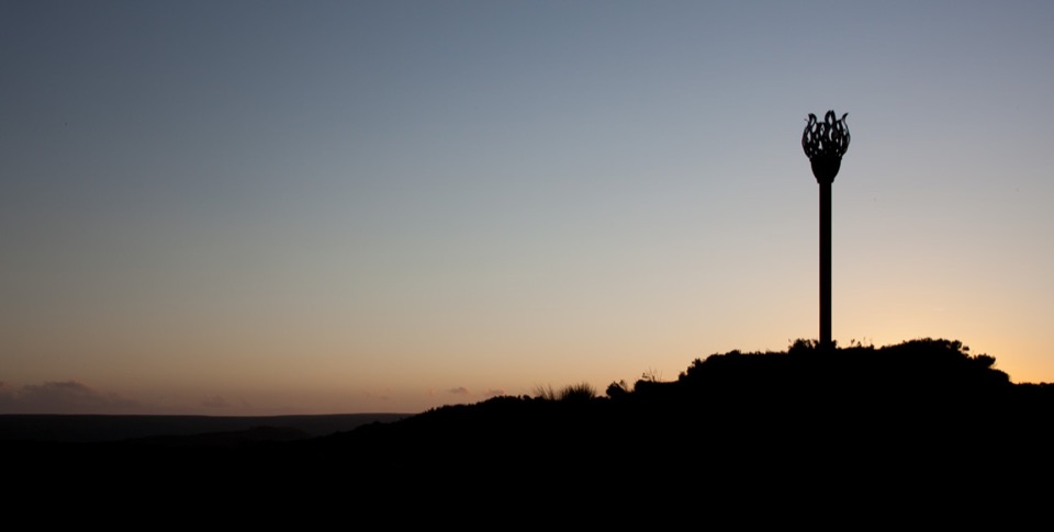 Sight · 5.2 km awayDanby BeaconFlame-shaped steel beacon on high moor, with sweeping coastal views
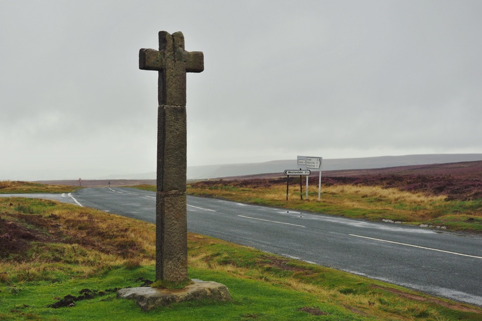 Sight · 6.4 km awayYoung Ralph CrossThe park's emblem in stone, alone on high open moorland
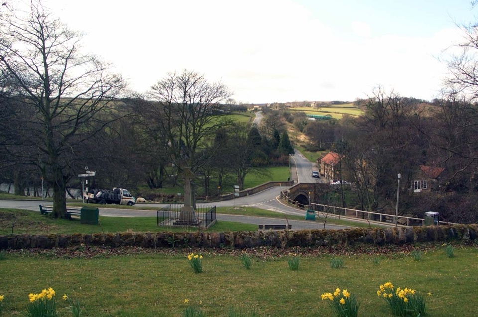 Sight · 7.9 km awayLealholmStepping stones, a 17th-century bridge and a green by the Esk
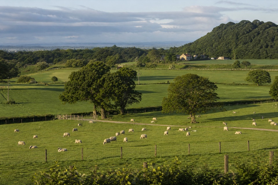 Campground · 8.2 km awayKildale Camping Barn and CampsiteQuiet working-farm pitches a field from the Cleveland Way
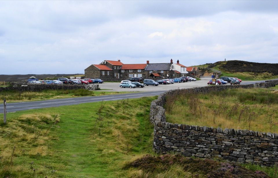 Restaurant · 8.8 km awayThe Lion Inn, Blakey RidgeOpen fires and vast moorland views at a 16th-century ridge-top freehouse
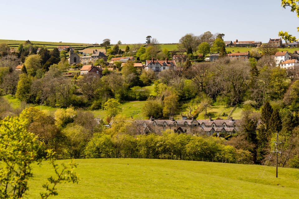 Sight · 9.4 km awayGlaisdaleStone cottages on a steep Esk Valley hillside, walks below
Parkwolf’s North York Moors ranking

The audio tour guide for the drive, plus offline maps, trails, and wildlife heatmaps for when the signal drops.





