Parking
Hob Hole Car Park and picnic area at the ford and footbridge over Baysdale Beck, reached by the single narrow road from Kildale over Warren Moor.
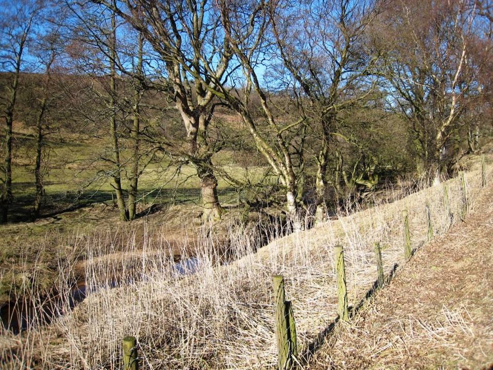
North York Moors National Park, EN
Remote moorland circuit above Baysdale Beck, past a private abbey site
Overview
Map & elevation
Plan your hike

The highest, rockiest slopes around here are a summer buffet for grizzly bears.
North York Moors Tour Guide
Parkwolf is a GPS audio tour guide for North York Moors National Park. As you drive, it chimes in with what’s ahead: hidden gems, upcoming stops, history, geology, and wildlife, right through your car’s speakers.
Recorded for this trailhead
Hob Hole and Baysdale Circular“You're approaching Hob Hole, beside the ford over Baysdale Beck and the start of the Baysdale Circular.”
Plays as you drive up to this trailhead in the Parkwolf North York Moors Tour Guide.
More stories near here in the app
“Fantastic app with many points of information… It’s great to just turn on while you’re driving and it gives you an audio tour of the national Park. We love it!!!!”


Trail guide
A closed circular walk of 9.5 miles / 15.4 km, starting and finishing at Hob Hole Car Park. Reckon on about 5 hours 30 minutes and roughly 1,200 feet / 364 m of climbing. The official grade is moderate, and that feels fair: no scrambling, but a long day on rough upland ground with real navigation.
Baysdale is a remote-feeling valley in this corner of the moors, and the walk gives you both sides of it: an intimate lower valley of grassy tracks, walls, plantation edges and working farms, then a wide moorland crossing where the dale opens out beneath you. The route runs between about 177 m down at the beck and roughly 387 m on the high moor, so the contrast is constant.
Expect a mix of firm tracks, grassy bridleway, field paths and boggy moorland. Some sections are rough or wet underfoot, and the high ground is fully exposed to wind and weather with no shelter. There are gates to work through, and the start sits beside a ford and footbridge over the beck. Boots with decent grip and a waterproof layer are sensible in any season.
This is the part to take seriously. There are multiple track and path junctions on the moor where the correct line is not obvious, and mist removes the landmarks you would otherwise steer by. Carry a map and compass or a loaded GPS track and know how to use them. Save this one for a fine, clear day.
Baysdale Abbey marks the site of a medieval Cistercian nunnery, though what stands there now is private residence and the walk passes by without any public access to the buildings. The surrounding moorland is ground-nesting bird habitat, which is why the seasonal dog rules below matter, and the farms, walls and barns along the lower dale show how this valley has been worked for centuries.
Dogs are welcome on the public rights of way used by this route, but most of the surrounding Open Access moorland does not permit dogs, so stay on the rights of way throughout. On moorland, use a lead under 2 m from 1 March to 31 July for ground-nesting birds. Keep dogs to heel or on a lead near livestock and never let them chase.
Start from Hob Hole Car Park and picnic area at the ford and footbridge over Baysdale Beck near Westerdale, reached by the single narrow road from Kildale over Warren Moor. It is a remote access point, so arrive self-sufficient with water, food and everything you need for the day. If you would rather a longer route with a different flavour, the separate Kildale to Baysdale circular starts at Kildale and takes in Warren Moor Mine.
Wildlife
 15 sightingsEurasian OtterMost seen around 7 PMSighting map
 10 sightingsRed DeerMost seen around 7 AMSighting map
 79 sightingsGrey SealMost seen around noonSighting map
 26 sightingsWestern Barn OwlMost seen around 7 PMSighting map
 33 sightingsEuropean BadgerMost seen around 7 PMSighting map
 10 sightingsMute SwanMost seen around noonSighting map
Sighting maps show where each species has been reported across North York Moors. Wildlife moves, so no sighting is guaranteed.
Keep exploring
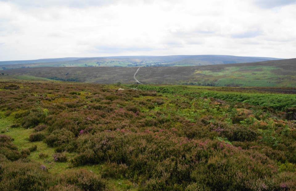 ModerateKildale Moor Walk14 km · 4.3 hr · 3.2 km awayRough, boggy moorland loop with big views and almost no waymarkers
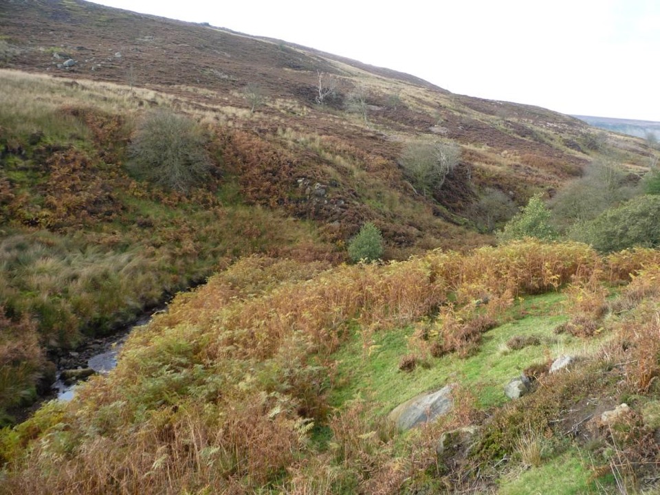 ChallengingEsk Valley Walk59.5 km · 18 hr · 3.3 km awayFollow the Esk from high heather moors down to Whitby harbour
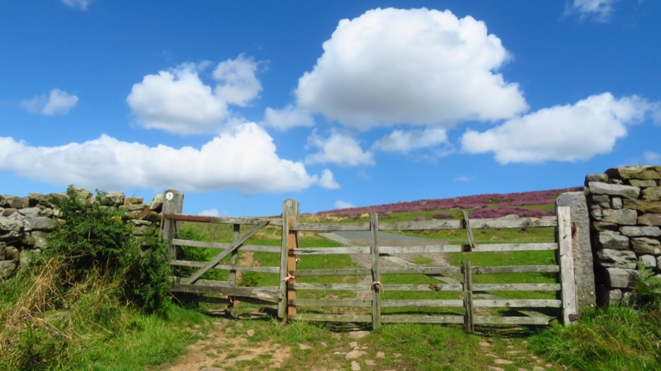 ModerateCastleton to Lealholm (Esk Valley Walk 2)12.1 km · 4 hr · 3.4 km awayWooded valley paths climb to Danby Beacon, then moor down to Lealholm
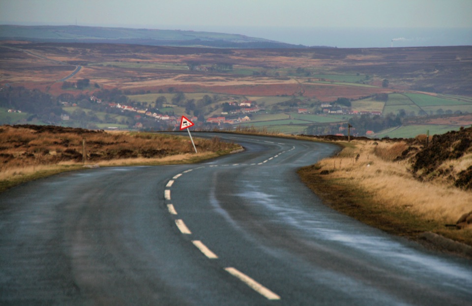 ChallengingDanby Dale, Blakey and Westerdale (Esk Valley Walk 1)24.5 km · 6.5 hr · 3.4 km awayBig moorland loop from Castleton over Blakey Ridge past Fat Betty
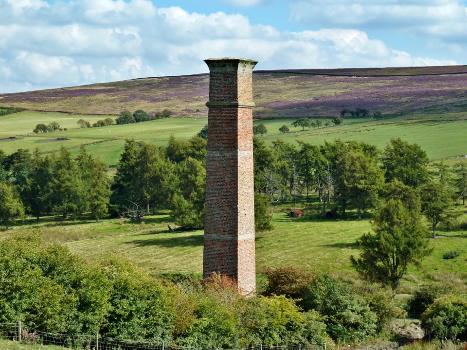 ModerateWarren Moor Mine from Kildale5.3 km · 1.5 hr · 5.2 km awayQuiet lanes and a steep grass descent to a lost ironstone mine
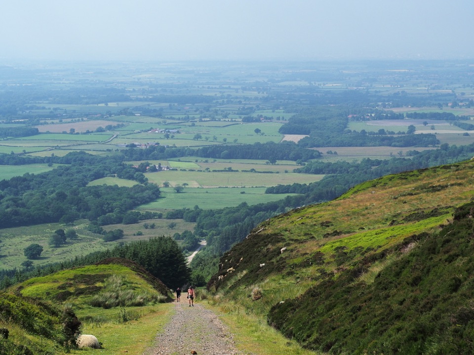 ModerateIngleby Incline Walk15 km · 4 hr · 6.4 km awayClimb a 1-in-5 ironstone incline to wide Cleveland plain views
 ChallengingMiles without Stiles (For some) - Ingleby Incline11.4 km · 3.8 hr · 6.4 km awayA mile of 1:5 Victorian railway incline, climbed on foot from Battersby
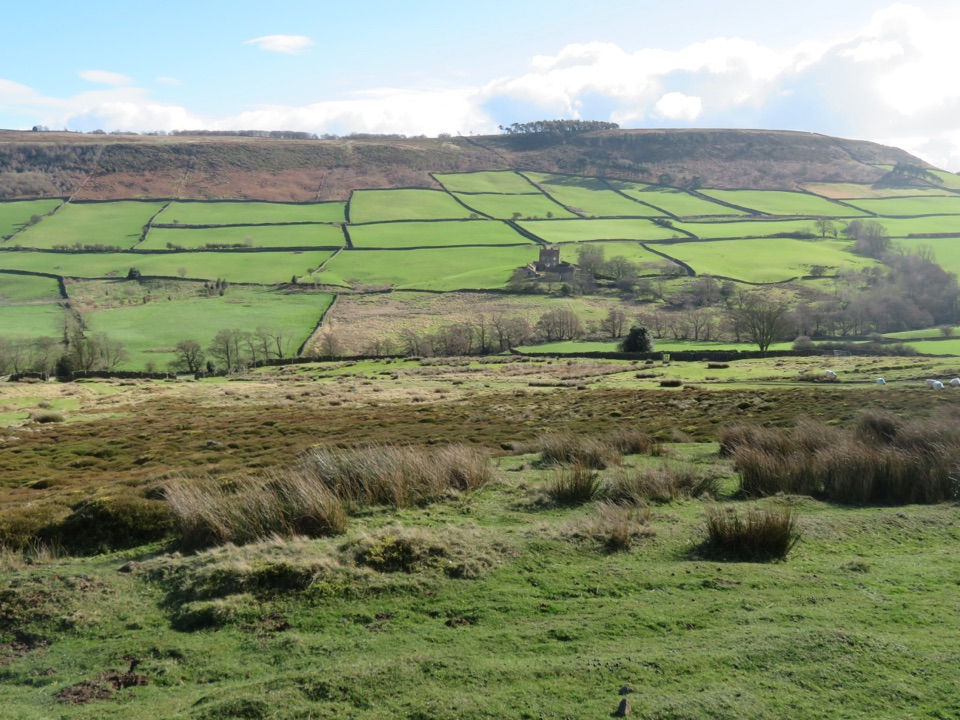 ModerateDanby, Ainthorpe and Little Fryup Dale Walk9 km · 3.3 hr · 6.5 km awayRidge views, a standing stone and a castle above Little Fryup Dale
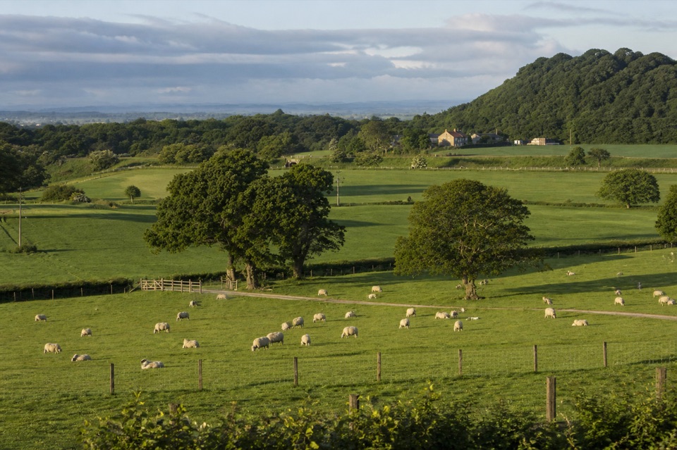 Campground · 5.1 km awayKildale Camping Barn and CampsiteQuiet working-farm pitches a field from the Cleveland Way
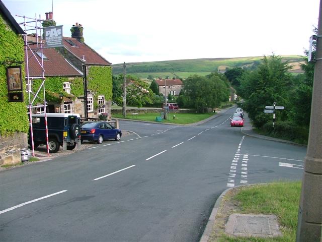 Sight · 5.7 km awayDanbyStone estate cottages where the Esk Valley meets open moorland
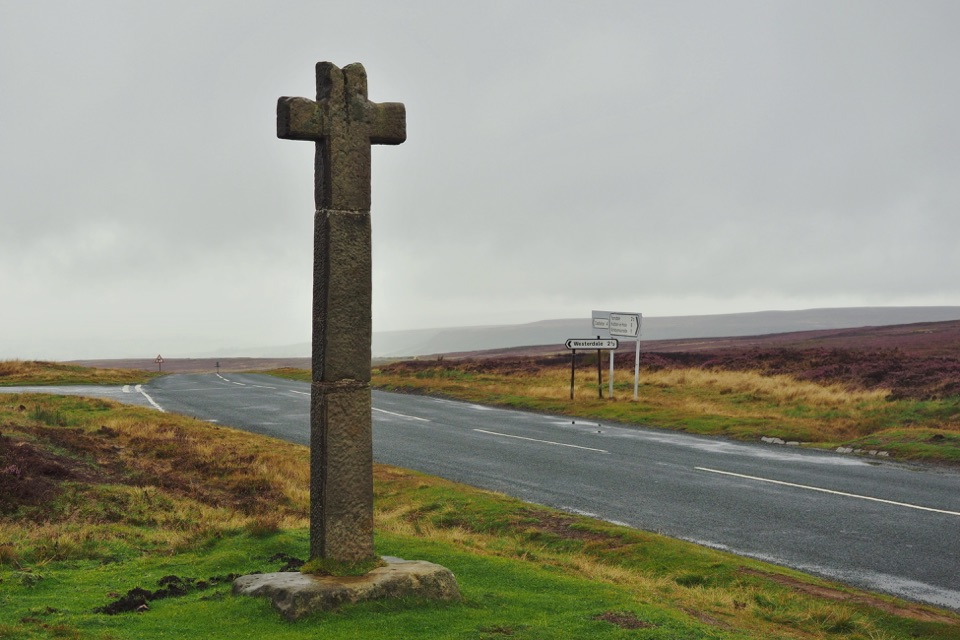 Sight · 5.9 km awayYoung Ralph CrossThe park's emblem in stone, alone on high open moorland
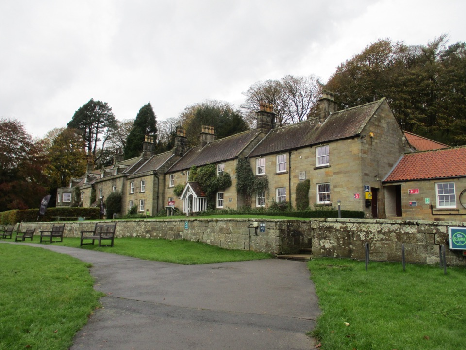 Visitor center · 6.4 km awayDanby Lodge National Park CentreDanby Lodge: riverside grounds, adventure play and ironstone heritage
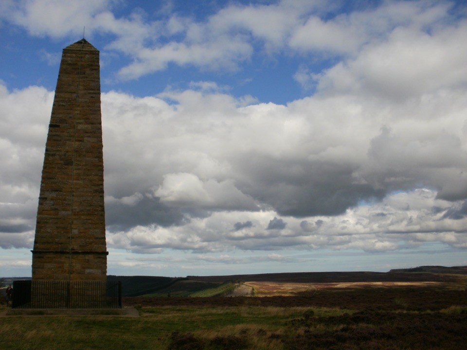 Sight · 6.8 km awayCaptain Cook's MonumentAn 18-metre sandstone obelisk on open moorland, earned on foot
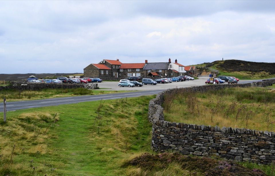 Restaurant · 8.1 km awayThe Lion Inn, Blakey RidgeOpen fires and vast moorland views at a 16th-century ridge-top freehouse
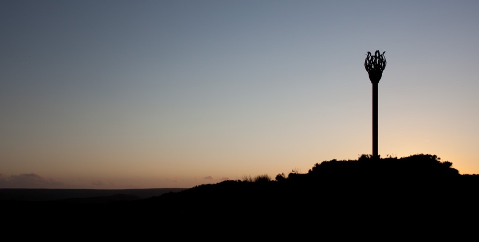 Sight · 8.5 km awayDanby BeaconFlame-shaped steel beacon on high moor, with sweeping coastal views
 Sight · 9 km awayRoseberry ToppingSteep half-hour climb to a jagged summit with 360-degree Cleveland views
Parkwolf’s North York Moors ranking

The audio tour guide for the drive, plus offline maps, trails, and wildlife heatmaps for when the signal drops.





