Parking
Use the free Danby Head car park beside the Millennium Stone. The walk starts with the road north from the car park and returns by road.
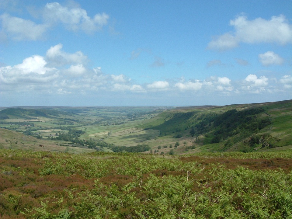
North York Moors National Park, EN
Steep bracken descent into a quiet dale, then flagged open moorland
Overview
A circular loop of 9.3 km (5.8 miles) starting and finishing at the free Danby Head car park, beside the Millennium Stone. Allow about 4 hours. Around 3 km of the total is road walking, and the route climbs about 275 m and descends about 277 m, moving between roughly 162 m and 421 m between the moor top and the dale head.
Map & elevation
Plan your hike

The highest, rockiest slopes around here are a summer buffet for grizzly bears.
North York Moors Tour Guide
Parkwolf is a GPS audio tour guide for North York Moors National Park. As you drive, it chimes in with what’s ahead: hidden gems, upcoming stops, history, geology, and wildlife, right through your car’s speakers.
Recorded for this trailhead
Danby Head and Great Fryup Dale“You're approaching Danby Head, the start of a demanding loop through Great Fryup Dale and Glaisdale Moor. The path drops through rough bracken into the dale, then climbs back to a stone-flagged causeway across open moor.”
Plays as you drive up to this trailhead in the Parkwolf North York Moors Tour Guide.
More stories near here in the app
“Fantastic app with many points of information… It’s great to just turn on while you’re driving and it gives you an audio tour of the national Park. We love it!!!!”


Trail guide
The route sets out on road, then turns onto a bridleway that drops through bracken and farmland near Woodhead Farm and Wood End Farm, crossing a stream on boards. It works along the head of Great Fryup Dale, passing the viewpoints at Yew Grain Scar and the hummocky ground known as The Hills, crosses a second stream on boards, and climbs back out. The later part crosses open Glaisdale Moor on the flagged George Gap causeway, with a road section returning you to Danby Head.
Rated moderate to hard (6/10). The distance is modest, but there are steep ascents and descents, rough bracken and grass underfoot on the bridleway, two stream crossings on boards, and open, exposed moorland.
Expect variety and some rough going:
Route-finding needs attention where bracken and rough vegetation obscure the line, so carry a map and compass or a GPS track for the dale head and the open moor.
A quiet walk with a contrast between high moorland and enclosed dale. Yew Grain Scar gives broad views over Great Fryup Dale, while The Hills are irregular hummocks formed by glacial landslide, seen from the bridleway alongside them. Heather, bracken, rough grass, field walls and wide dale views make up the scenery.
Dogs may use the public rights of way on this route. They should generally stay on those rights of way and be kept on a short lead or at heel, particularly from 1 March to 31 July and near livestock. The route passes farmland with grazing animals, so gates and lead control matter throughout.
Start at the free Danby Head car park by the Millennium Stone. There is no formal accessibility classification for this route, and the bridleway sections are rough and steep in places.
Wildlife
 15 sightingsEurasian OtterMost seen around 7 PMSighting map
 10 sightingsRed DeerMost seen around 7 AMSighting map
 79 sightingsGrey SealMost seen around noonSighting map
 26 sightingsWestern Barn OwlMost seen around 7 PMSighting map
 33 sightingsEuropean BadgerMost seen around 7 PMSighting map
 10 sightingsMute SwanMost seen around noonSighting map
Sighting maps show where each species has been reported across North York Moors. Wildlife moves, so no sighting is guaranteed.
Keep exploring
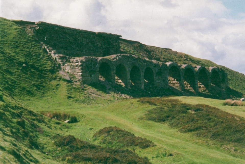 ModerateMiles without Stiles (For some) - Rosedale Railway and Kilns14.6 km · 3.9 hr · 2.7 km awayNine level miles of old railway to Rosedale's 16-arch ironstone kilns
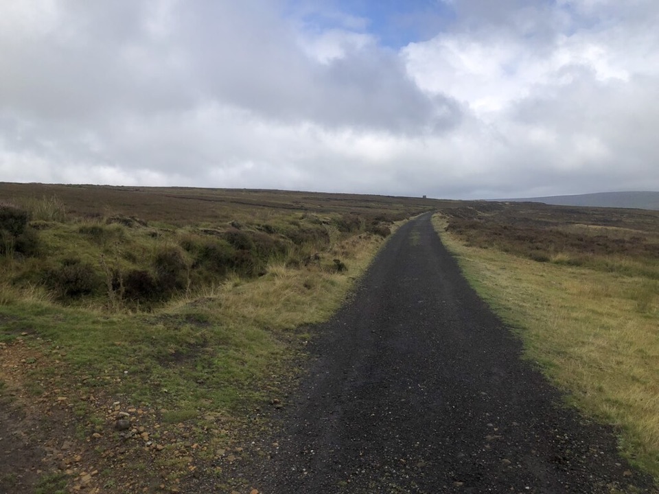 ModerateRosedale Walk12.1 km · 5 hr · 6 km awayPriory ruins, dale farms and an old ironstone railway: 12 km loopModerateRosedale Abbey and Blakey Ridge Circular Walk10 km · 3.8 hr · 6 km awayRiverside fields climb to an old ironstone railway high above Rosedale
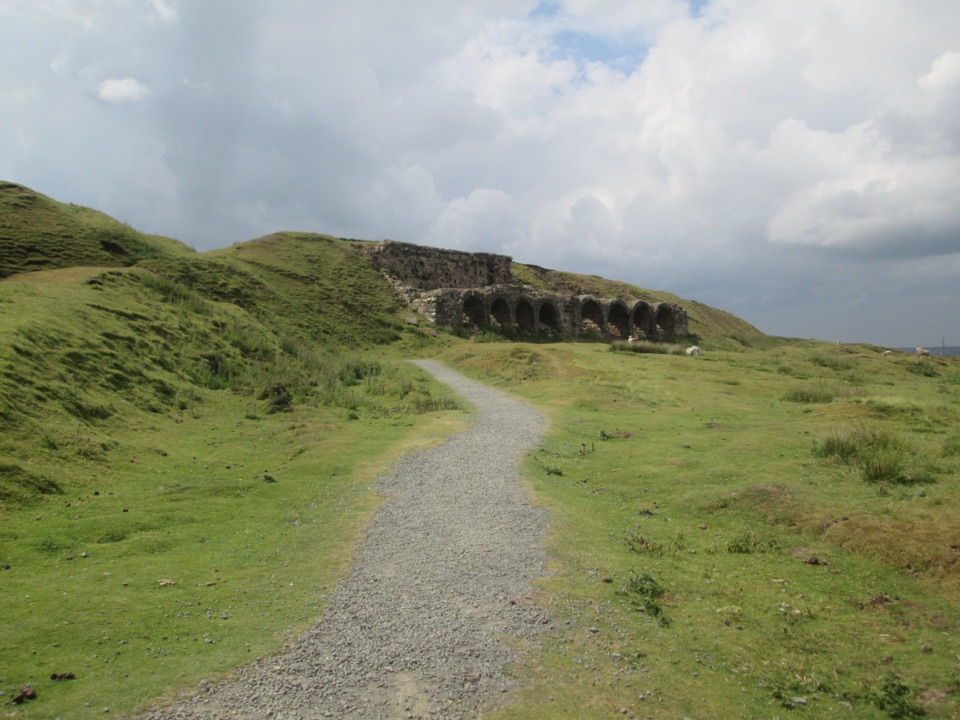 EasyMiles without Stiles (For many) - Rosedale Mineral Railway2 km · 1 hr · 6.5 km awayLevel cinder railway past ironstone kilns to a bench above Rosedale
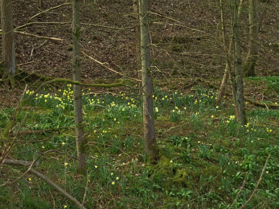 EasyFarndale Daffodil Walk5.6 km · 2 hr · 6.5 km awayWild daffodils line the River Dove on an easy 3.5-mile dale loopEasyMiles without Stiles (For some) - Farndale Daffodil Walk6 km · 1.6 hr · 6.5 km awaySurfaced riverside walk to Church Houses through wild daffodil meadows
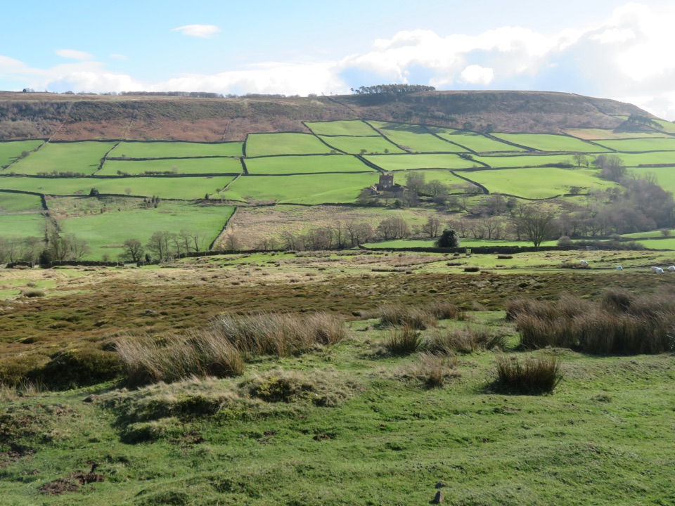 ModerateDanby, Ainthorpe and Little Fryup Dale Walk9 km · 3.3 hr · 7.3 km awayRidge views, a standing stone and a castle above Little Fryup Dale
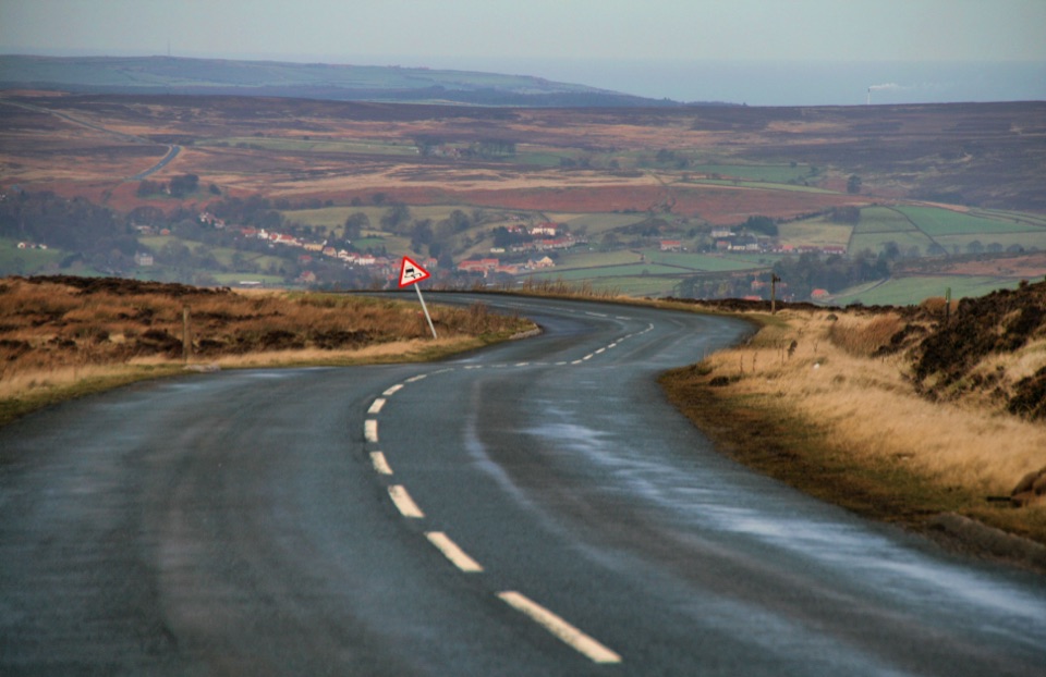 ChallengingDanby Dale, Blakey and Westerdale (Esk Valley Walk 1)24.5 km · 6.5 hr · 7.3 km awayBig moorland loop from Castleton over Blakey Ridge past Fat Betty
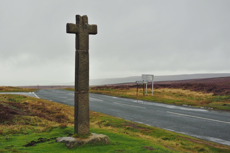 Sight · 2.2 km awayYoung Ralph CrossThe park's emblem in stone, alone on high open moorland
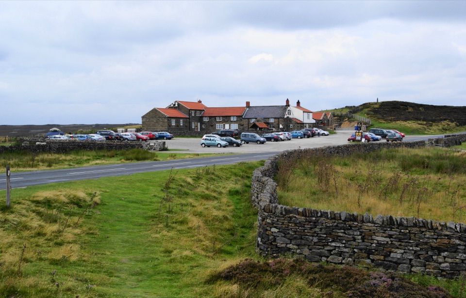 Restaurant · 2.4 km awayThe Lion Inn, Blakey RidgeOpen fires and vast moorland views at a 16th-century ridge-top freehouse
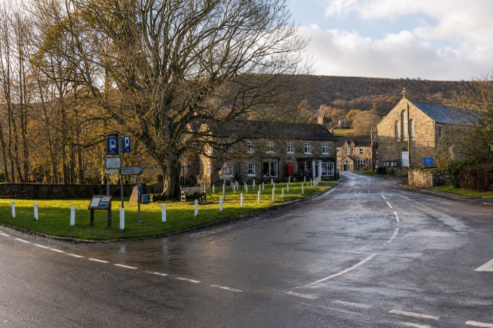 Sight · 5.9 km awayRosedale AbbeyGreen-centred dale village with ironstone kilns and moorland walks
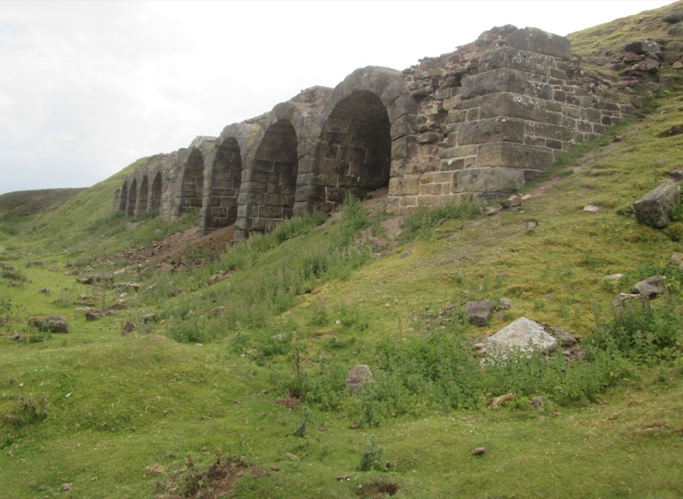 Sight · 6.8 km awayBank Top KilnsVictorian ironstone roasting arches standing open on the Rosedale moor
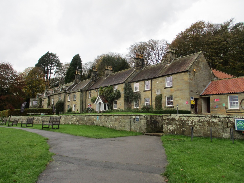 Visitor center · 7.4 km awayDanby Lodge National Park CentreDanby Lodge: riverside grounds, adventure play and ironstone heritage
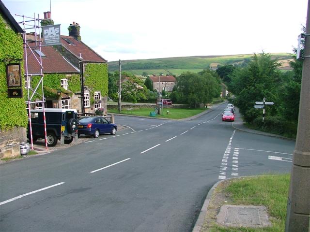 Sight · 7.5 km awayDanbyStone estate cottages where the Esk Valley meets open moorland
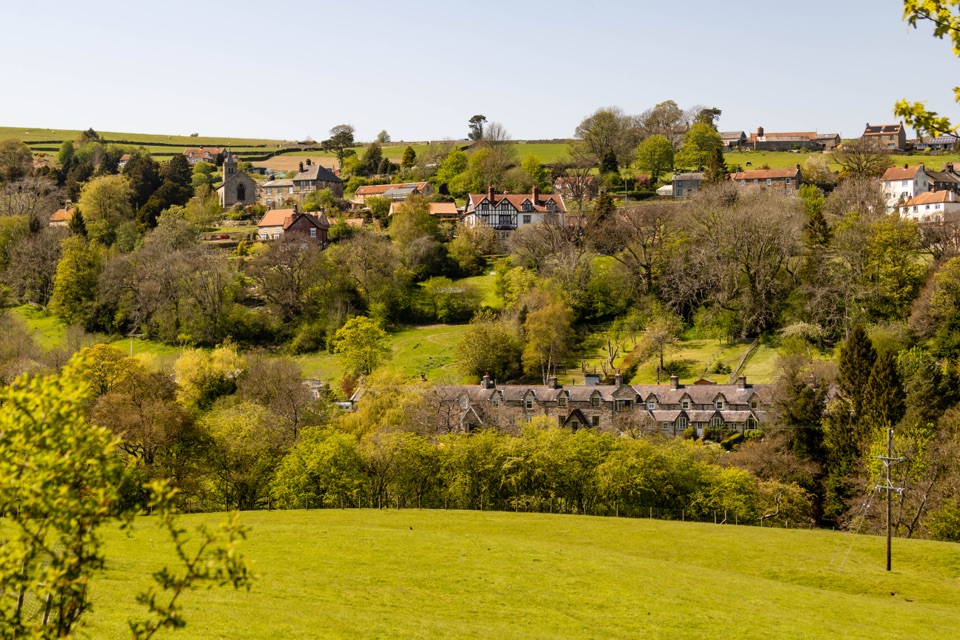 Sight · 8.9 km awayGlaisdaleStone cottages on a steep Esk Valley hillside, walks below
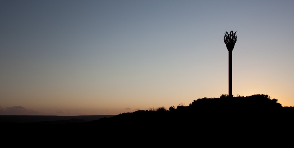 Sight · 8.9 km awayDanby BeaconFlame-shaped steel beacon on high moor, with sweeping coastal views
Parkwolf’s North York Moors ranking

The audio tour guide for the drive, plus offline maps, trails, and wildlife heatmaps for when the signal drops.





