Parking
Two crushed-aggregate car parks at Blakey Junction have space for 20+ vehicles on firm, reasonably level surfaces. Parking is free; spaces are not marked for Blue Badge holders. A seasonal Moorsbus service stops at Blakey Junction.
North York Moors National Park, EN
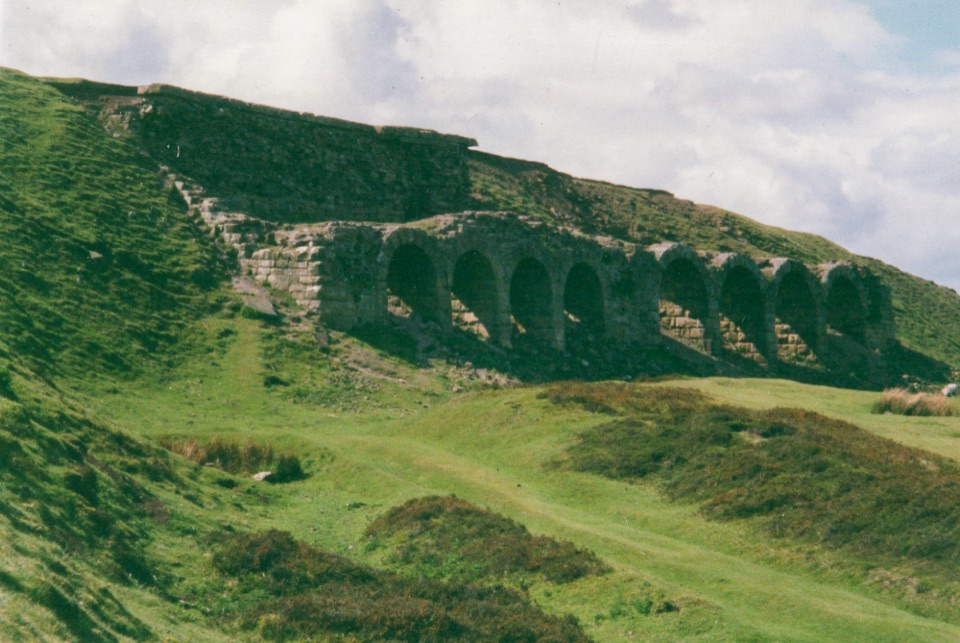
Nine level miles of old railway to Rosedale's 16-arch ironstone kilns
Overview
The payoff is a long, genuinely accessible railway walk with broad views over Rosedale and out across heather moor, ending at the striking 16-arch line of kilns. Information panels at Blakey Junction and at the kilns explain the line and the ironstone industry: the railway opened in 1861, moved more than 10 million tonnes of stone, and closed in 1929. Clear weather makes the valley views much better. Look and listen for red grouse and kestrels along the way.
 Parkwolf’s verdictWhy Go
Map & elevation
Plan your hike

The highest, rockiest slopes around here are a summer buffet for grizzly bears.
North York Moors Tour Guide
Parkwolf is a GPS audio tour guide for North York Moors National Park. As you drive, it chimes in with what’s ahead: hidden gems, upcoming stops, history, geology, and wildlife, right through your car’s speakers.
Recorded for this trailhead
Blakey Junction and the Rosedale Railway“You're approaching Blakey Junction, the start of a mostly level walk on the old Rosedale Railway.”
Plays as you drive up to this trailhead in the Parkwolf North York Moors Tour Guide.
More stories near here in the app
“Fantastic app with many points of information… It’s great to just turn on while you’re driving and it gives you an audio tour of the national Park. We love it!!!!”


Trail guide
An out-and-back route of 9.1 miles (14.6 km) in total, counting the return leg, not one way. Allow around 4 hours. From Blakey Junction car park a short access path drops onto the bed of the former Rosedale Railway, which then curves around the head of Rosedale through cuttings and along embankments to the Stone and Iron Kilns. You return by the same track.
Practical difficulty is moderate, about 5 out of 10. Gradients are gentle and the surface is firm, but the distance is long for an accessible route and there is no shortcut back once you are around the valley. Turning back early is easy, since the route retraces itself.
Graded Miles Without Stiles, For Some. The track is a level, even stone-and-cinder railway formation roughly 2.1 m wide for most of its length, with no steps and no stiles, and it is suitable for all-terrain wheelchairs, off-road mobility scooters and Trampers.
Two crushed-aggregate car parks at Blakey Junction give space for 20 or more vehicles, on firm and reasonably level ground, with no parking charge and no marked Blue Badge bays. There are no toilets at the trailhead; the nearest, including RADAR-key accessible toilets, are at Rosedale Abbey and Hutton-le-Hole car park. A seasonal Moorsbus service stops at Blakey Junction.
Dogs are welcome on this route, but keep them on short leads at all times to protect nesting birds, other wildlife and sheep; short leads are required on moorland through the nesting season in any case. The kilns and other industrial remains are fragile, so stay on the track and keep off the walls and structures.
If 9.1 miles is more than you want, the separate Rosedale Bank Top walk offers a much shorter taste of the same railway and ironstone landscape.
Wildlife
 15 sightingsEurasian OtterMost seen around 7 PMSighting map
 10 sightingsRed DeerMost seen around 7 AMSighting map
 79 sightingsGrey SealMost seen around noonSighting map
 26 sightingsWestern Barn OwlMost seen around 7 PMSighting map
 33 sightingsEuropean BadgerMost seen around 7 PMSighting map
 10 sightingsMute SwanMost seen around noonSighting map
Sighting maps show where each species has been reported across North York Moors. Wildlife moves, so no sighting is guaranteed.
Keep exploring
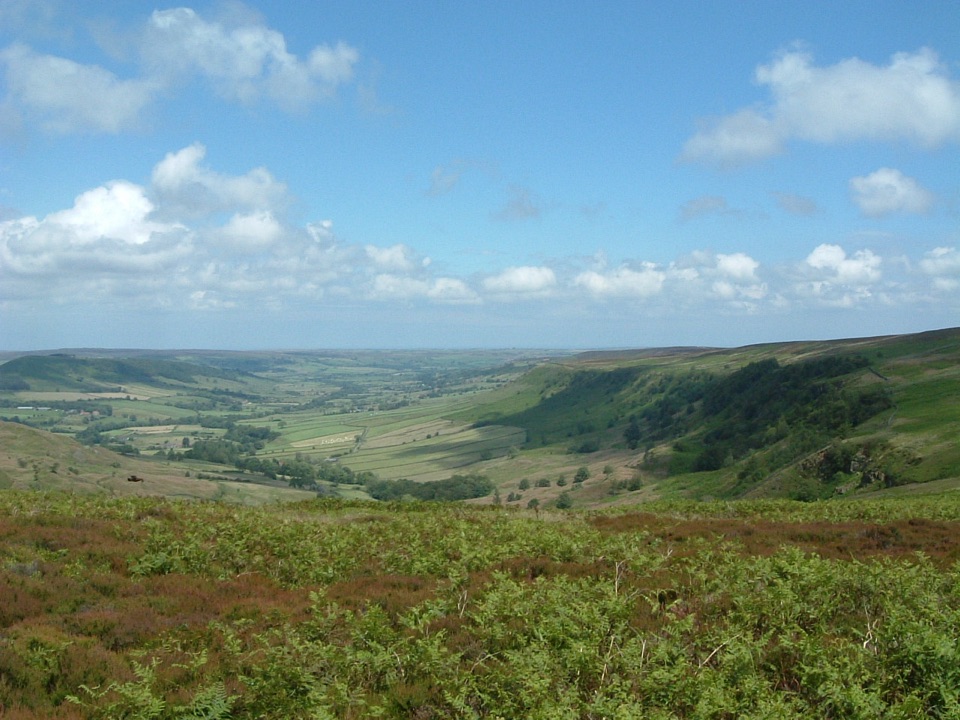 ModerateGreat Fryup Dale and Glaisdale Moor9.3 km · 4 hr · 2.7 km awaySteep bracken descent into a quiet dale, then flagged open moorland
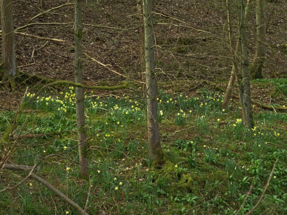 EasyFarndale Daffodil Walk5.6 km · 2 hr · 3.9 km awayWild daffodils line the River Dove on an easy 3.5-mile dale loopEasyMiles without Stiles (For some) - Farndale Daffodil Walk6 km · 1.6 hr · 3.9 km awaySurfaced riverside walk to Church Houses through wild daffodil meadows
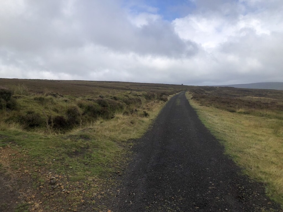 ModerateRosedale Abbey and Blakey Ridge Circular Walk10 km · 3.8 hr · 5.1 km awayRiverside fields climb to an old ironstone railway high above RosedaleModerateRosedale Walk12.1 km · 5 hr · 5.1 km awayPriory ruins, dale farms and an old ironstone railway: 12 km loop
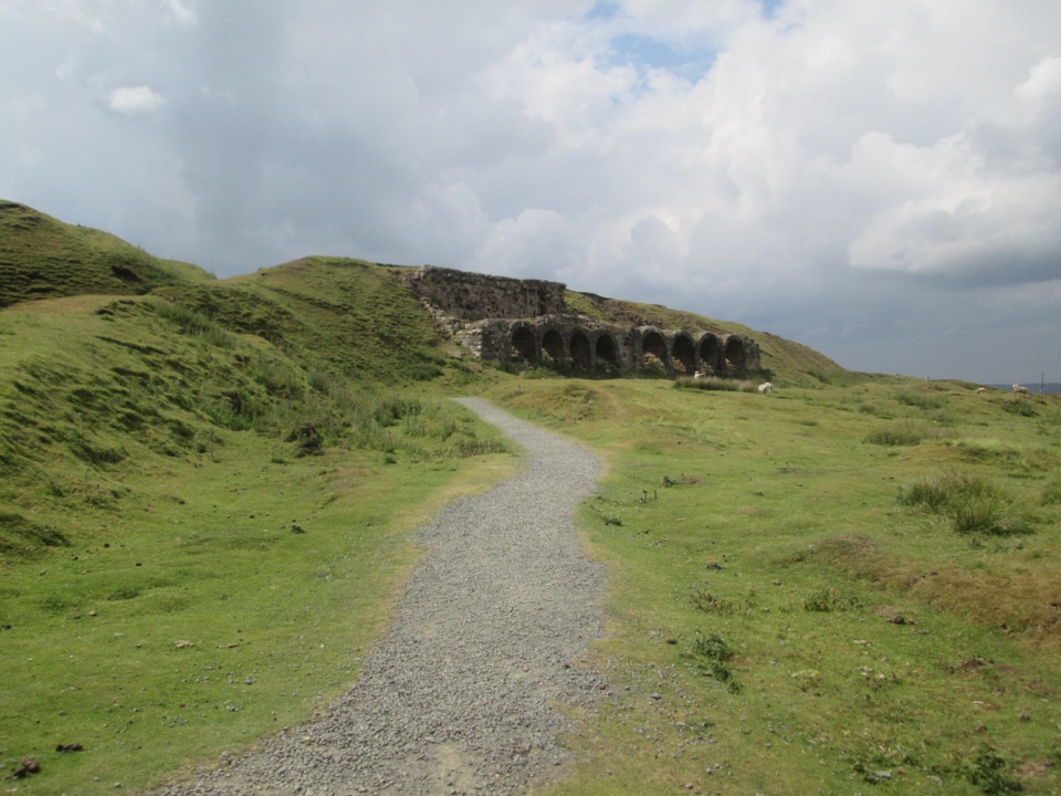 EasyMiles without Stiles (For many) - Rosedale Mineral Railway2 km · 1 hr · 5.2 km awayLevel cinder railway past ironstone kilns to a bench above Rosedale
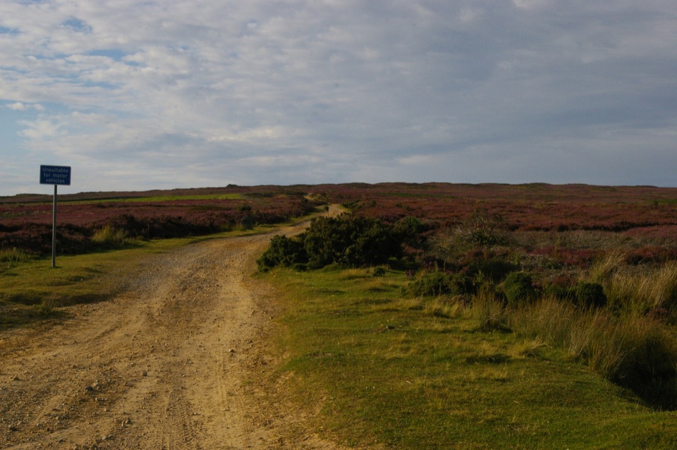 ChallengingRudland Rigg, Cockayne, Bilsdale East Moor and Bransdale19 km · 5 hr · 6.7 km awayOld drove road ridge, hidden dale hamlet and a long moor return
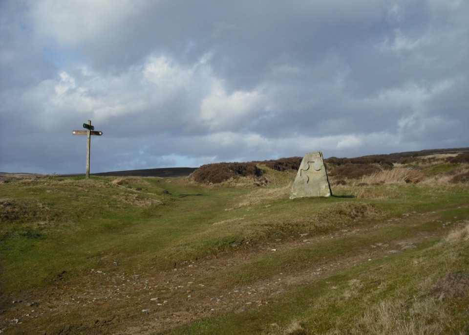 ModerateHutton-le-Hole and Lastingham Circular Walk6.4 km · 2.5 hr · 9 km awayField paths and moor edge link two villages under Spaunton's escarpment
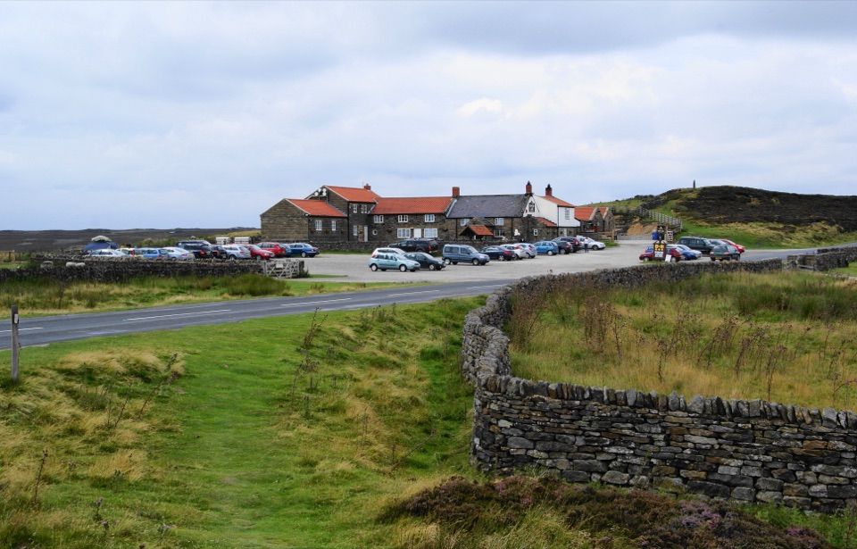 Restaurant · 0.9 km awayThe Lion Inn, Blakey RidgeOpen fires and vast moorland views at a 16th-century ridge-top freehouse
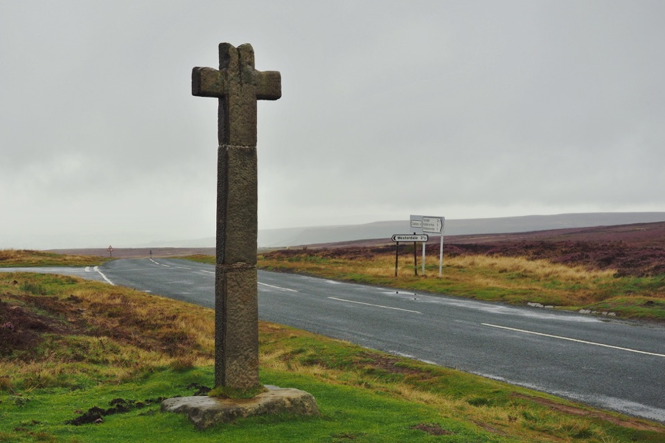 Sight · 3.2 km awayYoung Ralph CrossThe park's emblem in stone, alone on high open moorland
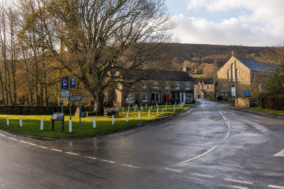 Sight · 5 km awayRosedale AbbeyGreen-centred dale village with ironstone kilns and moorland walks
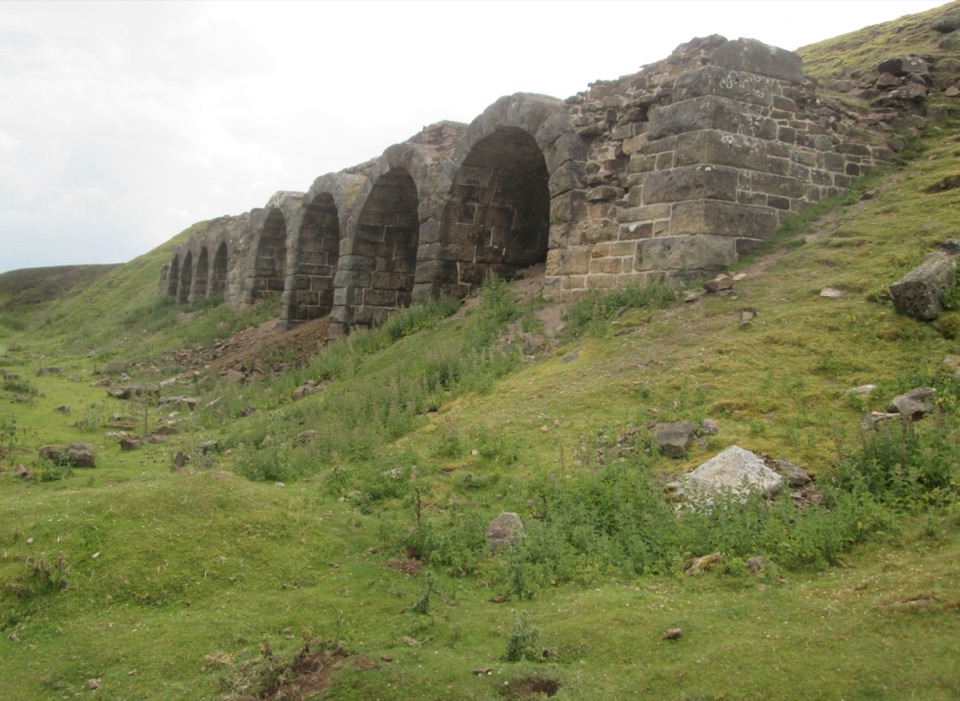 Sight · 5.5 km awayBank Top KilnsVictorian ironstone roasting arches standing open on the Rosedale moor
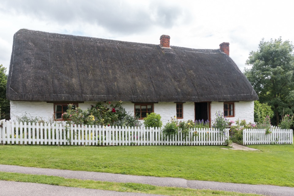 Sight · 9.1 km awayRyedale Folk MuseumRebuilt dales cottages and workshops you can walk right into
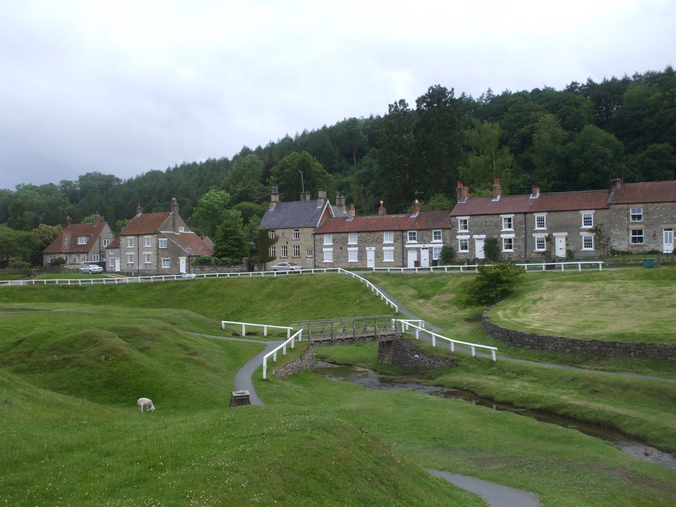 Sight · 9.2 km awayHutton-le-HoleHutton-le-Hole: clear moorland beck threading a broad, sheep-cropped green
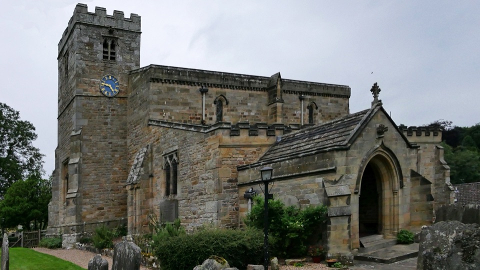 Sight · 9.6 km awaySt Mary's Church, LastinghamA rare double-aisled Norman crypt beneath a moor-edge village church
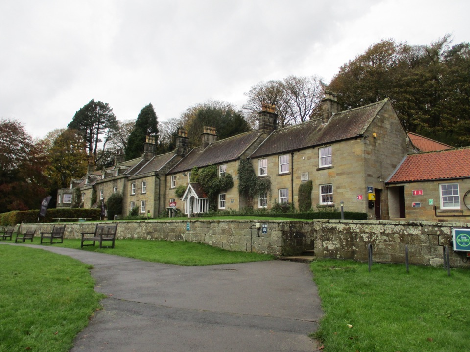 Visitor center · 10 km awayDanby Lodge National Park CentreDanby Lodge: riverside grounds, adventure play and ironstone heritage
Parkwolf’s North York Moors ranking
The audio tour guide for the drive, plus offline maps, trails, and wildlife heatmaps for when the signal drops.





