Parking
This is a point-to-point route rather than a loop with one parking lot: begin in Castleton near Castleton Moor station and plan the return from Whitby by rail.
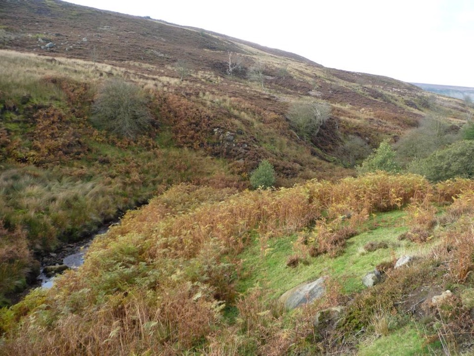
North York Moors National Park, EN
Follow the Esk from high heather moors down to Whitby harbour
Overview
Map & elevation
Plan your hike

The highest, rockiest slopes around here are a summer buffet for grizzly bears.
North York Moors Tour Guide
Parkwolf is a GPS audio tour guide for North York Moors National Park. As you drive, it chimes in with what’s ahead: hidden gems, upcoming stops, history, geology, and wildlife, right through your car’s speakers.
Recorded for this area
Walk One Way, Ride Back“The Esk Valley Railway gives you a way to walk through the moors without retracing your steps. Its trains link Castleton Moor, Danby, Lealholm, Grosmont and Whitby.”
Plays on the road 0.8 km from the trailhead in the Parkwolf North York Moors Tour Guide.
More stories near here in the app
“Fantastic app with many points of information… It’s great to just turn on while you’re driving and it gives you an audio tour of the national Park. We love it!!!!”


Trail guide
The Esk Valley Walk is a waymarked point-to-point regional route of about 37 miles (60 km) from Castleton to Whitby, measured as the complete signed line including the opening moorland circuit. Reckon on roughly 18 hours of walking spread over three to four days. Waymarking is a leaping salmon, with yellow arrows for footpaths and blue for bridleways.
The walk is built as four official sections, and it reads as a source-to-sea story.
The payoff is the change in scale: heather moorland, moorland crosses including Fat Betty and Young Ralph, and the infant river up high, then wooded gorges, ancient woodland near Mill Wood, stepping stones at Lealholm and Egton Bridge, Grosmont and its heritage railway, and finally the tidal Esk into Whitby harbour.
The first day is the hard one. EVW1 is graded difficult, around 6 hours 30 minutes, with 1,430 ft of ascent and a high point of 1,362 ft, and it is the most strenuous moorland section. EVW2 is moderate at about 3 hours with 699 ft of ascent, and EVW3 is moderate at about 2 hours 25 minutes with 246 ft of ascent. Once you are off the high ground the climbing eases considerably.
Surfaces are mixed: moorland paths, tracks, riverside paths, farmland and farmyards, plus bridges and stepping stones. On the open moor conditions can change quickly and visibility can drop, so carry a map and compass and be prepared to navigate rather than rely on sightlines. Field and farmyard sections need care with gear and with livestock.
The Esk Valley Railway is the practical key to this walk. Castleton, Lealholm and Grosmont all have stations on the route, and Whitby is both the finish and a return point. The start is close to Castleton Moor station. That makes it easy to walk one section at a time and travel back, which is the sensible approach if you do not want to book several nights of accommodation.
Dogs must stay on the public right of way and be kept under control around livestock. On moorland they should be on a short lead or kept to heel, particularly from 1 March to 31 July when ground-nesting birds such as merlin and golden plover are breeding. Keep them close through farmland and farmyards and near river and woodland wildlife.
Being point-to-point, the complete walk needs transport planning at both ends and accommodation in between, and the demanding opening loop sits right at the start rather than after a warm-up. If you want the flavour without the commitment, walk Lealholm to Grosmont (5.8 miles) for the river, stepping stones and woodland, or Grosmont to Whitby (8 miles) to finish at the harbour, using the railway to get back. Save the Castleton circuit for a long, clear day.
Wildlife
 15 sightingsEurasian OtterMost seen around 7 PMSighting map
 10 sightingsRed DeerMost seen around 7 AMSighting map
 79 sightingsGrey SealMost seen around noonSighting map
 26 sightingsWestern Barn OwlMost seen around 7 PMSighting map
 33 sightingsEuropean BadgerMost seen around 7 PMSighting map
 10 sightingsMute SwanMost seen around noonSighting map
Sighting maps show where each species has been reported across North York Moors. Wildlife moves, so no sighting is guaranteed.
Keep exploring
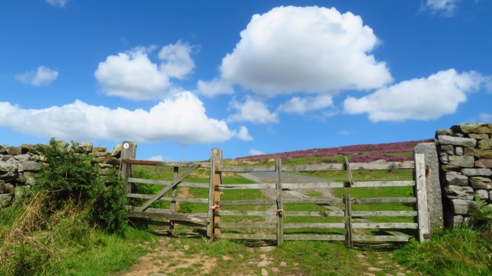 ModerateCastleton to Lealholm (Esk Valley Walk 2)12.1 km · 4 hr · 0.1 km awayWooded valley paths climb to Danby Beacon, then moor down to Lealholm
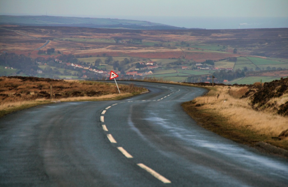 ChallengingDanby Dale, Blakey and Westerdale (Esk Valley Walk 1)24.5 km · 6.5 hr · 0.1 km awayBig moorland loop from Castleton over Blakey Ridge past Fat Betty
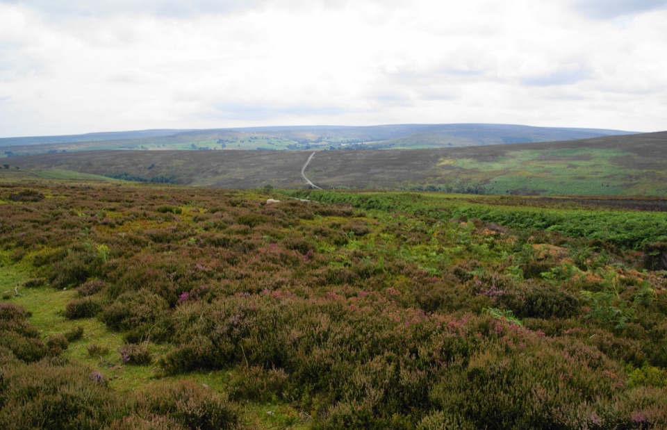 ModerateKildale Moor Walk14 km · 4.3 hr · 3.1 km awayRough, boggy moorland loop with big views and almost no waymarkers
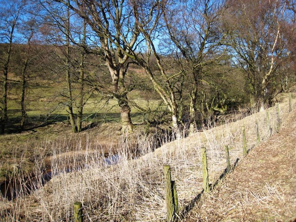 ModerateBaysdale Circular15.3 km · 5.5 hr · 3.3 km awayRemote moorland circuit above Baysdale Beck, past a private abbey site
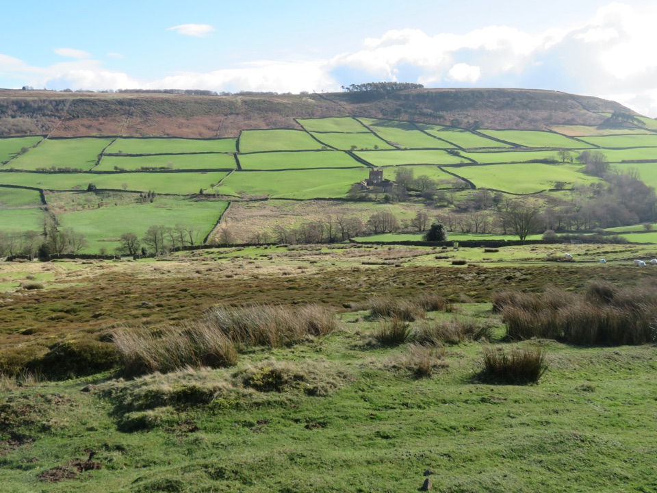 ModerateDanby, Ainthorpe and Little Fryup Dale Walk9 km · 3.3 hr · 3.3 km awayRidge views, a standing stone and a castle above Little Fryup Dale
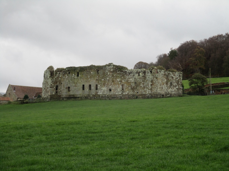 EasyDanby Castle Walk3.7 km · 1 hr · 3.3 km awayA short loop to a castle spur, returning over humpbacked Duck Bridge
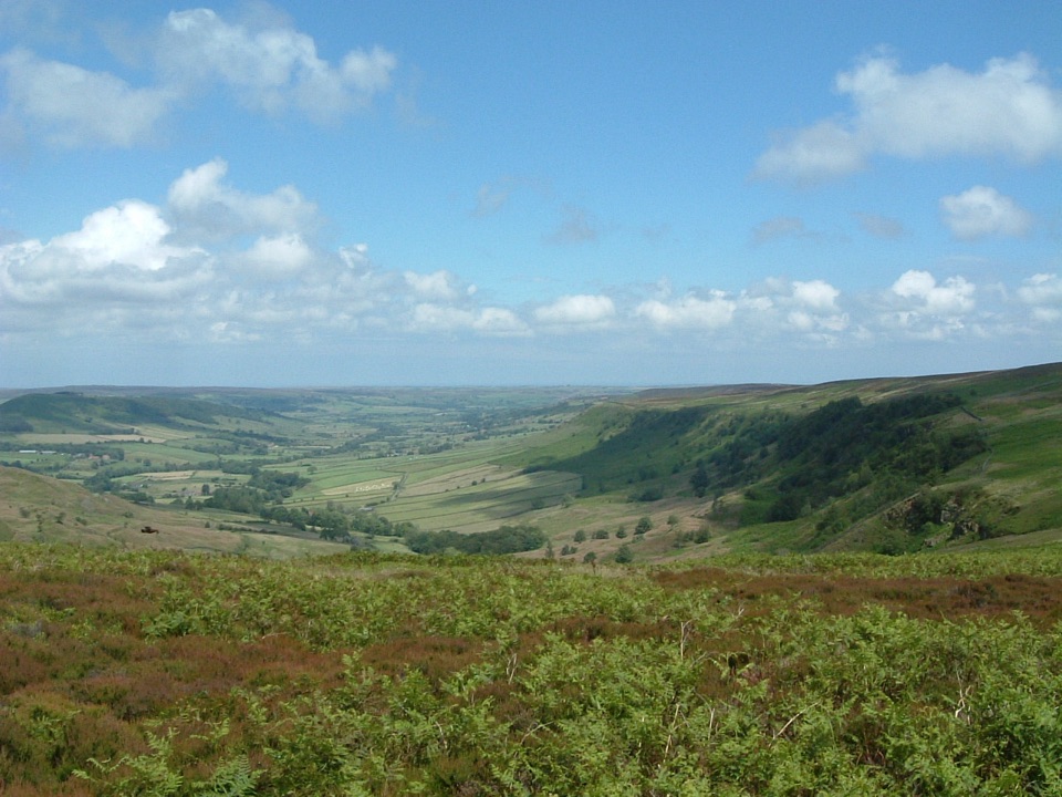 ModerateGreat Fryup Dale and Glaisdale Moor9.3 km · 4 hr · 7.4 km awaySteep bracken descent into a quiet dale, then flagged open moorland
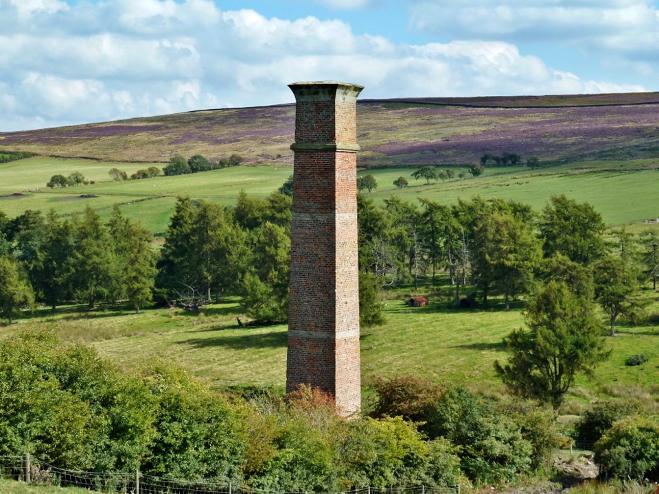 ModerateWarren Moor Mine from Kildale5.3 km · 1.5 hr · 7.9 km awayQuiet lanes and a steep grass descent to a lost ironstone mine
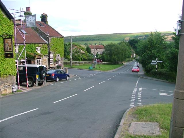 Sight · 2.4 km awayDanbyStone estate cottages where the Esk Valley meets open moorland
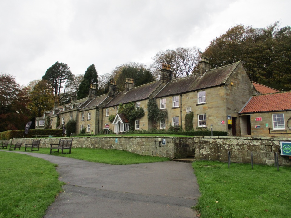 Visitor center · 3.3 km awayDanby Lodge National Park CentreDanby Lodge: riverside grounds, adventure play and ironstone heritage
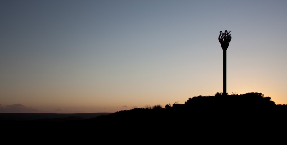 Sight · 5.3 km awayDanby BeaconFlame-shaped steel beacon on high moor, with sweeping coastal views
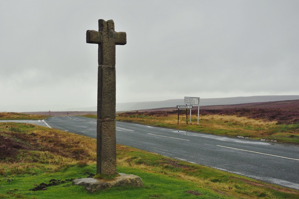 Sight · 6.4 km awayYoung Ralph CrossThe park's emblem in stone, alone on high open moorland
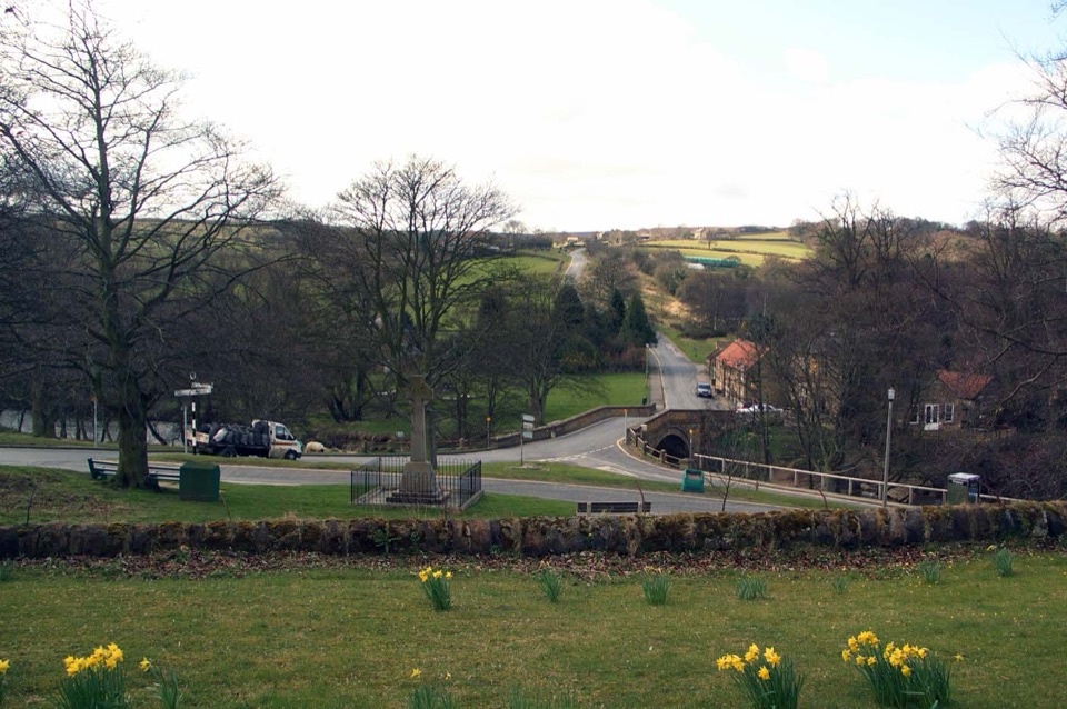 Sight · 8 km awayLealholmStepping stones, a 17th-century bridge and a green by the Esk
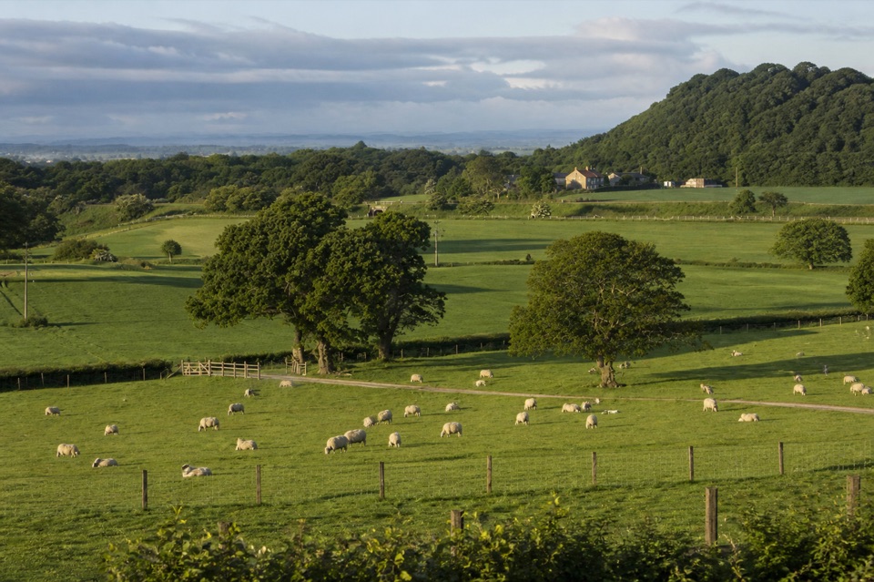 Campground · 8.1 km awayKildale Camping Barn and CampsiteQuiet working-farm pitches a field from the Cleveland Way
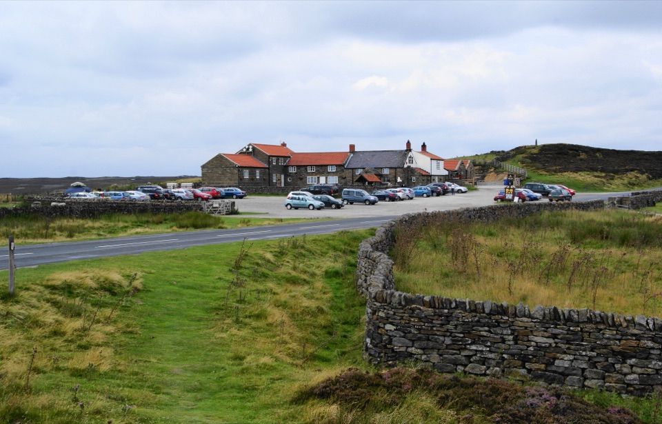 Restaurant · 8.8 km awayThe Lion Inn, Blakey RidgeOpen fires and vast moorland views at a 16th-century ridge-top freehouse
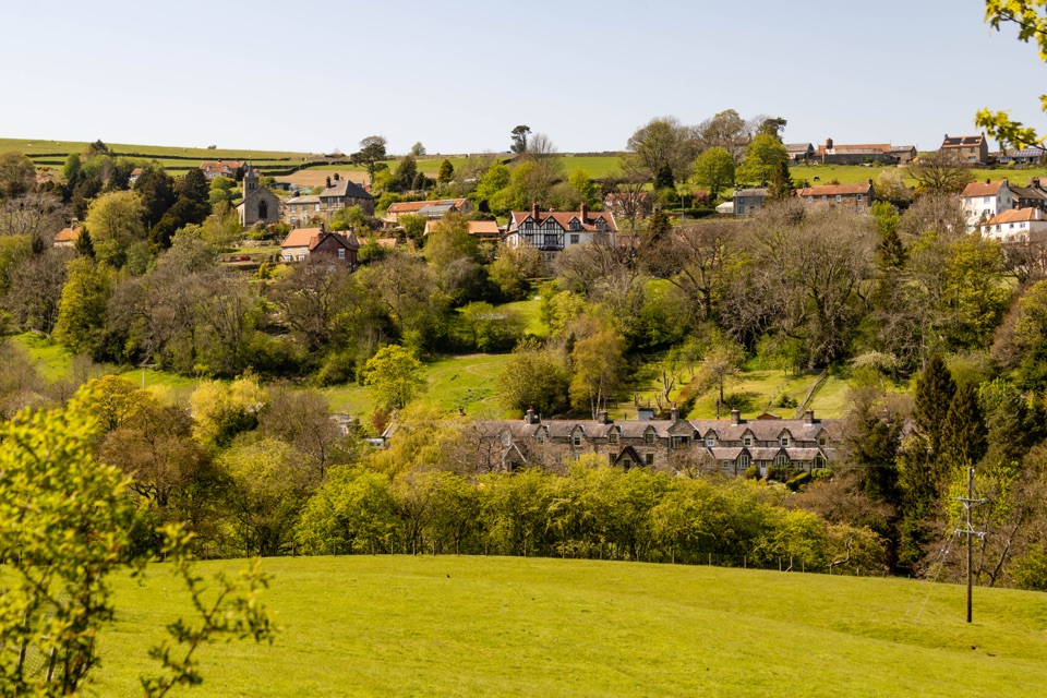 Sight · 9.4 km awayGlaisdaleStone cottages on a steep Esk Valley hillside, walks below
Parkwolf’s North York Moors ranking

The audio tour guide for the drive, plus offline maps, trails, and wildlife heatmaps for when the signal drops.





