Parking
Low Mill Car Park on Daleside Road, Farndale, about 4 miles (6.4 km) northeast of Hutton-le-Hole. Start and finish here.
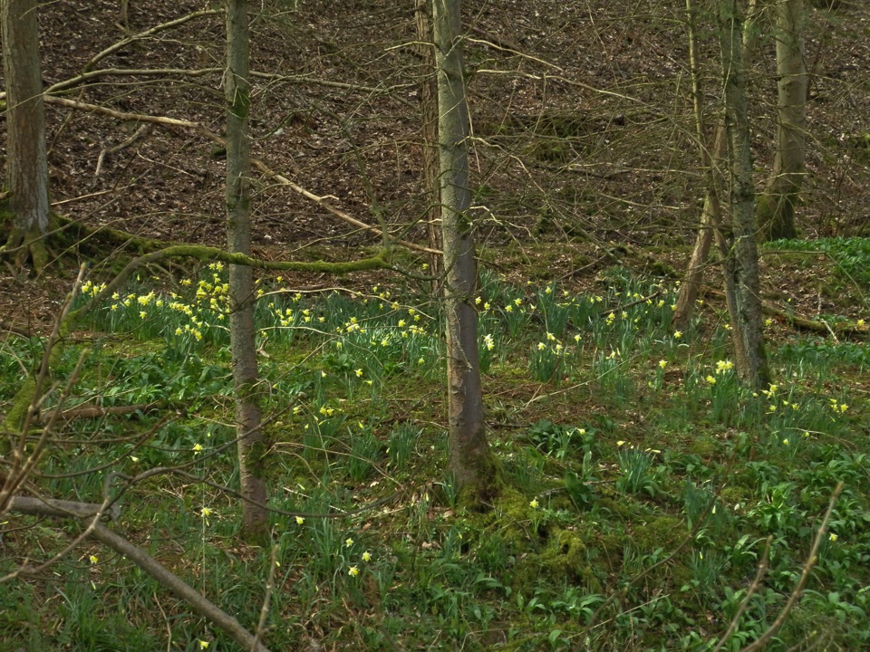
North York Moors National Park, EN
Surfaced riverside walk to Church Houses through wild daffodil meadows
Overview
Map & elevation
Plan your hike

The highest, rockiest slopes around here are a summer buffet for grizzly bears.
North York Moors Tour Guide
Parkwolf is a GPS audio tour guide for North York Moors National Park. As you drive, it chimes in with what’s ahead: hidden gems, upcoming stops, history, geology, and wildlife, right through your car’s speakers.
Recorded for this trailhead
Farndale Daffodil Walk“You're approaching Low Mill in Farndale, where small wild daffodils line the River Dove each spring. They usually bloom from mid-March to mid-April, but the valley and woodland make a good walk beyond flower season.”
Plays as you drive up to this trailhead in the Parkwolf North York Moors Tour Guide.
More stories near here in the app
“Fantastic app with many points of information… It’s great to just turn on while you’re driving and it gives you an audio tour of the national Park. We love it!!!!”


Trail guide
This is an out-and-back walk, and the 3.7 miles / 6.0 km figure is the total round trip. Start at Low Mill car park on Daleside Road in Farndale, about 4 miles / 6.4 km northeast of Hutton-le-Hole, then follow the River Dove upstream through riverside meadows and patches of woodland to the Church Houses end of the path. You turn around there and come back the same way along the valley, so allow around 95 minutes at a relaxed pace. Total ascent is only about 33 m.
It is an easy walk with no stiles and no steps. The path is clearly marked, largely surfaced and mostly level, with two short inclines that some people find harder work than the rest. There are several gates along the way. Even the surfaced sections can be muddy after wet weather, so footwear that copes with soft ground is a good idea.
This is a For some accessible route, which is not the same as saying it works for everyone. It is aimed at strong and confident wheelchair users with a helper, and it may suit off road mobility scooters. Families with pushchairs and strollers generally manage it well. If short gradients, gates or soft muddy patches are a problem for you, this one may be a stretch.
The payoff is the valley itself: the River Dove close at hand, open dale views, and woodland floors that fill with native wild daffodils. Wild daffodil season usually runs from about mid March to mid April, and the daffodils here are the small native species protected in the local nature reserve. Outside that window the riverside and woodland walking is still well worth doing.
There are toilets at the start and finish at Low Mill, and refreshments can be found at High Mill and at Church Houses near the turnaround.
Wildlife
 15 sightingsEurasian OtterMost seen around 7 PMSighting map
 10 sightingsRed DeerMost seen around 7 AMSighting map
 79 sightingsGrey SealMost seen around noonSighting map
 26 sightingsWestern Barn OwlMost seen around 7 PMSighting map
 33 sightingsEuropean BadgerMost seen around 7 PMSighting map
 10 sightingsMute SwanMost seen around noonSighting map
Sighting maps show where each species has been reported across North York Moors. Wildlife moves, so no sighting is guaranteed.
Keep exploring
EasyFarndale Daffodil Walk5.6 km · 2 hr · At the trailheadWild daffodils line the River Dove on an easy 3.5-mile dale loop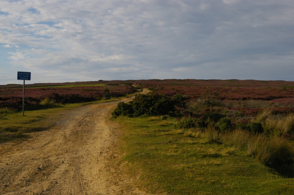 ChallengingRudland Rigg, Cockayne, Bilsdale East Moor and Bransdale19 km · 5 hr · 2.9 km awayOld drove road ridge, hidden dale hamlet and a long moor return
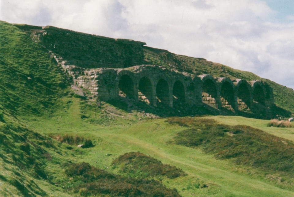 ModerateMiles without Stiles (For some) - Rosedale Railway and Kilns14.6 km · 3.9 hr · 3.9 km awayNine level miles of old railway to Rosedale's 16-arch ironstone kilns
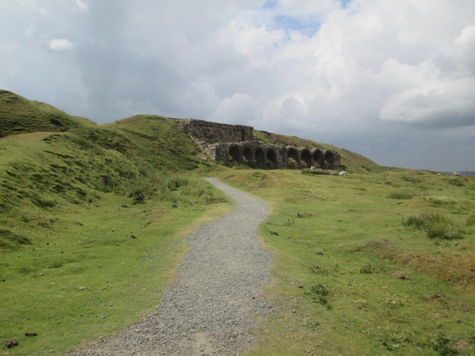 EasyMiles without Stiles (For many) - Rosedale Mineral Railway2 km · 1 hr · 4.6 km awayLevel cinder railway past ironstone kilns to a bench above Rosedale
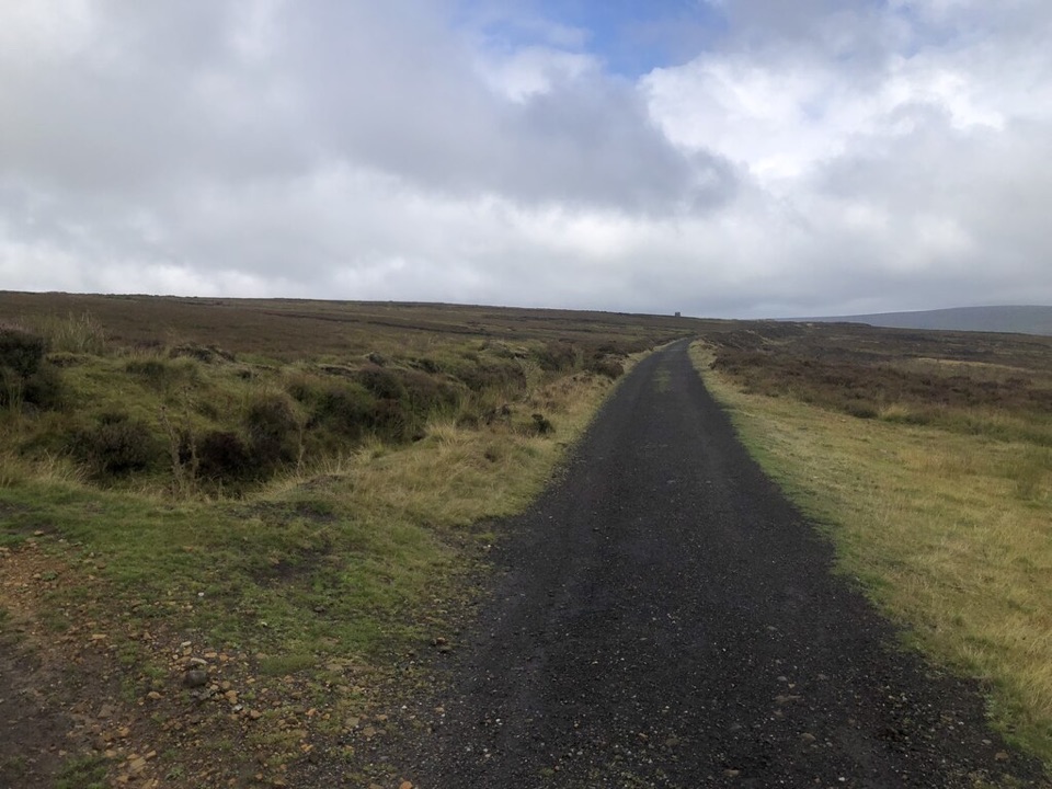 ModerateRosedale Abbey and Blakey Ridge Circular Walk10 km · 3.8 hr · 5.2 km awayRiverside fields climb to an old ironstone railway high above RosedaleModerateRosedale Walk12.1 km · 5 hr · 5.2 km awayPriory ruins, dale farms and an old ironstone railway: 12 km loop
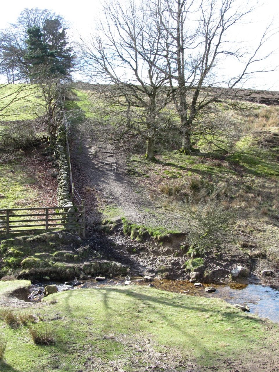 ModerateLastingham and Rosedale Circular12 km · 3.5 hr · 6 km awayMoorland loop from Hutton-le-Hole with an ancient crypt and wide views
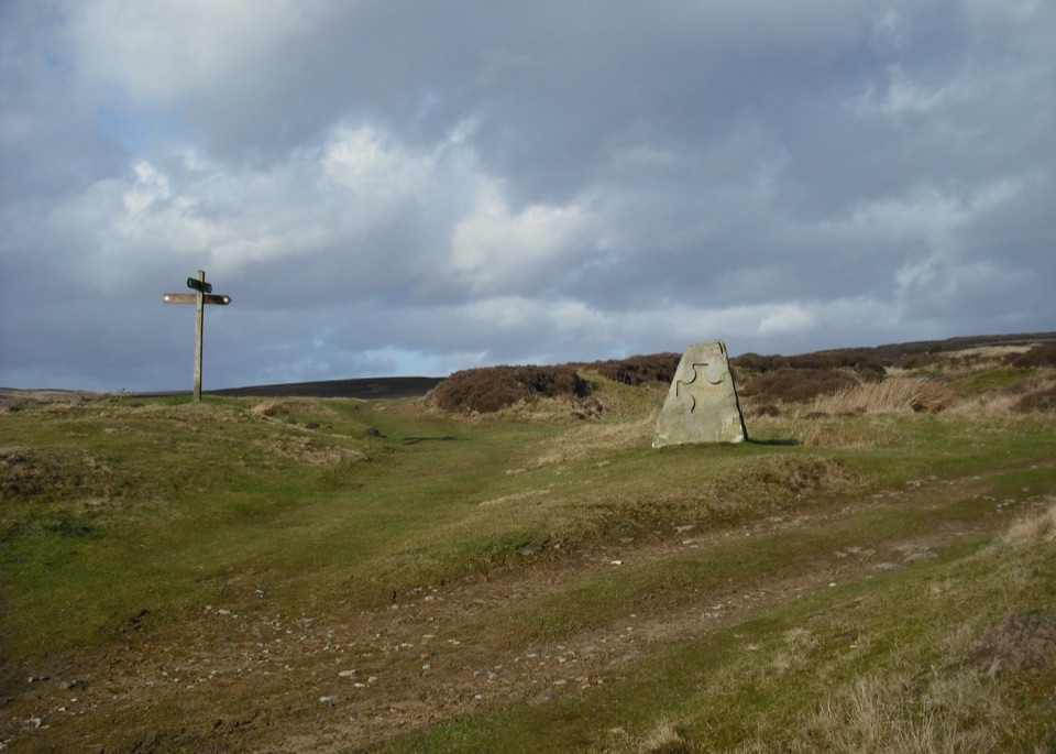 ModerateHutton-le-Hole and Lastingham Circular Walk6.4 km · 2.5 hr · 6 km awayField paths and moor edge link two villages under Spaunton's escarpment
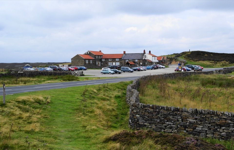 Restaurant · 4.5 km awayThe Lion Inn, Blakey RidgeOpen fires and vast moorland views at a 16th-century ridge-top freehouse
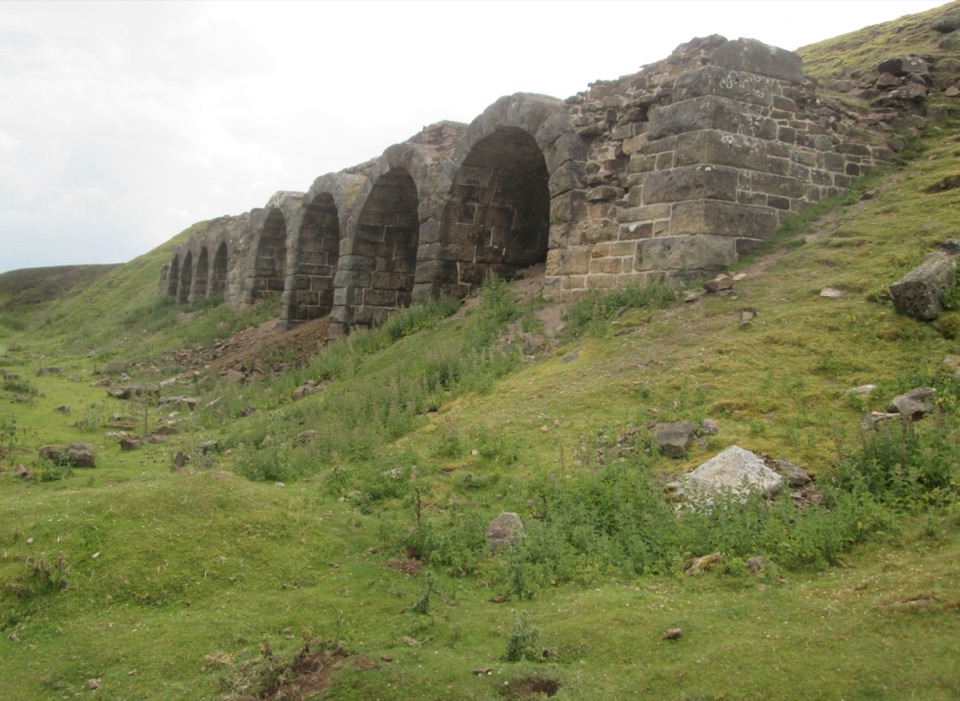 Sight · 4.8 km awayBank Top KilnsVictorian ironstone roasting arches standing open on the Rosedale moor
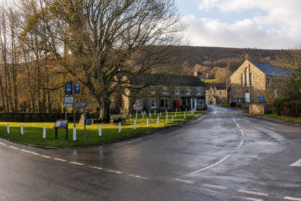 Sight · 5.2 km awayRosedale AbbeyGreen-centred dale village with ironstone kilns and moorland walks
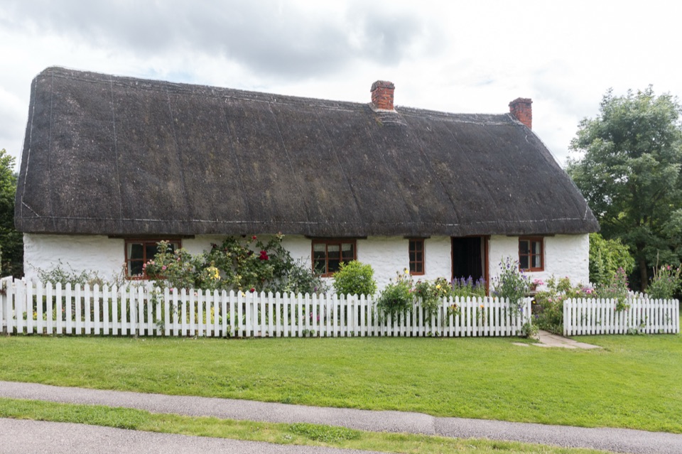 Sight · 6.1 km awayRyedale Folk MuseumRebuilt dales cottages and workshops you can walk right into
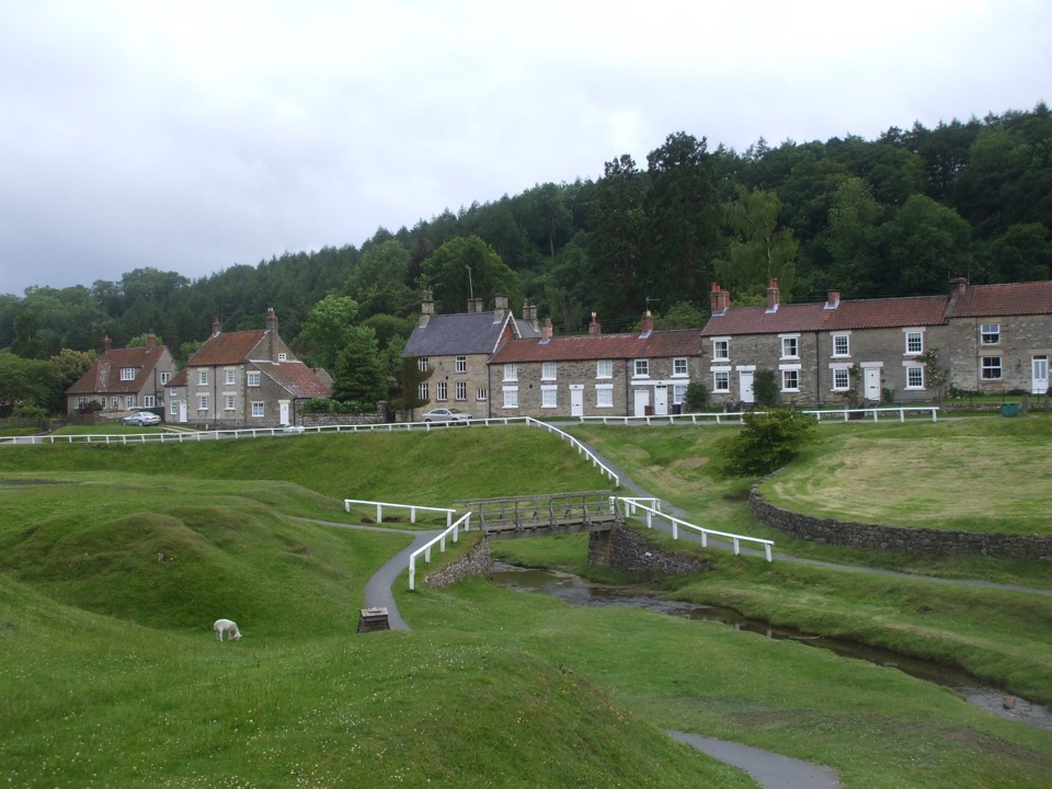 Sight · 6.2 km awayHutton-le-HoleHutton-le-Hole: clear moorland beck threading a broad, sheep-cropped green
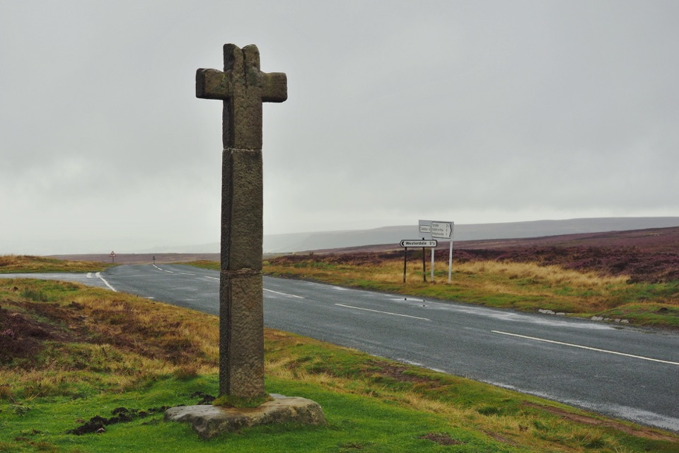 Sight · 6.9 km awayYoung Ralph CrossThe park's emblem in stone, alone on high open moorland
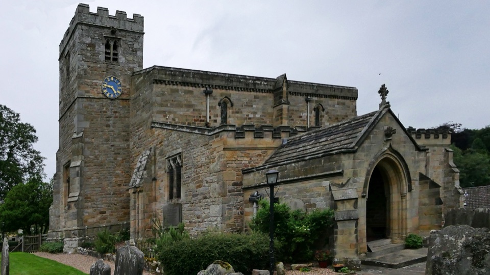 Sight · 7.3 km awaySt Mary's Church, LastinghamA rare double-aisled Norman crypt beneath a moor-edge village church
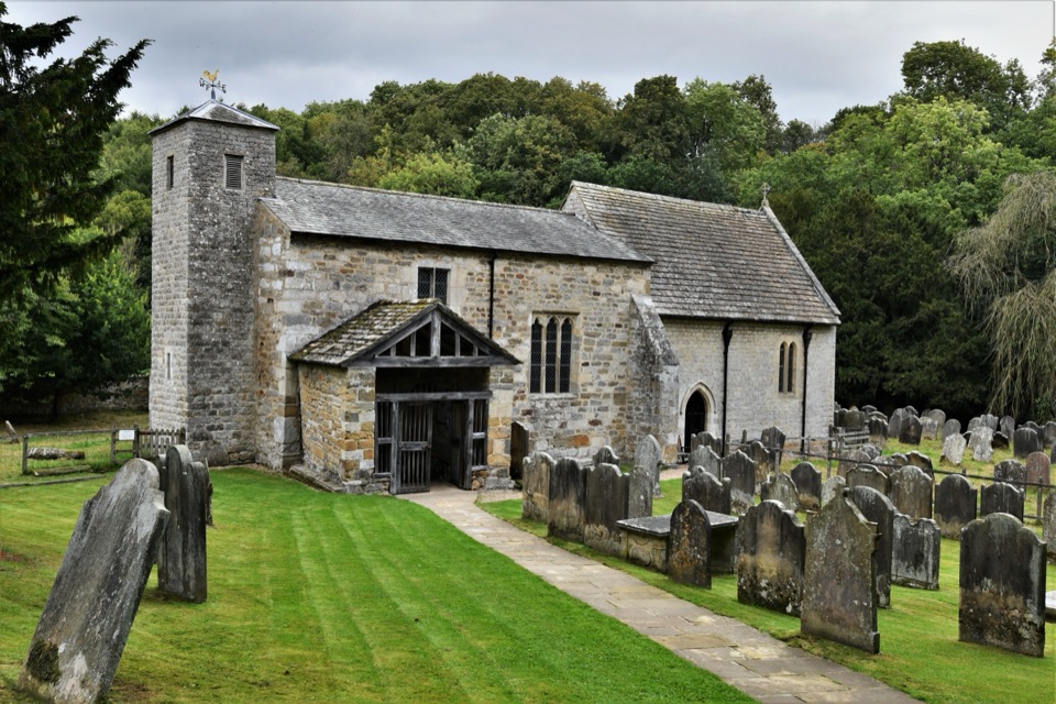 Sight · 9.5 km awaySt Gregory's Minster, KirkdaleAnglo-Saxon sundial and inscription above a quiet valley church door
Parkwolf’s North York Moors ranking

The audio tour guide for the drive, plus offline maps, trails, and wildlife heatmaps for when the signal drops.





