Parking
A few small free roadside spaces are available at the start by Nettledale, just off the road between Rievaulx and Scawton. Capacity is limited; the nearest accessible toilets are in Helmsley.
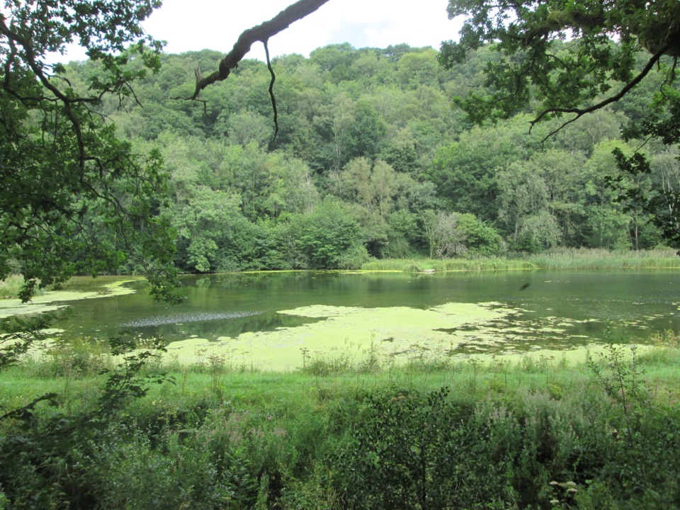
North York Moors National Park, EN
A gentle woodland track to ponds and a Cleveland Way stream crossing
Overview
An easy out-and-back on a quiet stretch of the Cleveland Way, covering about 1.0 mile (1.6 km) total. It follows a fairly level stone track along the woodland edge, with views across several ponds, then reaches a small glade and the stream crossing with stepping stones before returning the same way. The route is intended for assisted wheelchair users and sturdier all-terrain buggies, although the track can be rough in places.
Map & elevation
Plan your hike

The highest, rockiest slopes around here are a summer buffet for grizzly bears.
North York Moors Tour Guide
Parkwolf is a GPS audio tour guide for North York Moors National Park. As you drive, it chimes in with what’s ahead: hidden gems, upcoming stops, history, geology, and wildlife, right through your car’s speakers.
Recorded for this area
Rievaulx Abbey“You're approaching Rievaulx Abbey, hidden low in the wooded valley of the River Rye. Its scale only becomes clear once you're among the ruins, where the church arcades still stand several storeys high.”
Plays on the road 1.3 km from the trailhead in the Parkwolf North York Moors Tour Guide.
More stories near here in the app
“Fantastic app with many points of information… It’s great to just turn on while you’re driving and it gives you an audio tour of the national Park. We love it!!!!”


Wildlife
 15 sightingsEurasian OtterMost seen around 7 PMSighting map
 10 sightingsRed DeerMost seen around 7 AMSighting map
 79 sightingsGrey SealMost seen around noonSighting map
 26 sightingsWestern Barn OwlMost seen around 7 PMSighting map
 33 sightingsEuropean BadgerMost seen around 7 PMSighting map
 10 sightingsMute SwanMost seen around noonSighting map
Sighting maps show where each species has been reported across North York Moors. Wildlife moves, so no sighting is guaranteed.
Keep exploring
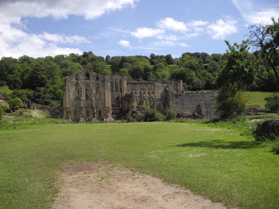 EasyMiles without Stiles (For some) - Rievaulx Loop4 km · 1.1 hr · 1.3 km awayAbbey views, bridges and bluebell woods on a short, hilly 2.5-mile loopEasyRievaulx Loop3.7 km · 1 hr · 1.3 km awayAncient canal line, Bow Bridge and abbey views in one easy hour
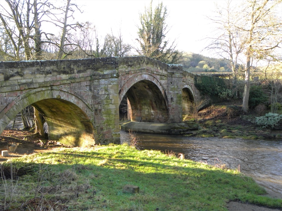 EasyRiver Folk Audio Trail3.7 km · 1 hr · 1.3 km awayShort river valley loop with downloadable audio stories by Rievaulx Abbey
 ChallengingCleveland Way National Trail175.4 km · 2.3 days · 4.7 km awayNine days from abbey ruins over heather moors to North Sea cliffs
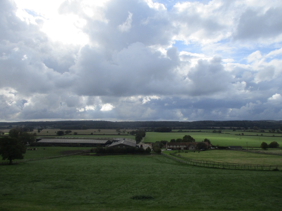 ModerateEbor Way122.9 km · 1.5 days · 4.7 km awayHelmsley to Ilkley on foot: farmland, York's walls, then gritstone moor
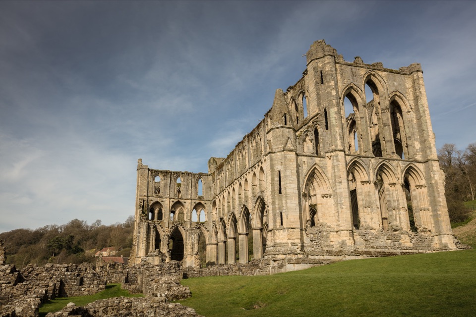 ModerateHelmsley and Rievaulx Abbey11.3 km · 4 hr · 4.7 km awayAbbey ruins, a terrace panorama and bluebell woods on a 7-mile circuit
 ChallengingSaint Aelred’s Pilgrim Trail66 km · 22 hr · 4.9 km awayNine-stage, 41-mile circuit linking Ryedale churches with Rievaulx Abbey
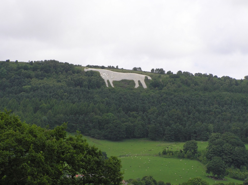 EasyMiles without Stiles (For many) - Sutton Bank and Kilburn White Horse5.6 km · 1.6 hr · 4.9 km awayStep-free escarpment walk to the White Horse, big Vale of York viewsSight · 1.3 km awayRievaulx AbbeyTall Cistercian church arches in a quiet wooded river valley
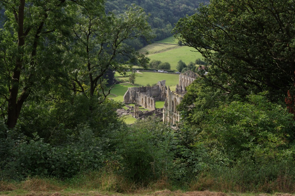 Sight · 1.8 km awayRievaulx TerraceGrassy Georgian terrace with two temples and framed abbey views
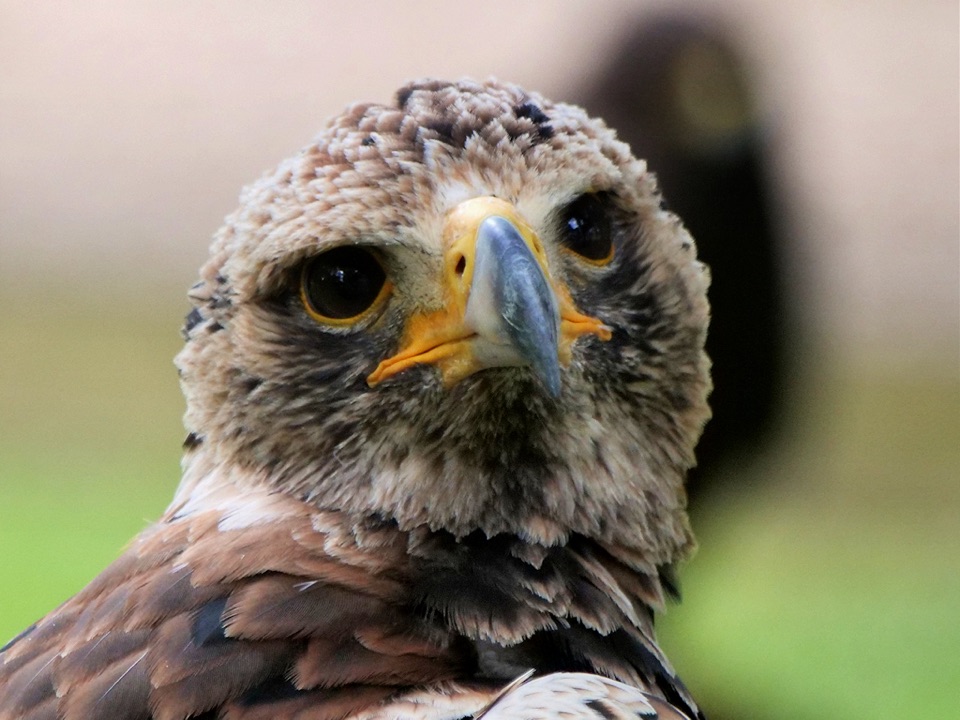 Sight · 4.2 km awayNational Centre for Birds of PreyEagles, owls and vultures flying free in ancient Duncombe woodland
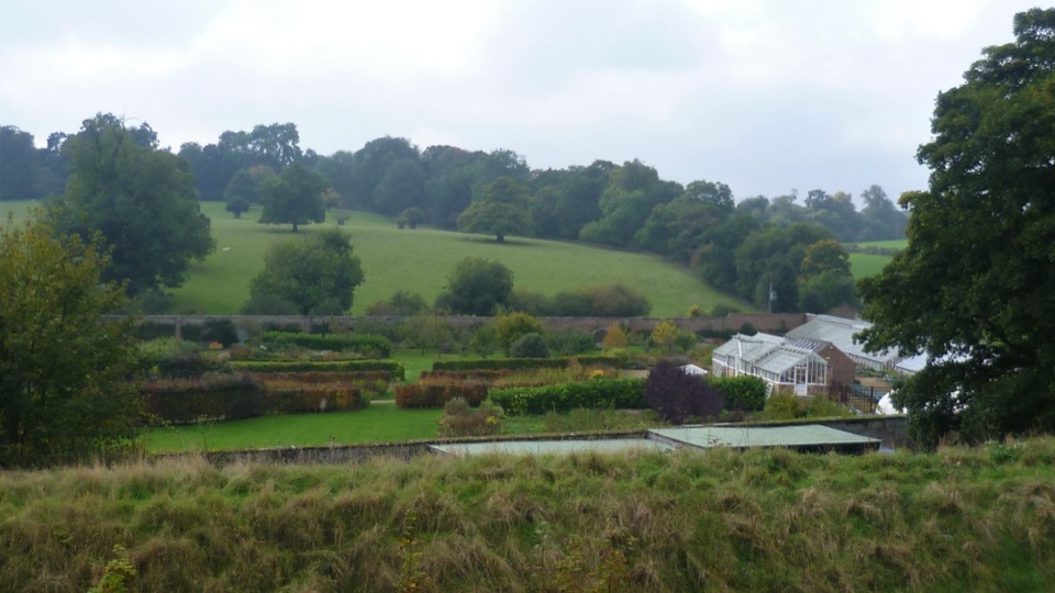 Sight · 4.7 km awayHelmsley Walled GardenFive walled acres of borders, glasshouses and orchards below the castle
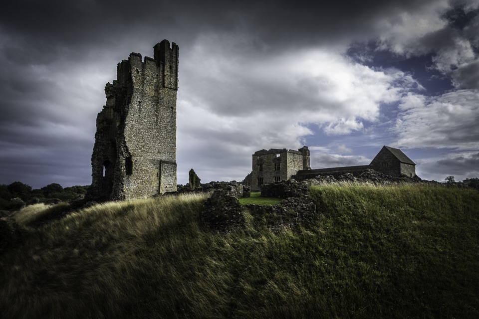 Sight · 4.8 km awayHelmsley CastleNine centuries of siege and splendour in a towering, ditch-ringed ruin
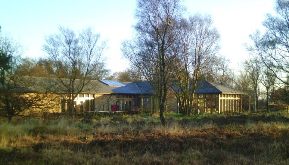 Visitor center · 4.9 km awaySutton Bank National Park CentreEscarpment-edge hub with huge views, easy trails and family bike routes
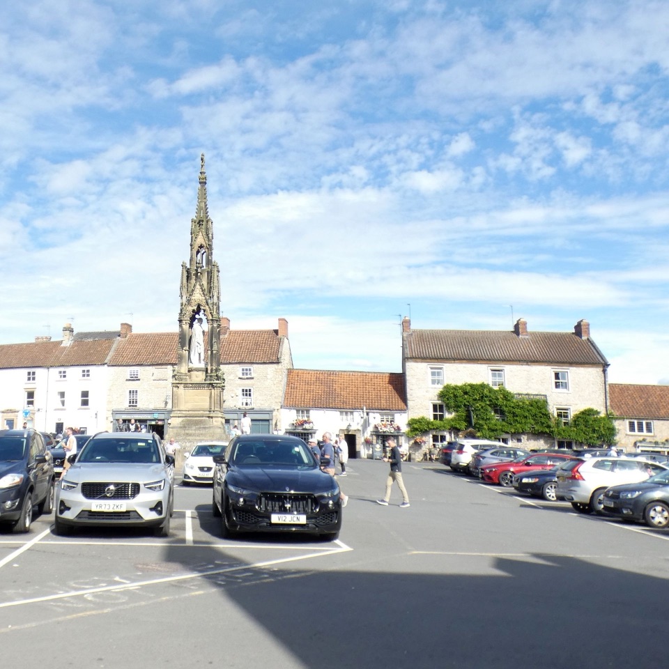 Sight · 4.9 km awayHelmsleyThe moors' only market town, and the Cleveland Way's first mile
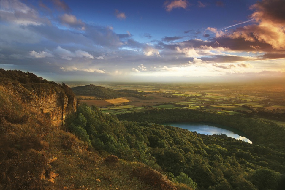 Sight · 5.2 km awaySutton Bank ViewpointCliff-edge panorama over the Vale of York, Gormire Lake below
Parkwolf’s North York Moors ranking

The audio tour guide for the drive, plus offline maps, trails, and wildlife heatmaps for when the signal drops.




