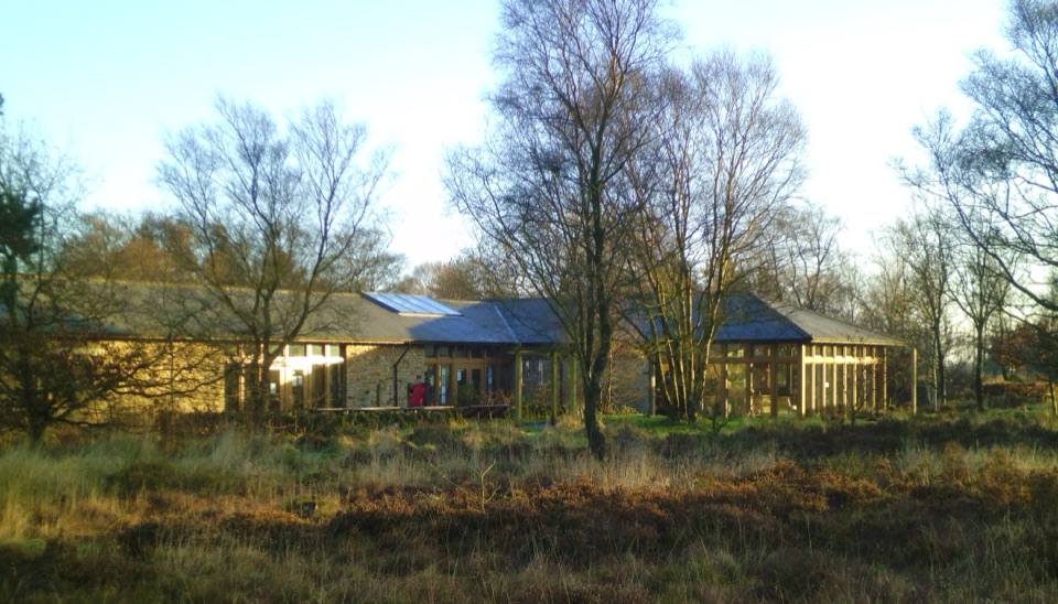
Sutton Bank National Park Centre in North York Moors National Park

Visitor center · North York Moors National Park

Sutton Bank National Park Centre

Escarpment-edge hub with huge views, easy trails and family bike routes

Photo: Wikimedia Commons
Type
Visitor center
Nearest trail
Right here
Audio stories
7 nearby
  • Parking
  • Restrooms
  • Food
  • Store

Hear the audio tour

Sutton Bank

Overview

About Sutton Bank National Park Centre

Why stop

  • Escarpment views open straight into the Vales
  • Walks, bikes, play, and exhibits make this a full-day base

Heads up

  • Weekend parking can fill and the café experience is inconsistent
  • The White Horse route has steep steps beyond the easy approach
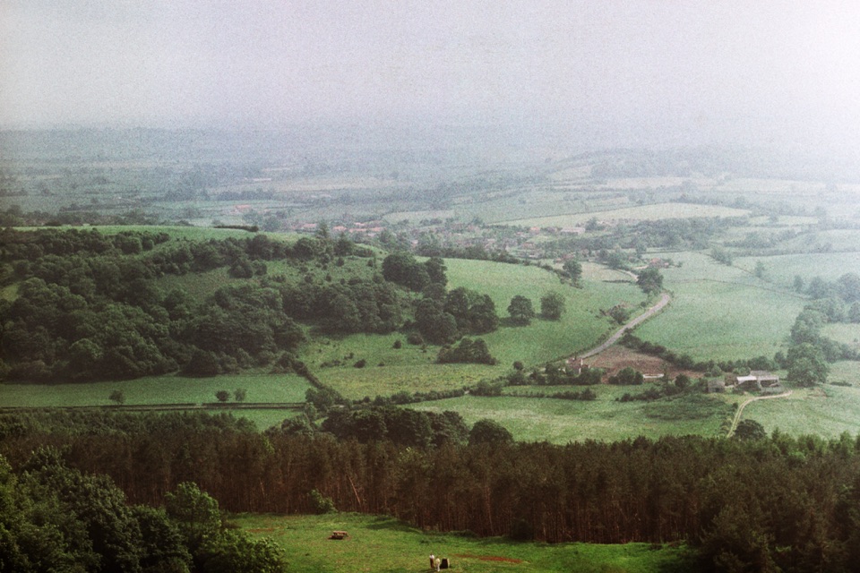
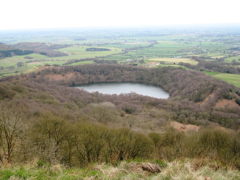
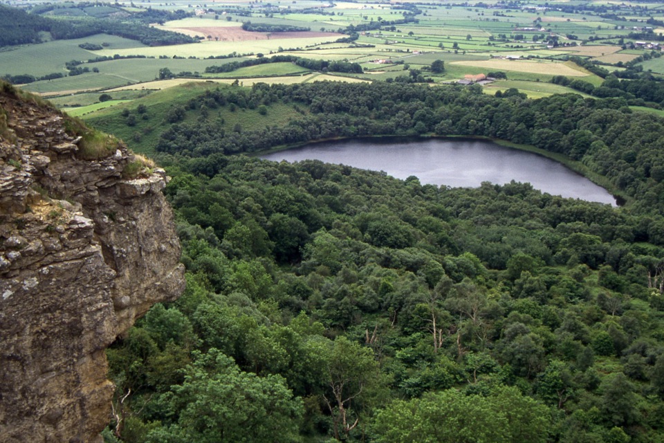
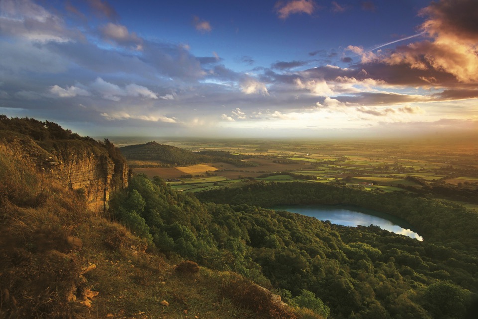
The Centre sits right on the lip of the Sutton Bank escarpment, where the moorland edge drops away to the patchwork of the Vale of Mowbray and Vale of York. You can see that from the roadside, but stopping turns a two-minute look into half a day: an accessible path leads from the door to the escarpment viewpoint, and from there walking and cycling routes fan out along the cliff and into the woods below. Entry to the Centre is free and parking is paid.
Parkwolf’s verdictWhy stop here

Map

Where it is

Loading the North York Moors map
Full map
Visitor centerSutton Bank National Park Centre54.24071, -1.20945
Keep this map with you offline in the Parkwolf app

Plan your stop

Before you go

Best time to go

The Centre is on the A170, about six miles east of Thirsk and seven and a half miles west of Helmsley, with Thirsk the nearest railway station and a sheltered bus stop outside served seasonally in the warmer months. Parking is generous but weekends and school holidays fill the main areas, so early mornings are calmer and give softer light along the edge. Late afternoon and evening light falls best across the vales, and the Centre also runs dark-sky and wildlife-watching activities if you want a reason to stay after sunset.


Access and facilities

  • Level access from street to main entrance, automatic foyer doors, wide paths and accessible parking.
  • Wheelchair loan with no need to pre-book. A Tramper all-terrain mobility scooter is available for rougher ground and steeper inclines, but needs booking and a short training session.
  • Toilets, baby-changing, an accessible toilet and a Changing Places toilet. The accessible and Changing Places toilets in the courtyard need a RADAR key, available at the Information Desk.
  • Hearing loop, audio and braille information, contrast markings, and trained assistance dogs welcome.
  • Free drinking-water bottle refills, six 7kW Type 2 EV chargers, free e-bike chargers, a cycle repair station, bike parking, and a defibrillator accessible 24 hours.

8 active North York Moors alerts

  • ClosureHawnby Bridleway 110 closurePublic Bridleway 25.122/110/1 in Hawnby is closed to pedestrians, cyclists and equestrians because its bridge is unsafe. - The closure is between grid references SE 5309 9073 and SE 5335 9097.Official details
  • ClosureWest Ayton Footpath 1 closurePublic Footpath 1 in West Ayton (Forge Valley) is temporarily closed because its boardwalk is unsafe. - The closure is between SE 9860 8494 and SE 9839 8712.Official details
See all 8 alerts
A park ranger sits on a dash-mounted phone, talking, as Parkwolf’s Tour Guide plays “Army Cutworm Moths: A Grizzly Bear Buffet” on Grand Loop Road below Dunraven Pass in Yellowstone
Parkwolf Tour GuideThe highest, rockiest slopes around here are a summer buffet for grizzly bears.

North York Moors Tour Guide

Your drive to Sutton Bank National Park Centre, narrated.

Parkwolf is a GPS audio tour guide for North York Moors National Park. As you drive, it chimes in with what’s ahead: hidden gems, upcoming stops, history, geology, and wildlife, right through your car’s speakers.

Recorded for this place

Sutton Bank
0:00 / 0:36
“Sutton Bank is coming up, where the moorland plateau ends abruptly above the Vale of York.”

Plays as you drive up to Sutton Bank National Park Centre in the Parkwolf North York Moors Tour Guide.

More stories near here in the app

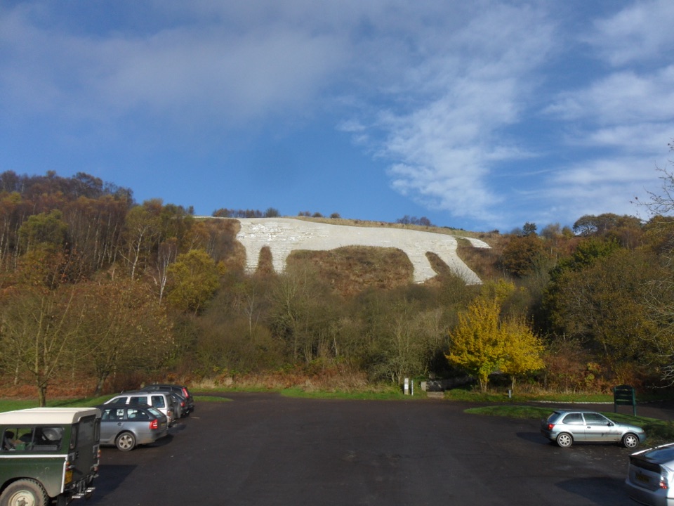
  • Kilburn White Horse
  • Why the White Horse Needs Whitening
  • The Fort Beneath the Gliders
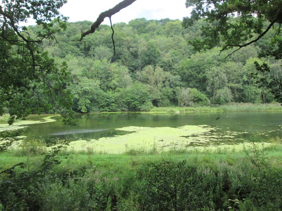
  • Why Gormire Lake Sits Below the Cliff
  • 298 audio storiesacross North York Moors’s roads, triggered by GPS as you drive
  • Wildlife heatmapsfor Eurasian Otter, Red Deer, Grey Seal, and 13 more
  • Works offlinemaps, 126 trails, 65 places, and audio download before you lose signal
  • CarPlay readysimple controls built for the drive
★★★★★
“Fantastic app with many points of information… It’s great to just turn on while you’re driving and it gives you an audio tour of the national Park. We love it!!!!”
JMJamesApp Store review
Download Parkwolf on the App StoreGet Parkwolf on Google Play

4.7 from 8,600+ ratings

Guide

More about Sutton Bank National Park Centre

WalkingBe honest with yourself about the White Horse.

Be honest with yourself about the White Horse. The gravel approach is gentle and misleads people; actually getting down to see the figure properly involves steep steps, and it is a real climb back.

  • Level, accessible path from the Centre to the escarpment edge, suitable for wheelchairs and buggies.
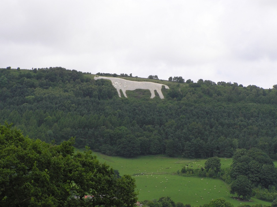
  • Walks south along the escarpment towards the Kilburn White Horse, with views opening the whole way.
  • Sutton Bank lies on the Cleveland Way National Trail, so longer linear days are easy to piece together.
Cycling and familiesThis is a proper cycle hub rather than a car park with a bike rack.

This is a proper cycle hub rather than a car park with a bike rack. Waymarked trails run from the family-friendly green Cliff trail through blue Fort and Drovers trails to the red Paradise trail, with gravel explorer routes for longer days, a purpose-built pump track, a skills area, a bike wash, and an independent bike hire and repair operator on site.

For younger children the outdoor play area is built from natural materials: treehouses, a stone castle, three roundhouses, a large sandpit, a mud kitchen and logs to clamber over. It is a good place to let children burn off energy while someone queues for coffee. Dogs are welcome on short leads.

Honest drawbacksPaid parking annoys some visitors, and opinions on café value and service are mixed rather than…

Paid parking annoys some visitors, and opinions on café value and service are mixed rather than uniformly warm. Trails can be wet and muddy after rain, especially the wooded sections, so bring proper footwear or expect a dirty bike. Some paths are shared and some are for walkers only, including the White Horse path, so follow the signed route-sharing rules to avoid friction. On a low-cloud day the famous view simply is not there, so keep the plan flexible.

Why stop hereInside there is a shop, an exhibition on the River Rye, and food and drink, plus information…

Inside there is a shop, an exhibition on the River Rye, and food and drink, plus information staff who can match a route to your group. Gliders launched from the airfield behind often work the updraught along the edge, which gives the view something to watch rather than just admire.

Wildlife

Wildlife in North York Moors

All North York Moors wildlife maps

Sighting maps show where each species has been reported across North York Moors. Wildlife moves, so no sighting is guaranteed.

Keep exploring

Near Sutton Bank National Park Centre

See it all on the map

Trails nearby

More stops nearby

Parkwolf’s North York Moors ranking

Top sights in North York Moors

All 65 places
  1. 1North Yorkshire Moors RailwaySight
  2. 2Roseberry ToppingSight
  3. 3Rievaulx AbbeySight
  4. 4Robin Hood's Bay and BeachSight
  5. 5Hole of HorcumSight
  6. 6Goathland StationSight

Take Parkwolf to North York Moors.

The audio tour guide for the drive, plus offline maps, trails, and wildlife heatmaps for when the signal drops.

4.7 from 8,600+ ratings

Download Parkwolf on the App StoreGet Parkwolf on Google Play