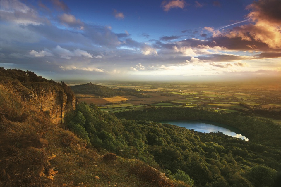
Sutton Bank Viewpoint in North York Moors National Park

Sight · North York Moors National Park

Sutton Bank Viewpoint

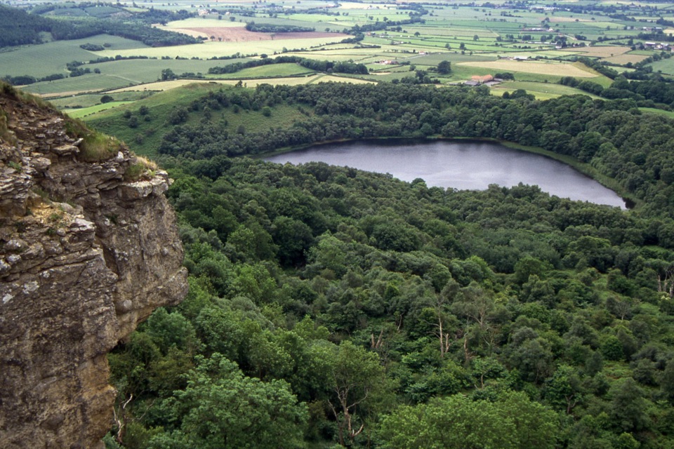
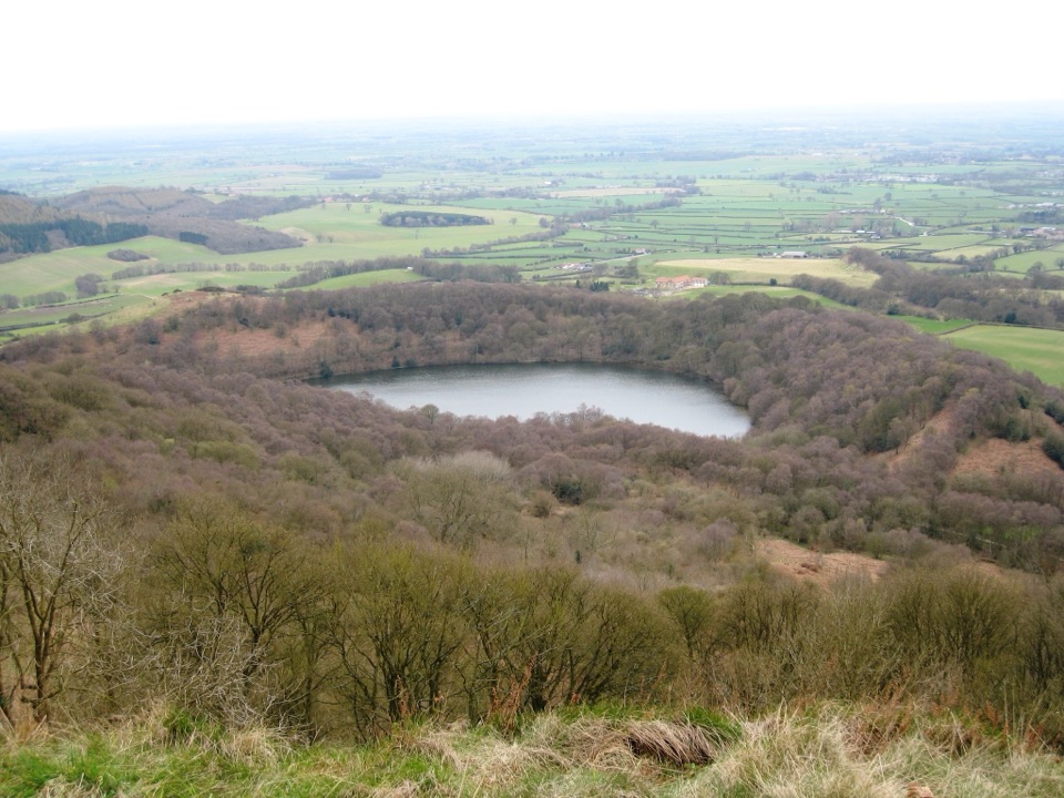
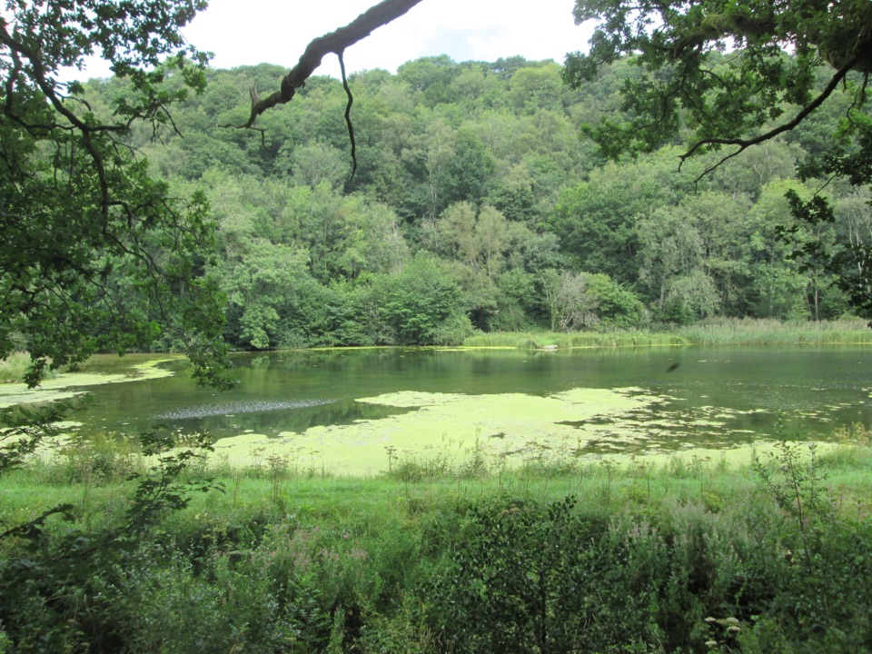
Cliff-edge panorama over the Vale of York, Gormire Lake below

Photo: Wikimedia Commons
Type
Sight
Nearest trail
0.3 km
Audio stories
7 nearby
  • Scenic viewpoint
  • #18 of 55 sights

Hear the audio tour

Sutton Bank

Overview

About Sutton Bank Viewpoint

Why stop

  • Expansive cliff-and-lake panorama over the Vale of York
  • Accessible approach to a genuinely dramatic escarpment edge

Heads up

  • Exposed and windy at the cliff edge
  • Weekend parking can fill up
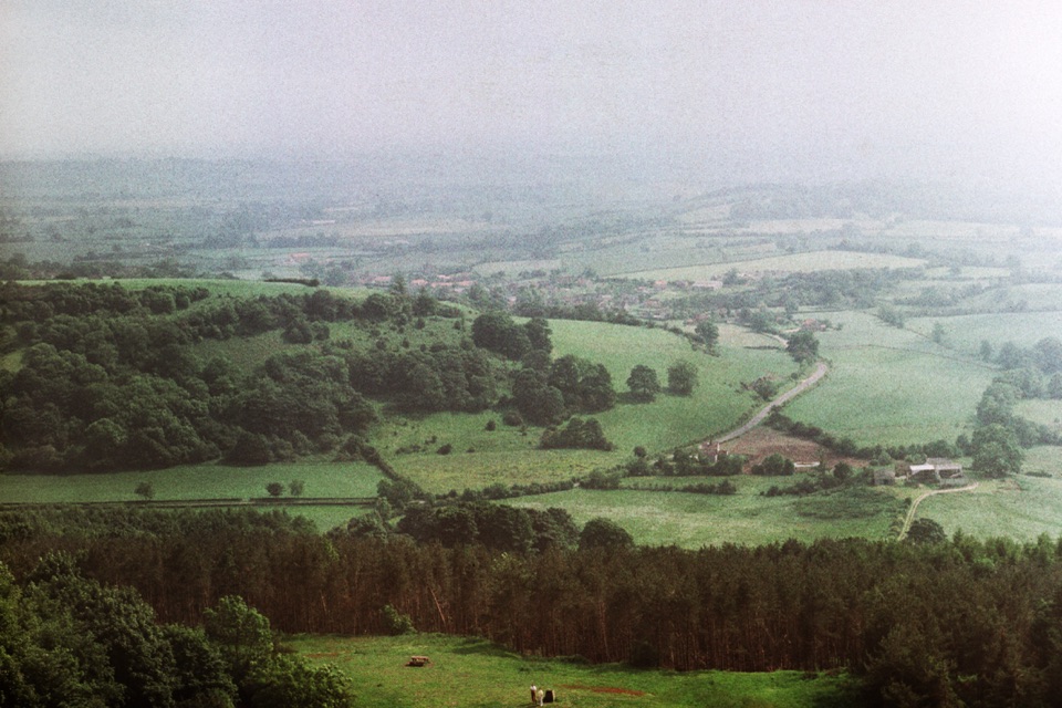
This is the point where the moorland plateau ends in a sudden escarpment and the ground drops away into the flat farmland of the Vale of York and Vale of Mowbray. On a clear day the view runs for miles across patchwork fields. The vet and author James Herriot is credited with calling it the finest view in England, and standing at the rail it is easy to see why the line stuck.
Parkwolf’s verdictWhy stop here

Map

Where it is

Loading the North York Moors map
Full map
SightSutton Bank Viewpoint54.24055, -1.21387
Keep this map with you offline in the Parkwolf app

Plan your stop

Before you go

Best time to go

Clear, settled days give the deepest views west across the vales. Late afternoon and evening light works well on the cliff and the lake, and sunset from the edge is a favourite with regulars, so it is worth building into a day out. Early mornings and weekdays are calmest.


Access and approach

  • Grid reference SE516831, reached from the A170 roughly 6 miles east of Thirsk and 7.5 miles west of Helmsley
  • A short accessible path leads to a viewing platform, making this one of the easier big views to reach in the region
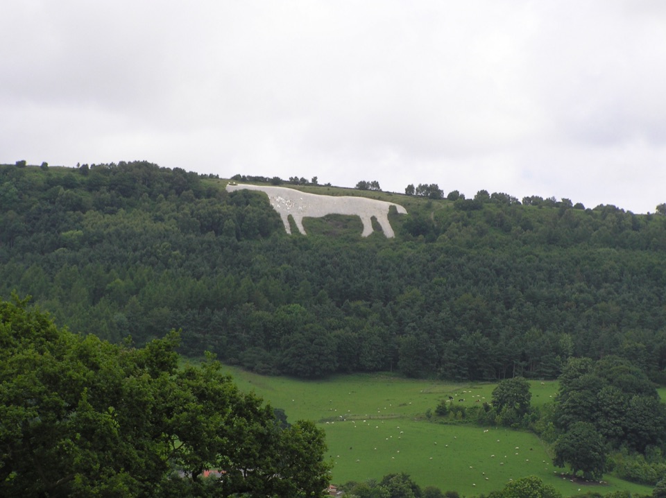
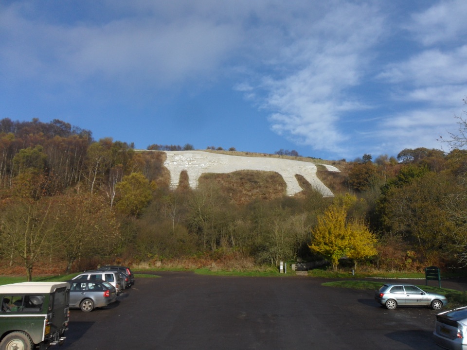
  • A longer wheelchair- and pushchair-friendly route continues along the top toward the Kilburn White Horse
  • Tramper hire is available through the National Park Centre for those who need it
  • The Cleveland Way runs along the cliff top, so you can extend the walk in either direction

8 active North York Moors alerts

  • ClosureHawnby Bridleway 110 closurePublic Bridleway 25.122/110/1 in Hawnby is closed to pedestrians, cyclists and equestrians because its bridge is unsafe. - The closure is between grid references SE 5309 9073 and SE 5335 9097.Official details
  • ClosureWest Ayton Footpath 1 closurePublic Footpath 1 in West Ayton (Forge Valley) is temporarily closed because its boardwalk is unsafe. - The closure is between SE 9860 8494 and SE 9839 8712.Official details
See all 8 alerts
A park ranger sits on a dash-mounted phone, talking, as Parkwolf’s Tour Guide plays “Army Cutworm Moths: A Grizzly Bear Buffet” on Grand Loop Road below Dunraven Pass in Yellowstone
Parkwolf Tour GuideThe highest, rockiest slopes around here are a summer buffet for grizzly bears.

North York Moors Tour Guide

Your drive to Sutton Bank Viewpoint, narrated.

Parkwolf is a GPS audio tour guide for North York Moors National Park. As you drive, it chimes in with what’s ahead: hidden gems, upcoming stops, history, geology, and wildlife, right through your car’s speakers.

Recorded for this place

Sutton Bank
0:00 / 0:36
“Sutton Bank is coming up, where the moorland plateau ends abruptly above the Vale of York.”

Plays as you drive up to Sutton Bank Viewpoint in the Parkwolf North York Moors Tour Guide.

More stories near here in the app

  • Kilburn White Horse
  • The Fort Beneath the Gliders
  • Why the White Horse Needs Whitening
  • Why Gormire Lake Sits Below the Cliff
  • 298 audio storiesacross North York Moors’s roads, triggered by GPS as you drive
  • Wildlife heatmapsfor Eurasian Otter, Red Deer, Grey Seal, and 13 more
  • Works offlinemaps, 126 trails, 65 places, and audio download before you lose signal
  • CarPlay readysimple controls built for the drive
★★★★★
“Fantastic app with many points of information… It’s great to just turn on while you’re driving and it gives you an audio tour of the national Park. We love it!!!!”
JMJamesApp Store review
Download Parkwolf on the App StoreGet Parkwolf on Google Play

4.7 from 8,600+ ratings

Guide

More about Sutton Bank Viewpoint

What you actually seeThe escarpment edge itself, with the pale cliff face curving away below you
  • The escarpment edge itself, with the pale cliff face curving away below you
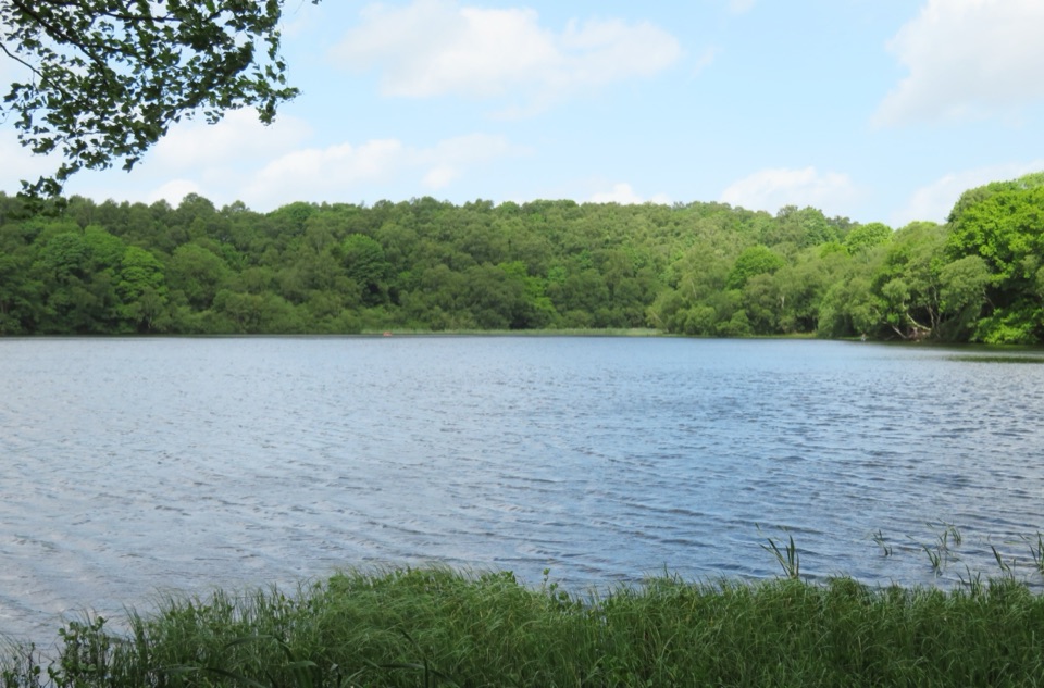
  • Gormire Lake, a small tree-fringed water body directly beneath the bank, formed when glacial deposits blocked older drainage channels
  • Benches and information boards at points along the wider cliff-top path, rather than on the viewing platform itself, so you can sit and pick out landmarks as you walk
  • Gliders, sometimes, since a gliding club operates from the ground behind the escarpment; treat any sighting as a bonus rather than a promise
How this differs from the visitor centreThe viewpoint is the cliff-edge platform and the path along the rim, a short walk away from the…

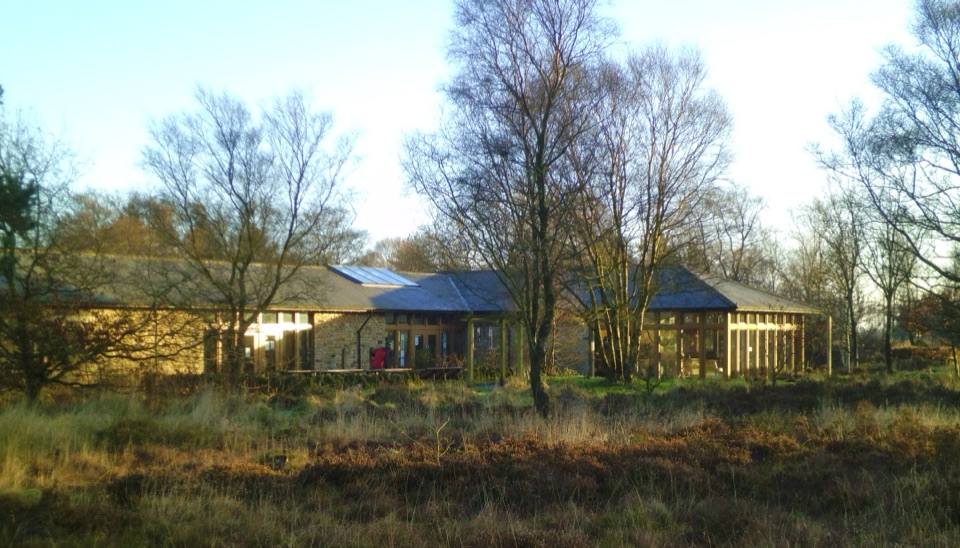
The viewpoint is the cliff-edge platform and the path along the rim, a short walk away from the buildings. The National Park Centre sits back from the edge on the A170, and its parking, toilets including accessible and Changing Places facilities, cafe, shop, water refill and EV chargers are all there rather than at the viewpoint. Plan on the centre for practicalities and the edge for the view. Compared with other viewpoints in the area, this one is unusual for combining a genuinely dramatic drop with a level, easy approach.

Honest drawbacksThe edge is exposed and often windy, and cold out of proportion to the car park; bring a layer…
  • The edge is exposed and often windy, and cold out of proportion to the car park; bring a layer more than you think you need
  • Weekends get busy, with parking filling up and the viewpoint itself crowded; walk distances along the top are not always obvious from the start
  • The descent to Gormire Lake is steep, rough and much harder work than the flat cliff-top stroll, both down and back up; do not treat it as part of the easy stop
  • Views depend entirely on visibility, and low cloud or haze can flatten the whole thing
Extra contextJust along the escarpment at Roulston Scar are the remains of an Iron Age hillfort thought to…

Just along the escarpment at Roulston Scar are the remains of an Iron Age hillfort thought to date to around 400 BC, a reminder that this defensible edge has been valued for a very long time. It is a nearby feature rather than part of the viewpoint, but it makes a good reason to keep walking.

Wildlife

Wildlife in North York Moors

All North York Moors wildlife maps

Sighting maps show where each species has been reported across North York Moors. Wildlife moves, so no sighting is guaranteed.

Keep exploring

Near Sutton Bank Viewpoint

See it all on the map

Trails nearby

More stops nearby

Parkwolf’s North York Moors ranking

Top sights in North York Moors

All 65 places
  1. 1North Yorkshire Moors RailwaySight
  2. 2Roseberry ToppingSight
  3. 3Rievaulx AbbeySight
  4. 4Robin Hood's Bay and BeachSight
  5. 5Hole of HorcumSight
  6. 6Goathland StationSight

Take Parkwolf to North York Moors.

The audio tour guide for the drive, plus offline maps, trails, and wildlife heatmaps for when the signal drops.

4.7 from 8,600+ ratings

Download Parkwolf on the App StoreGet Parkwolf on Google Play