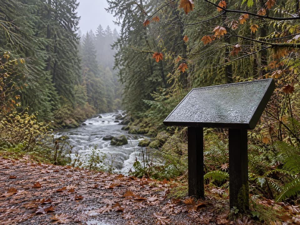
Lover’s Lane Loop Trail in Olympic National Park

Olympic National Park, WA

Lover’s Lane Loop Trail

A shaded river loop ends at a waterfall in old growth.

Photo: Wikimedia Commons
Length
6mi
Time
3.5hr
Elev. change
476ft
Difficulty
Moderate
  • Loop
  • No dogs
  • High point 2,156 ft
  • #27 of 148 in Olympic

Hear the audio tour

Sol Duc Falls: The Short Forest Walk

Overview

About Lover’s Lane Loop Trail

Why go

  • A full river-and-forest circuit with a bridge view into the falls canyon.

Heads up

  • Rooty, rocky stretches and campground turns slow the loop.

Map & elevation

The route

Loading the Olympic map
Full map
Elevation1,680–2,156 ft
TrailheadSol Duc Falls Trailhead at the end of Sol Duc Road47.95487, -123.83487
Keep this map with you offline in the Parkwolf app

Plan your hike

Before you go

Parking

From Port Angeles, follow US 101 to Sol Duc Road, then continue about 14 miles past the hot springs to the parking area at the road end, the Sol Duc Falls Trailhead. Park entry fee or pass applies. The loop also connects with the resort and campground.

Safety

The water at Sol Duc Falls is hazardous; keep children close near the falls. Pets and bicycles are prohibited on park trails. Sol Duc Road is weather-dependent and often closes in winter for snow and ice.

6 active Olympic alerts

  • CautionUS 101 Hoh River Bridge reduced to one laneUS 101 at the Hoh River Bridge is restricted to one lane of alternating traffic; obey the signals and 25 mph speed limit.Official details
  • ClosureStaircase wilderness trails and campsites remain closedWilderness trails and campsites around Staircase remain closed during recovery from the Bear Gulch Fire; the developed Staircase area, including the Rapids Loop, campground, and ranger station, is…Official details
See all 6 alerts
A park ranger sits on a dash-mounted phone, talking, as Parkwolf’s Tour Guide plays “Army Cutworm Moths: A Grizzly Bear Buffet” on Grand Loop Road below Dunraven Pass in Yellowstone
Parkwolf Tour GuideThe highest, rockiest slopes around here are a summer buffet for grizzly bears.

Olympic Tour Guide

Your drive to Lover’s Lane Loop Trail, narrated.

Parkwolf is a GPS audio tour guide for Olympic National Park. As you drive, it chimes in with what’s ahead: hidden gems, upcoming stops, history, geology, and wildlife, right through your car’s speakers.

See the Olympic audio tour

Recorded for this trailhead

Sol Duc Falls: The Short Forest Walk
0:00 / 0:23
“You're nearing the Sol Duc Falls trailhead, for an old-growth forest walk to a waterfall that can split into several chutes.”

Plays as you drive up to this trailhead in the Parkwolf Olympic Tour Guide.

More stories near here in the app

  • Sol Duc Hot Springs: Time for a Soak
  • The Cone with Three Points
  • Ancient Groves: A Short, Hilly Loop
  • North Fork Sol Duc: A Wilderness River Hike
  • 204 audio storiesacross Olympic’s roads, triggered by GPS as you drive
  • Wildlife heatmapsfor Olympic Marmot, Humpback Whale, Grey Whale, and 13 more
  • Works offlinemaps, 148 trails, 94 places, and audio download before you lose signal
  • CarPlay readysimple controls built for the drive
★★★★★
“Fantastic app with many points of information… It’s great to just turn on while you’re driving and it gives you an audio tour of the national Park. We love it!!!!”
JMJamesApp Store review
Download Parkwolf on the App StoreGet Parkwolf on Google Play

4.7 from 8,600+ ratings

Trail guide

Hiking Lover’s Lane Loop Trail

The six-mile circuitLover’s Lane Loop is a 6.

Lover’s Lane Loop is a 6.0-mile circuit through the Sol Duc River valley, joining campground paths, old-growth forest and Sol Duc Falls. Starting at the Sol Duc Falls Trailhead at the end of Sol Duc Road, follow the campground-side connectors toward the resort, then take Lover’s Lane upstream to the falls. The Sol Duc Falls trail brings you back to the road-end lot. It is a real loop, not just the short waterfall walk. Plan on about 3–4 hours; the distance is manageable, but roots, rocks, turns through the campground and a proper stop at the falls all add time.


First the campground, then the forestThe loop begins with a network of campground paths and short connecting stretches.

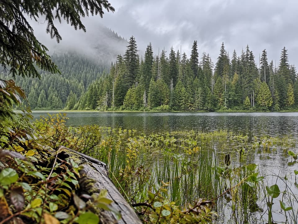
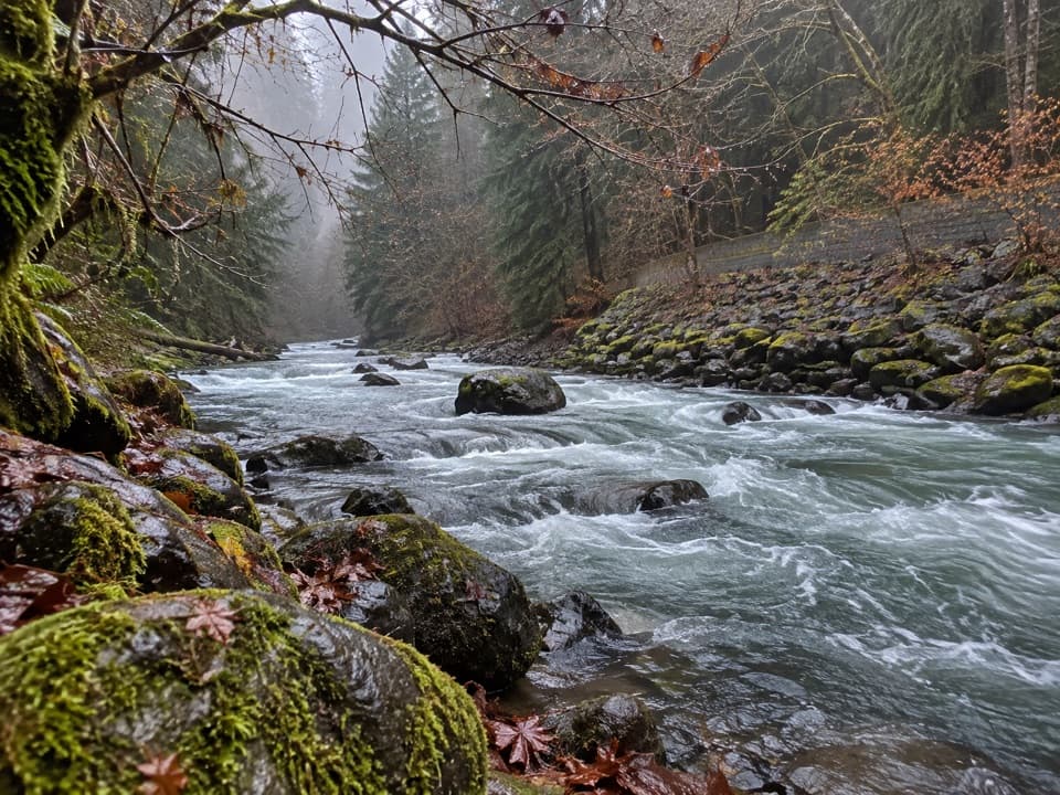
The loop begins with a network of campground paths and short connecting stretches. Watch the turns as you pass the campsites; the route is not one continuous trail with a single name. The first tree-lined mile is the gentler part. Farther upstream, the path climbs more steeply and leaves the river for old-growth forest. The tread is natural and can be rooty and rocky, so watch your footing. Trip reports mention fallen logs, but those change as trail crews clear or storms add them; do not plan on a particular obstacle being there.

The falls and canyonSol Duc Falls is the payoff: white water drops through a narrow, moss-covered canyon, viewed…

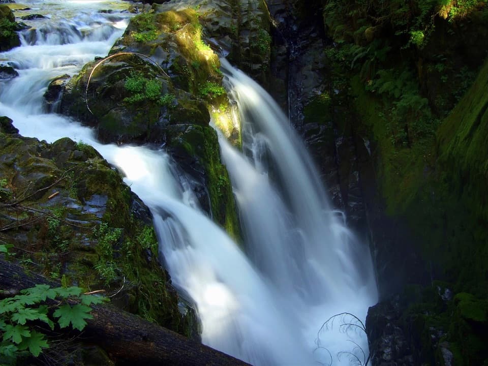
Sol Duc Falls is the payoff: white water drops through a narrow, moss-covered canyon, viewed from a bridge on the route. Pause there for the falls before following the return path down to the road-end trailhead. Keep children close around the water; it is powerful and dangerous. The bridge is the clear photo stop, framing the divided cascade against the dark rock walls.

Old growth and salmonThe forest stretch includes tall Douglas-firs, western hemlocks and some Sitka spruce.

The forest stretch includes tall Douglas-firs, western hemlocks and some Sitka spruce. Along Lover’s Lane, quieter side channels can hold salmon. Chinook and coho move upstream in late summer and spawn in late fall; cutthroat trout and steelhead run in fall and winter, spawning into spring. Salmon return from the Pacific to the river where they hatched, and their bodies carry ocean nutrients back into the forest. Look quietly into slow water, but treat a sighting as luck rather than a guarantee.

A story from the hot springsThe resort lies on the loop’s campground side.

The resort lies on the loop’s campground side. A local Indigenous legend tells of two dragons fighting on the ridge between the Sol Duc and Elwha valleys; their tears became the hot springs. It is a story about the springs, not a geological explanation.

Food and campground facilitiesThe restaurant, shop and mineral pools are at Sol Duc Hot Springs Resort, a separate stop from…

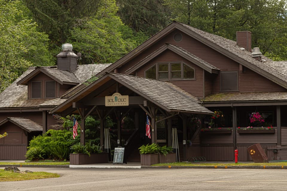
The restaurant, shop and mineral pools are at Sol Duc Hot Springs Resort, a separate stop from the falls viewpoint. The resort closes in winter. The campground has potable water and accessible restrooms during its main operating season; in the off-season it becomes primitive, with pit toilets and no water. Do not count on those services when the seasonal facilities are closed.

Access and rulesFrom Port Angeles, take US 101 to Sol Duc Road and continue about 14 miles past the hot springs…

From Port Angeles, take US 101 to Sol Duc Road and continue about 14 miles past the hot springs to the parking area at the road end. Park entry fee or pass applies. Sol Duc Road is weather-dependent and often closes in winter for snow and ice, so check its status before driving in. Pets and bicycles are not allowed on park trails.

Wildlife

Wildlife in Olympic

All Olympic wildlife maps

Sighting maps show where each species has been reported across Olympic. Wildlife moves, so no sighting is guaranteed.

Keep exploring

Near Lover’s Lane Loop Trail

See it all on the map

Trails that start nearby

Places near the trailhead

Parkwolf’s Olympic ranking

Top-rated trails in Olympic

All 148 trails
  1. 1Hall of Mosses TrailEasy · 0.8 mi
  2. 2Hurricane Hill TrailModerate · 3.3 mi
  3. 3Sol Duc Falls Nature TrailEasy · 1.6 mi
  4. 4High Divide Loop (Seven Lakes Basin)Challenging · 19 mi
  5. 5Hoh River TrailChallenging · 34.8 mi
  6. 6Shi Shi Beach and Point of Arches TrailModerate · 8 mi

Take Parkwolf to Olympic.

The audio tour guide for the drive, plus offline maps, trails, and wildlife heatmaps for when the signal drops.

4.7 from 8,600+ ratings

Download Parkwolf on the App StoreGet Parkwolf on Google Play