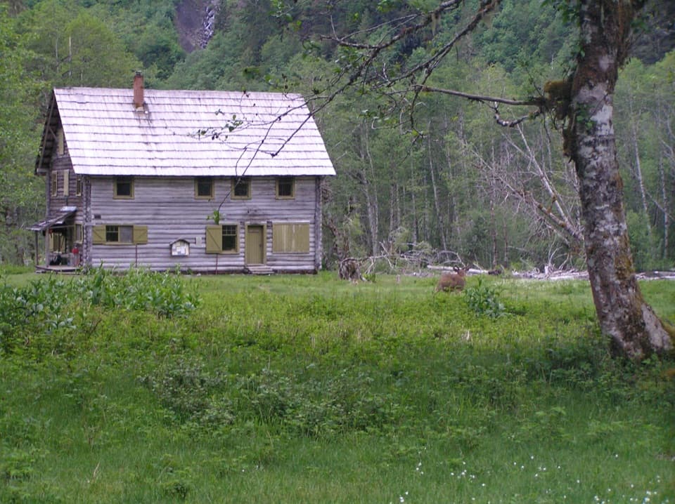
Parking
There is no road parking at either pass. Lost Pass is reached on foot from Dose Meadows; Cameron Pass connects to the Cameron Pass Trail. Approach and exit miles are extra.
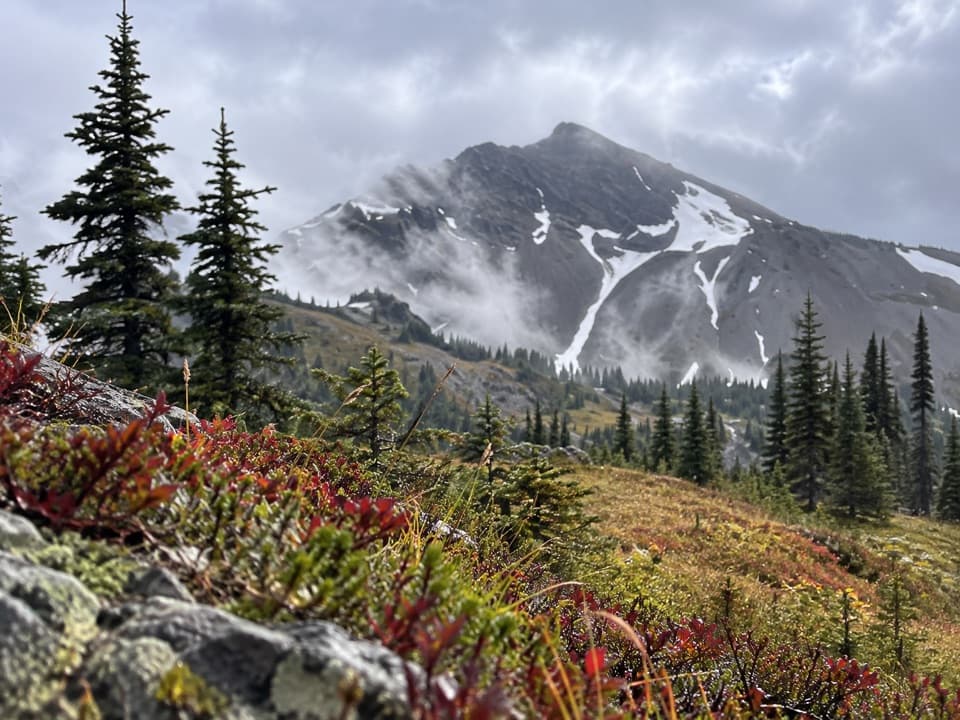
Olympic National Park, WA
A rugged high-country connector between two remote passes.
Overview
Map & elevation
Plan your hike

The highest, rockiest slopes around here are a summer buffet for grizzly bears.
Olympic Tour Guide
Parkwolf is a GPS audio tour guide for Olympic National Park. As you drive, it chimes in with what’s ahead: hidden gems, upcoming stops, history, geology, and wildlife, right through your car’s speakers.
See the Olympic audio tour“Fantastic app with many points of information… It’s great to just turn on while you’re driving and it gives you an audio tour of the national Park. We love it!!!!”


Trail guide
Cameron-Lost Pass Primitive Trail is a 1.9-mile point-to-point connector between Lost Pass and Cameron Pass in Olympic's high country. It is a short segment within a longer wilderness trip, not a walk from a roadside trailhead. Allow about two to three hours one way for rough, steep tread, and count the approach and exit miles separately. It makes sense as part of a pass-to-pass itinerary if you are comfortable with primitive trail conditions.
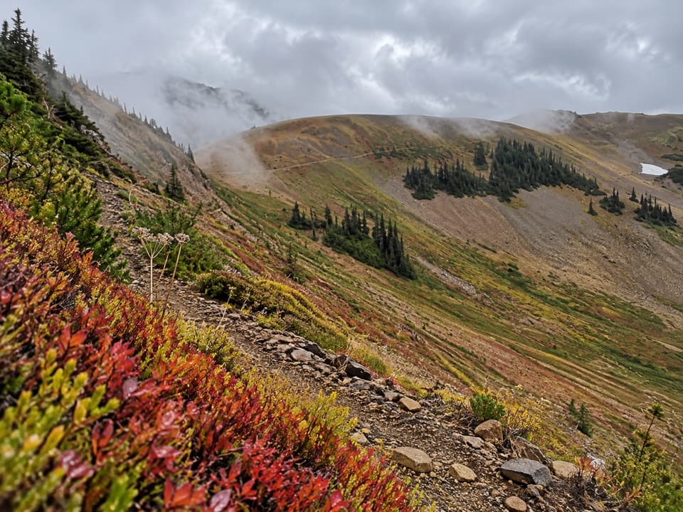
From Lost Pass, the route traverses an open mountainside through subalpine meadows, passing a seasonal spring and a backcountry campsite before climbing toward Cameron Pass. Wildflowers brighten the slopes in season, and the pass opens to wide mountain views. At Lost Pass, frame Mount Cameron above the meadow instead of filling the photo with the summit alone. The spring may be dry, so carry enough water and treat anything you collect.
Neither end has road parking. Reach Lost Pass on foot from Dose Meadows; Cameron Pass connects with the Cameron Pass Trail. Those approach and exit miles are extra, and the two ends make this a point-to-point route rather than a convenient out-and-back. The tread is primitive and can be difficult to follow when snow covers it. Snow can linger at the high passes into late summer; snow travel may require map-and-compass skills, an ice axe and self-arrest ability. Dogs are not allowed on park trails. Overnight camping requires a wilderness permit and bear canister.
Wildlife
 710 sightingsOlympic MarmotMost seen around 11 AMSighting map
 30 sightingsHumpback WhaleMost seen around 6 PMSighting map
 42 sightingsGrey WhaleMost seen around noonSighting map
 23 sightingsMountain LionMost seen around 8 PMSighting map
 71 sightingsMountain GoatMost seen around 7 AMSighting map
 306 sightingsBald EagleMost seen around 11 AMSighting map
Sighting maps show where each species has been reported across Olympic. Wildlife moves, so no sighting is guaranteed.
Keep exploring
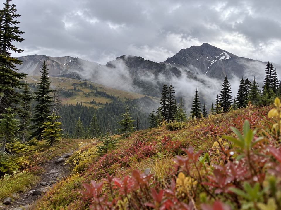 ChallengingLost Pass Primitive Trail1.6 mi · 2 hr · 0.7 mi awayA steep, primitive climb to a high-country pass.
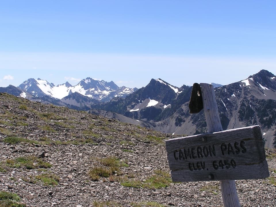 ChallengingCameron Pass Trail3.6 mi · 4 hr · 3.4 mi awayA rough climb to an alpine pass and wide mountain views.
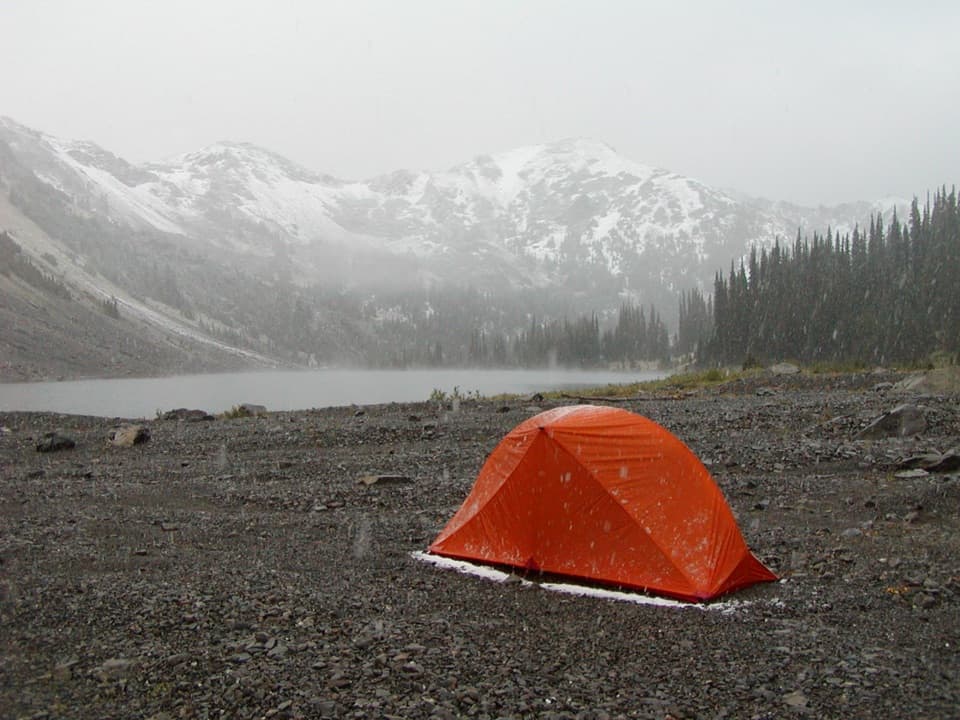 ChallengingCedar Lake Way Trail4.2 mi · 5 hr · 4.5 mi awayA steep, brushy climb to a tucked-away mountain lake.
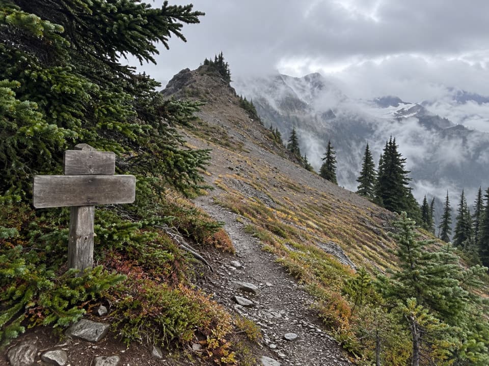 ChallengingHayden Pass Trail8.3 mi · 8 hr · 4.9 mi awayA remote 8.3-mile climb from Hayes River to Hayden Pass.
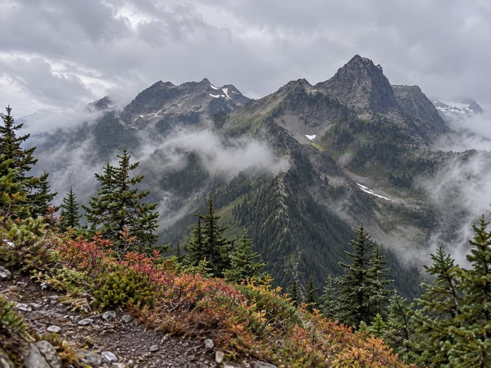 ChallengingLaCrosse Pass Trail6.4 mi · 5.5 hr · 7.3 mi awayA steep pass between two remote Olympic river valleys.
 ChallengingAnderson Moraine Trail1.6 mi · 2 hr · 7.8 mi awayA steep alpine spur above a glacier-fed lake below Mount Anderson.
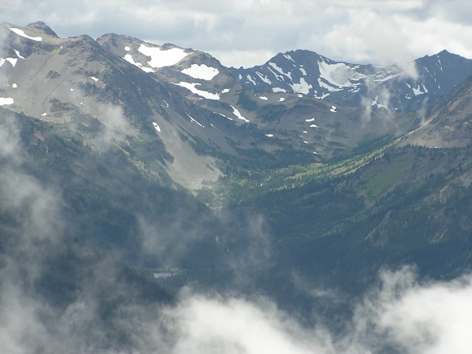 ChallengingGrand Valley via Grand Pass Trail12 mi · 9 hr · 7.9 mi awayThree lakes, an alpine ridge, and a long climb to Grand Pass.
 ChallengingBadger Valley Primitive Trail8.6 mi · 6.5 hr · 7.9 mi awayA steep descent into wildflower meadows, followed by a long climb back.
Parkwolf’s Olympic ranking

The audio tour guide for the drive, plus offline maps, trails, and wildlife heatmaps for when the signal drops.