
Place
Challenging
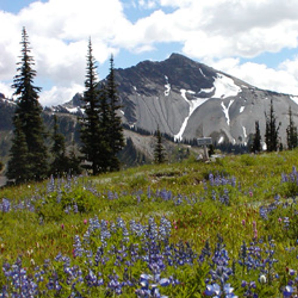
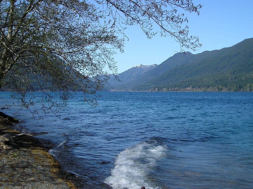
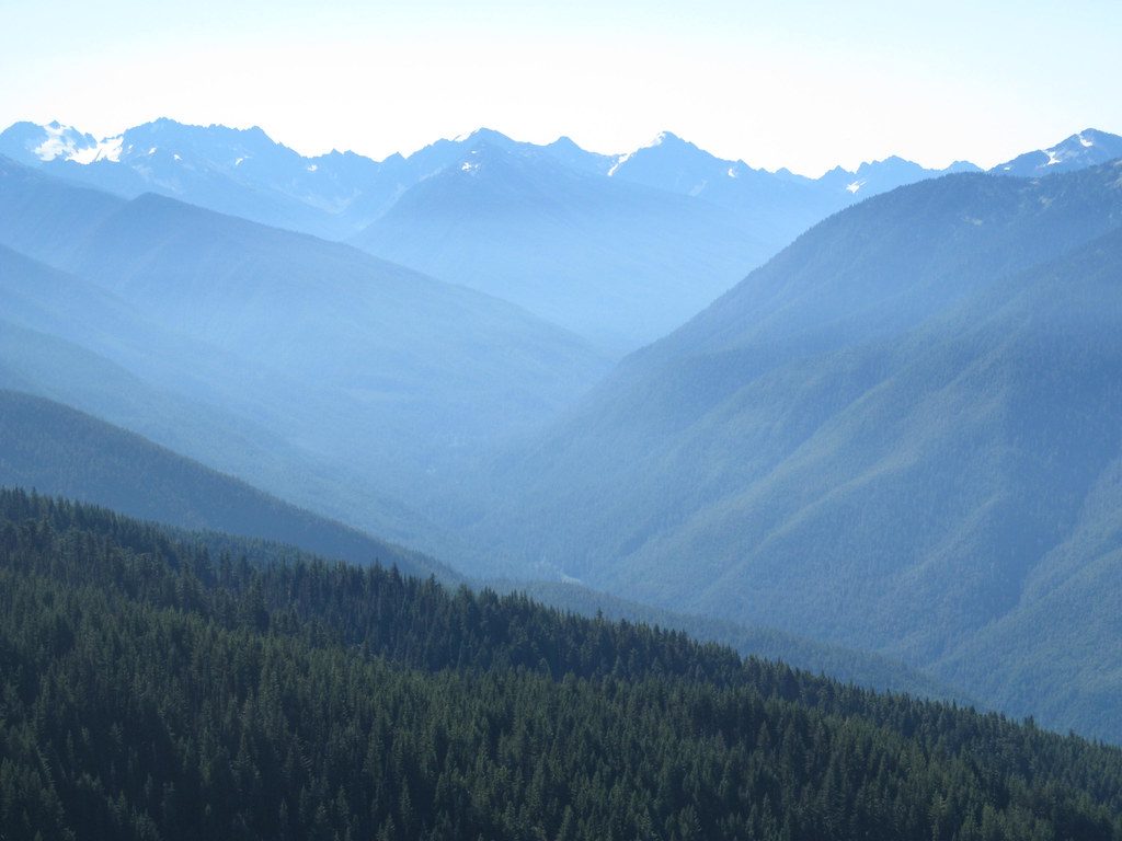
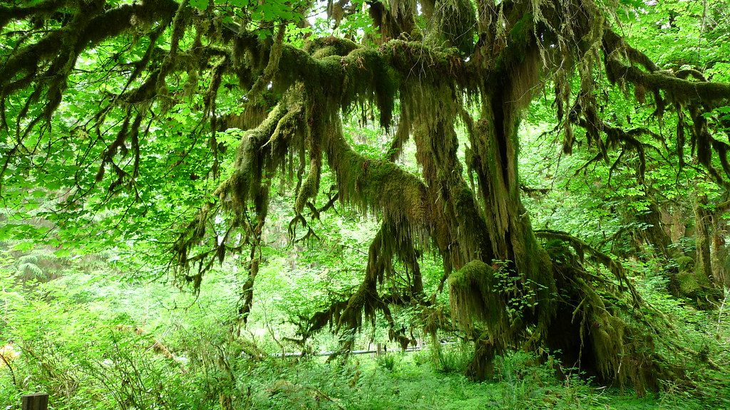
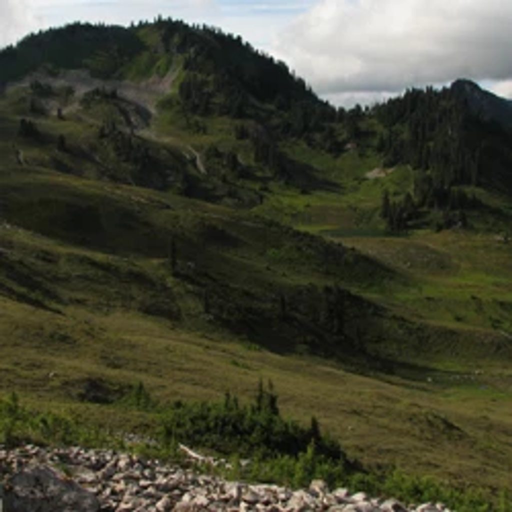
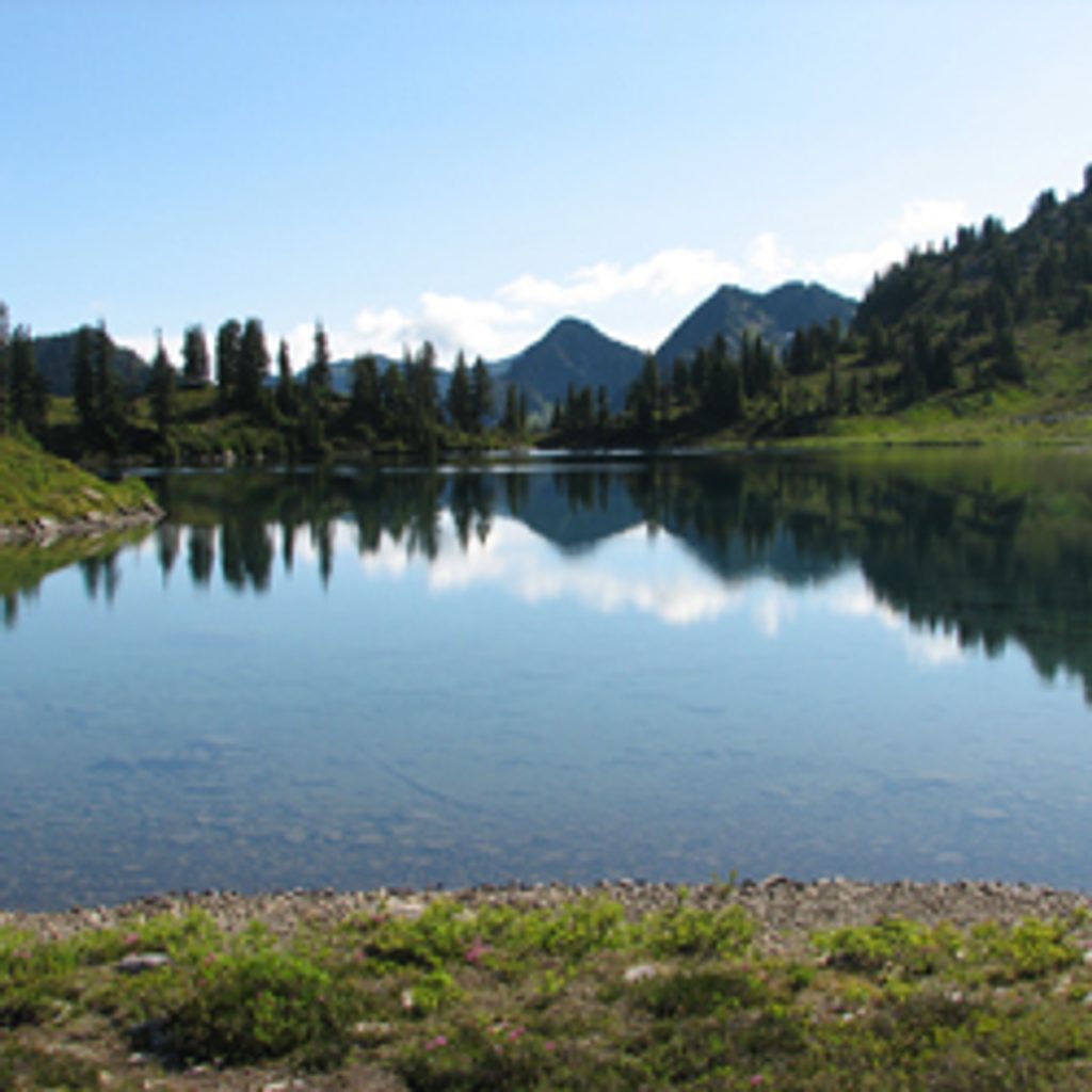
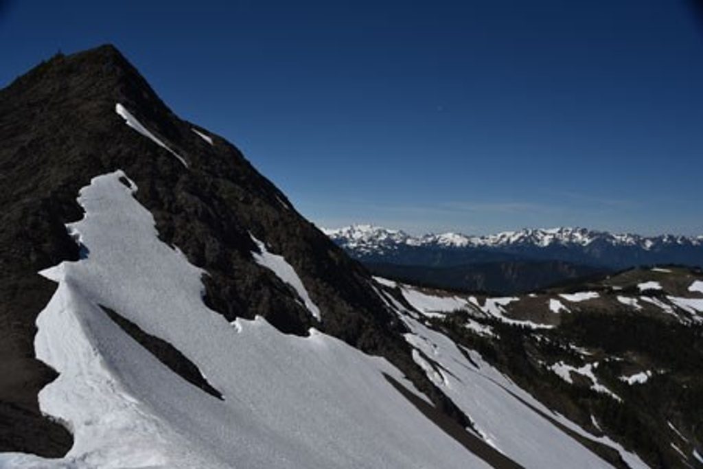
LaCrosse Pass cuts through the wild heart of Olympic, stitching together the Dosewallips, Duckabush, Skokomish, and Quinault backcountry. Expect big country: old-growth valleys giving way to subalpine meadows, sapphire lakes in LaCrosse Basin, and wide-open mountain views from the pass. It’s remote, committing, and more about the journey than any single viewpoint.
The LaCrosse Pass segment itself is about 6.5 miles one way, with roughly 3,500 feet of climbing to around 5,600 feet—plan 4–6 hours for that segment alone. Reaching it requires long approaches via other trails (common gateways include the West Fork Dosewallips, Duckabush River, North Fork Skokomish, or East Fork Quinault). Most backpackers weave LaCrosse Pass into multi-day loops, often combining with O’Neil Pass and time in LaCrosse Basin around Lake LaCrosse and Hart Lake. Note the north approach is more gradual; the south side toward the Duckabush is notably steeper.
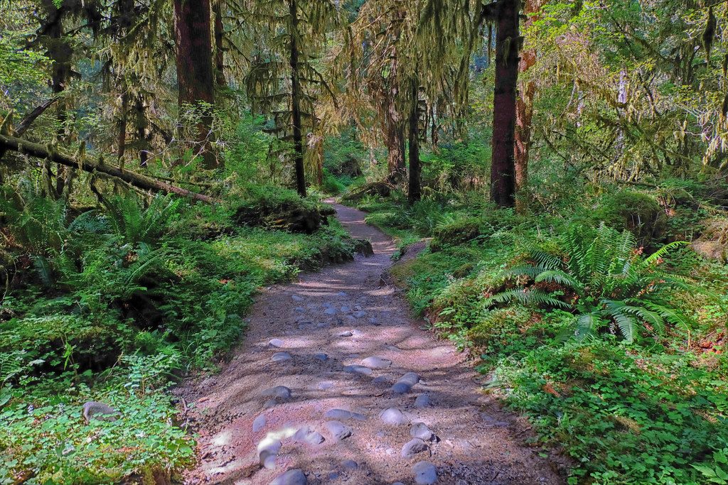
This is classic Olympic backcountry: narrow, primitive tread with roots, rocks, and brush; stream crossings that can swell after rain or snowmelt; and the possibility of lingering snowfields well into summer. Expect blowdowns and sections of overgrowth. Navigation can get real—carry a paper map and compass (and know how to use them), with GPS as a backup. Solitude is part of the charm here, along with the alpine meadows and glacier-draped views.
You’re in bear country—store food properly and keep your distance. Deer and mountain goats work these basins, and mid-to-late summer brings wildflower displays across the meadows. The subalpine lakes of LaCrosse Basin (Lake LaCrosse, Hart Lake) make beautiful layover spots if you’re camping.
Late July through September is the sweet spot. Snow can linger or return at any time at higher elevations, but this window usually offers open trails, peak wildflowers, clearer views, and (yes) some bugs. Early season travel can mean snow navigation, high water, and mud.
Bottom line: If you want a polished day hike, look elsewhere. If you want a demanding, big-country traverse with serious payoff and solitude, LaCrosse Pass delivers.
Park at your chosen approach trailhead—commonly Duckabush River, West Fork Dosewallips, North Fork Skokomish (Staircase), or East Fork Quinault. There is no road access to LaCrosse Pass itself.
Remote, strenuous route with steep grades (especially south side), unbridged stream crossings, blowdowns, and lingering snow; navigation skills required. Weather can change fast at any time of year.
Place
Place
Place
Place
Challenging
Moderate
Challenging
Challenging

Parkwolf Tour Guide
