Parking
The spur starts at Falls Camp, not at a road-side trailhead. Reach it on foot along the Upper Gray Wolf River Trail from Slab Camp Trailhead; the 4.2-mile spur distance excludes that substantial approach.
Olympic National Park, WA
A steep, brushy climb to a tucked-away mountain lake.
Overview
Map & elevation
Plan your hike

The highest, rockiest slopes around here are a summer buffet for grizzly bears.
Olympic Tour Guide
Parkwolf is a GPS audio tour guide for Olympic National Park. As you drive, it chimes in with what’s ahead: hidden gems, upcoming stops, history, geology, and wildlife, right through your car’s speakers.
See the Olympic audio tour“Fantastic app with many points of information… It’s great to just turn on while you’re driving and it gives you an audio tour of the national Park. We love it!!!!”


Trail guide
Cedar Lake Way is a 4.2-mile out-and-back from Falls Camp to Cedar Lake, retracing a 2.1-mile one-way spur. It climbs about 1,400 feet to the lake; allow roughly five hours for the spur itself. Falls Camp is reached on foot along the Upper Gray Wolf River Trail from Slab Camp Trailhead, so this is a backcountry outing and the approach adds a substantial walk beyond the distance shown here.
The junction is at the top of the meadow near Falls Camp’s campsites. It can be difficult to pick out, and the first meadow has faint paths that can lead you astray. Bring a map and compass and be prepared to navigate if the tread disappears; snow can cover the high route in any season.
The route gains height quickly through subalpine meadows, brush, and small trees. The rough tread crosses brushy, sometimes wet meadows and a creek; reports describe log-assisted crossings and downed trees. The short mileage understates the effort, and overgrowth can make progress slower than on a maintained trail.
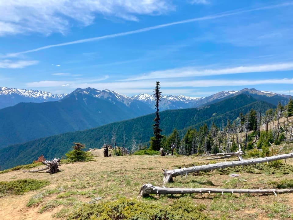
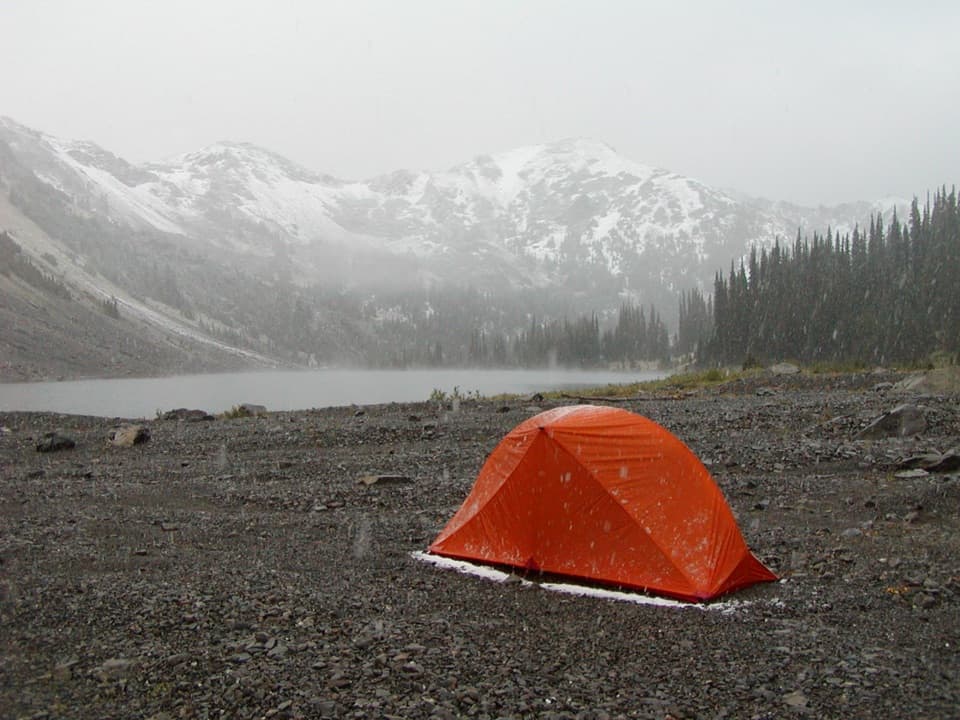
Cedar Lake sits in a high mountain basin below surrounding ridges. In summer, the meadows can hold Columbia tiger lilies, columbine, gentian violet, and white bog orchids; blooms vary by season and year. At the lake, frame the water with the mountain slopes beyond it—the shore and basin are the route’s defining view.
The park lists early July through October as the best season for the Upper Gray Wolf route, though snow may linger or return at higher elevations. Overnight camping requires a wilderness permit and bear canisters; dogs are not permitted on this trail or in park wilderness; service animals are the exception. Treat water drawn from streams before drinking.
Wildlife
 710 sightingsOlympic MarmotMost seen around 11 AMSighting map
 30 sightingsHumpback WhaleMost seen around 6 PMSighting map
 42 sightingsGrey WhaleMost seen around noonSighting map
 23 sightingsMountain LionMost seen around 8 PMSighting map
 71 sightingsMountain GoatMost seen around 7 AMSighting map
 306 sightingsBald EagleMost seen around 11 AMSighting map
Sighting maps show where each species has been reported across Olympic. Wildlife moves, so no sighting is guaranteed.
Keep exploring
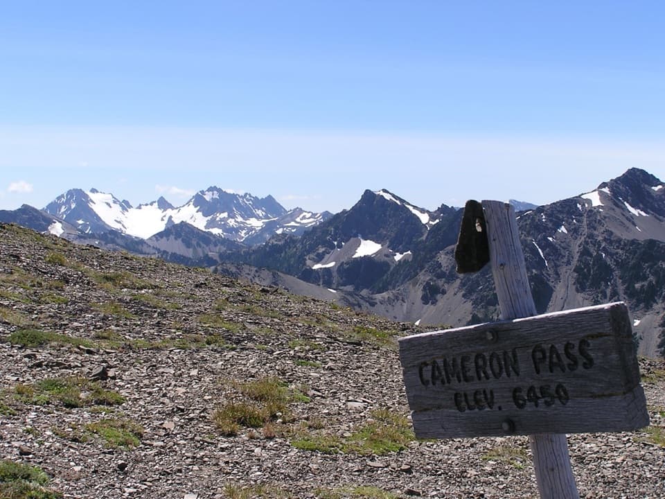 ChallengingCameron Pass Trail3.6 mi · 4 hr · 3.1 mi awayA rough climb to an alpine pass and wide mountain views.
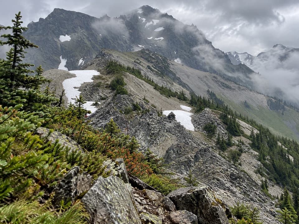 ChallengingUpper Graywolf River Trail9.1 mi · 8.5 hr · 4.4 mi awayA hard river-valley climb into the high country at Gray Wolf Pass.
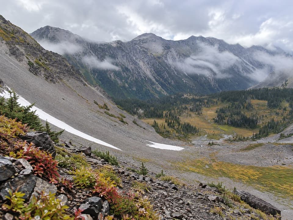 ChallengingCameron Creek Trail7 mi · 5.5 hr · 4.4 mi awayA creekside climb into brushy high-country meadows.
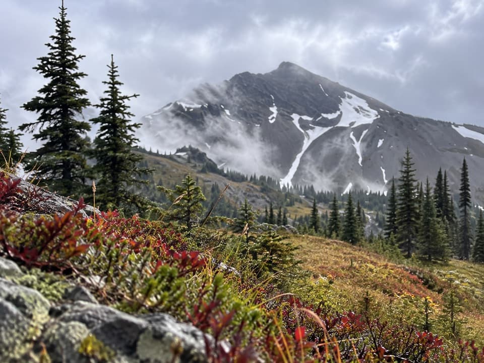 ChallengingCameron-Lost Pass Primitive Trail1.9 mi · 2.5 hr · 4.5 mi awayA rugged high-country connector between two remote passes.
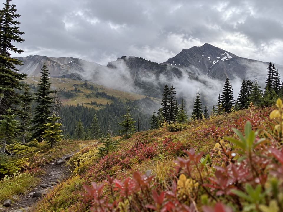 ChallengingLost Pass Primitive Trail1.6 mi · 2 hr · 5.1 mi awayA steep, primitive climb to a high-country pass.
 ModerateObstruction Point to Deer Park Trail7.4 mi · 4.5 hr · 6.5 mi awayA high ridge crossing opens views across the Strait and Olympic range.
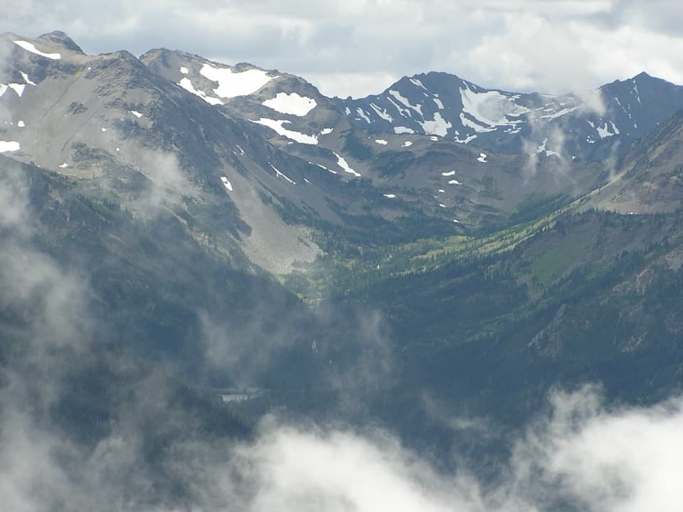 ChallengingGrand Valley via Grand Pass Trail12 mi · 9 hr · 6.5 mi awayThree lakes, an alpine ridge, and a long climb to Grand Pass.
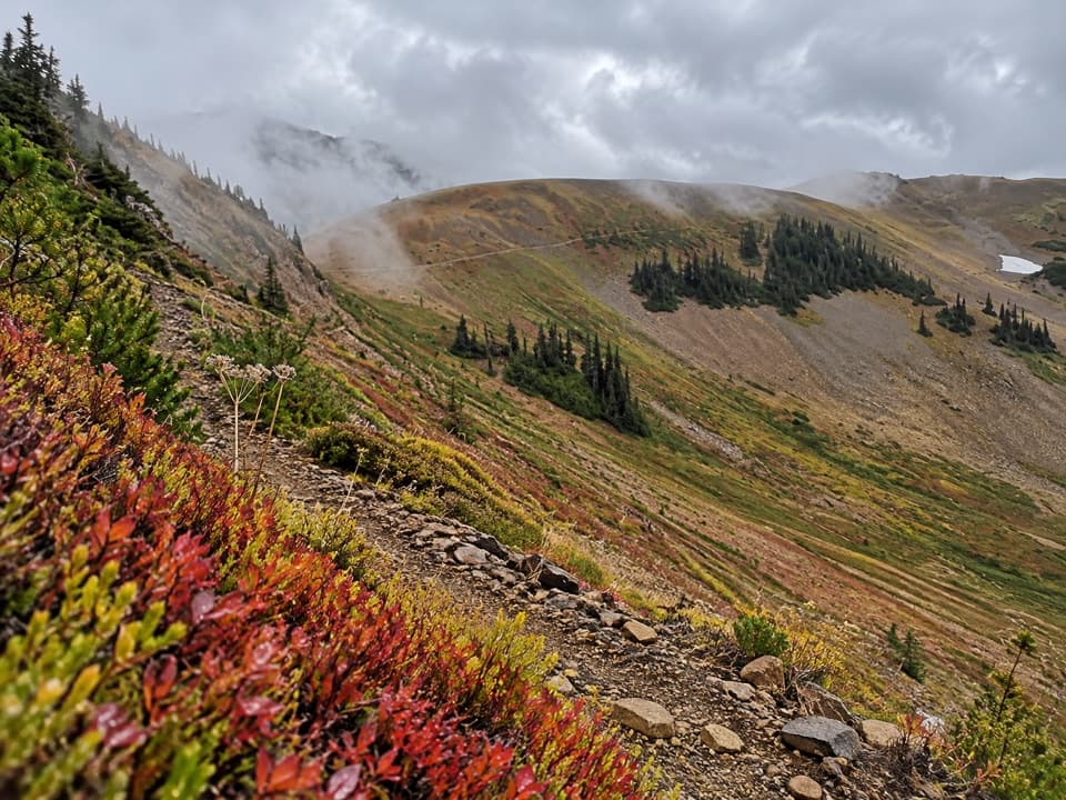 ChallengingBadger Valley Primitive Trail8.6 mi · 6.5 hr · 6.5 mi awayA steep descent into wildflower meadows, followed by a long climb back.
Parkwolf’s Olympic ranking

The audio tour guide for the drive, plus offline maps, trails, and wildlife heatmaps for when the signal drops.