Parking
There is no vehicle parking at Hayes River. The west-side approach begins at Whiskey Bend Trailhead on the Elwha River Trail; reach Hayes River on foot. The mapped segment ends at Hayden Pass, so plan your onward route or return separately.
Olympic National Park, WA
A remote 8.3-mile climb from Hayes River to Hayden Pass.
Overview
Map & elevation
Plan your hike

The highest, rockiest slopes around here are a summer buffet for grizzly bears.
Olympic Tour Guide
Parkwolf is a GPS audio tour guide for Olympic National Park. As you drive, it chimes in with what’s ahead: hidden gems, upcoming stops, history, geology, and wildlife, right through your car’s speakers.
See the Olympic audio tour“Fantastic app with many points of information… It’s great to just turn on while you’re driving and it gives you an audio tour of the national Park. We love it!!!!”


Trail guide
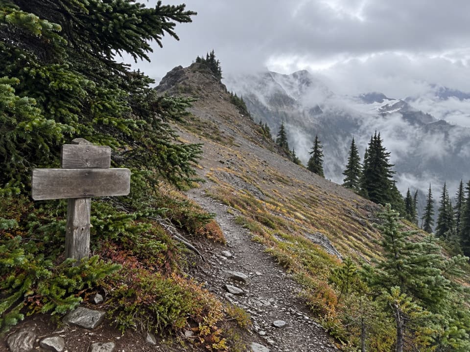
Hayden Pass Trail is an 8.3-mile one-way route from Hayes River to Hayden Pass, climbing 4,047 feet from the Elwha River Trail to a 5,847-foot pass. It rises from montane forest toward subalpine meadow, with mountain views at the pass. This is a hard backcountry leg, not a drive-up day hike or a round trip. Allow about eight hours for the segment itself; reaching Hayes River and continuing beyond the pass add their own miles.
Hayes River is a campsite and junction on the Elwha River Trail; the Hayden Pass route begins there. The tread is lower-maintenance, though generally decent underfoot. The route climbs overall through montane forest toward higher meadows. A few ponds and streams are found on the upper section; treat water before drinking.
The west side has a long stretch with no canopy. Erosion and remaining blowdowns in the 2016 Hayes Fire area slow travel, and the open slopes offer little shade. At the 5,847-foot pass, the trail reaches a high saddle with mountain views; this is the point to stop and take in the divide before choosing how to continue.
The mapped line covers only Hayes River to Hayden Pass. It does not include the long Elwha approach or the route down the other side, so do not read 8.3 miles as a round trip. Reach the west start on foot along the Elwha River Trail from Whiskey Bend; the pass connects onward to the separate Main Fork Dosewallips River Trail. Overnight backpacking requires a wilderness permit year-round, and bear canisters are required. Dogs are not allowed on Olympic's wilderness trails; trained service animals are the exception.
Wildlife
 710 sightingsOlympic MarmotMost seen around 11 AMSighting map
 30 sightingsHumpback WhaleMost seen around 6 PMSighting map
 42 sightingsGrey WhaleMost seen around noonSighting map
 23 sightingsMountain LionMost seen around 8 PMSighting map
 71 sightingsMountain GoatMost seen around 7 AMSighting map
 306 sightingsBald EagleMost seen around 11 AMSighting map
Sighting maps show where each species has been reported across Olympic. Wildlife moves, so no sighting is guaranteed.
Keep exploring
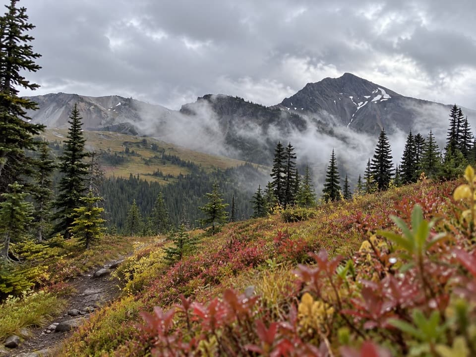 ChallengingLost Pass Primitive Trail1.6 mi · 2 hr · 4.9 mi awayA steep, primitive climb to a high-country pass.
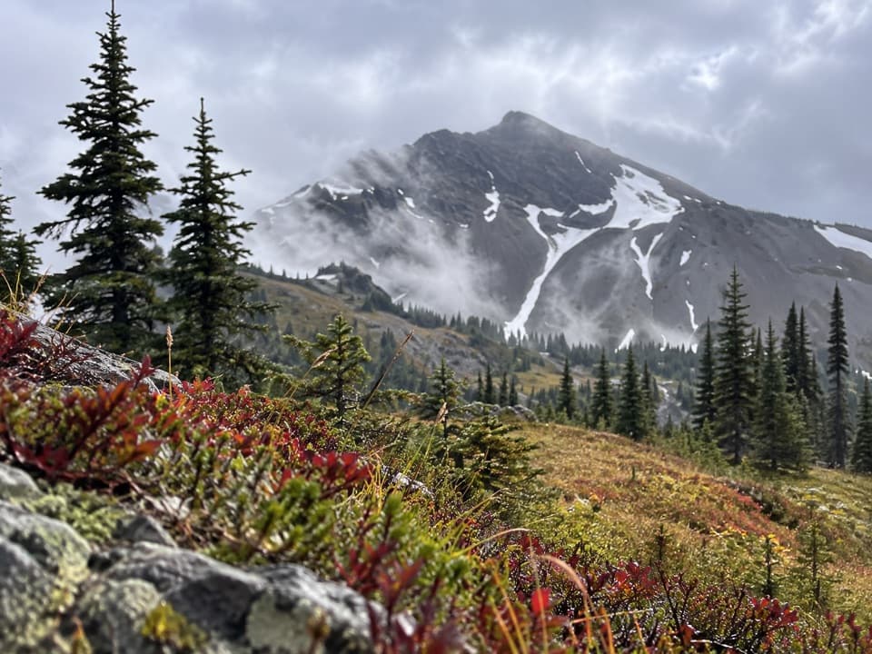 ChallengingCameron-Lost Pass Primitive Trail1.9 mi · 2.5 hr · 4.9 mi awayA rugged high-country connector between two remote passes.
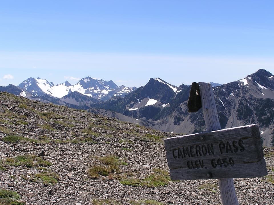 ChallengingCameron Pass Trail3.6 mi · 4 hr · 5.7 mi awayA rough climb to an alpine pass and wide mountain views.
 ModerateHappy Hollow Trail3.6 mi · 2.5 hr · 6.3 mi awayA remote shelter spur at the edge of the Bailey Range
 ModerateMartin's Park Trail4.6 mi · 4.5 hr · 7.7 mi awayA rough backcountry spur leads to lakes atop a 200-foot cliff.
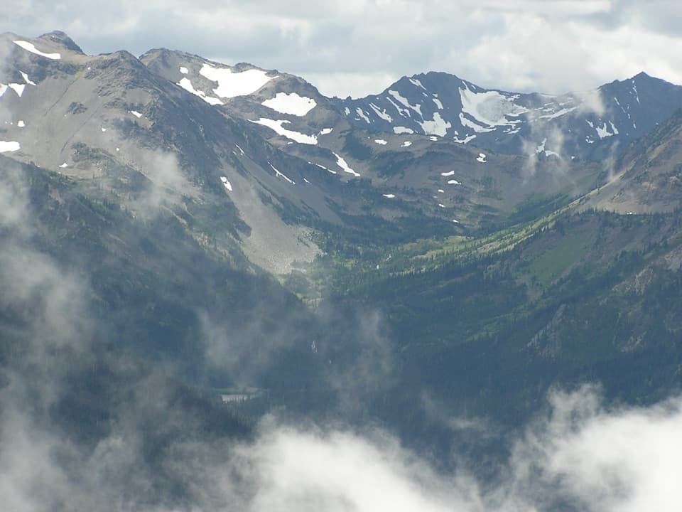 ChallengingGrand Valley via Grand Pass Trail12 mi · 9 hr · 8 mi awayThree lakes, an alpine ridge, and a long climb to Grand Pass.
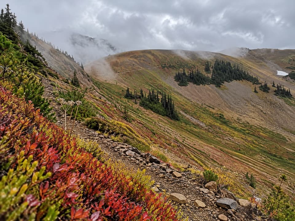 ChallengingBadger Valley Primitive Trail8.6 mi · 6.5 hr · 8 mi awayA steep descent into wildflower meadows, followed by a long climb back.
 ModerateObstruction Point to Deer Park Trail7.4 mi · 4.5 hr · 8.1 mi awayA high ridge crossing opens views across the Strait and Olympic range.
Parkwolf’s Olympic ranking

The audio tour guide for the drive, plus offline maps, trails, and wildlife heatmaps for when the signal drops.