Cameron Pass Trail in Olympic National Park

Olympic National Park, WA

Cameron Pass Trail

A rough climb to an alpine pass and wide mountain views.

Photo: National Park Service
Length
3.6mi
Time
4hr
Elev. change
2,330ft
Difficulty
Challenging
  • No dogs
  • High point 6,491 ft
Parkwolf audio tour204 stories across Olympic’s roads

Overview

About Cameron Pass Trail

Why go

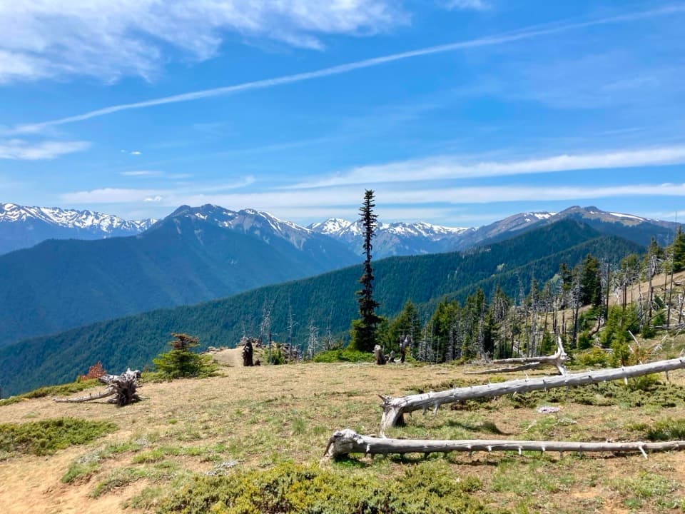
  • The climb reaches a high pass with a broad mountain panorama.

Heads up

  • Brushy, hard-to-follow tread and a steep climb.
  • The 7.7-mile roadless approach adds substantial distance.

Map & elevation

The route

Loading the Olympic map
Full map
Elevation4,161–6,491 ft
TrailheadGrand Pass/Cameron Creek Trail junction47.85687, -123.34516
Keep this map with you offline in the Parkwolf app

Plan your hike

Before you go

Parking

Use Obstruction Point Trailhead on Obstruction Point Road, off Hurricane Ridge Road. The Grand Valley/Grand Pass approach is about 7.7 trail miles one way to the Grand Pass/Cameron Creek junction where this segment starts; that approach is separate from the 3.6-mile route distance.

Safety

Primitive overgrown tread is difficult to follow, and the climb is steep. Snow and ice may persist into late July or August; snow-covered travel can require map-and-compass skills, an ice axe and self-arrest ability.

6 active Olympic alerts

  • InfoNo potable water at Hurricane RidgeMentions Hurricane Ridge, referenced in this guideNo potable water is available at Hurricane Ridge; bring your own drinking water.Official details
  • CautionUS 101 Hoh River Bridge reduced to one laneUS 101 at the Hoh River Bridge is restricted to one lane of alternating traffic; obey the signals and 25 mph speed limit.Official details
See all 6 alerts
A park ranger sits on a dash-mounted phone, talking, as Parkwolf’s Tour Guide plays “Army Cutworm Moths: A Grizzly Bear Buffet” on Grand Loop Road below Dunraven Pass in Yellowstone
Parkwolf Tour GuideThe highest, rockiest slopes around here are a summer buffet for grizzly bears.

Olympic Tour Guide

Your drive to Cameron Pass Trail, narrated.

Parkwolf is a GPS audio tour guide for Olympic National Park. As you drive, it chimes in with what’s ahead: hidden gems, upcoming stops, history, geology, and wildlife, right through your car’s speakers.

See the Olympic audio tour

More stories near here in the app

  • Obstruction Point: Stay High on Lillian Ridge
  • The Lily at the Snow’s Edge
  • 204 audio storiesacross Olympic’s roads, triggered by GPS as you drive
  • Wildlife heatmapsfor Olympic Marmot, Humpback Whale, Grey Whale, and 13 more
  • Works offlinemaps, 148 trails, 94 places, and audio download before you lose signal
  • CarPlay readysimple controls built for the drive
★★★★★
“Fantastic app with many points of information… It’s great to just turn on while you’re driving and it gives you an audio tour of the national Park. We love it!!!!”
JMJamesApp Store review
Download Parkwolf on the App StoreGet Parkwolf on Google Play

4.7 from 8,600+ ratings

Trail guide

Hiking Cameron Pass Trail

Cameron Pass is a backcountry segmentCameron Pass Trail is a 3.

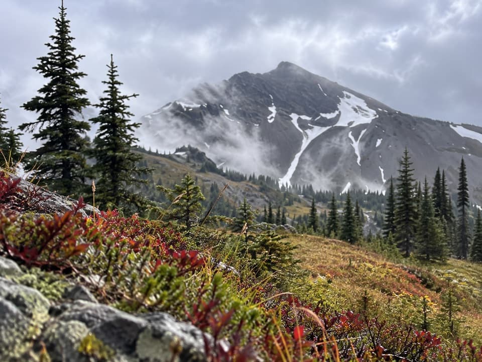
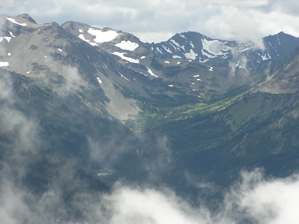
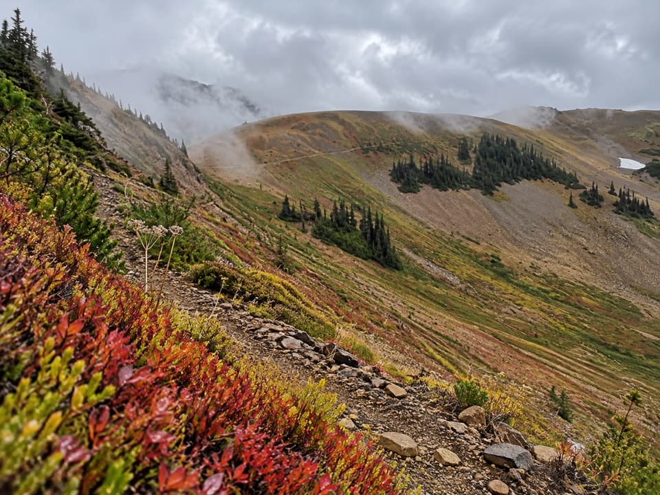
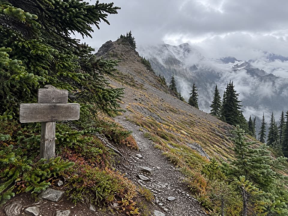
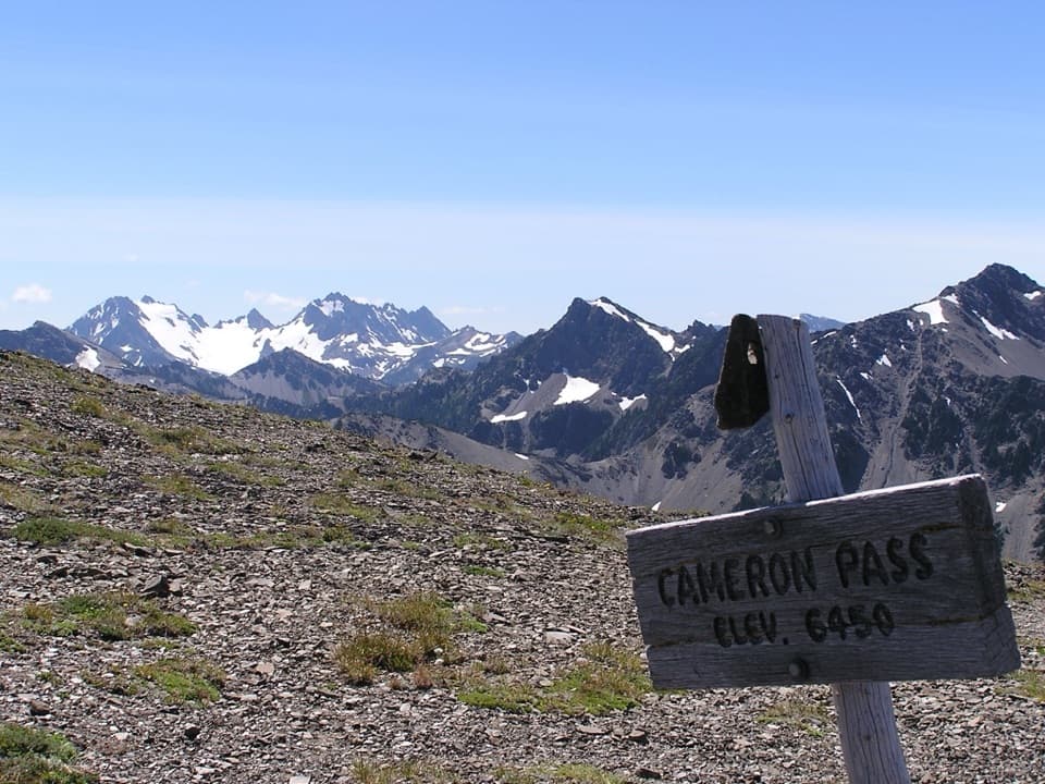
Cameron Pass Trail is a 3.6-mile, one-way climb from the Grand Pass Trail junction to Cameron Pass. It crosses brushy, stream-laced meadow into Cameron Basin, then climbs steeply to the pass for wide mountain views. The route gains about 2,300 feet. This is a remote wilderness segment, not a roadside day hike: the long approach to its starting junction is extra.

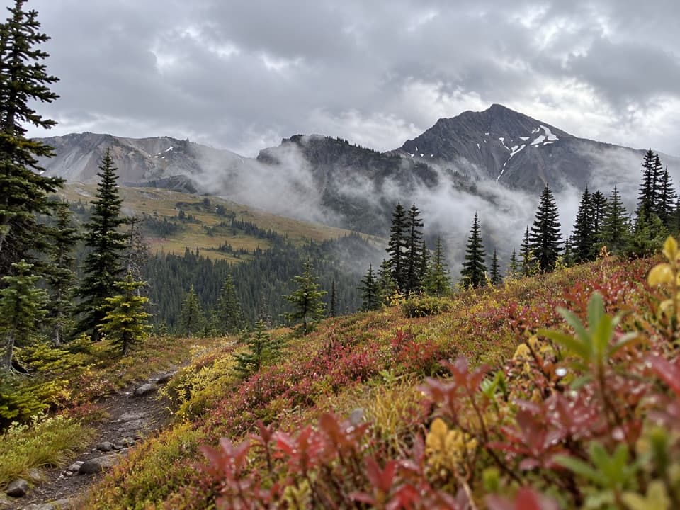
The route to the passBelow Cameron Basin, the tread is primitive, brushy and difficult to follow.

Below Cameron Basin, the tread is primitive, brushy and difficult to follow. The route crosses a meadow cut by small streams before opening into the basin. From there it climbs steeply to the pass. Allow about four hours for the segment itself; that estimate does not include the approach.

Getting to the junctionFrom Obstruction Point Trailhead, the Grand Valley/Grand Pass approach is about 7.

From Obstruction Point Trailhead, the Grand Valley/Grand Pass approach is about 7.7 miles one way to the junction where this segment begins. Those miles are not included in the 3.6-mile trail distance. If you return to Obstruction Point the same way, the junction-to-pass segment makes the full out-and-back at least 22.6 miles. Plan this as part of a backcountry itinerary, not a quick pass visit.

Snow and overnight rulesThe usual season is late July through September, but snow and ice can linger into late July or…

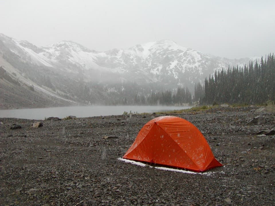
The usual season is late July through September, but snow and ice can linger into late July or August. Snow-covered travel can require map-and-compass skills, an ice axe and self-arrest ability. Overnight camping in Cameron Basin requires a wilderness permit and bear canister; fires are prohibited and basin camps have no toilets. Dogs are not allowed on wilderness trails; service animals are excepted.

Wildlife

Wildlife in Olympic

All Olympic wildlife maps

Sighting maps show where each species has been reported across Olympic. Wildlife moves, so no sighting is guaranteed.

Parkwolf’s Olympic ranking

Top-rated trails in Olympic

All 148 trails
  1. 1Hall of Mosses TrailEasy · 0.8 mi
  2. 2Hurricane Hill TrailModerate · 3.3 mi
  3. 3Sol Duc Falls Nature TrailEasy · 1.6 mi
  4. 4High Divide Loop (Seven Lakes Basin)Challenging · 19 mi
  5. 5Hoh River TrailChallenging · 34.8 mi
  6. 6Shi Shi Beach and Point of Arches TrailModerate · 8 mi

Take Parkwolf to Olympic.

The audio tour guide for the drive, plus offline maps, trails, and wildlife heatmaps for when the signal drops.

4.7 from 8,600+ ratings

Download Parkwolf on the App StoreGet Parkwolf on Google Play