Parking
Obstruction Point Trailhead at the end of Obstruction Point Road, about 18 miles up Hurricane Ridge Road and then eight rough road miles. The trail starts just south of the lot. Parking capacity and services were not found.
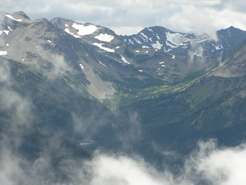
Olympic National Park, WA
Three lakes, an alpine ridge, and a long climb to Grand Pass.
Overview
Map & elevation
Plan your hike

The highest, rockiest slopes around here are a summer buffet for grizzly bears.
Olympic Tour Guide
Parkwolf is a GPS audio tour guide for Olympic National Park. As you drive, it chimes in with what’s ahead: hidden gems, upcoming stops, history, geology, and wildlife, right through your car’s speakers.
See the Olympic audio tourRecorded for this trailhead
Obstruction Point: Stay High on Lillian Ridge“Obstruction Point trailhead is coming up, with open mountain views along Lillian Ridge.”
Plays as you drive up to this trailhead in the Parkwolf Olympic Tour Guide.
More stories near here in the app
“Fantastic app with many points of information… It’s great to just turn on while you’re driving and it gives you an audio tour of the national Park. We love it!!!!”


Trail guide
Grand Valley via Grand Pass is a 12-mile out-and-back from Obstruction Point across open Lillian Ridge, down into a three-lake basin, then up to Grand Pass. Set aside about nine hours: the route gains 4,070 feet and reaches roughly 6,450 feet. It is a full alpine day with a big payoff for hikers comfortable with steep ground and long descents. If 12 miles is more than you want, Grand Lake makes a shorter turnaround at about 3.7 miles each way.
The trail leaves just south of Obstruction Point’s parking area and heads straight into open tundra-like terrain. Lillian Ridge rolls up and down to a high point around 1.5 miles from the start. The early miles give you wide views across Olympic peaks, with wildflowers and marmots often reported along the ridge. There is little shelter in this open stretch, and you cross the ridge again on the way back.
Past the ridge, the trail drops about 1,500 feet on steep switchbacks through scree, open meadows, and patches of subalpine fir. Loose rock makes the descent slower than its map distance suggests. You have to climb back out of the valley later, so save enough energy for that return effort.
Grand Lake comes first; Moose Lake is about half a mile farther, and Gladys Lake lies deeper in the basin. The payoff is a string of subalpine lakes and meadows framed by mountain slopes, not one isolated viewpoint. Small creeks cross the trail, so expect wet feet. Natural water is available at Grand Creek, Grand Lake, and Moose Lake, but treat it before drinking. Solar composting toilets are available at Grand Lake and Moose Lake.
Beyond Gladys Lake, the route roughens for its final 1.5-mile climb, gaining about 1,000 feet to Grand Pass. On a clear day the open pass has broad views in every direction; include the lake basin below in a photo to show the scale. Grand Pass is the turnaround for this hike. A separate informal spur toward Grand Pass Peak continues beyond it, so follow that only if you mean to extend the route.
Wildlife
 710 sightingsOlympic MarmotMost seen around 11 AMSighting map
 30 sightingsHumpback WhaleMost seen around 6 PMSighting map
 42 sightingsGrey WhaleMost seen around noonSighting map
 23 sightingsMountain LionMost seen around 8 PMSighting map
 71 sightingsMountain GoatMost seen around 7 AMSighting map
 306 sightingsBald EagleMost seen around 11 AMSighting map
Sighting maps show where each species has been reported across Olympic. Wildlife moves, so no sighting is guaranteed.
Keep exploring
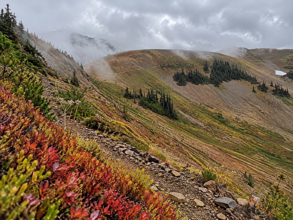 ChallengingBadger Valley Primitive Trail8.6 mi · 6.5 hr · At the trailheadA steep descent into wildflower meadows, followed by a long climb back.
 ModerateObstruction Point to Deer Park Trail7.4 mi · 4.5 hr · At the trailheadA high ridge crossing opens views across the Strait and Olympic range.
 ModerateEagle Point Trail1.4 mi · 1.5 hr · 1.6 mi awayA faint 1.4-mile route to Eagle Point's open summit
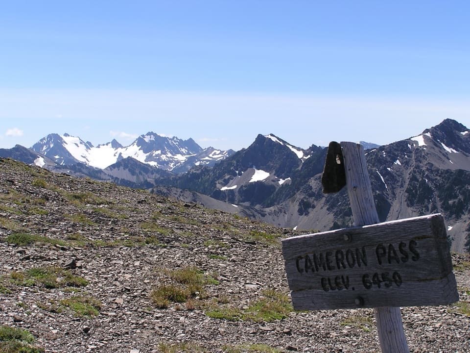 ChallengingCameron Pass Trail3.6 mi · 4 hr · 4.6 mi awayA rough climb to an alpine pass and wide mountain views.
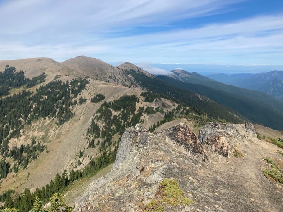 ModerateElk Mountain Trail11 mi · 7.5 hr · 5.8 mi awayEleven ridge miles lead to Elk Mountain and views over the Strait.
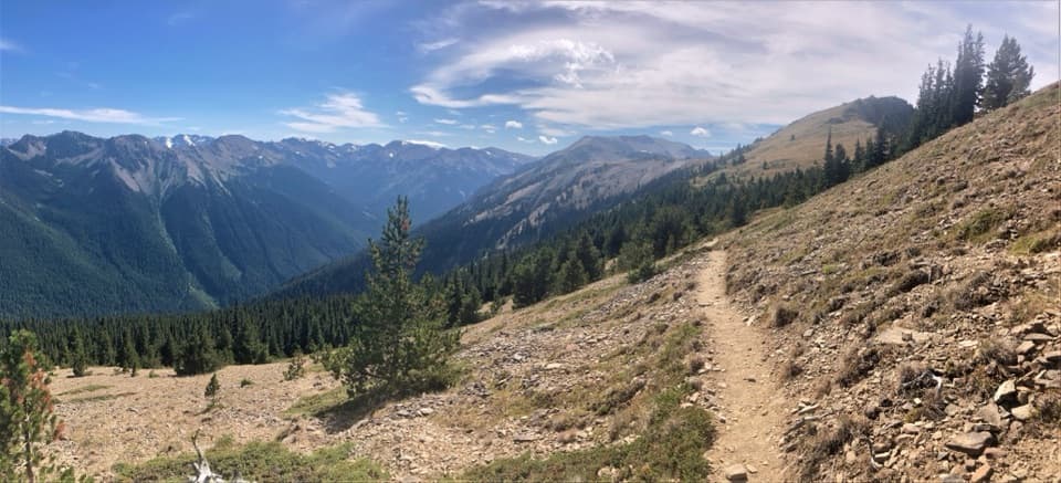 ChallengingMaiden Peak Trail7.2 mi · 5 hr · 5.8 mi awayA steep climb trades forest shade for open slopes and rocky views.
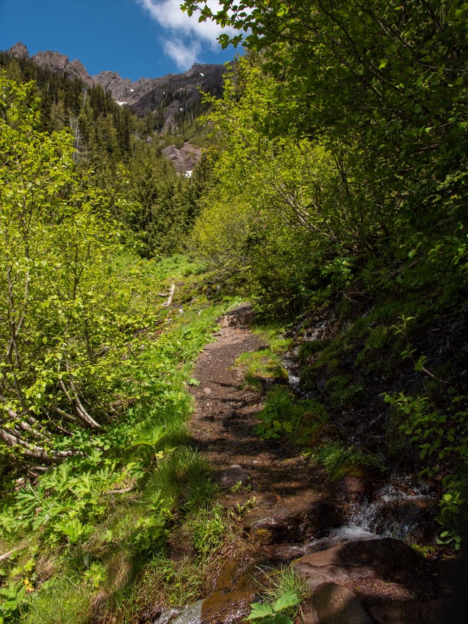 ChallengingSwitchback Trail3.1 mi · 3 hr · 6 mi awayA steep, direct climb to wildflower meadows and Klahhane Ridge.
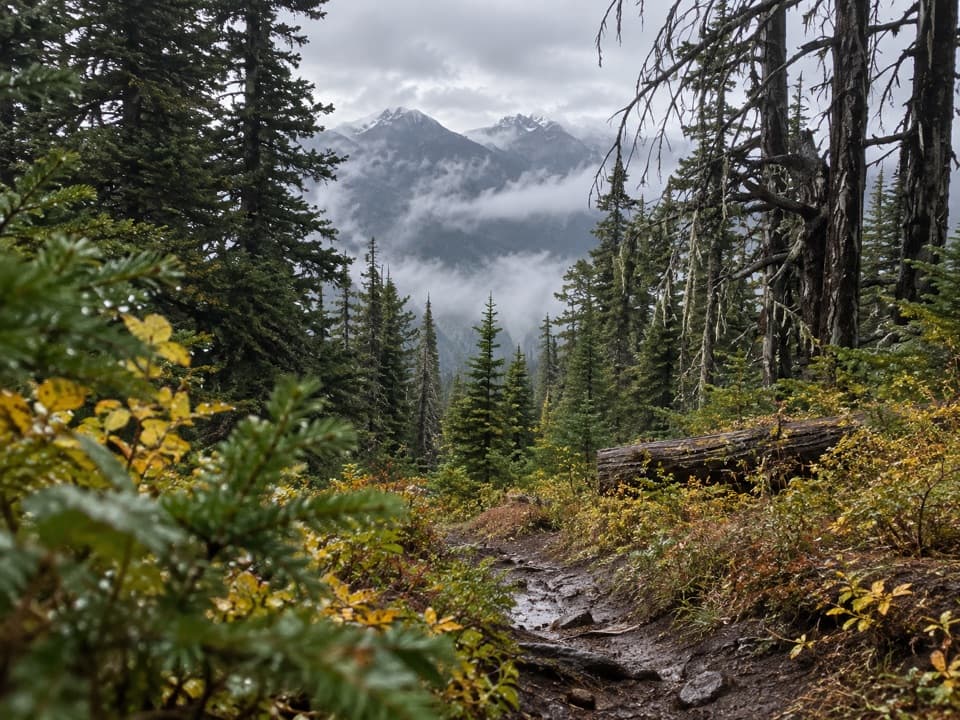 ChallengingThree Forks Trail8.5 mi · 7.5 hr · 6.1 mi awayA steep drop into the valley, then the whole climb back.
 Sight · 5.2 mi awayMorse Creek OverlookA quick roadside geology stop with an ice-age lake and pillow basalt.
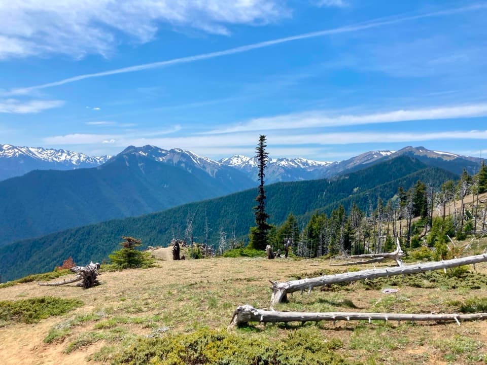 Campground · 6.1 mi awayDeer Park CampgroundA 5,400-foot camp with mountain views and a steep gravel approach.
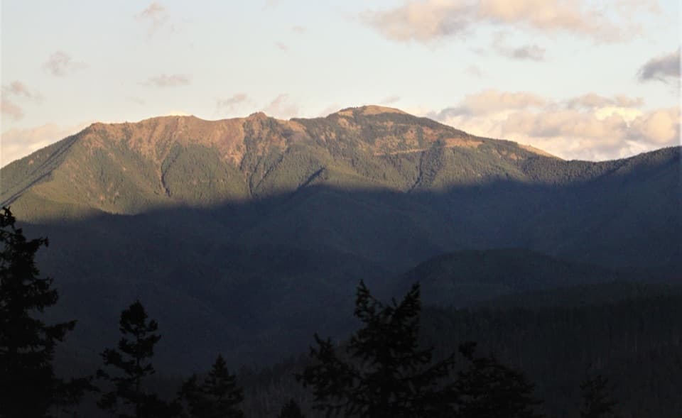 Sight · 6.2 mi awayBlue MountainA half-mile loop to broad Strait and Olympic Mountain views.
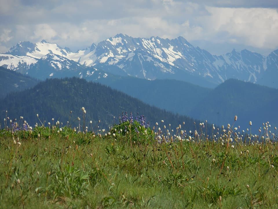 Sight · 6.4 mi awayHurricane RidgeBailey Range views from the road-end meadow.
 Sight · 6.5 mi awayCirque Rim OverlookA quick paved walk to broad views across the Strait.
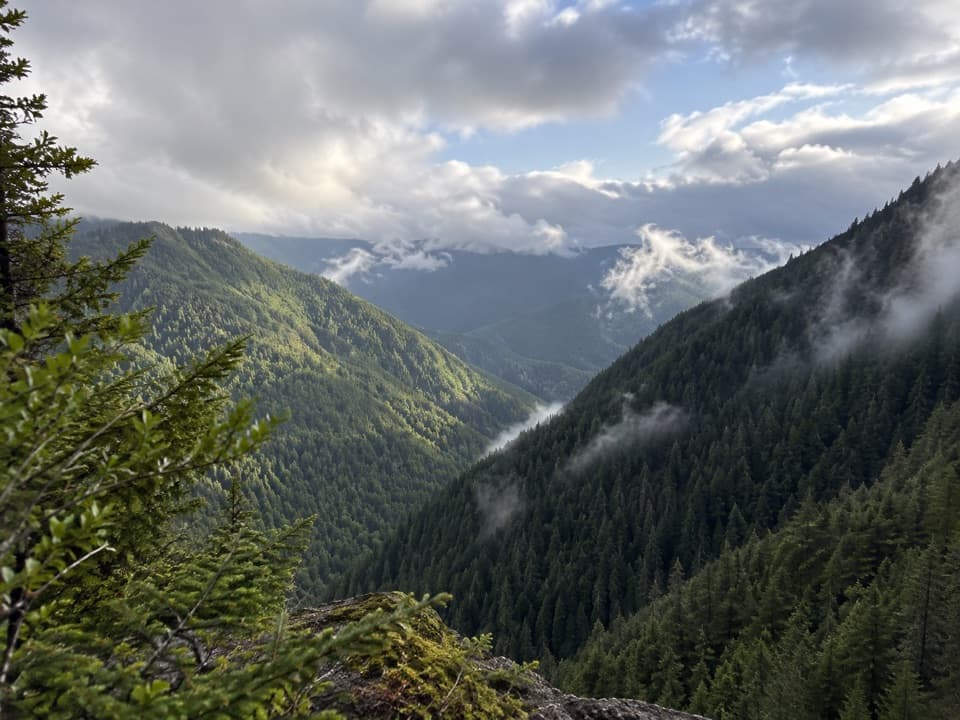 Sight · 6.5 mi awayWater Journey OverlookA quick mountain view on the way up Hurricane Ridge Road.
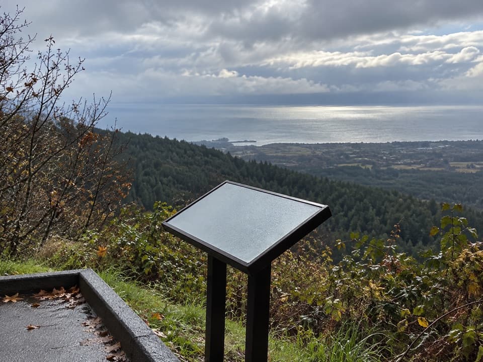 Sight · 6.5 mi awayNorth Peninsula OverlookA roadside pause for the Strait and a forested valley.
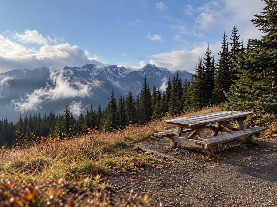 Picnic area · 7.1 mi awayHurricane Hill Picnic Areas A and BA summer picnic stop with mountain views along Hurricane Hill Road.
Parkwolf’s Olympic ranking

The audio tour guide for the drive, plus offline maps, trails, and wildlife heatmaps for when the signal drops.





