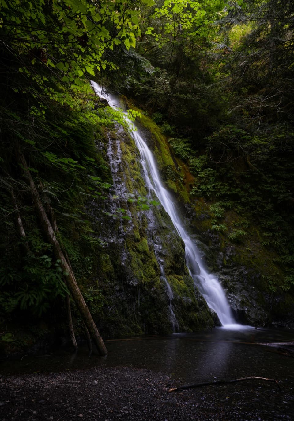
Elwha River Trail to Lake Margaret in Olympic National Park

Olympic National Park, WA

Elwha River Trail to Lake Margaret

Long Elwha wilderness trek to Lake Margaret with a required river ford.

Photo: National Park Service
Length
55.4mi
Time
1.2days
Elev. change
2,398ft
Difficulty
Challenging
  • No dogs
  • High point 3,655 ft
  • #52 of 148 in Olympic
Parkwolf audio tour204 stories across Olympic’s roads

Overview

About Elwha River Trail to Lake Margaret

Why go

  • A remote Elwha valley route reaches historic homestead cabins and high-country camps.

Heads up

  • A very long out-and-back with a required river ford and conflicting mileage.

Map & elevation

The route

Loading the Olympic map
Full map
Elevation1,257–3,655 ft
TrailheadWhiskey Bend Trailhead47.96784, -123.58248
Keep this map with you offline in the Parkwolf app

Plan your hike

Before you go

Parking

Use the limited Madison Falls parking area. Vehicle access beyond it is closed because of road washout. Whiskey Bend is the named wilderness trailhead, reached by an additional road/bypass approach on foot or bicycle; check current access before travel.

Safety

The Elwha must be forded at Chicago Camp; the crossing can be hazardous. Snow may linger beyond Chicago Camp into July. Overnight hikers need a wilderness permit and approved bear canisters. The published distance and mapped line disagree, so verify mileage before setting out. Vehicle access ends at Madison Falls because of the Elwha road washout. Reaching Whiskey Bend requires an additional approach on foot or by bicycle along the roads and bypass; that approach is additional to the trail mileage below.

6 active Olympic alerts

  • ClosureOlympic Hot Springs and Whiskey Bend roads closed to vehiclesMentions Whiskey Bend, referenced in this guideOlympic Hot Springs Road is closed to vehicles at the Madison Falls parking area because of a washout; Whiskey Bend Road is closed to vehicles because of the Olympic Hot Springs Road washout.Official details
  • CautionUS 101 Hoh River Bridge reduced to one laneUS 101 at the Hoh River Bridge is restricted to one lane of alternating traffic; obey the signals and 25 mph speed limit.Official details
See all 6 alerts
A park ranger sits on a dash-mounted phone, talking, as Parkwolf’s Tour Guide plays “Army Cutworm Moths: A Grizzly Bear Buffet” on Grand Loop Road below Dunraven Pass in Yellowstone
Parkwolf Tour GuideThe highest, rockiest slopes around here are a summer buffet for grizzly bears.

Olympic Tour Guide

Your drive to Elwha River Trail to Lake Margaret, narrated.

Parkwolf is a GPS audio tour guide for Olympic National Park. As you drive, it chimes in with what’s ahead: hidden gems, upcoming stops, history, geology, and wildlife, right through your car’s speakers.

See the Olympic audio tour

More stories near here in the app

  • Hurricane Hill: Summit or Picnic
  • Hurricane Ridge
  • The Griff Fire’s Steep Slopes
  • Madison Falls: A Short Walk in the Elwha
  • 204 audio storiesacross Olympic’s roads, triggered by GPS as you drive
  • Wildlife heatmapsfor Olympic Marmot, Humpback Whale, Grey Whale, and 13 more
  • Works offlinemaps, 148 trails, 94 places, and audio download before you lose signal
  • CarPlay readysimple controls built for the drive
★★★★★
“Fantastic app with many points of information… It’s great to just turn on while you’re driving and it gives you an audio tour of the national Park. We love it!!!!”
JMJamesApp Store review
Download Parkwolf on the App StoreGet Parkwolf on Google Play

4.7 from 8,600+ ratings

Trail guide

Hiking Elwha River Trail to Lake Margaret

Route and commitmentThis is a long out-and-back wilderness route from Whiskey Bend to Lake Margaret.

This is a long out-and-back wilderness route from Whiskey Bend to Lake Margaret. Published park mileage gives 27.7 miles one way to the lake, or 55.4 miles if you return the same way. The mapped corridor in this record measures about 25.9 miles one way, so the published distance and route line do not agree; confirm the full route on a current official map before planning. Expect roughly 28 moving hours across several days, not a day hike.

Through the Elwha valleyThe trail moves from lowland forest through the river valley into montane forest.

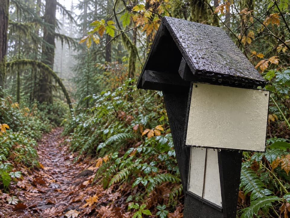
The trail moves from lowland forest through the river valley into montane forest. It passes the camps at Mary's Falls, Canyon, Elkhorn, Hayes River, Camp Wilder and Chicago. The Elwha is the park's largest watershed, and historic homestead cabins are a distinctive part of the valley's story. The route is a serious backcountry commitment even though the park classifies its overall difficulty as moderate.

Crossings, water and camp rulesYou must ford the Elwha at Chicago Camp on the route toward Lake Margaret and Low Divide.

You must ford the Elwha at Chicago Camp on the route toward Lake Margaret and Low Divide. The crossing can be hazardous, especially when water is high. Treat water from the Elwha and tributaries. Overnight hikers need a wilderness permit year-round and approved bear canisters; fires are prohibited above 3,500 feet. Pit toilets are listed at Mary's Falls, Elkhorn, Hayes River, Camp Wilder and Chicago; none is listed at Canyon Camp.

Weather and accessSnow may linger beyond Chicago Camp into July.

Snow may linger beyond Chicago Camp into July. Vehicle access ends at Madison Falls because of the Elwha road washout. Reaching Whiskey Bend requires an additional approach on foot or by bicycle along the roads and bypass; that approach is additional to the trail mileage below. Dogs are not allowed on this wilderness route.

Wildlife

Wildlife in Olympic

All Olympic wildlife maps

Sighting maps show where each species has been reported across Olympic. Wildlife moves, so no sighting is guaranteed.

Keep exploring

Near Elwha River Trail to Lake Margaret

See it all on the map

Trails that start nearby

Places near the trailhead

Parkwolf’s Olympic ranking

Top-rated trails in Olympic

All 148 trails
  1. 1Hall of Mosses TrailEasy · 0.8 mi
  2. 2Hurricane Hill TrailModerate · 3.3 mi
  3. 3Sol Duc Falls Nature TrailEasy · 1.6 mi
  4. 4High Divide Loop (Seven Lakes Basin)Challenging · 19 mi
  5. 5Hoh River TrailChallenging · 34.8 mi
  6. 6Shi Shi Beach and Point of Arches TrailModerate · 8 mi

Take Parkwolf to Olympic.

The audio tour guide for the drive, plus offline maps, trails, and wildlife heatmaps for when the signal drops.

4.7 from 8,600+ ratings

Download Parkwolf on the App StoreGet Parkwolf on Google Play