Parking
Use the Happy Lake Ridge trailhead pullout on Olympic Hot Springs Road, about 8.7 road miles from the US 101 turnoff. There are no services at this remote access.

Olympic National Park, WA
A steep ridge climb drops to a grassy alpine lakeshore.
Overview
Map & elevation
Plan your hike

The highest, rockiest slopes around here are a summer buffet for grizzly bears.
Olympic Tour Guide
Parkwolf is a GPS audio tour guide for Olympic National Park. As you drive, it chimes in with what’s ahead: hidden gems, upcoming stops, history, geology, and wildlife, right through your car’s speakers.
See the Olympic audio tourMore stories near here in the app
“Fantastic app with many points of information… It’s great to just turn on while you’re driving and it gives you an audio tour of the national Park. We love it!!!!”


Trail guide
Happy Lake Trail is a primitive out-and-back up Happy Lake Ridge to a grassy alpine lake. The mapped corridor is about 4.8 miles each way, or 9.6 miles round trip from the Happy Lake Ridge pullout. Expect roughly 4,000 feet of climbing. No dependable hiking time is published, so budget about nine hours and more if you like long breaks. The sustained climb and rough tread make this a hard outing for hikers comfortable with a big ascent and backcountry navigation.
The trail starts climbing in steep switchbacks through open forest, salal and tall trees. The first major climb gains about 2,850 feet before the grade eases on the ridge. There is little water along much of this stretch, so carry what you need until the lake or a stream.
Openings along the ridge look south toward glaciers on Mount Carrie and Mount Olympus, and north toward the Strait of Juan de Fuca. The high country can hold snow in any season, and snow can hide the tread; July through October is generally the best season. Carry a map and compass and be ready to navigate if the trail disappears under snow.
A signed half-mile spur drops about 400 feet through trees and meadow to Happy Lake's grassy shore. Red rock outcrops rise behind the water. Take the lake as the turnaround, and frame the shore with the red rock above it for the route's signature view. Treat water from the lake or nearby streams before drinking.
There are no backcountry toilets, food service or potable-water facilities. Pets are not allowed on this wilderness trail. Overnight camping requires a wilderness permit and bear canister; campfires are prohibited above 3,500 feet.
Wildlife
 710 sightingsOlympic MarmotMost seen around 11 AMSighting map
 30 sightingsHumpback WhaleMost seen around 6 PMSighting map
 42 sightingsGrey WhaleMost seen around noonSighting map
 23 sightingsMountain LionMost seen around 8 PMSighting map
 71 sightingsMountain GoatMost seen around 7 AMSighting map
 306 sightingsBald EagleMost seen around 11 AMSighting map
Sighting maps show where each species has been reported across Olympic. Wildlife moves, so no sighting is guaranteed.
Keep exploring
 ChallengingHappy Lake Ridge Trail9.5 mi · 9.5 hr · At the trailheadA steep ridge climb opens to alpine lakes and far-reaching views.
 ModerateSmokey Bottom Trail3.8 mi · 2.5 hr · 1.8 mi awayFollow the Elwha restoration story into the former Lake Mills valley.
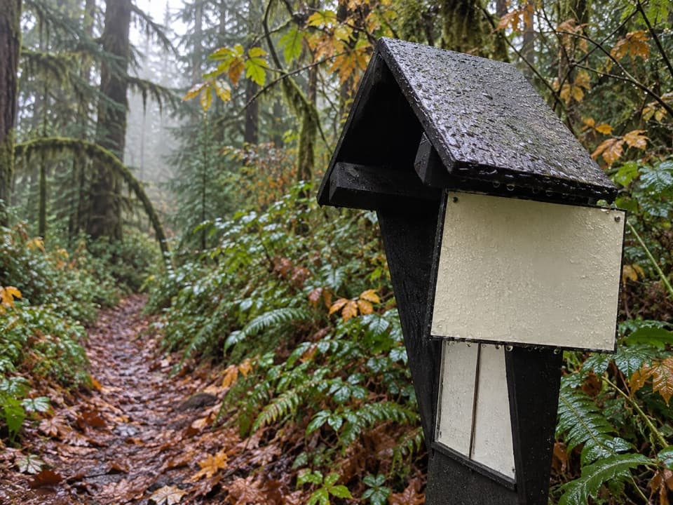 ModerateSmokey Hill Trail0.8 mi · 1.3 hr · 1.9 mi awayA short, steep drop into the Elwha, with the same climb back.
 ChallengingElwha River Trail to Lake Margaret55.4 mi · 1.2 days · 2.3 mi awayLong Elwha wilderness trek to Lake Margaret with a required river ford.
 ModerateHumes Ranch and Geyser Valley Loop6 mi · 4 hr · 2.3 mi awayRiver flats, canyon forest and a 1905 homestead on one loop.
 ModerateGoblins Gate Trail3.6 mi · 2 hr · 2.3 mi awayA steep canyon spur drops to the Elwha’s narrow rocky gate.
 ModerateLillian River Trail13 mi · 8.5 hr · 2.3 mi awayA 13-mile forest hike to the quiet banks of Lillian River.
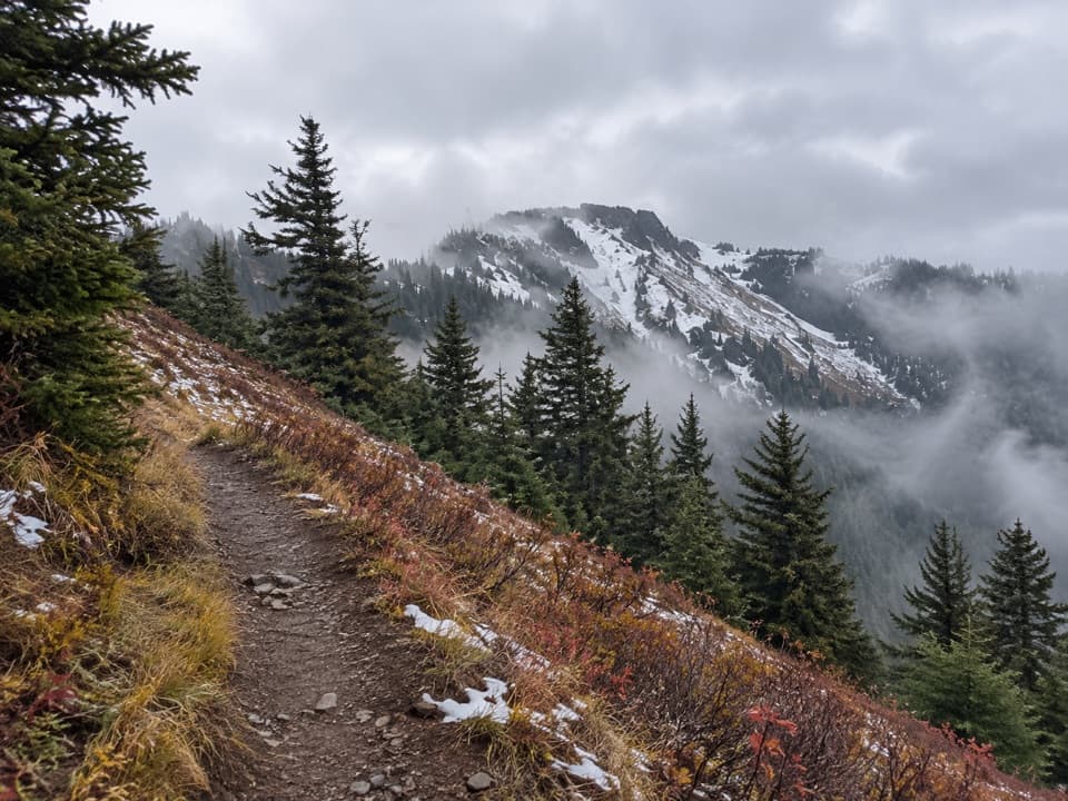 ChallengingElwha to Hurricane Hill Trail11.6 mi · 12 hr · 2.7 mi awayA hard forest climb opens into meadows with Bailey Range views.
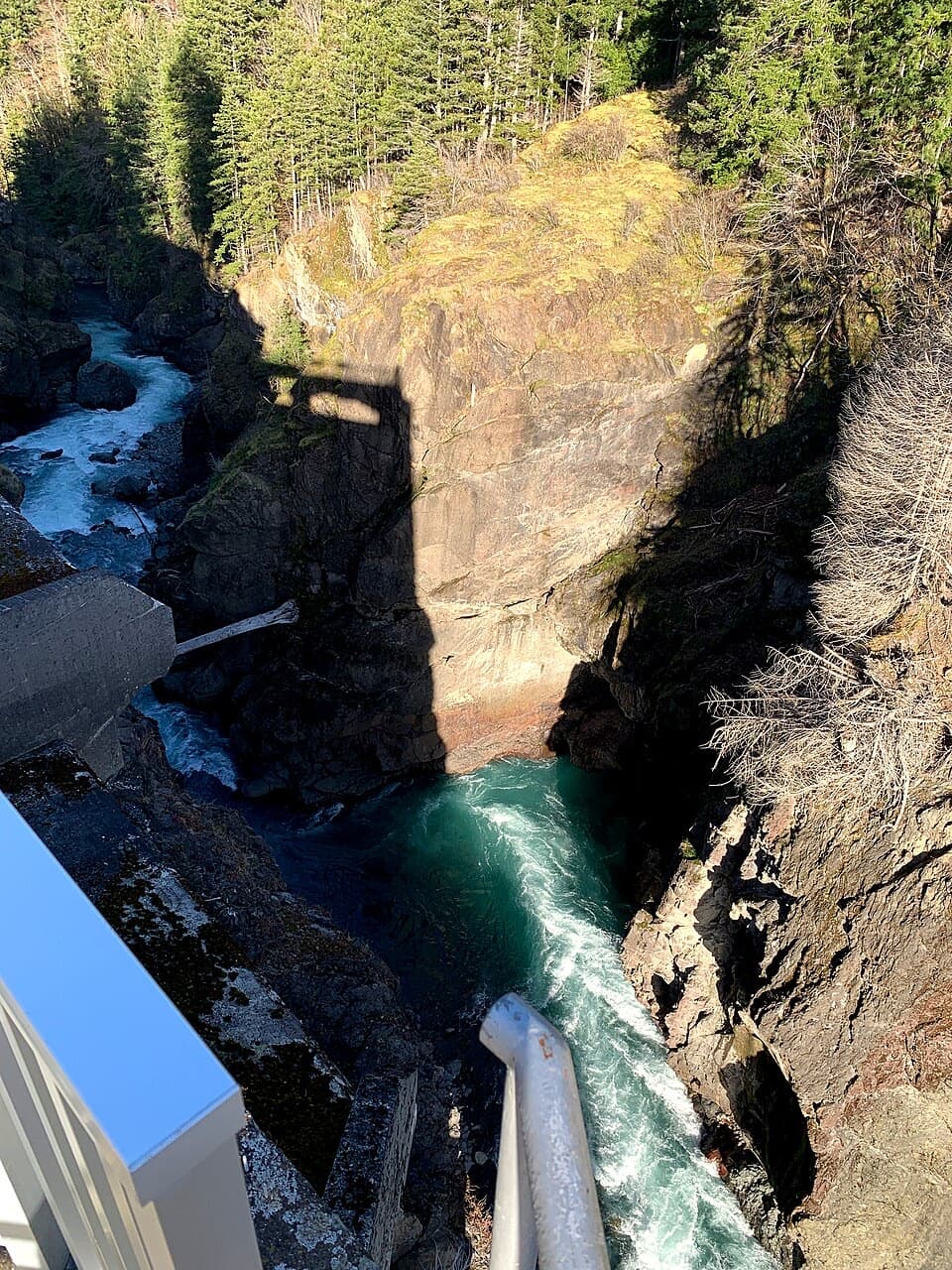 Sight · 1.8 mi awayGlines Canyon Dam OverlookThe reservoir is gone; the river now runs through its canyon.
 Sight · 2.9 mi awayOlympic Hot SpringsA long Elwha Valley walk or bike-and-hike to hot springs.
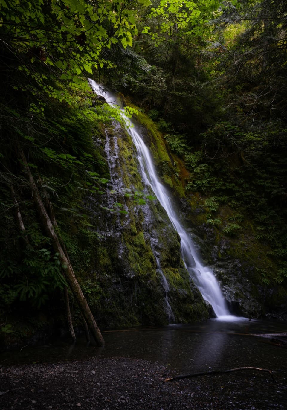 Sight · 4.4 mi awayMadison FallsA short Elwha Valley walk ends below a 60-foot waterfall.
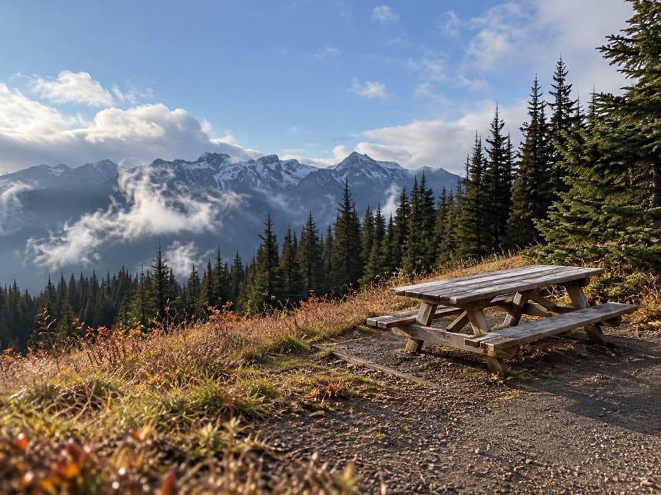 Picnic area · 5.3 mi awayHurricane Hill Picnic Areas A and BA summer picnic stop with mountain views along Hurricane Hill Road.
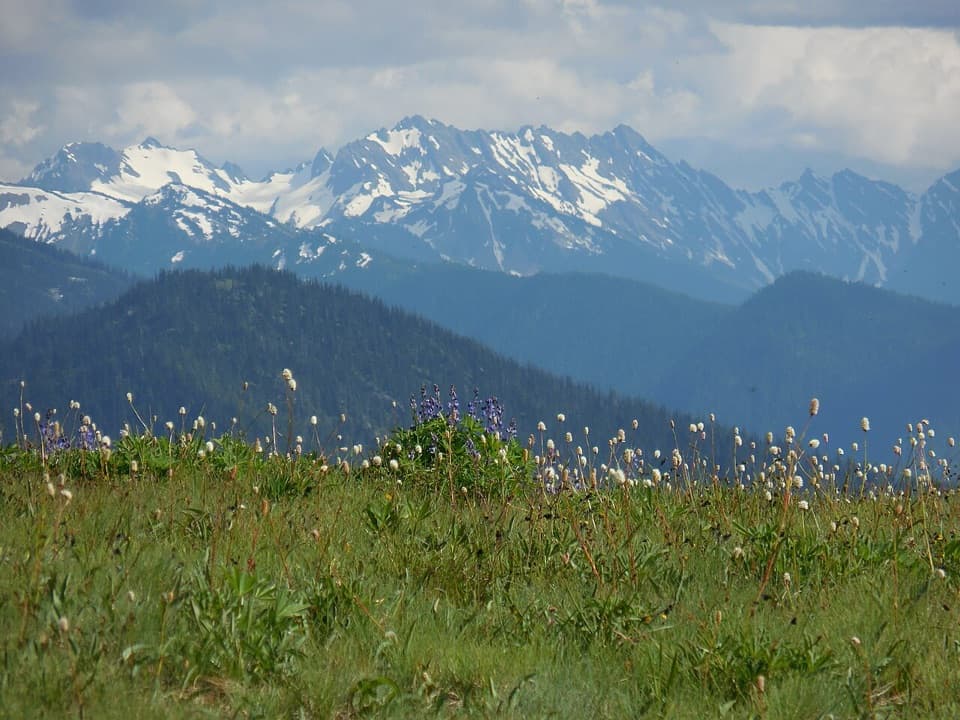 Sight · 5.9 mi awayHurricane RidgeBailey Range views from the road-end meadow.
 Sight · 6 mi awayCirque Rim OverlookA quick paved walk to broad views across the Strait.
 Sight · 8.6 mi awayElwha Dam Interpretive SiteA compact pavilion tells the story of the Elwha's dam removal.
 Sight · 8.8 mi awayMarymere FallsA mossy old-growth walk ends at a two-level waterfall view.
Parkwolf’s Olympic ranking

The audio tour guide for the drive, plus offline maps, trails, and wildlife heatmaps for when the signal drops.





