Parking
Whiskey Bend Trailhead is at the end of Whiskey Bend Road.

Olympic National Park, WA
River flats, canyon forest and a 1905 homestead on one loop.
Overview
In the early 1900s, Dok Ludden watched wind push clouds up the Elwha into vertical shapes he called geysers, and the valley took its name from them. It’s a small story that fits the place: river, wind and cloud all meeting in the open valley.
 Parkwolf’s verdictWhy it’s called Geyser Valley
Map & elevation
Plan your hike

The highest, rockiest slopes around here are a summer buffet for grizzly bears.
Olympic Tour Guide
Parkwolf is a GPS audio tour guide for Olympic National Park. As you drive, it chimes in with what’s ahead: hidden gems, upcoming stops, history, geology, and wildlife, right through your car’s speakers.
See the Olympic audio tourMore stories near here in the app
“Fantastic app with many points of information… It’s great to just turn on while you’re driving and it gives you an audio tour of the national Park. We love it!!!!”


Trail guide
Humes Ranch and Geyser Valley Loop is a moderate circuit from Whiskey Bend into the Elwha’s lowland river valley. Forest trail connects Rica Canyon, open Geyser Valley, Krause Bottom and the Humes Ranch meadow before the route returns to the trailhead. Allow about four hours. The park lists both 4.3 and 6 miles for this valley loop; this entry follows the longer, full circuit from Whiskey Bend and uses the 6-mile figure.
The route moves between shaded forest and broad river flats, with the historic cabin and meadow at Humes Ranch as a natural place to pause. The homestead was built in 1905 and later occupied by wildlife photographer Herb Crisler. There are no river crossings on the loop.
The direct walk from Whiskey Bend to Humes Ranch is about 2.5 miles each way. Turning around there makes about 5-mile out-and-back and skips part of the valley circuit.
The park rates the route moderate and describes the tread as well maintained. Pets aren’t allowed on this park trail. Treat water taken from the river or side streams. The Humes Ranch and Krause Bottom camps have no toilets; overnight stays require a wilderness permit year-round and an approved bear canister for food.
Wildlife
 710 sightingsOlympic MarmotMost seen around 11 AMSighting map
 30 sightingsHumpback WhaleMost seen around 6 PMSighting map
 42 sightingsGrey WhaleMost seen around noonSighting map
 23 sightingsMountain LionMost seen around 8 PMSighting map
 71 sightingsMountain GoatMost seen around 7 AMSighting map
 306 sightingsBald EagleMost seen around 11 AMSighting map
Sighting maps show where each species has been reported across Olympic. Wildlife moves, so no sighting is guaranteed.
Keep exploring
 ChallengingElwha River Trail to Lake Margaret55.4 mi · 1.2 days · At the trailheadLong Elwha wilderness trek to Lake Margaret with a required river ford.
 ModerateGoblins Gate Trail3.6 mi · 2 hr · At the trailheadA steep canyon spur drops to the Elwha’s narrow rocky gate.
 ModerateLillian River Trail13 mi · 8.5 hr · At the trailheadA 13-mile forest hike to the quiet banks of Lillian River.
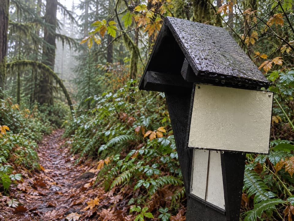 ModerateSmokey Hill Trail0.8 mi · 1.3 hr · 0.4 mi awayA short, steep drop into the Elwha, with the same climb back.
 ChallengingLong Ridge Trail to Dodger Point21 mi · 13 hr · 2.1 mi awayA demanding ridge hike finishes at a 1933 fire lookout.
 ChallengingHappy Lake Trail9.6 mi · 9 hr · 2.3 mi awayA steep ridge climb drops to a grassy alpine lakeshore.
 ChallengingHappy Lake Ridge Trail9.5 mi · 9.5 hr · 2.3 mi awayA steep ridge climb opens to alpine lakes and far-reaching views.
 ModerateSmokey Bottom Trail3.8 mi · 2.5 hr · 2.6 mi awayFollow the Elwha restoration story into the former Lake Mills valley.
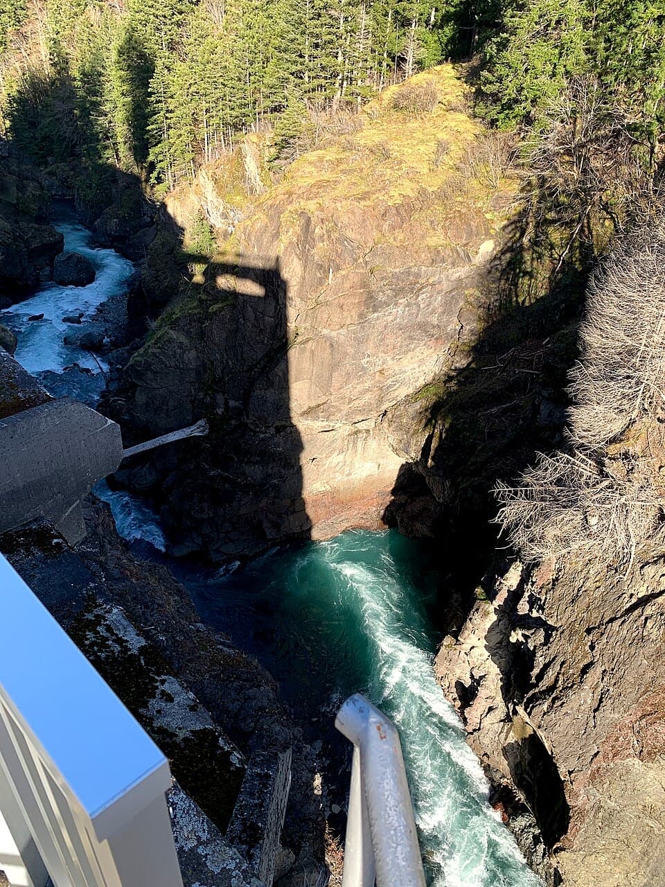 Sight · 2.5 mi awayGlines Canyon Dam OverlookThe reservoir is gone; the river now runs through its canyon.
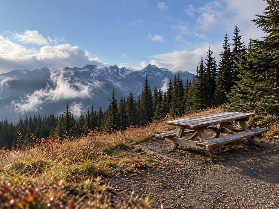 Picnic area · 3.2 mi awayHurricane Hill Picnic Areas A and BA summer picnic stop with mountain views along Hurricane Hill Road.
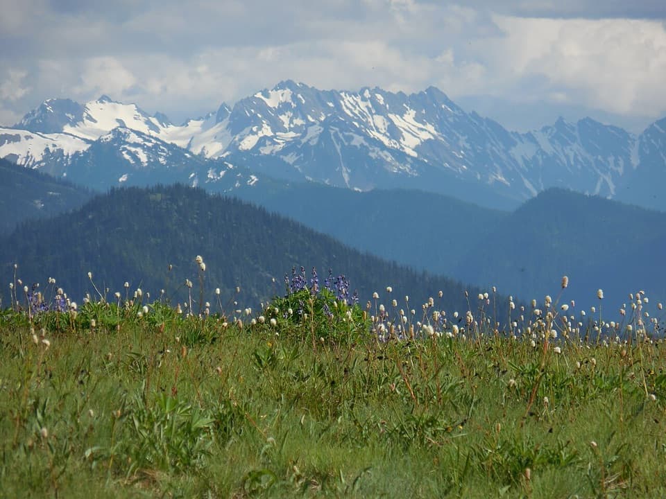 Sight · 3.9 mi awayHurricane RidgeBailey Range views from the road-end meadow.
 Sight · 3.9 mi awayCirque Rim OverlookA quick paved walk to broad views across the Strait.
 Sight · 4.9 mi awayOlympic Hot SpringsA long Elwha Valley walk or bike-and-hike to hot springs.
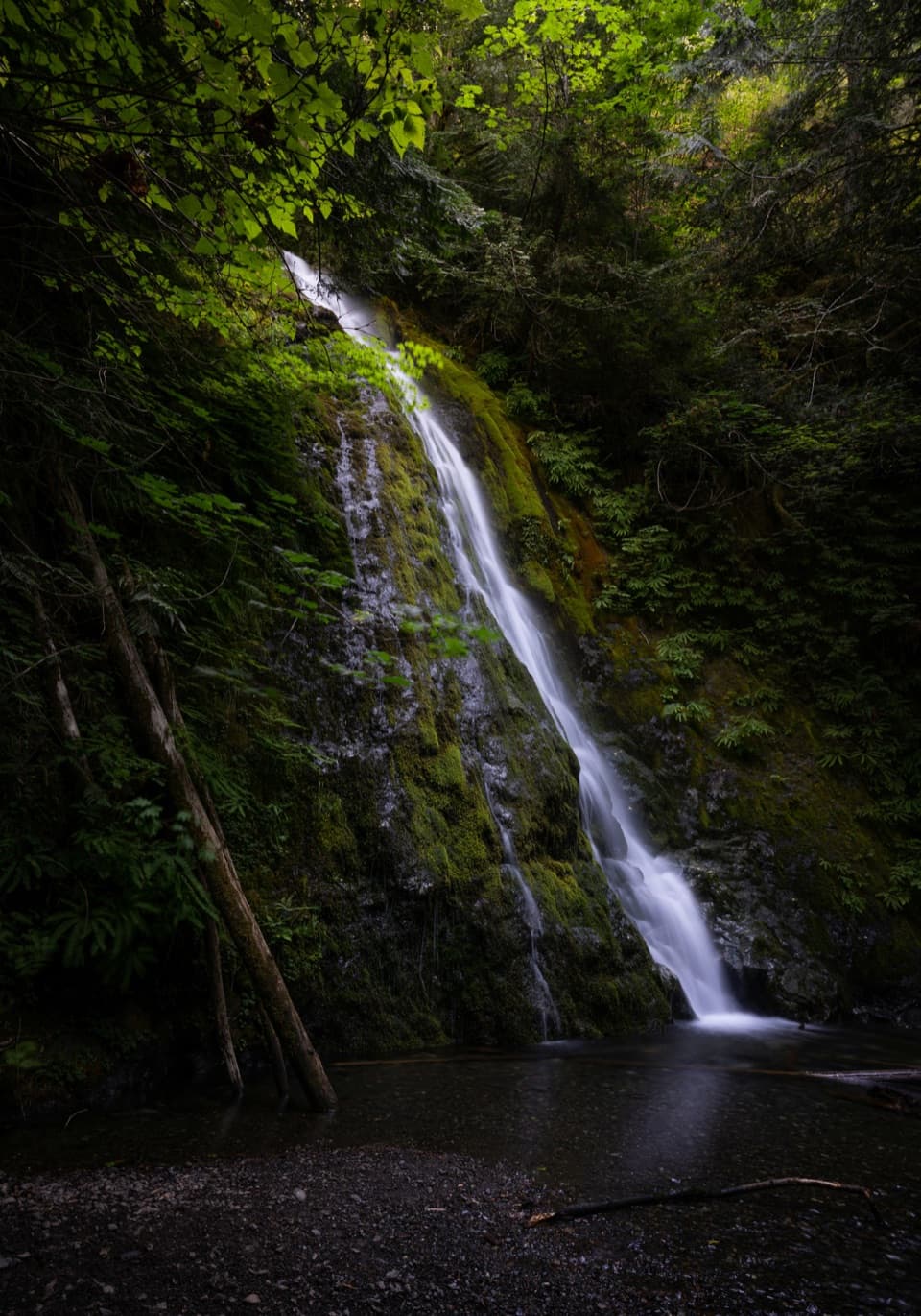 Sight · 5.2 mi awayMadison FallsA short Elwha Valley walk ends below a 60-foot waterfall.
 Campground · 8.5 mi awayHeart O' the Hills CampgroundA quiet forest base for Hurricane Ridge and a woodland walk.
 Sight · 8.5 mi awayMorse Creek OverlookA quick roadside geology stop with an ice-age lake and pillow basalt.
Parkwolf’s Olympic ranking
The audio tour guide for the drive, plus offline maps, trails, and wildlife heatmaps for when the signal drops.





