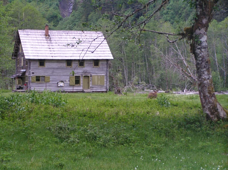
Parking
Whiskey Bend is the named trailhead for the Elwha River Trail. The Happy Hollow spur starts at a backcountry junction many miles farther up the valley; the 3.6-mile figure covers only that spur.

Olympic National Park, WA
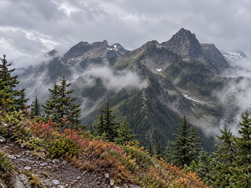
A remote shelter spur at the edge of the Bailey Range
Overview
Map & elevation
Plan your hike

The highest, rockiest slopes around here are a summer buffet for grizzly bears.
Olympic Tour Guide
Parkwolf is a GPS audio tour guide for Olympic National Park. As you drive, it chimes in with what’s ahead: hidden gems, upcoming stops, history, geology, and wildlife, right through your car’s speakers.
See the Olympic audio tour“Fantastic app with many points of information… It’s great to just turn on while you’re driving and it gives you an audio tour of the national Park. We love it!!!!”


Trail guide
Happy Hollow Trail is a 3.6-mile out-and-back spur from its junction with the Elwha River Trail, following the 1.8-mile mapped Happy Hollow line each way to the shelter area. That junction is deep in the backcountry; this distance starts there, not at a parking lot. The spur is a small part of a much longer Elwha trip, so don't mistake it for a 3.6-mile day hike.
The path leaves the Elwha River Trail and runs through forest to a separate route connection in the Elwha Basin, then you return the same way. A shelter is described at Happy Hollow before the route turns into climbing terrain. Its exact position on the mapped line and its present condition aren't confirmed, so don't count on it as overnight shelter; stop at the mapped end unless your plan specifically covers the rough continuation.
The named Elwha River Trailhead is at Whiskey Bend, many miles before the Happy Hollow junction. Treat the shelter as a backcountry destination that needs a serious approach plan, not as a roadside stop. Overnight camping in undeveloped park areas requires a wilderness permit, and pets aren't allowed on park trails. Check current road access before committing to the long approach.
Wildlife
 710 sightingsOlympic MarmotMost seen around 11 AMSighting map
 30 sightingsHumpback WhaleMost seen around 6 PMSighting map
 42 sightingsGrey WhaleMost seen around noonSighting map
 23 sightingsMountain LionMost seen around 8 PMSighting map
 71 sightingsMountain GoatMost seen around 7 AMSighting map
 306 sightingsBald EagleMost seen around 11 AMSighting map
Sighting maps show where each species has been reported across Olympic. Wildlife moves, so no sighting is guaranteed.
Keep exploring
 ModerateMartin's Park Trail4.6 mi · 4.5 hr · 1.4 mi awayA rough backcountry spur leads to lakes atop a 200-foot cliff.
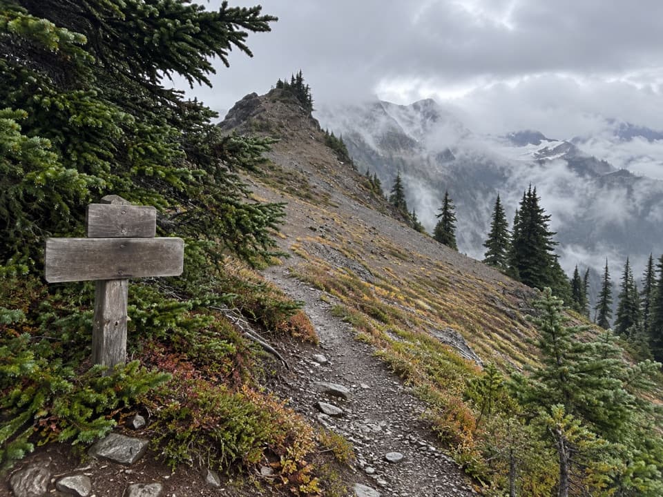 ChallengingHayden Pass Trail8.3 mi · 8 hr · 6.3 mi awayA remote 8.3-mile climb from Hayes River to Hayden Pass.
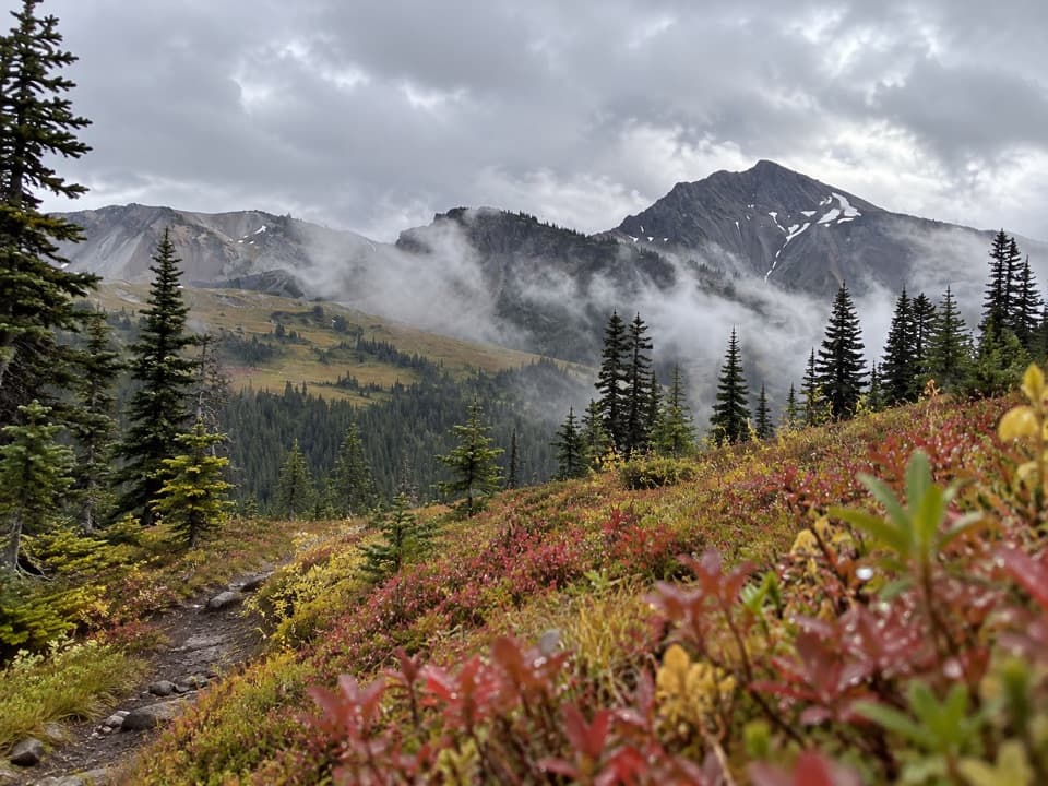 ChallengingLost Pass Primitive Trail1.6 mi · 2 hr · 9.5 mi awayA steep, primitive climb to a high-country pass.
 ChallengingAnderson Moraine Trail1.6 mi · 2 hr · 9.8 mi awayA steep alpine spur above a glacier-fed lake below Mount Anderson.
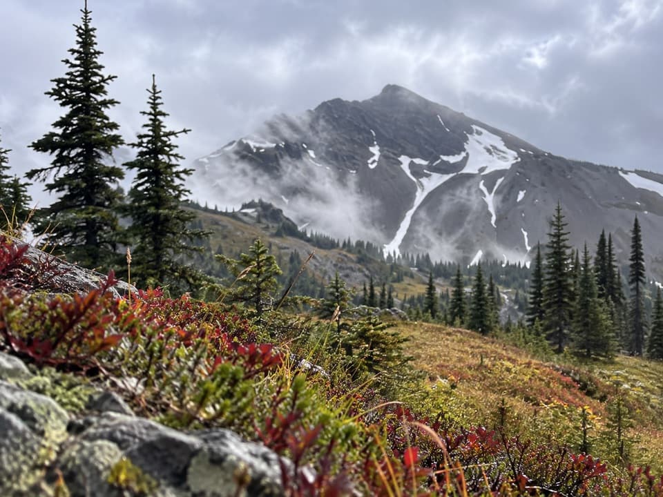 ChallengingCameron-Lost Pass Primitive Trail1.9 mi · 2.5 hr · 9.9 mi awayA rugged high-country connector between two remote passes.
 ChallengingBlue Glacier Viewpoint Trail2.3 mi · 2.5 hr · 10.1 mi awayA steep final climb to Blue Glacier’s lateral moraine.
 ChallengingLaCrosse Pass Trail6.4 mi · 5.5 hr · 10.1 mi awayA steep pass between two remote Olympic river valleys.
 ChallengingO'Neil Pass Trail12 mi · 10 hr · 11.2 mi awayO'Neil Pass links Upper Duckabush with East Fork Quinault.
Parkwolf’s Olympic ranking

The audio tour guide for the drive, plus offline maps, trails, and wildlife heatmaps for when the signal drops.