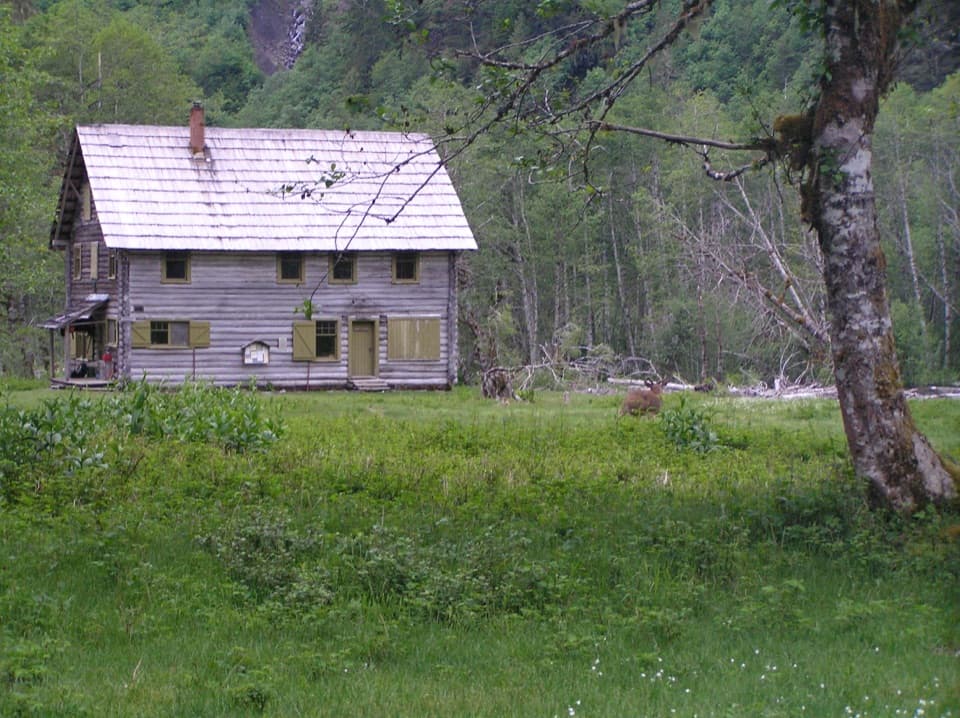
Parking
Low Divide has no road access. Reach the signed Martin’s Park junction near the south end of Lake Margaret on foot via the Elwha River or North Fork Quinault trails; the North Fork approach is about 16 miles to Low Divide.

Olympic National Park, WA
A rough backcountry spur leads to lakes atop a 200-foot cliff.
Overview
Martins Lakes sit on top of a roughly 200-foot cliff above the basin, with views toward Mount Christie and Mount Seattle. This is the kind of destination that makes the long approach worthwhile if you want a quiet, high-country overnight. For a photo, frame the water with the ridge behind it; a tight mountain shot misses the unusual perch of the lakes.
 Parkwolf’s verdictThe lakes are the payoff
Map & elevation
Plan your hike

The highest, rockiest slopes around here are a summer buffet for grizzly bears.
Olympic Tour Guide
Parkwolf is a GPS audio tour guide for Olympic National Park. As you drive, it chimes in with what’s ahead: hidden gems, upcoming stops, history, geology, and wildlife, right through your car’s speakers.
See the Olympic audio tour“Fantastic app with many points of information… It’s great to just turn on while you’re driving and it gives you an audio tour of the national Park. We love it!!!!”


Trail guide
Martin's Park Trail is a primitive out-and-back from a signed junction near Lake Margaret at Low Divide to Martins Lakes. Plan on 4.6 miles round trip (about 2.3 miles each way) and allow around 4 to 5 hours for the spur itself. Low Divide has no road access, so this is not a day hike from a car: from the North Fork Quinault trailhead, the approach to Low Divide is about 16 miles one way. The Elwha River trail system is another backcountry approach.
The route climbs through subalpine forest and meadows on primitive tread. Hikers have described boggy stretches, a rocky scramble, a creek ford and a steep, brushy finish. At the crossing, look for the ford rather than forcing a climb up the rocks on the right bank if the tread disappears. Conditions can change with snow, weather and trail work; higher sections may be snow-covered in any season, and map-and-compass skills may be needed.
The usual season is early July through October, but snow can cover the upper trail at any time. There is no toilet at the lakes, and stream or lake water needs treatment. If you camp, check the park's wilderness permit requirements and carry a bear canister. Campfires are prohibited above 3,500 feet, stock are not allowed, and pets are prohibited in the park wilderness.
Wildlife
 710 sightingsOlympic MarmotMost seen around 11 AMSighting map
 30 sightingsHumpback WhaleMost seen around 6 PMSighting map
 42 sightingsGrey WhaleMost seen around noonSighting map
 23 sightingsMountain LionMost seen around 8 PMSighting map
 71 sightingsMountain GoatMost seen around 7 AMSighting map
 306 sightingsBald EagleMost seen around 11 AMSighting map
Sighting maps show where each species has been reported across Olympic. Wildlife moves, so no sighting is guaranteed.
Keep exploring
 ModerateHappy Hollow Trail3.6 mi · 2.5 hr · 1.4 mi awayA remote shelter spur at the edge of the Bailey Range
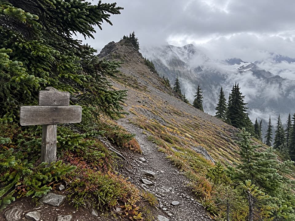 ChallengingHayden Pass Trail8.3 mi · 8 hr · 7.7 mi awayA remote 8.3-mile climb from Hayes River to Hayden Pass.
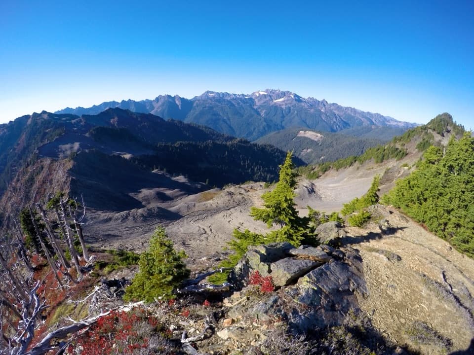 ChallengingSkyline Ridge Primitive Trail20.1 mi · 20 hr · 10 mi awayA rugged ridge traverse past Kimta Peak through remote high country.
 ChallengingBlue Glacier Viewpoint Trail2.3 mi · 2.5 hr · 10 mi awayA steep final climb to Blue Glacier’s lateral moraine.
 ChallengingGraves Creek Trail to Lake Sundown14.6 mi · 13.5 hr · 10.3 mi awayA rugged climb from Graves Creek forest to a remote alpine lake
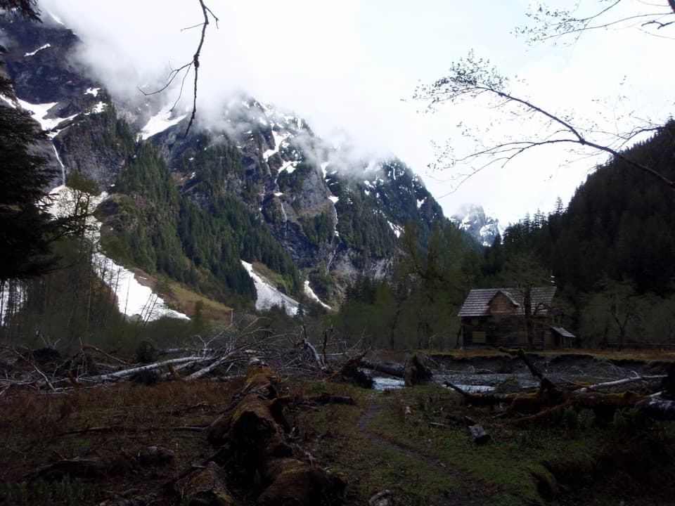 ChallengingEast Fork Quinault River Trail to Enchanted Valley26 mi · 16 hr · 10.4 mi awayA multi-day rainforest trek ends at a chalet beneath steep valley walls.
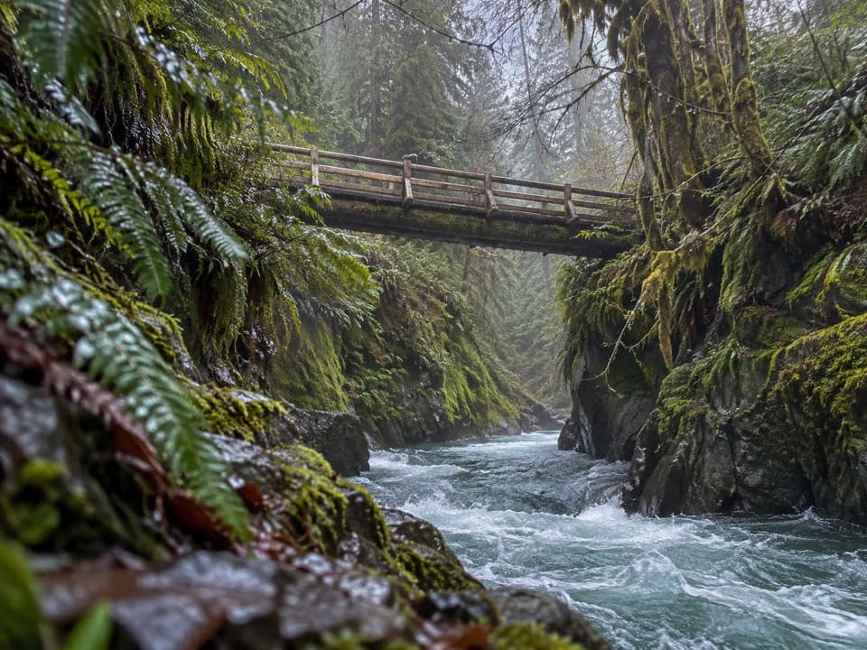 ModeratePony Bridge Trail5 mi · 3 hr · 10.4 mi awayA forested gorge with a steep approach and timber bridge.
 EasyCascading Terraces Trail0.5 mi · 30 min · 10.6 mi awayA short rainforest walk to a Quinault River meadow.
Parkwolf’s Olympic ranking
The audio tour guide for the drive, plus offline maps, trails, and wildlife heatmaps for when the signal drops.