Obstruction Point to Deer Park Trail in Olympic National Park

#14 of 148 trails in Olympic

Olympic National Park, WA

Obstruction Point to Deer Park Trail

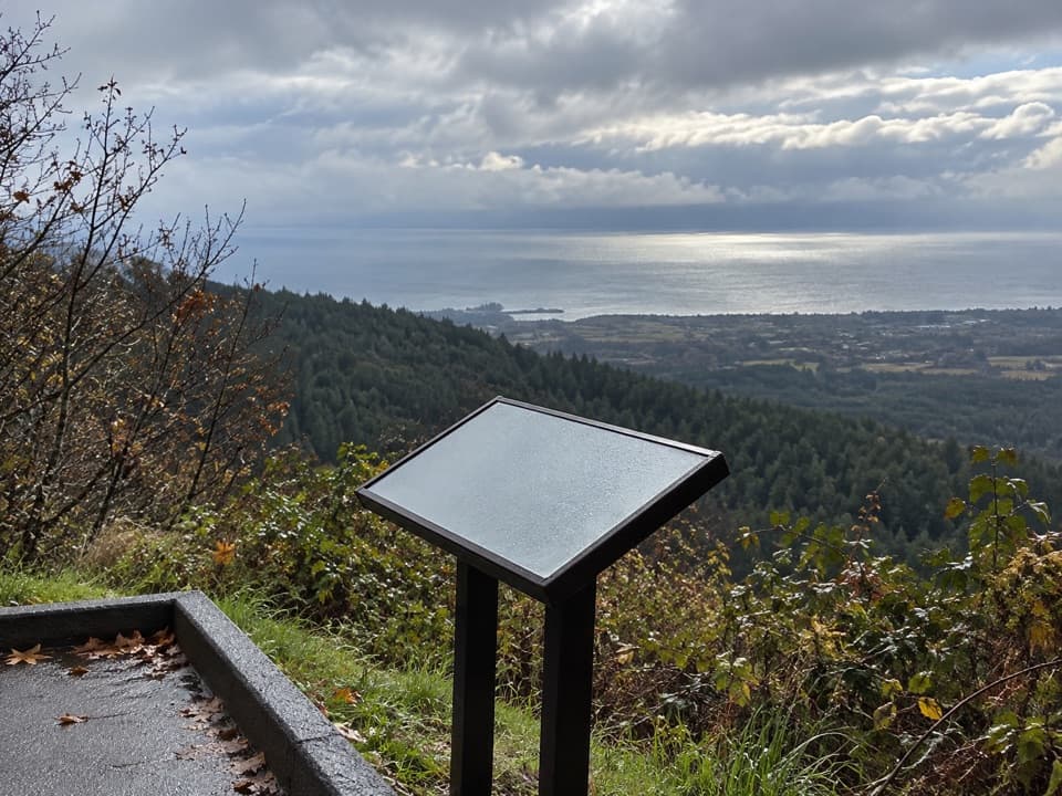
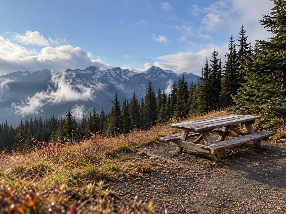
A high ridge crossing opens views across the Strait and Olympic range.

Photo: Wikimedia Commons
Length
7.4mi
Time
4.5hr
Elev. change
1,913ft
Difficulty
Moderate
  • No dogs
  • High point 6,706 ft

Hear the audio tour

Obstruction Point: Stay High on Lillian Ridge

Overview

About Obstruction Point to Deer Park Trail

Why go

  • Open ridgeline views toward the Strait and Olympic peaks
  • A varied traverse through meadow, forest and high ridge

Heads up

  • Point-to-point pickup logistics
  • No water along the route and brief exposed scree sections

Map & elevation

The route

Loading the Olympic map
Full map
Elevation4,793–6,706 ft
TrailheadObstruction Point Trailhead47.91848, -123.38194
Keep this map with you offline in the Parkwolf app

Plan your hike

Before you go

Parking

Begin at Obstruction Point Trailhead off Hurricane Ridge Road. Leave a second car or arrange a pickup at Deer Park; its access road is narrow and steep, with a gravel final nine miles and a seasonal snow closure. Trailers are not recommended on either access road.

Safety

There is no water or toilet on the route. Short exposed scree sections near Maiden Peak sit beside a steep slope. Snow can obscure the upper trail in any season; the snow-covered slope above Badger Valley requires ice-axe and self-arrest skills. Pets and bicycles are prohibited on park trails.

6 active Olympic alerts

  • InfoNo potable water at Hurricane RidgeMentions Hurricane Ridge, referenced in this guideNo potable water is available at Hurricane Ridge; bring your own drinking water.Official details
  • CautionUS 101 Hoh River Bridge reduced to one laneUS 101 at the Hoh River Bridge is restricted to one lane of alternating traffic; obey the signals and 25 mph speed limit.Official details
See all 6 alerts
A park ranger sits on a dash-mounted phone, talking, as Parkwolf’s Tour Guide plays “Army Cutworm Moths: A Grizzly Bear Buffet” on Grand Loop Road below Dunraven Pass in Yellowstone
Parkwolf Tour GuideThe highest, rockiest slopes around here are a summer buffet for grizzly bears.

Olympic Tour Guide

Your drive to Obstruction Point to Deer Park Trail, narrated.

Parkwolf is a GPS audio tour guide for Olympic National Park. As you drive, it chimes in with what’s ahead: hidden gems, upcoming stops, history, geology, and wildlife, right through your car’s speakers.

See the Olympic audio tour

Recorded for this trailhead

Obstruction Point: Stay High on Lillian Ridge
0:00 / 0:24
“Obstruction Point trailhead is coming up, with open mountain views along Lillian Ridge.”

Plays as you drive up to this trailhead in the Parkwolf Olympic Tour Guide.

More stories near here in the app

  • The Lily at the Snow’s Edge
  • Seabed in the Mountains
  • Trees That Grow Sideways
  • Morse Creek Overlook: The Vanished Lake
  • 204 audio storiesacross Olympic’s roads, triggered by GPS as you drive
  • Wildlife heatmapsfor Olympic Marmot, Humpback Whale, Grey Whale, and 13 more
  • Works offlinemaps, 148 trails, 94 places, and audio download before you lose signal
  • CarPlay readysimple controls built for the drive
★★★★★
“Fantastic app with many points of information… It’s great to just turn on while you’re driving and it gives you an audio tour of the national Park. We love it!!!!”
JMJamesApp Store review
Download Parkwolf on the App StoreGet Parkwolf on Google Play

4.7 from 8,600+ ratings

Trail guide

Hiking Obstruction Point to Deer Park Trail

A ridge crossing between two trailheadsThe Obstruction Point to Deer Park Trail is a 7.

The Obstruction Point to Deer Park Trail is a 7.4-mile one-way traverse across Olympic’s high country, linking Obstruction Point with Deer Park through alpine meadow and subalpine forest. It is a full point-to-point day hike, not a loop: plan a pickup or leave a second car at the other end. The route climbs and drops along the ridge, with about 2,423 feet of total gain even though Obstruction Point starts higher than Deer Park. Allow about four to five hours on foot; walking back to your car adds another 7.4 miles.

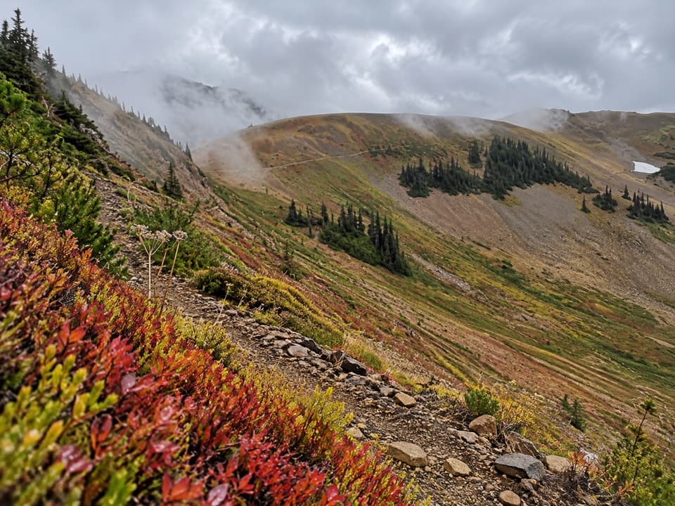
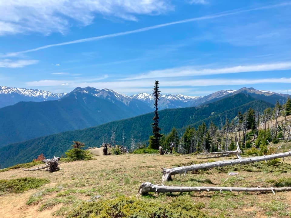
From Obstruction Point across Grand RidgeStarting west at Obstruction Point, the route follows open high ground along Grand Ridge.

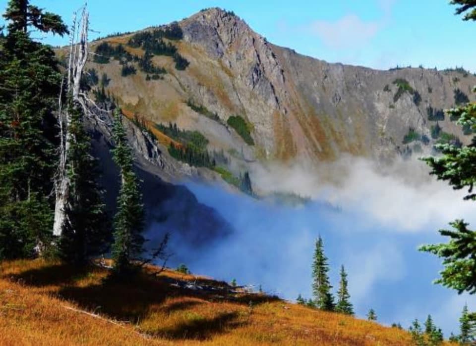
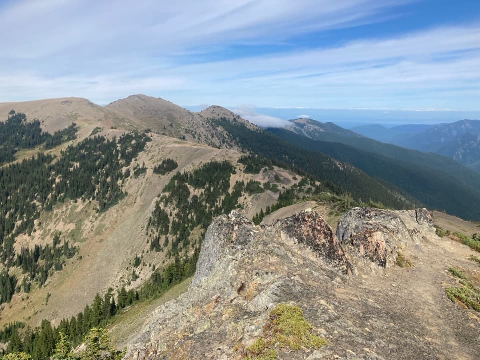
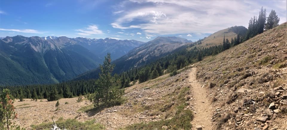
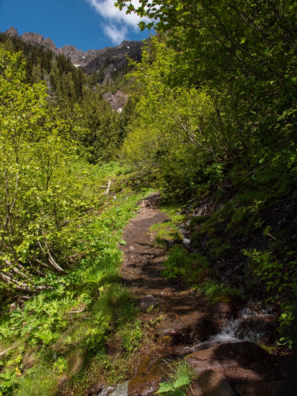
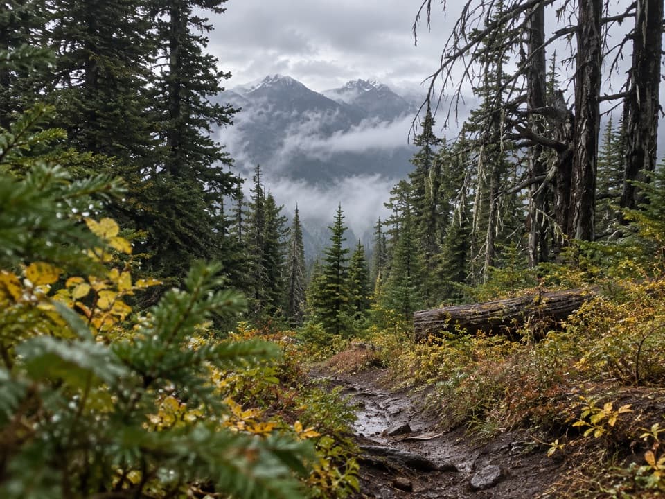
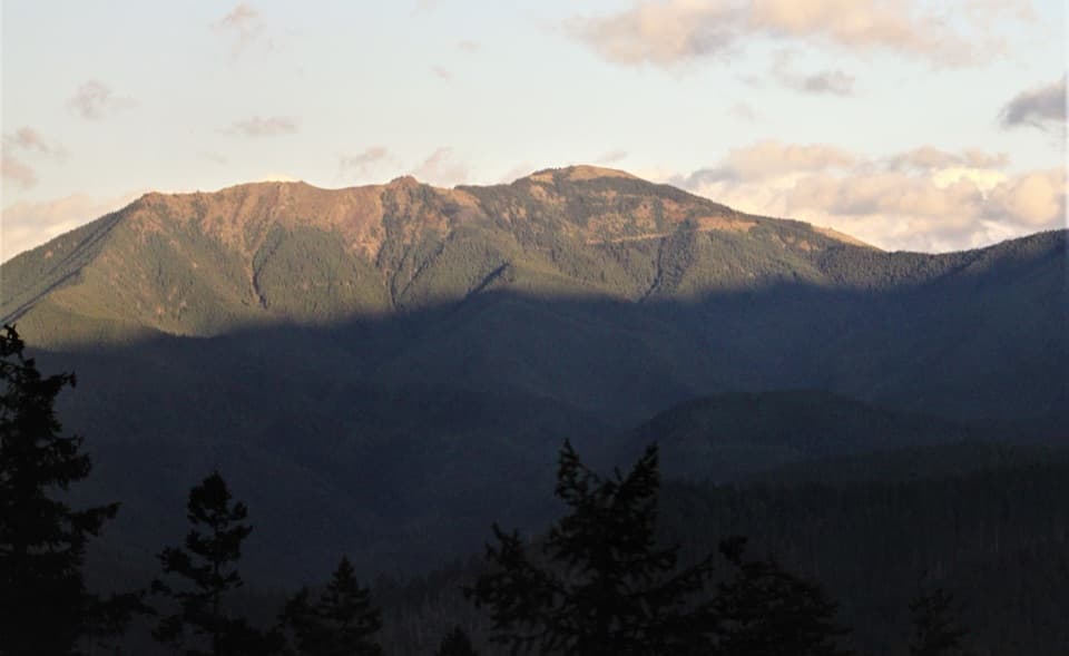
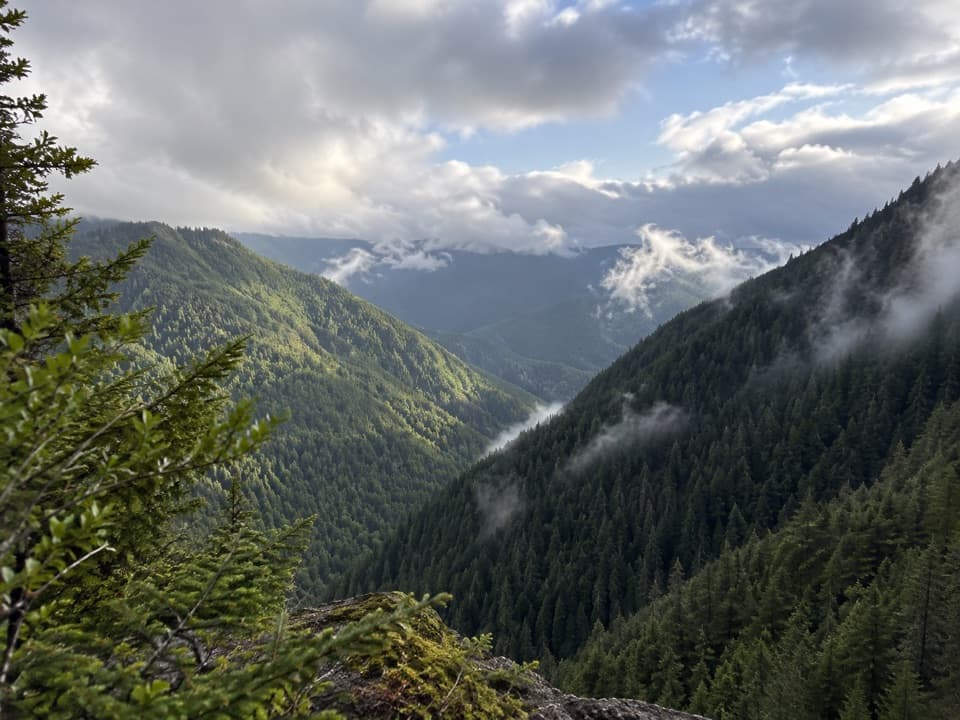
Starting west at Obstruction Point, the route follows open high ground along Grand Ridge. This stretch is comparatively gentle, with a long look toward Mount Olympus and the switchbacks descending into Badger Valley. Farther east, the trail rolls through subalpine forest and open meadows toward Maiden Peak. Its route is maintained, but the landscape is exposed and the trail can be hard to follow when snow covers it.

Around Maiden PeakThe meadows near Maiden Peak open toward the Strait of Juan de Fuca and Victoria across the…

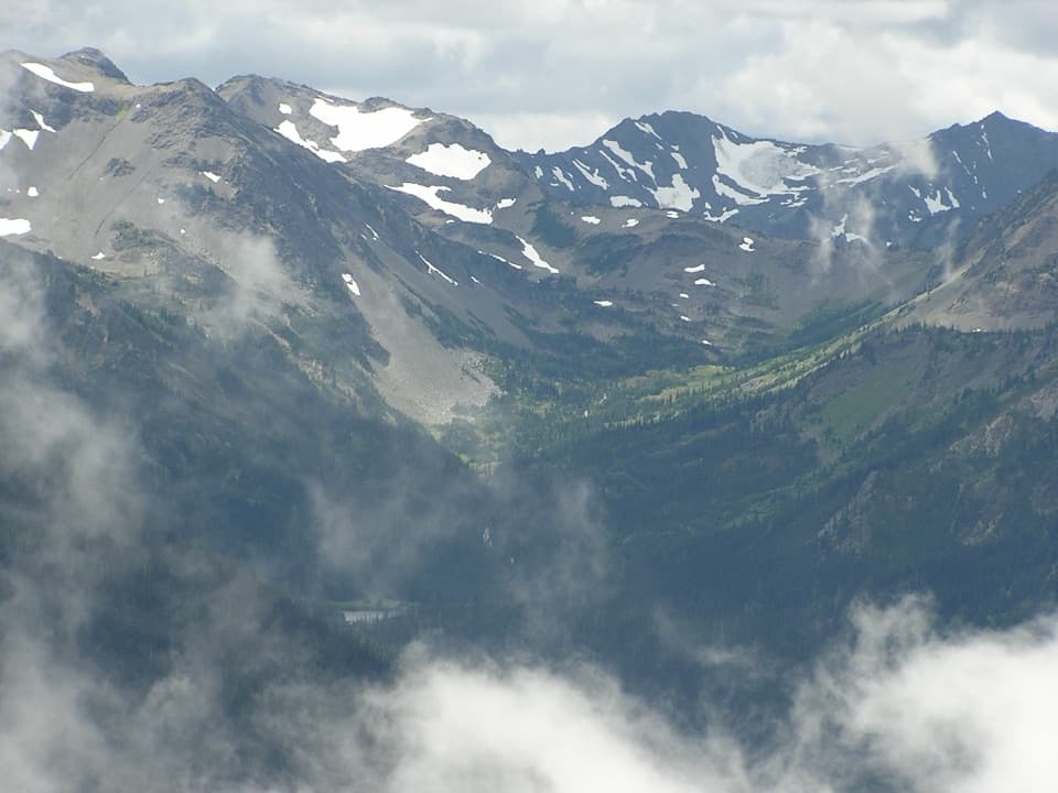
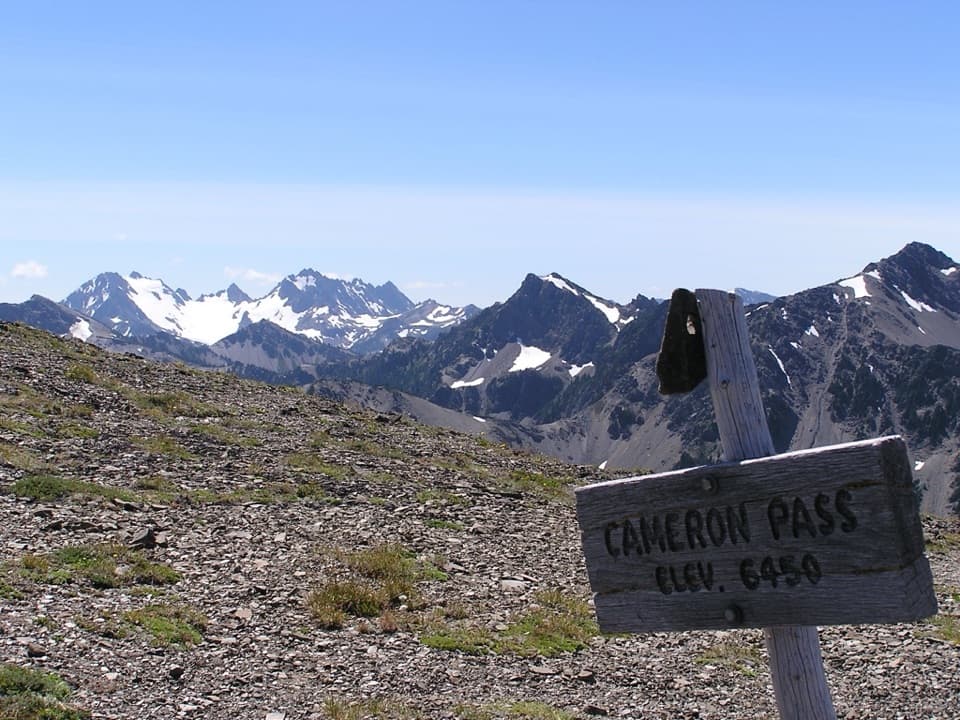
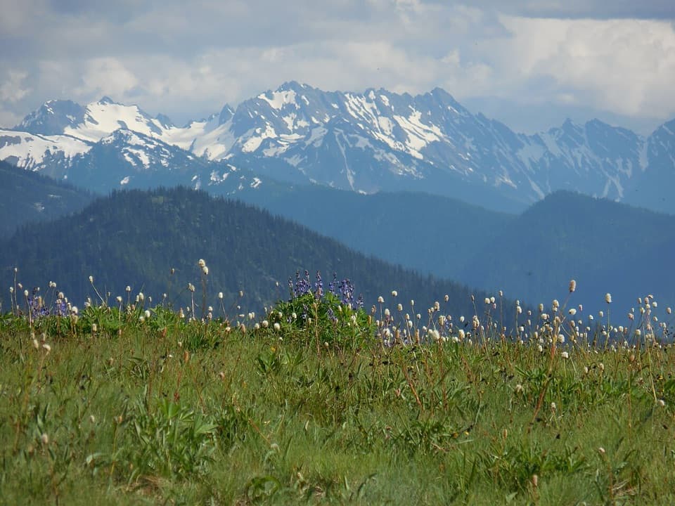
The meadows near Maiden Peak open toward the Strait of Juan de Fuca and Victoria across the Strait to the north, with the Olympic range spread to the south. Short sections pass beside steep scree slopes. They are brief, but the drop is close enough to feel uncomfortable, especially when traveling downhill toward Deer Park. A clear view and the trail in the foreground make a good composition here; stay on the established tread.

An eastern Olympic landscapeThe eastern Olympics sit in a rain shadow: Pacific storms lose much of their moisture crossing…

The eastern Olympics sit in a rain shadow: Pacific storms lose much of their moisture crossing the high range, so these slopes feel markedly drier than the west-side rain forest. Ice-age glaciers carved the valleys, while some high peaks remained ice-free and became refuges for plants and wildlife. Olympic bellflower is endemic to the range; Olympic marmots, once common around Deer Park, are now rarely seen here.

Make the crossing workThere is no water or toilet along the traverse.

There is no water or toilet along the traverse. After the snowmelt fades, usually around late August, there may be no water source at all. Snow can cover upper sections in any season; map-and-compass skills may be needed, and the snow-covered slope above Badger Valley calls for an ice axe and self-arrest skills. Pets and bicycles are not permitted on park trails. Overnight hikers need a wilderness permit and may camp only at Roaring Winds; bear canisters are required and campfires are prohibited. From Deer Park, shorter out-and-back options reach Maiden Peak (3.5 miles each way) or Elk Mountain (5.5 miles each way). Deer Park Campground has pit toilets but no potable water. Its access road is narrow and steep, with nine gravel miles, and closes seasonally while snow remains.

Wildlife

Wildlife in Olympic

All Olympic wildlife maps

Sighting maps show where each species has been reported across Olympic. Wildlife moves, so no sighting is guaranteed.

Keep exploring

Near Obstruction Point to Deer Park Trail

See it all on the map

Trails that start nearby

Places near the trailhead

Parkwolf’s Olympic ranking

Top-rated trails in Olympic

All 148 trails
  1. 1Hall of Mosses TrailEasy · 0.8 mi
  2. 2Hurricane Hill TrailModerate · 3.3 mi
  3. 3Sol Duc Falls Nature TrailEasy · 1.6 mi
  4. 4High Divide Loop (Seven Lakes Basin)Challenging · 19 mi
  5. 5Hoh River TrailChallenging · 34.8 mi
  6. 6Shi Shi Beach and Point of Arches TrailModerate · 8 mi

Take Parkwolf to Olympic.

The audio tour guide for the drive, plus offline maps, trails, and wildlife heatmaps for when the signal drops.

4.7 from 8,600+ ratings

Download Parkwolf on the App StoreGet Parkwolf on Google Play