
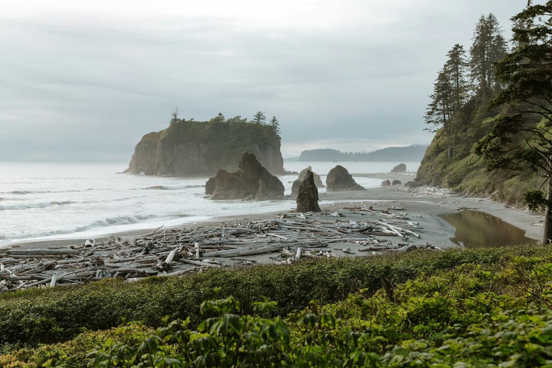
All Olympic trails
148 trails
 1Hall of Mosses TrailA moss-draped maple arch and a creek bridge in a short loop.
 2Hurricane Hill TrailPaved switchbacks to Bailey Range peaks and the Strait.
 3Sol Duc Falls Nature TrailOld-growth shade ends at a bridge over a roaring canyon.
 4High Divide Loop (Seven Lakes Basin)A long ridge loop over a basin of eight alpine lakes.
 5Hoh River TrailRainforest for miles, then a steep climb to Glacier Meadows.
 6Shi Shi Beach and Point of Arches TrailA muddy, steep descent opens onto tide pools and sea stacks.
 7Rialto Beach to Hole-in-the-Wall TrailA low-tide walk to tidepools, sea stacks and a rock arch
 8Marymere Falls TrailOld-growth forest leads to close views of a 90-foot waterfall
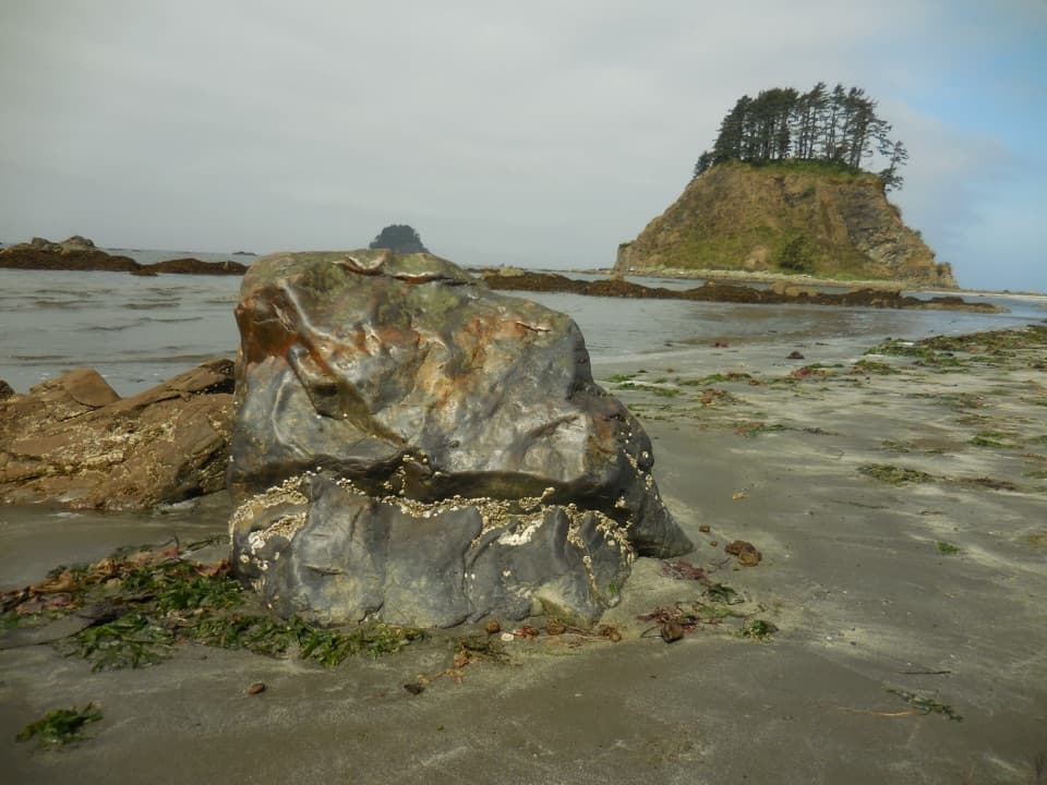 9Ozette LoopBoardwalks, tide pools, and a rugged coast on one full loop.
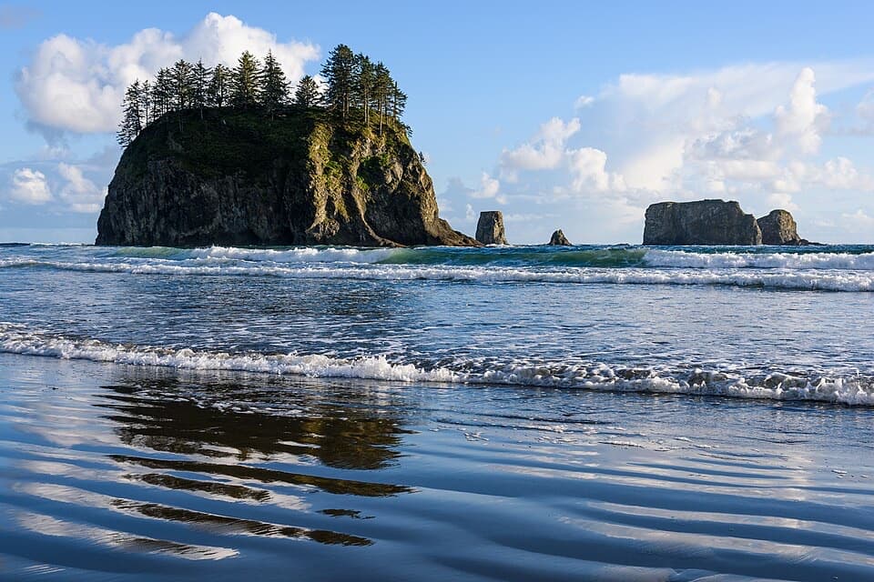 10Second Beach TrailA rooty forest trail drops to tide pools beneath sea stacks.
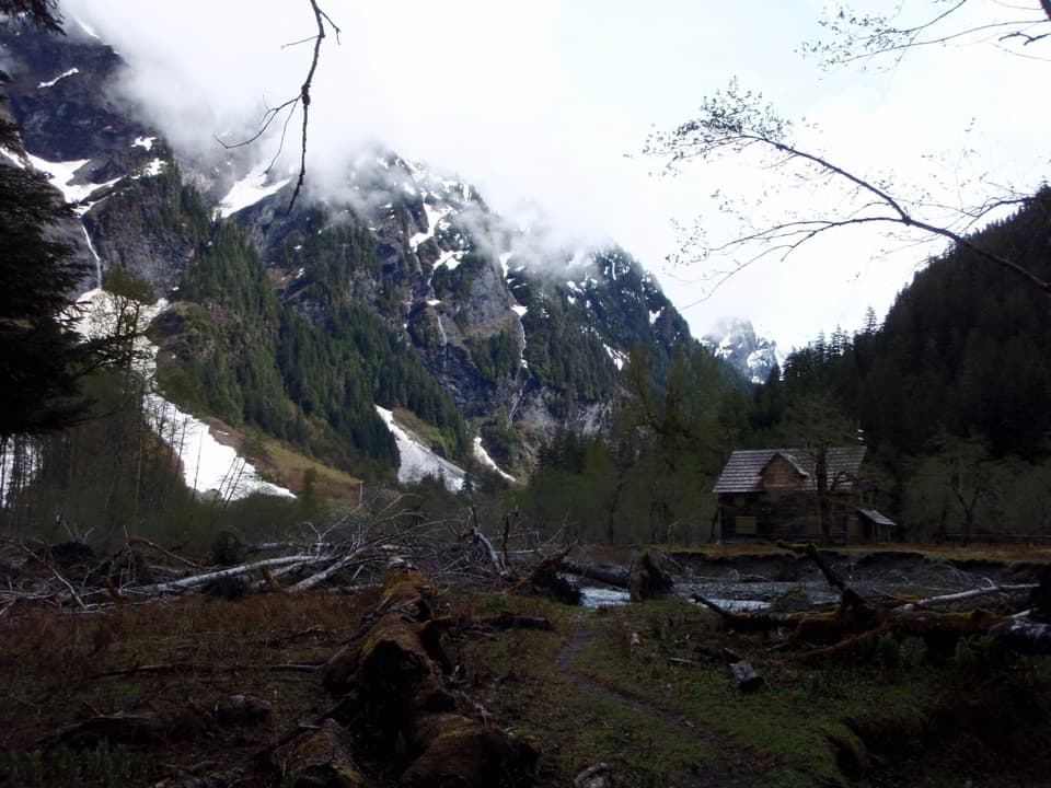 11East Fork Quinault River Trail to Enchanted ValleyA multi-day rainforest trek ends at a chalet beneath steep valley walls.
 12Klahhane Ridge TrailA long ridgeline approach saves its steepest climb for the end.
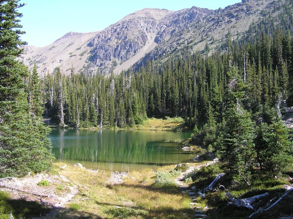 13Royal Basin TrailMake the long climb for a lake, Shelter Rock, and alpine tarns.
 14Obstruction Point to Deer Park TrailA high ridge crossing opens views across the Strait and Olympic range.
 15Cape Alava TrailBoardwalk, prairie, and rocky Pacific shore on a long out-and-back.
 16Spruce Nature TrailA short Hoh loop for nurse logs and river views.
 17Sand Point TrailA mostly boardwalk walk to a wide Pacific beach.
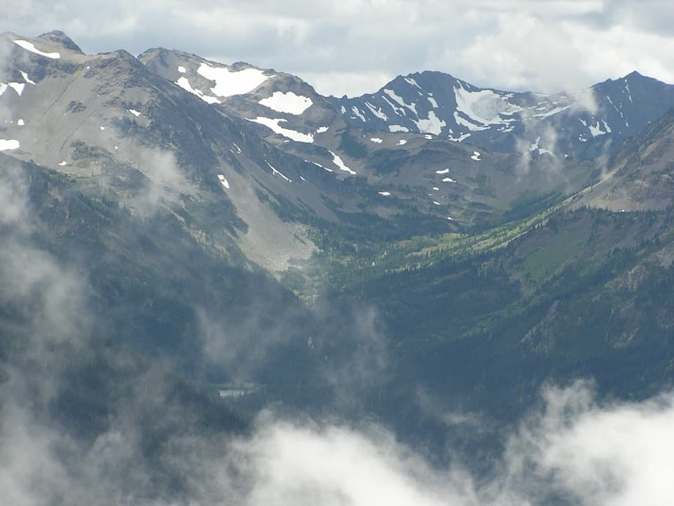 18Grand Valley via Grand Pass TrailThree lakes, an alpine ridge, and a long climb to Grand Pass.
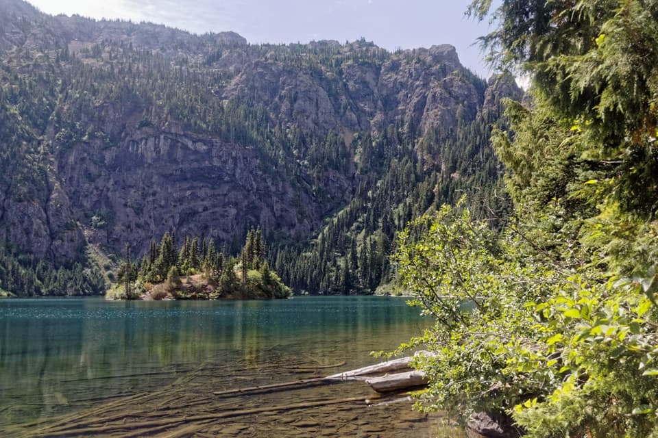 19Lake Angeles TrailA steep forest climb to an alpine lake with a central island.
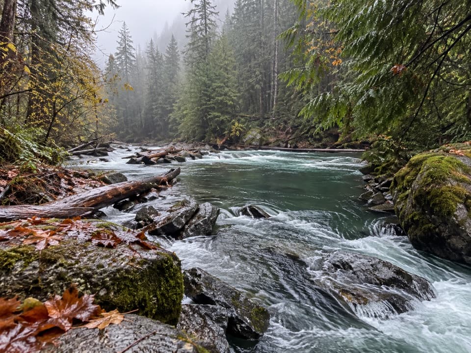 20Staircase Rapids Loop TrailA shady loop to river rapids and an enormous fallen cedar.
 21Mount Storm King TrailSteep switchbacks end at a tree-framed Lake Crescent view.
 22Flapjack Lakes TrailA long forest climb ends at twin lakes below the Sawtooths.
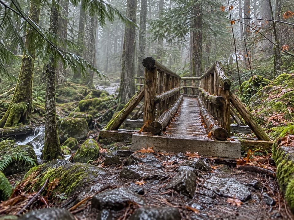 23Upper Lena Lake TrailA long climb pays off at a green lake under alpine peaks.
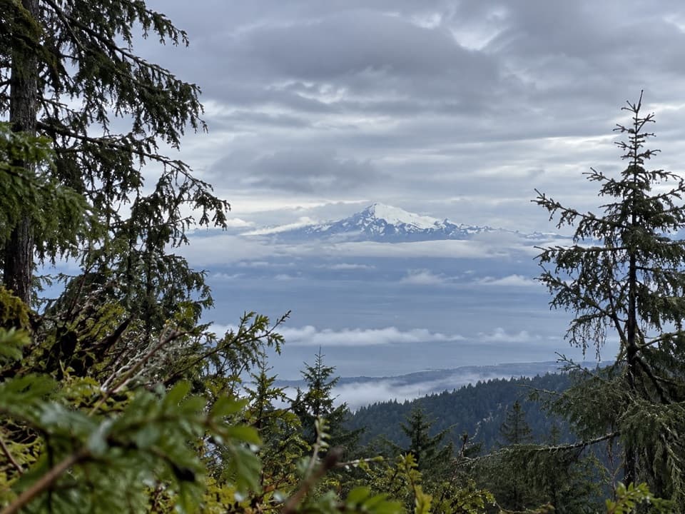 24Heather Park TrailFive miles uphill to wildflower meadows; nearly 4,000 feet of climb.
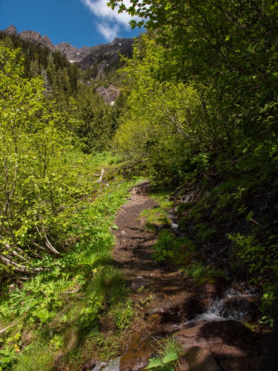 25Switchback TrailA steep, direct climb to wildflower meadows and Klahhane Ridge.
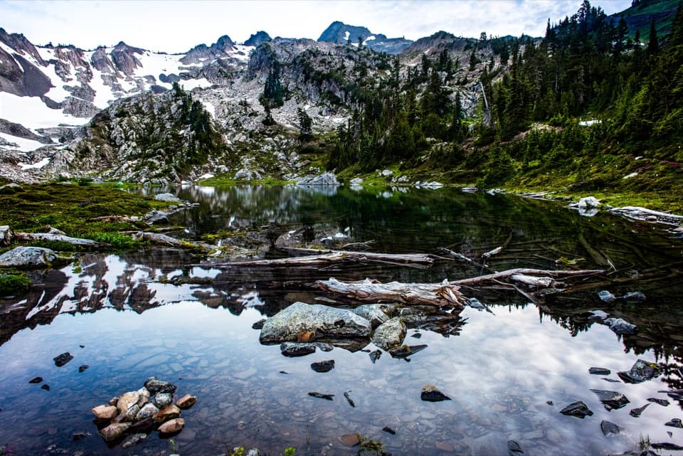 26Putvin Trail to Lake of the AngelsA steep climb and headwall scramble lead to a true alpine lake.27Lover’s Lane Loop TrailA shaded river loop ends at a waterfall in old growth.
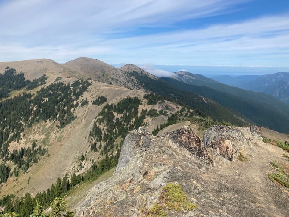 28Elk Mountain TrailEleven ridge miles lead to Elk Mountain and views over the Strait.
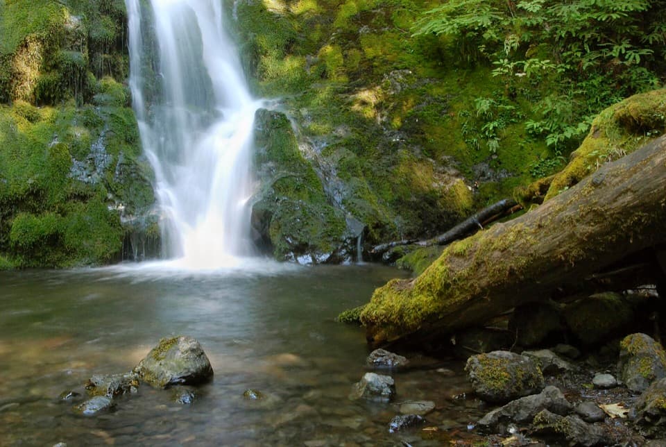 29Madison Falls TrailA gentle paved walk ends at a 60-foot waterfall.
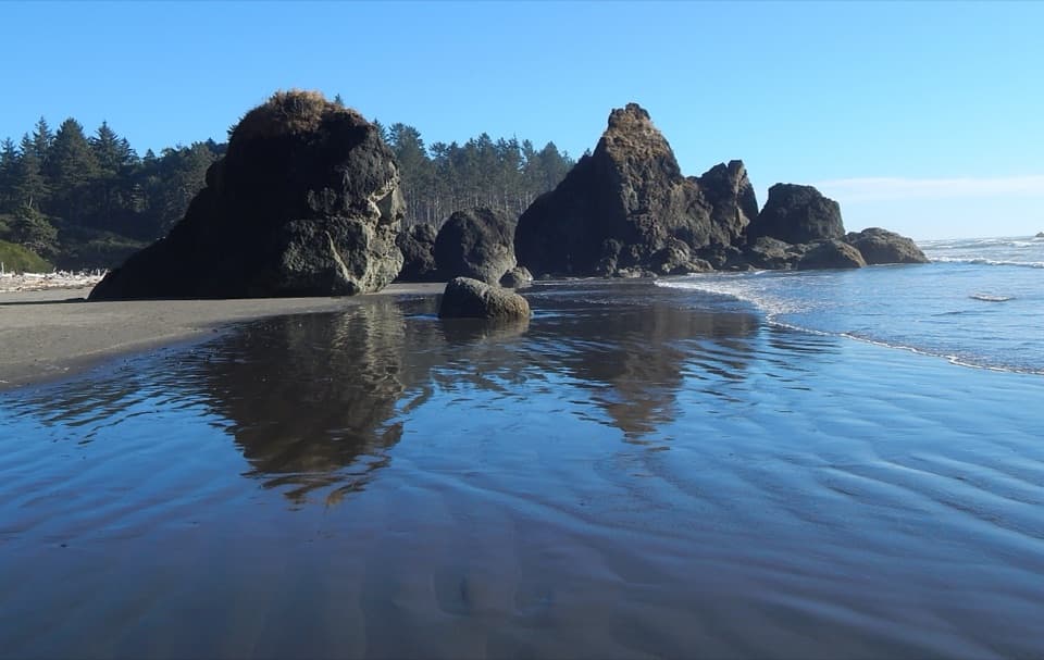 30Ruby Beach TrailA short bluff descent to tide pools and sea stacks.
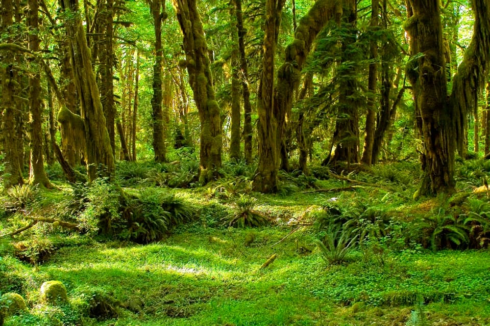 31Maple Glade Rain Forest TrailMoss-draped maples and nurse logs in a gentle half-mile loop.
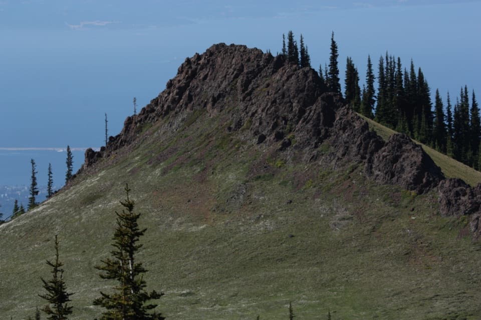 32Rain Shadow LoopA short summit climb for Blue Mountain’s wide-open views.
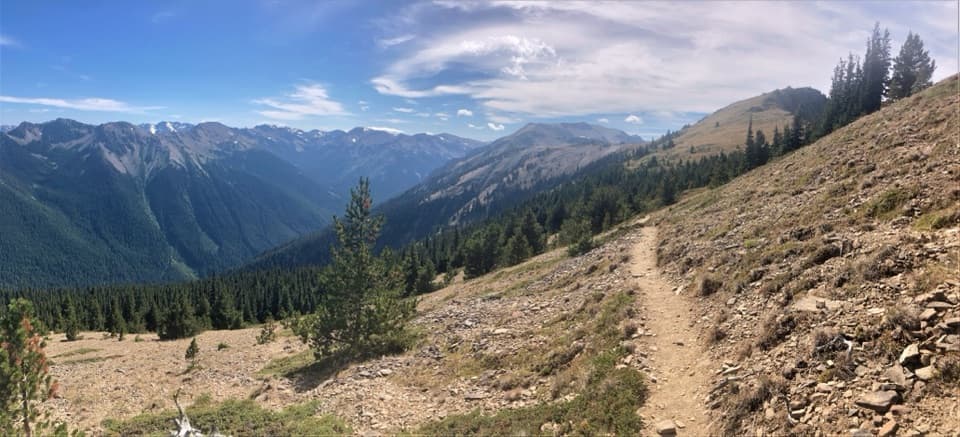 33Maiden Peak TrailA steep climb trades forest shade for open slopes and rocky views.
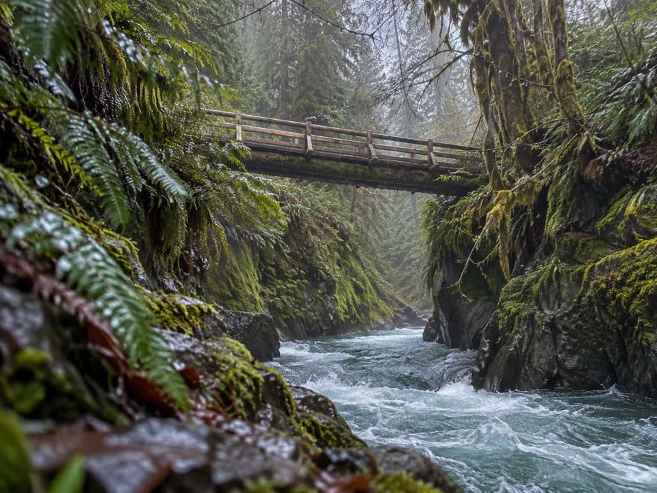 34Pony Bridge TrailA forested gorge with a steep approach and timber bridge.
 35Beach 4 TrailA stairway to Kalaloch tide pools and a rugged Pacific beach.
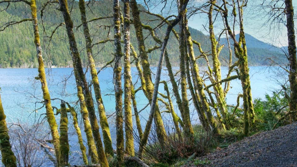 36Spruce Railroad TrailWalk a paved old railroad grade beside Lake Crescent.
 37Hoh Lake TrailA rainforest approach leads to a steep, exposed climb and subalpine lake.
 38Appleton Pass TrailA long climb past Sol Duc Falls to a high mountain pass.
 39Deer Lake TrailA forest climb beside cascades ends at two nearby lakes.
 40Three Lakes Trail via Big CreekA long forest climb to a mossy subalpine lake basin
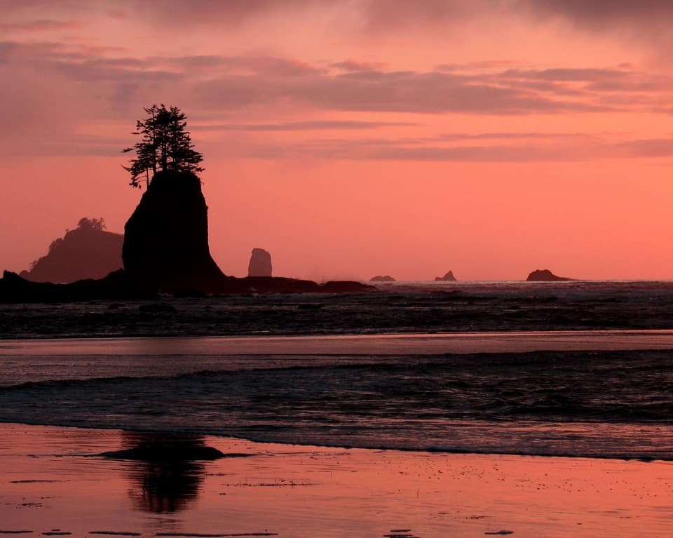 41Third Beach TrailA forest path drops to a driftwood beach and sea stacks.
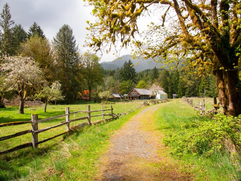 42Kestner Homestead TrailAn easy forest loop to an old homestead and orchard.
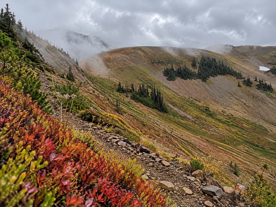 43Badger Valley Primitive TrailA steep descent into wildflower meadows, followed by a long climb back.
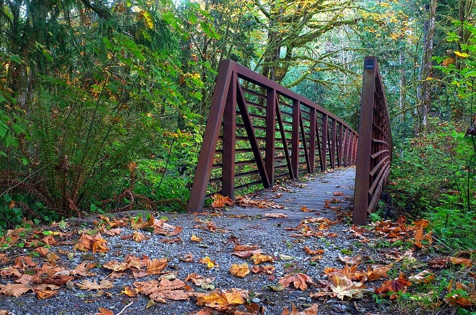 44Quinault Loop Trail #854A boardwalked bog, cascading falls, and Lake Quinault in one loop.
 45Blue Glacier Viewpoint TrailA steep final climb to Blue Glacier’s lateral moraine.
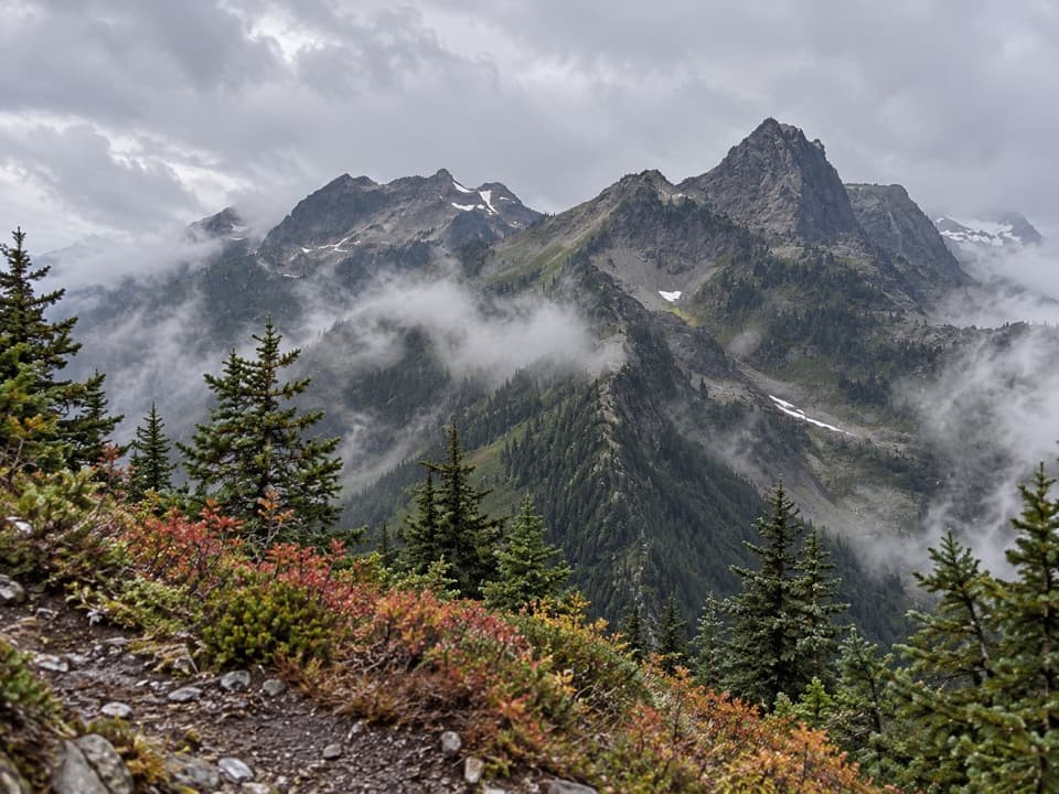 46LaCrosse Pass TrailA steep pass between two remote Olympic river valleys.
 47Boulder Lake TrailA 28-mile round trip to a lake beneath Boulder Peak
 48Wagonwheel Lake TrailA relentless climb ends at a small, turquoise subalpine lake.
 49Duckabush River Trail to Five-Mile CampA 10.6-mile out-and-back climbs Big Hump to Five-Mile Camp.
 50West Fork Dosewallips River TrailA long river-valley climb to Anderson Pass and high meadows.
 51Main Fork Dosewallips River TrailA river valley opens into meadows below a high pass.
 52Elwha River Trail to Lake MargaretLong Elwha wilderness trek to Lake Margaret with a required river ford.
 53Long Ridge Trail to Dodger PointA demanding ridge hike finishes at a 1933 fire lookout.
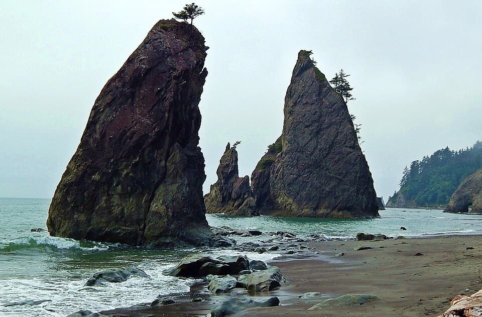 54North Coast Route: Sand Point to Rialto BeachSea stacks and shipwreck memorials, with tides setting the pace
 55Constance Pass TrailA demanding one-way traverse over Constance Pass to Home Lake.
 56O'Neil Pass TrailO'Neil Pass links Upper Duckabush with East Fork Quinault.57South Coast RouteA 17-mile tide-timed traverse past sea stacks, ladders and remote coves.58Lunch Lake TrailA rough half-mile drop to a lake with designated campsites.
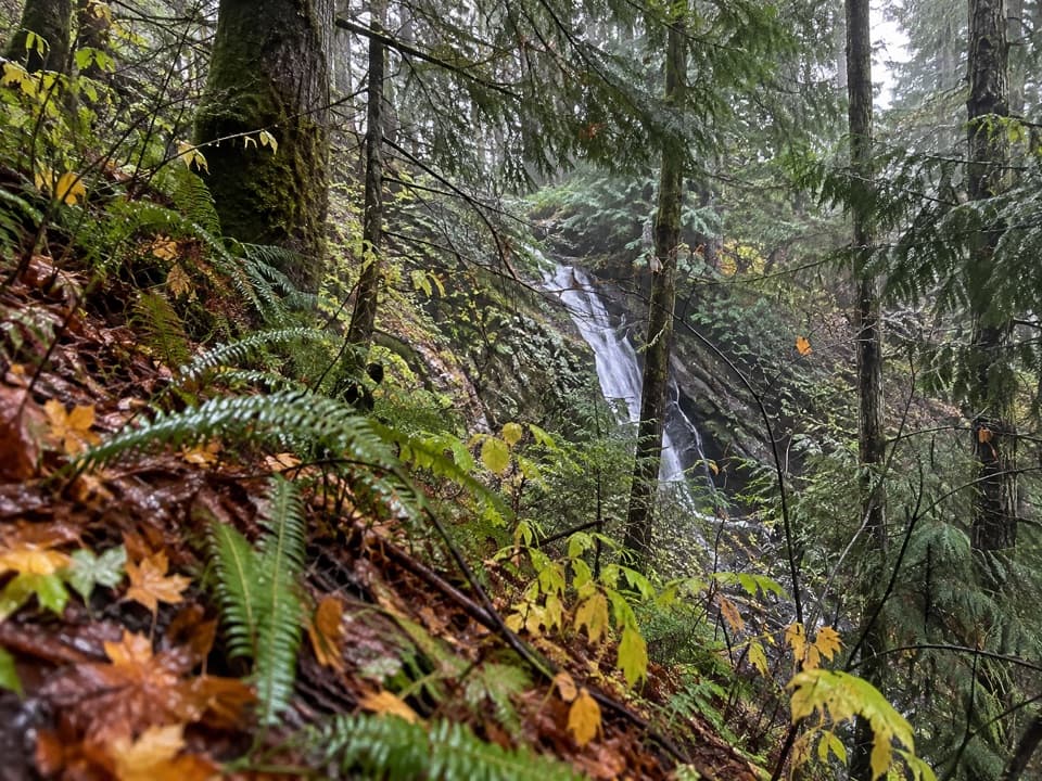 59Wynoochee Pass TrailA rough forest climb to two small ponds at the pass.
 60Humes Ranch and Geyser Valley LoopRiver flats, canyon forest and a 1905 homestead on one loop.
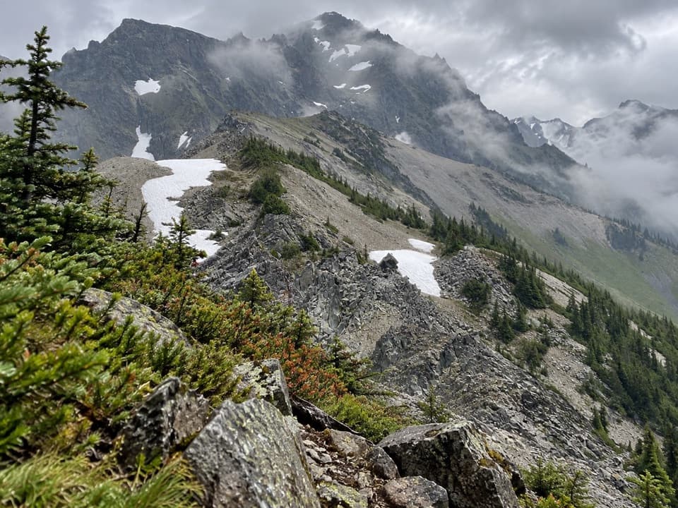 61Upper Graywolf River TrailA hard river-valley climb into the high country at Gray Wolf Pass.
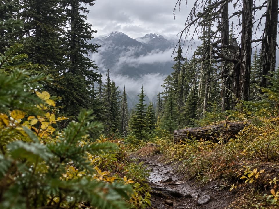 62Three Forks TrailA steep drop into the valley, then the whole climb back.
 63Pyramid Peak TrailA steep climb to a WWII lookout above Lake Crescent.
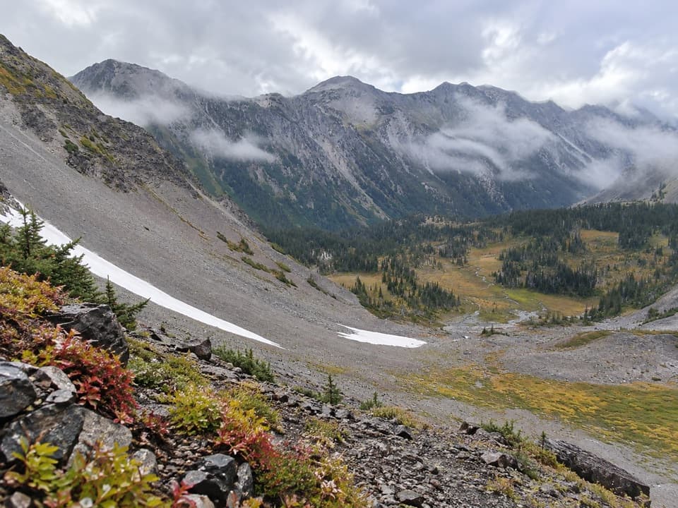 64Cameron Creek TrailA creekside climb into brushy high-country meadows.
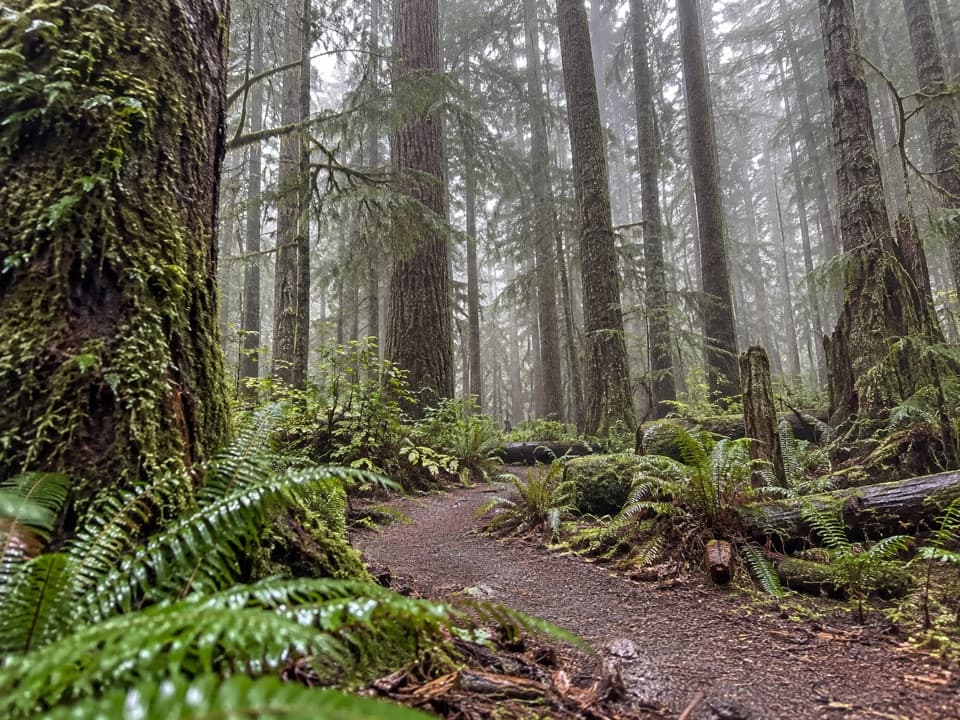 65Heart O' the Forest TrailOld growth and a streamside boardwalk give way to a rougher finish.
 66Kalaloch to Browns Point TrailTree roots and tide pools along an easy beach walk.
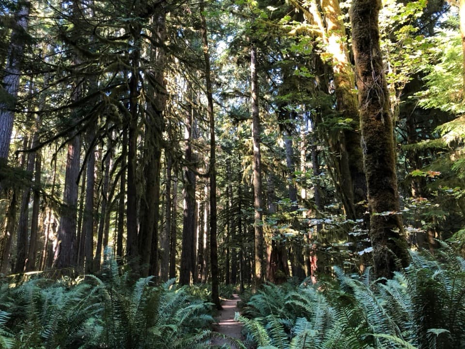 67Moments in Time TrailA mossy forest walk with a short Lake Crescent shoreline stretch.
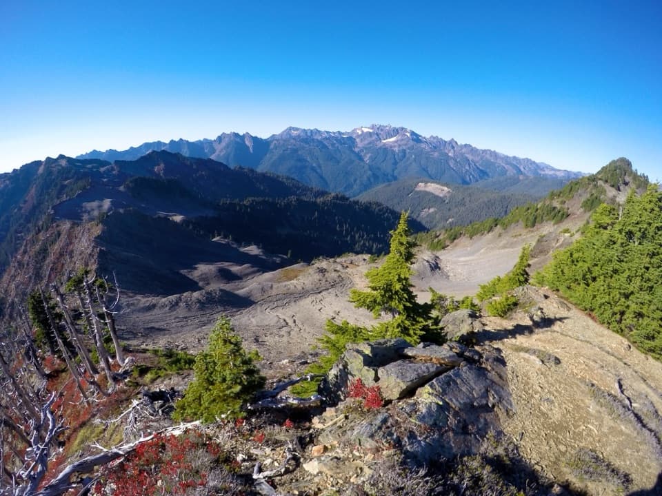 68Skyline Ridge Primitive TrailA rugged ridge traverse past Kimta Peak through remote high country.
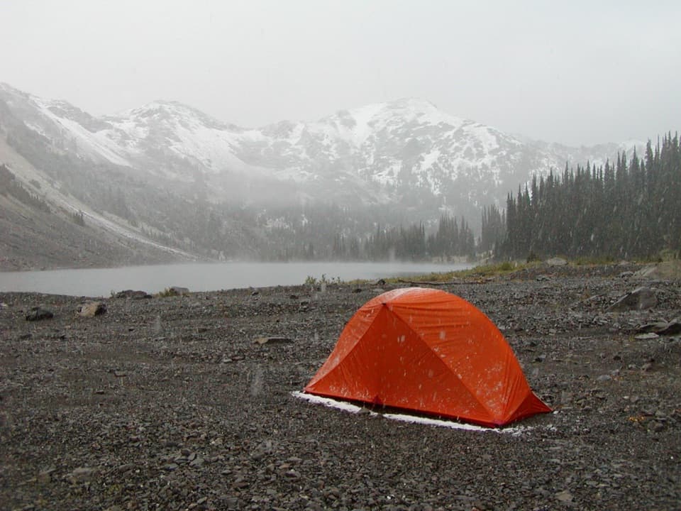 69Cedar Lake Way TrailA steep, brushy climb to a tucked-away mountain lake.
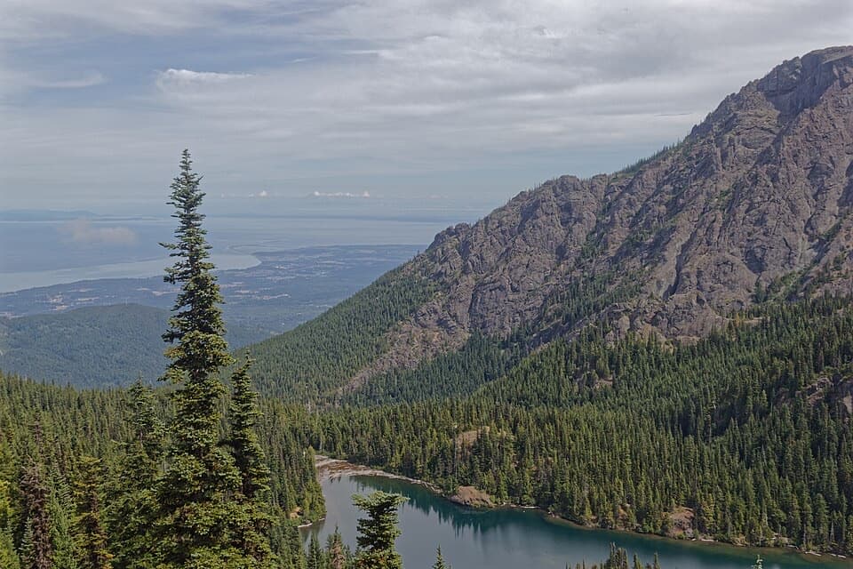 70Heather Park–Lake Angeles LoopA hard ridge loop from flower meadows to a mountain lake.
 71Happy Lake TrailA steep ridge climb drops to a grassy alpine lakeshore.
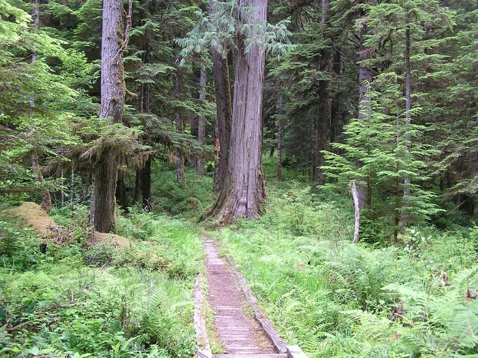 72North Fork Quinault River TrailOld-growth river forest, rugged fords, and meadows at Low Divide
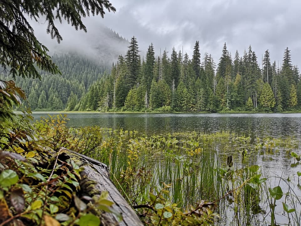 73Mink Lake TrailA steady forest climb to a small lake tucked into meadow.
 74Anderson Moraine TrailA steep alpine spur above a glacier-fed lake below Mount Anderson.
 75Ancient Groves Nature TrailA mossy forest loop with a much hillier tread than it looks.
 76Sol Duc River TrailA river climb that ends at Heart Lake and the High Divide.
 77Bogachiel River TrailA rainforest approach turns into a remote, rough river trek.
 78Black & White, Smith Lake TrailA rough climb over Black and White Lakes to Smith Lake.
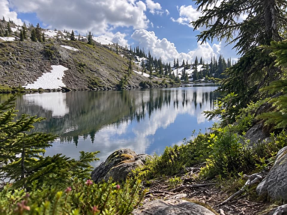 79Black and White Lakes Primitive TrailA steep climb to an open basin of lakes and mountain views.
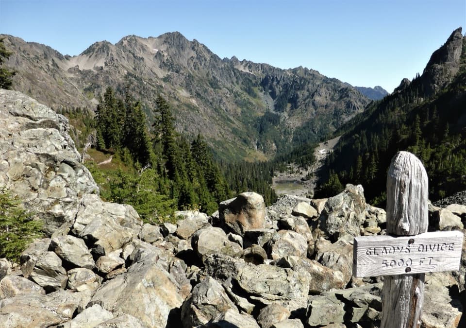 80Gladys Divide Primitive TrailA steep primitive climb from Flapjack Lakes to a high divide.
 81Dosewallips River Road TrailAn old-road walk to two falls in a quiet river canyon.
 82South Fork Hoh River TrailA long rainforest walk to the South Fork’s riverside end
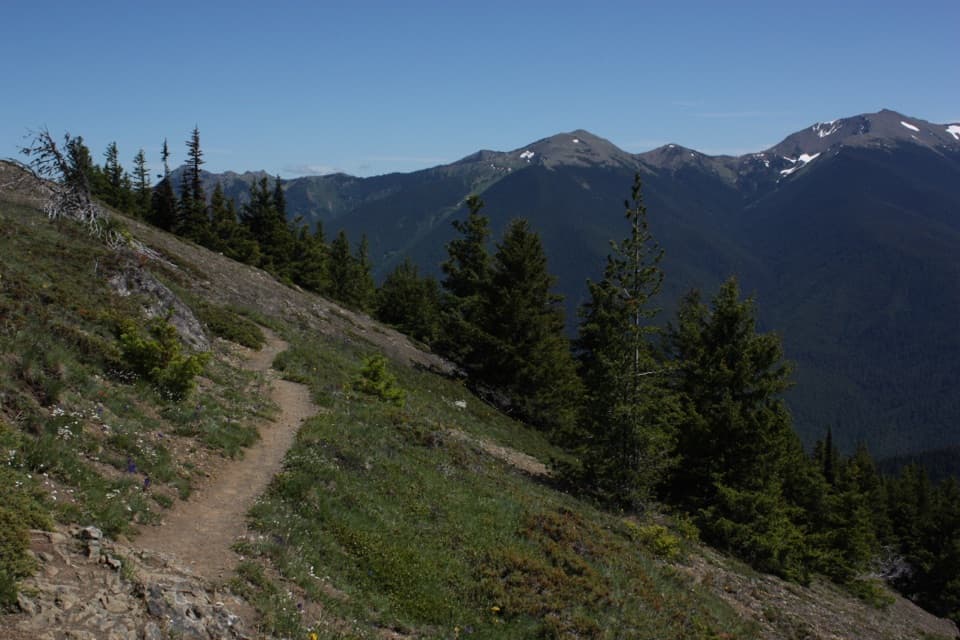 83Deer Ridge TrailRhododendrons give way to open ridges above the Gray Wolf valley.
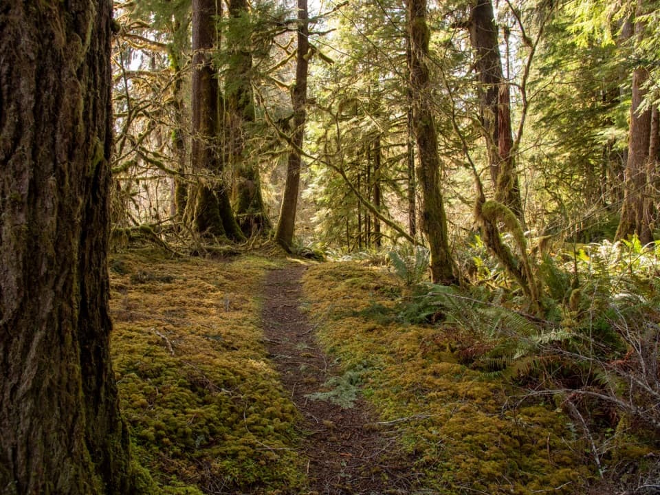 84Sam's River Loop TrailA flat rainforest loop with a river view and a homestead meadow.
 85Goblins Gate TrailA steep canyon spur drops to the Elwha’s narrow rocky gate.
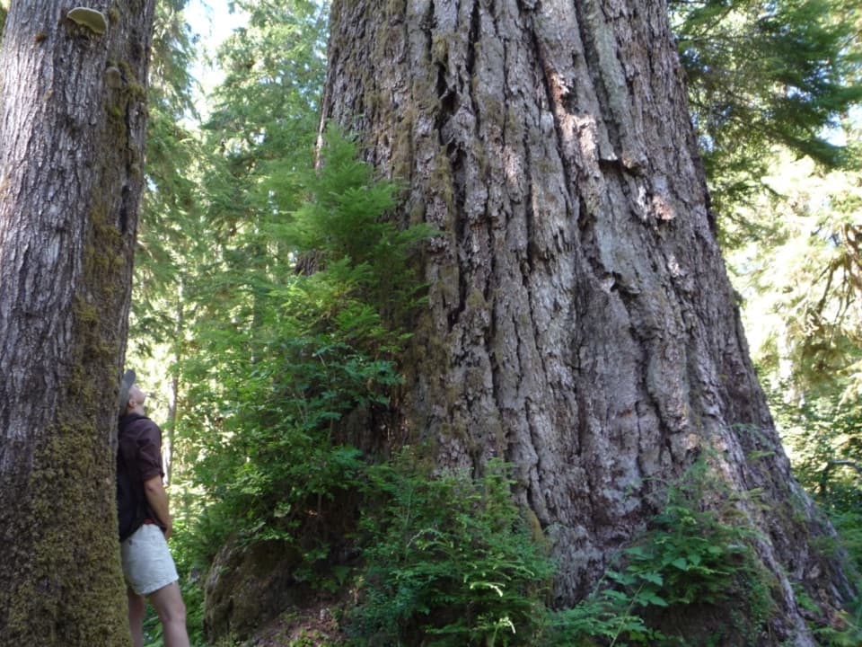 86Queets River TrailA remote rainforest traverse that starts with a risky river ford.
 87Happy Lake Ridge TrailA steep ridge climb opens to alpine lakes and far-reaching views.
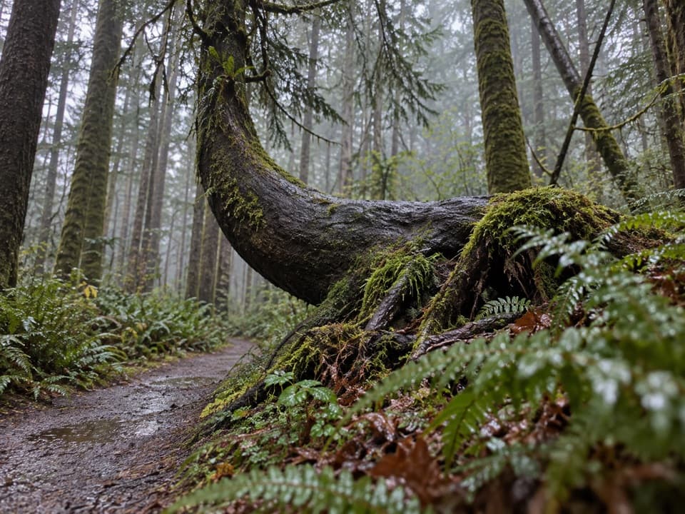 88Kalaloch Nature TrailMossy forest and a creek view on this easy Kalaloch loop.
 89Upper Barnes Creek Primitive TrailA hard 18-mile out-and-back to a quiet creek divide.
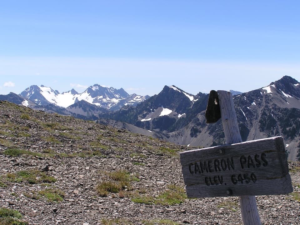 90Cameron Pass TrailA rough climb to an alpine pass and wide mountain views.
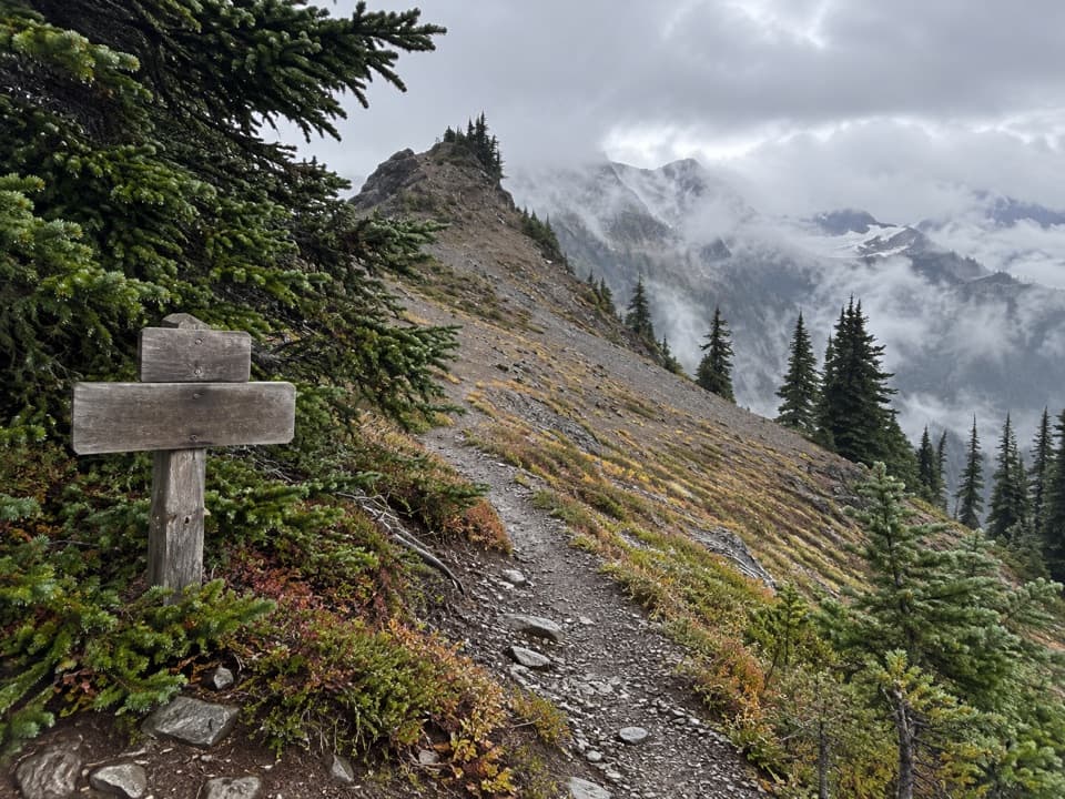 91Hayden Pass TrailA remote 8.3-mile climb from Hayes River to Hayden Pass.
 92Martin's Park TrailA rough backcountry spur leads to lakes atop a 200-foot cliff.
 93Irely Lake TrailA mossy rainforest walk to a small lake with Mount Hoquiam views.
 94Barnes Creek TrailA steady creekside climb to the upper trail junction.
 95Aurora Ridge TrailA long, quiet ridge climb with optional lake and peak detours.
 96Olympic Hot Springs TrailA full-day road-and-trail hike ends at natural hot springs.
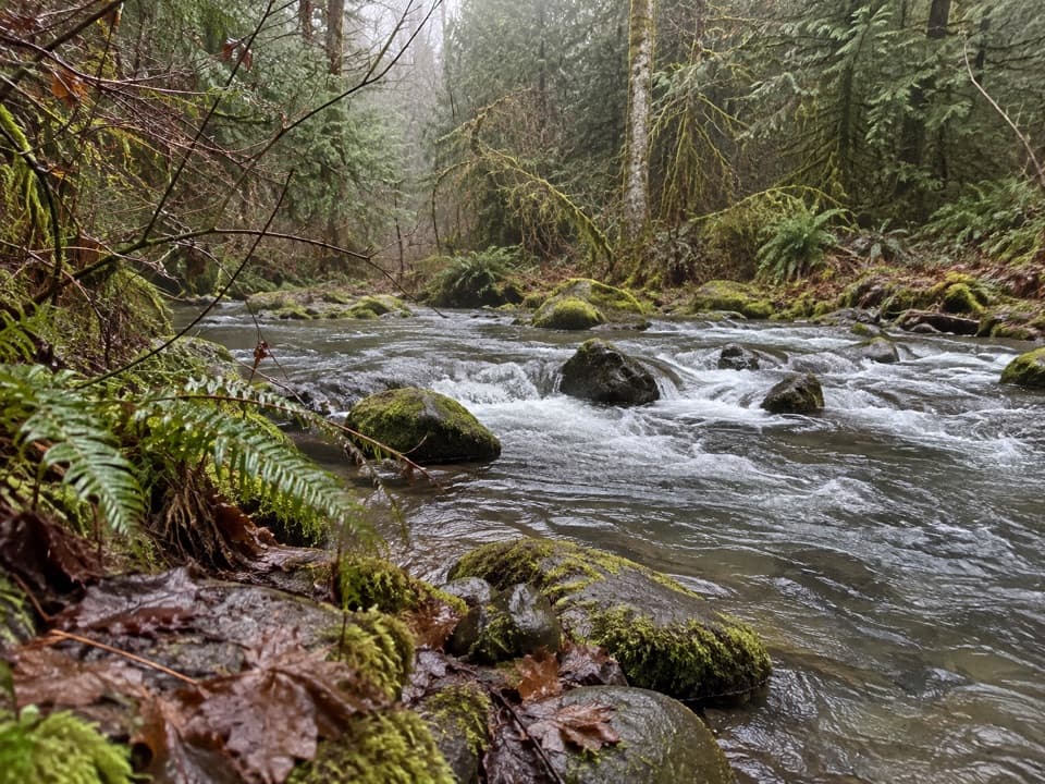 97Four Stream TrailA mossy creek confluence marks the halfway point to the park boundary.
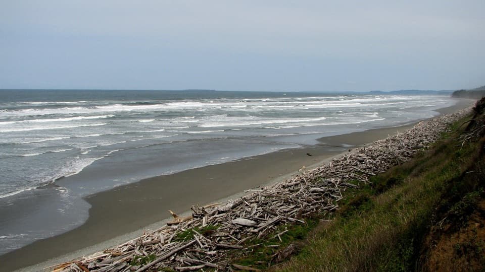 98Beach 1 TrailA short spruce descent ends on a shore piled with drift logs.
 99Beach 3 TrailA steep forest stairway drops to tidepools and rocky shore.
 100Wolf Creek TrailBailey Range views reward a long descent through alpine flowers.
 101Graves Creek Trail to Lake SundownA rugged climb from Graves Creek forest to a remote alpine lake
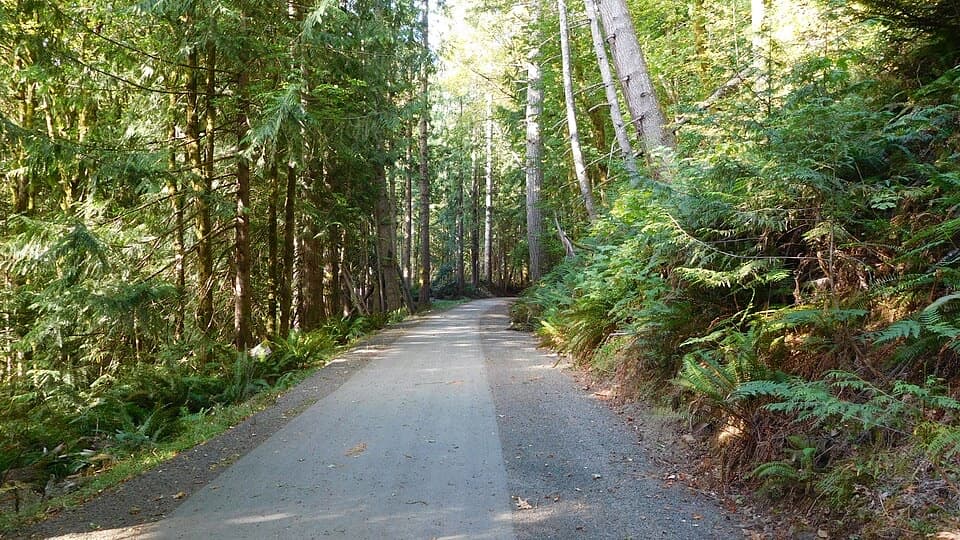 102Olympic Discovery Trail — Lake Crescent WestA paved wheelchair-accessible link follows Lake Crescent’s north shore.
 103Shady Lane TrailA narrow cedar trail with river views and two small bridges.
 104Griff Creek TrailA long approach leads to steep Elwha views from a clearing
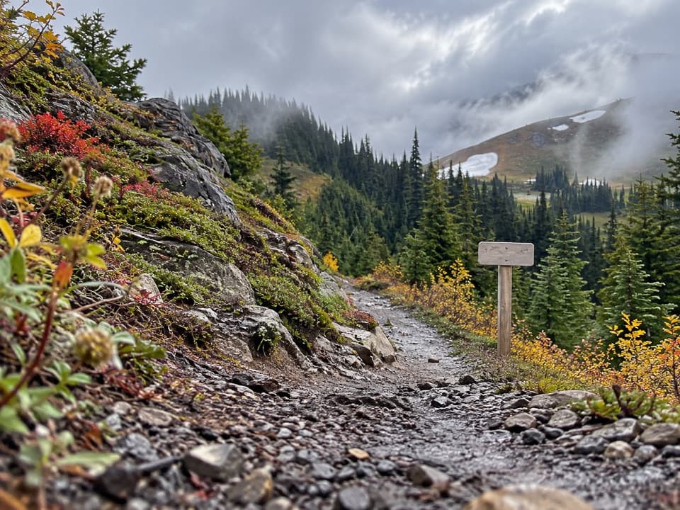 105Little River TrailRiver bridges give way to a high, 4,100-foot climb.
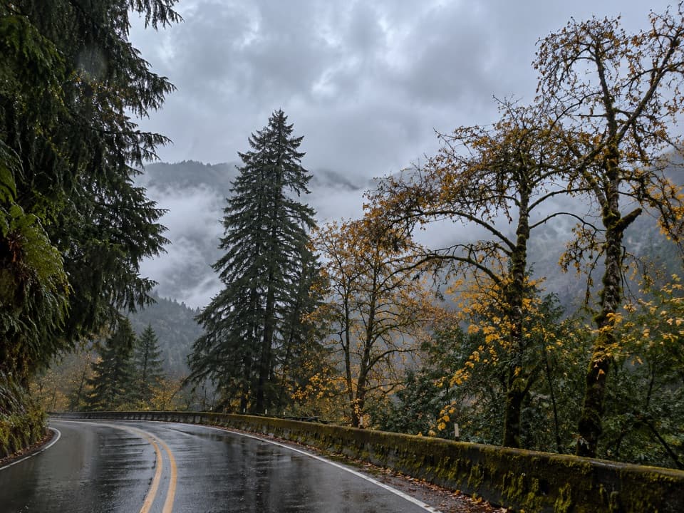 106Aurora Creek TrailA shaded leg-burner to the Aurora Ridge junction.
 107Cascade Rock TrailA steep forest climb to a mossy rock above the Elwha.
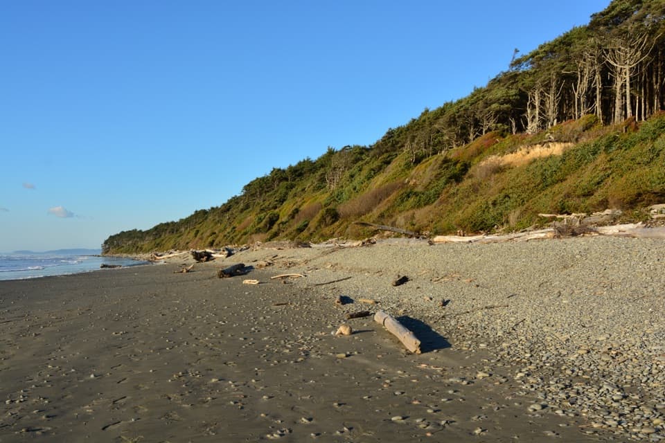 108Beach 2 TrailA steep forest path drops to a driftwood-lined beach.
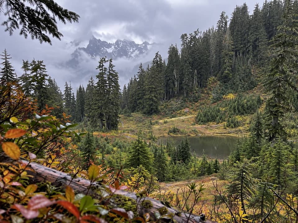 109Upper South Fork Skokomish River TrailOld-growth river valley, rough meadows, and a hard-won alpine lake.
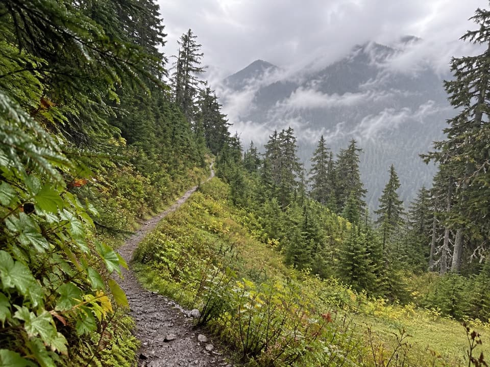 110Six Ridge Primitive TrailA rugged ridge crossing with quiet meadows and long climbs.
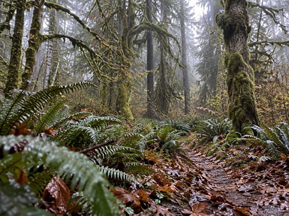 111North Fork Sol Duc River Trail to Second FordA 12.5-mile river out-and-back to the second ford.
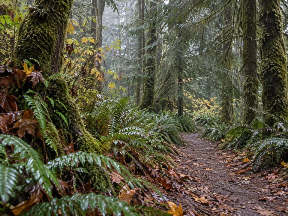 112Living Forest TrailA short forest loop with a fallen-tree root-wad detour.
 113Smokey Bottom TrailFollow the Elwha restoration story into the former Lake Mills valley.
 114Lillian River TrailA 13-mile forest hike to the quiet banks of Lillian River.
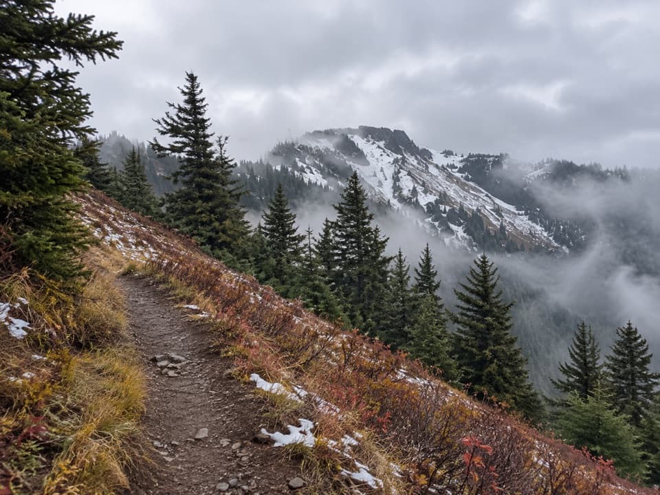 115Elwha to Hurricane Hill TrailA hard forest climb opens into meadows with Bailey Range views.
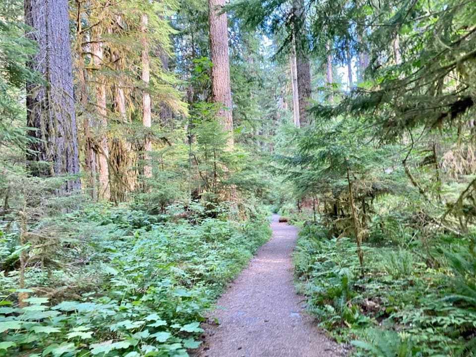 116North Fork Skokomish River TrailA long river-valley walk to a remote Olympic mountain pass.
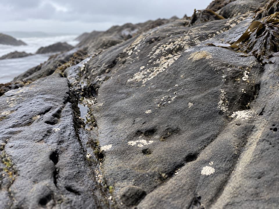 117Beach 6 Nature TrailA brief forest descent to Beach 6’s rocky shore.
 118Big Cedar Trail (Kalaloch)The storm-split cedar is only the first stop on this short walk.
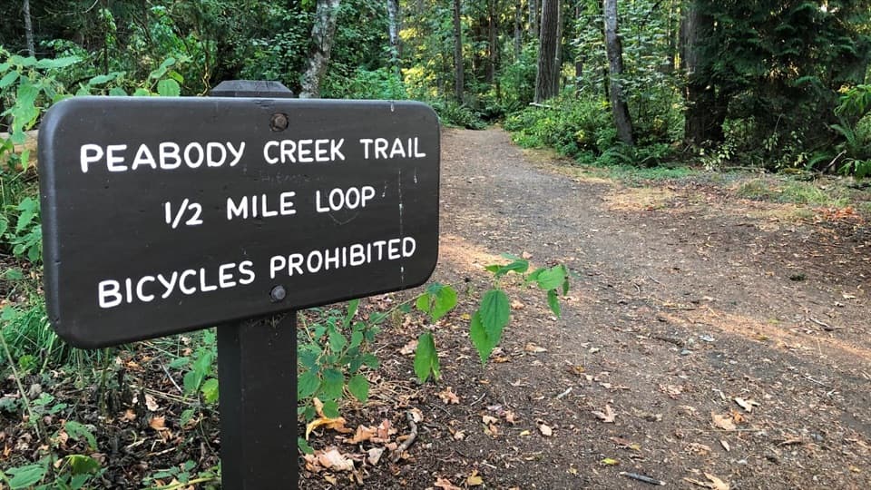 119Peabody Creek TrailA creekside forest walk with bridges, birdsong, and spring flowers.
 120West Elwha TrailA mossy forest walk along the Elwha to the former Altair site.
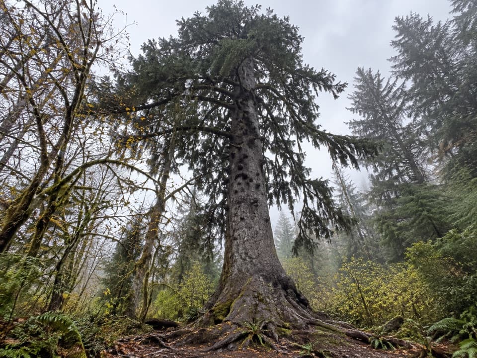 121Quinault Big Sitka Spruce Tree TrailA short forest path leads to a towering Sitka spruce.
 122Aurora Divide TrailA long forest climb reaches a ridge above Lake Crescent.
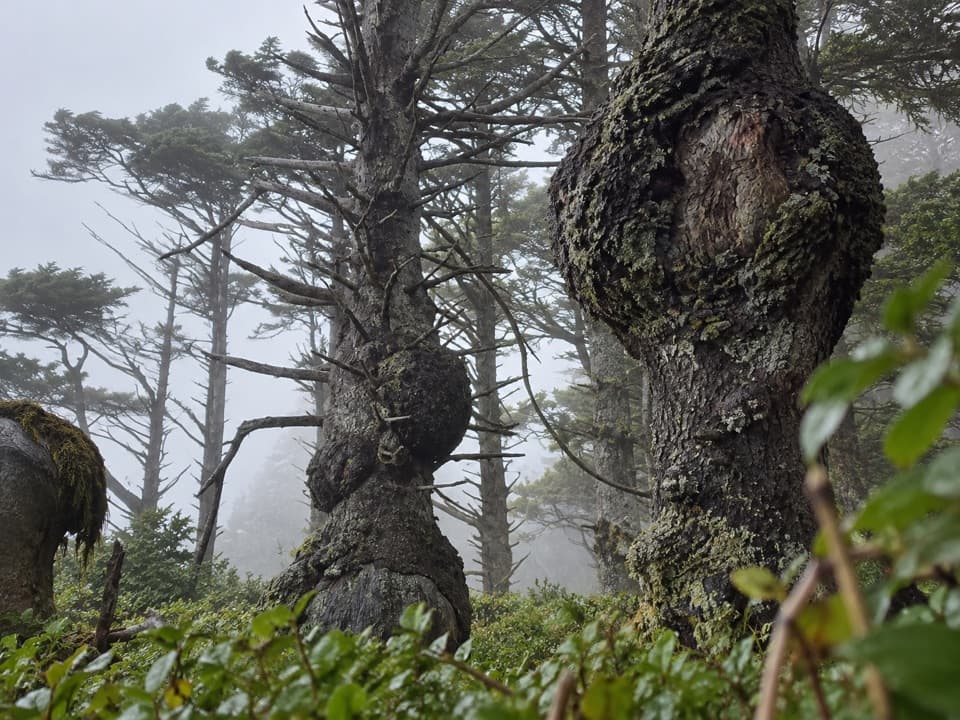 123Spruce Burl TrailA tiny forest loop with big spruce burls to spot.124Peabody Creek LoopA short forest loop drops to Peabody Creek and returns by Aldwell.
 125High Ridge TrailA half-mile loop to 360-degree views above Hurricane Ridge.
 126Cirque Rim TrailA half-mile paved ridge walk to a Strait overlook.
 127Home Sweet Home TrailA steep backcountry link through a high meadow.
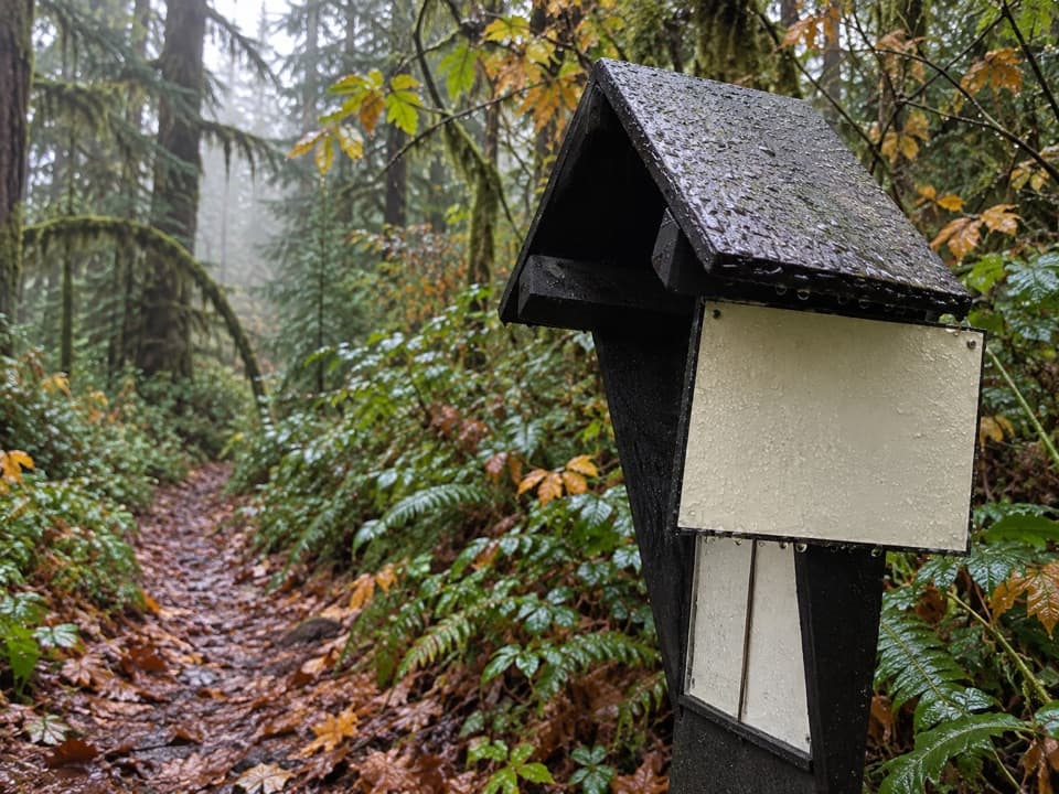 128Smokey Hill TrailA short, steep drop into the Elwha, with the same climb back.
 129Glines Canyon Overlook TrailA road walk to the Elwha’s reborn canyon.
 130Eagle Point TrailA faint 1.4-mile route to Eagle Point's open summit
 131James Pond TrailA flat forest loop where the pond can be hard to spot
 132Quillayute River Slough TrailA mossy forest walk opens to a quiet river view
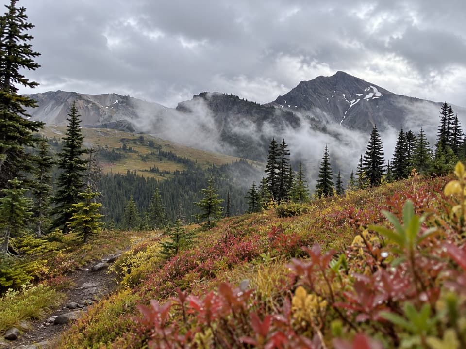 133Lost Pass Primitive TrailA steep, primitive climb to a high-country pass.
 134Mini Rain Forest TrailA quick loop past a bubbling creek, mosses, ferns and bridges.
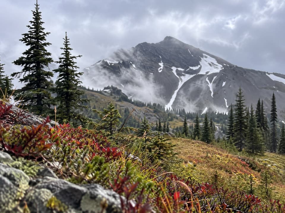 135Cameron-Lost Pass Primitive TrailA rugged high-country connector between two remote passes.
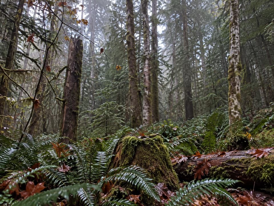 136Fairholme Campground LoopOld-growth forest on a short loop that rises more than expected.
 137Cascading Terraces TrailA short rainforest walk to a Quinault River meadow.
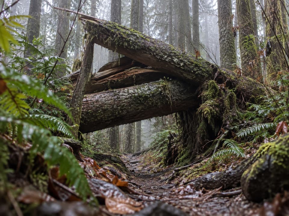 138South Snider-Jackson TrailA remote ridge crossing with a hazardous Bogachiel ford.
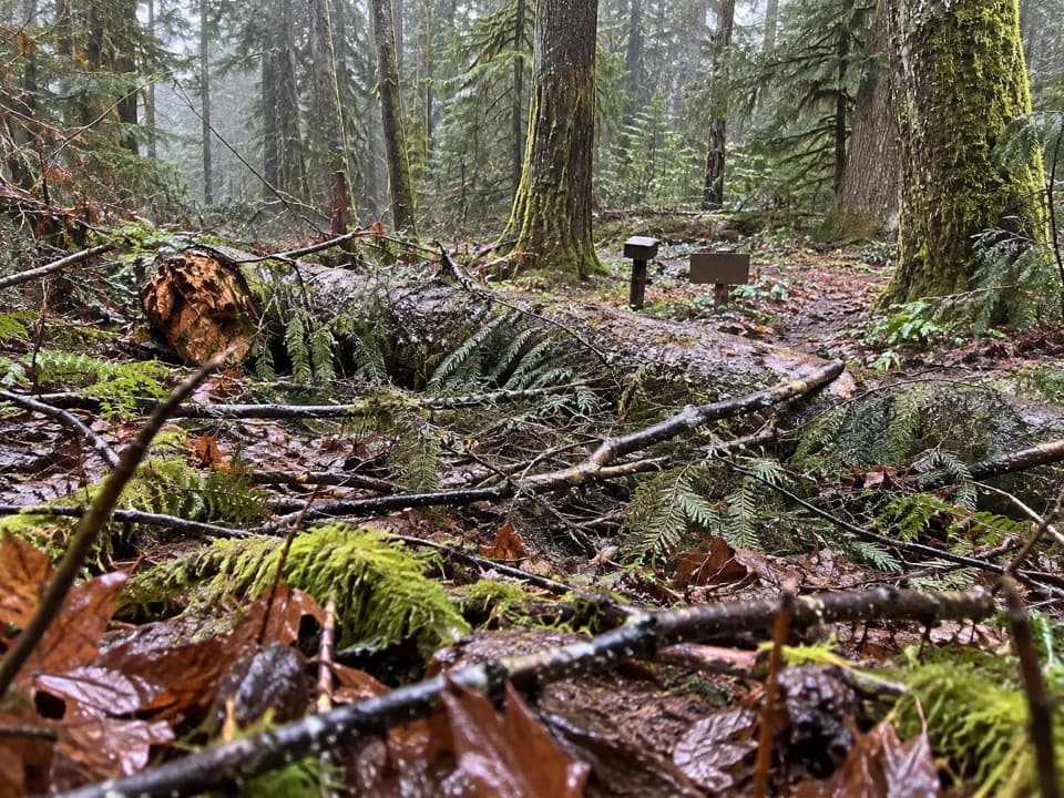 139Dosewallips Terrace Loop TrailAn easy 1.2-mile forest loop above the Dosewallips River.
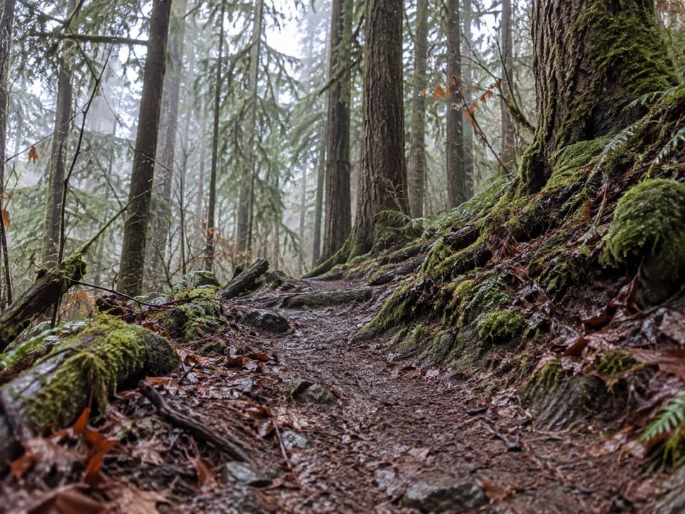 140North Snider-Jackson Primitive TrailA rough ridge crossing into the Bogachiel drainage.
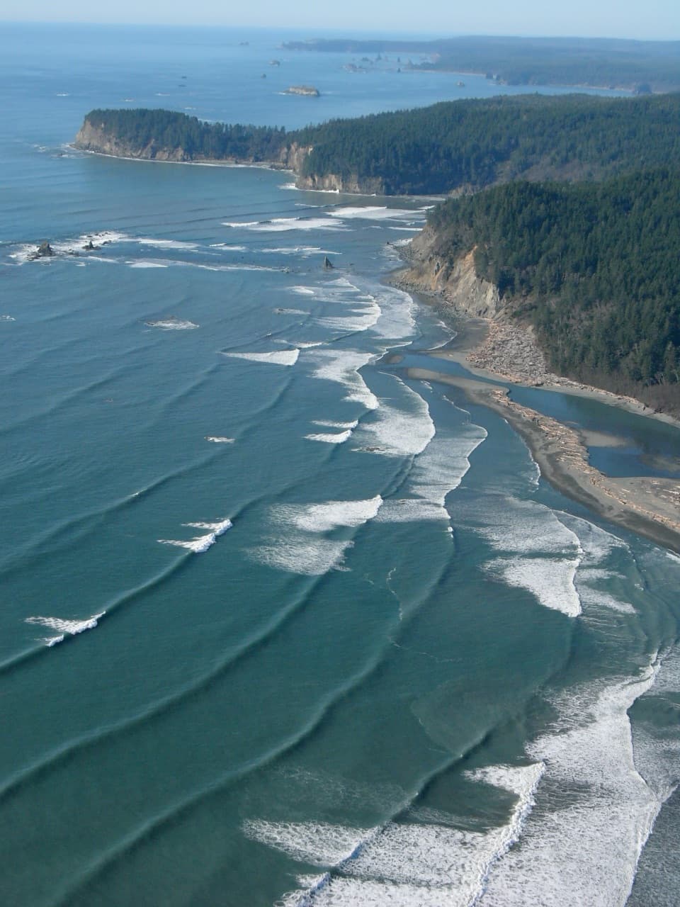 141Oil City TrailA flat forest walk to the Hoh's driftwood-framed mouth.
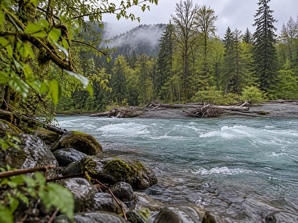 142Elwha Forest Loop TrailA short forest path whose mapped line isn't a loop.
 143Happy Hollow TrailA remote shelter spur at the edge of the Bailey Range
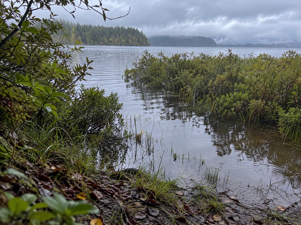 144Ericson's Bay Primitive TrailA remote, flat coast-to-lake walk on slick old boardwalk.
 145Big Cedar Trail (Staircase)A short gravel path to a fallen cedar 14 feet across.
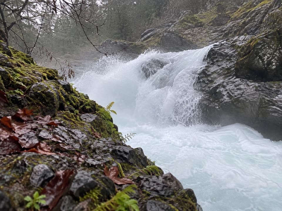 146Salmon Cascades TrailA tiny accessible walk to a waterfall and seasonal salmon.
 147Lookout Rock Nature TrailA quick paved spur to a snowy ridge above a forested valley.
 148Allens Bay RouteA rough lake-to-coast route to a remote shipwreck memorial.

The highest, rockiest slopes around here are a summer buffet for grizzly bears.
Olympic Tour Guide
Olympic, narrated.
Parkwolf is a GPS audio tour guide for Olympic National Park. As you drive, it chimes in with what’s ahead: hidden gems, upcoming stops, history, geology, and wildlife, right through your car’s speakers.
See the Olympic audio tourRecorded for this place
Hurricane Ridge0:00 / 0:33
“You're approaching Hurricane Ridge, where the Bailey Range panorama opens up right beside the parking area. You don't need a long hike for this one.”
Plays as you drive up to Hurricane Ridge in the Parkwolf Olympic Tour Guide.
More stories near here in the app
- Hurricane Hill: Summit or Picnic
- The Griff Fire’s Steep Slopes
- Trees That Grow Sideways
- Switchback Trail to Victor Pass
- 204 audio storiesacross Olympic’s roads, triggered by GPS as you drive
- Wildlife heatmapsfor Olympic Marmot, Humpback Whale, Grey Whale, and 13 more
- Works offlinemaps, 148 trails, 94 places, and audio download before you lose signal
- CarPlay readysimple controls built for the drive
“Fantastic app with many points of information… It’s great to just turn on while you’re driving and it gives you an audio tour of the national Park. We love it!!!!”

